ジーグリスヴィルのおすすめウォーキング&ハイキングルート
4.7
(971)
6,779
ハイカー
132
ハイキング
ジーグリスヴィル周辺でのハイキングは、景色を満喫するのに最適な手段のひとつですが、適切なハイキングルートを見つけることは簡単ではありません。 ジーグリスヴィル周辺の人気ハイキング&ウォーキングコースを参考にすれば、行きたいルートをすぐに見つけられます。
最終更新日: 9月 13, 2026
4.8
(98)
796
ハイカー
11.9km
05:32
960m
960m
難しいハイキング. 標準以上のフィットネスレベルが必要です。 安定して歩行できる技術、丈夫な靴、高標高地での登山経験が必要です。
4.8
(30)
198
ハイカー
10.6km
04:04
180m
910m
中程度のハイキング. ある程度のフィットネスレベルが必要です。 全般的に進みやすいルートです。安定して歩行できる技術が必要です。

4.8
(116)
650
ハイカー
12.9km
05:18
590m
600m
難しいハイキング. 標準以上のフィットネスレベルが必要です。 全般的に進みやすいルートです。安定して歩行できる技術が必要です。
4.8
(82)
607
ハイカー
11.3km
05:09
800m
800m
難しいハイキング. 標準以上のフィットネスレベルが必要です。 全般的に進みやすいルートです。安定して歩行できる技術が必要です。
4.6
(77)
285
ハイカー
6.10km
02:04
310m
310m
中程度のハイキング. ある程度のフィットネスレベルが必要です。 進みやすいルートです。あらゆるスキルレベルに適しています。
さらに多くのルートや他のユーザーのおすすめ情報を確認できます。
すでにアカウントをお持ちですか?
おすすめのツアーは他のkomootユーザーが実際に経験した何千ものアクティビティに基づいています。
無料アカウントで今日から始めよう
次の冒険が待っています。
ジーグリスヴィル周辺で人気
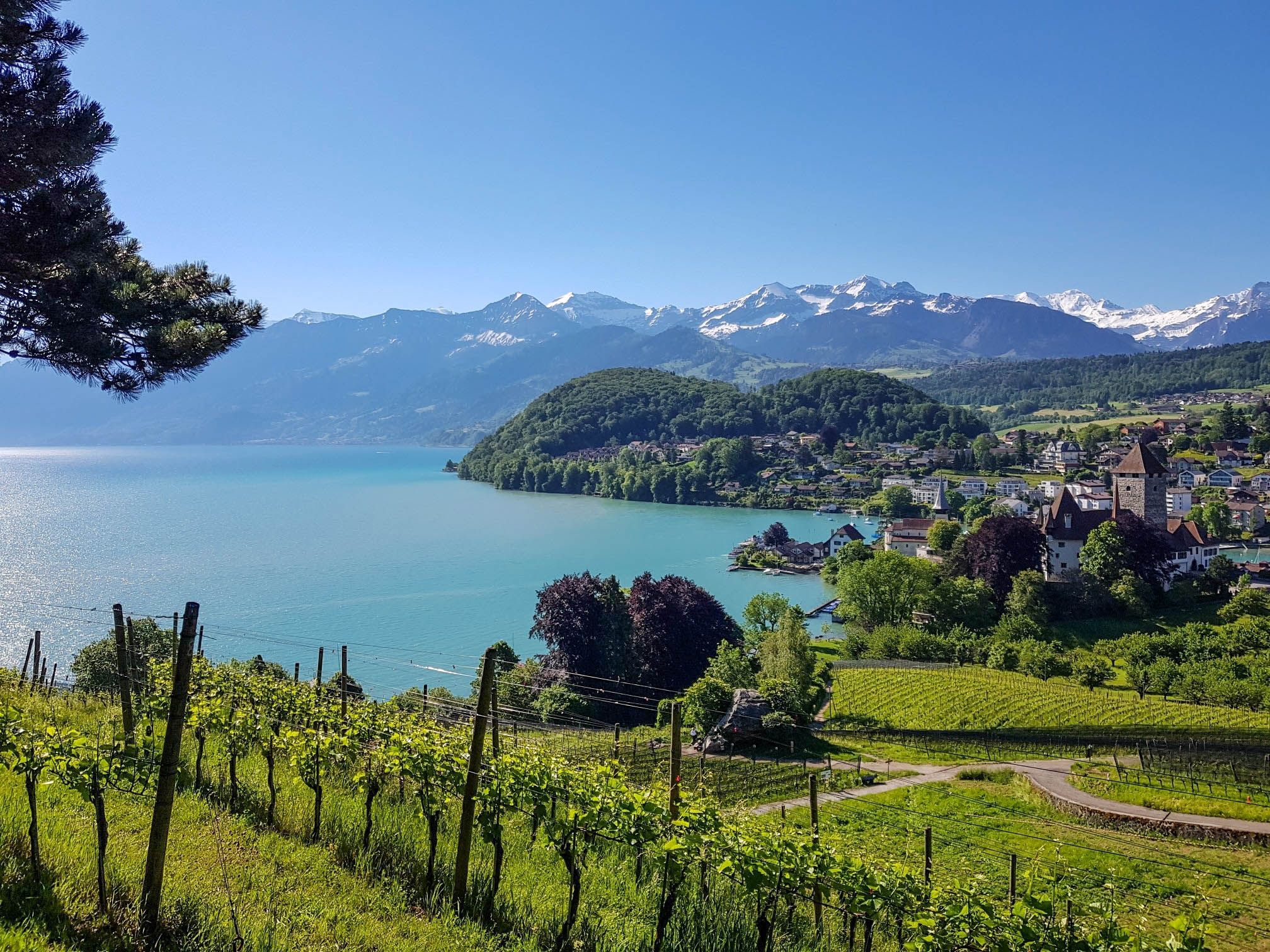
スイスのスーン湖を囲むパノラマ帯状トレイル - レイクビューがたまにならない
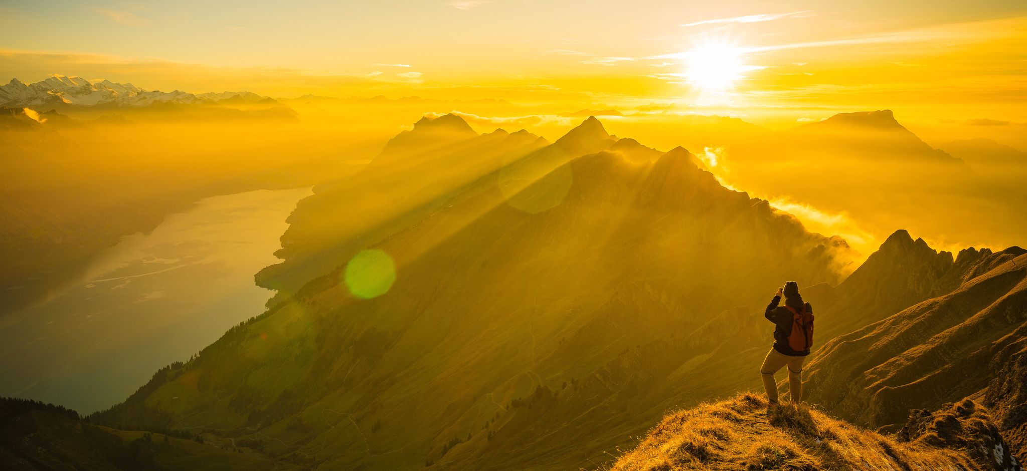
Mighty peaks and turquoise lakes – hiking in Interlaken in Switzerland
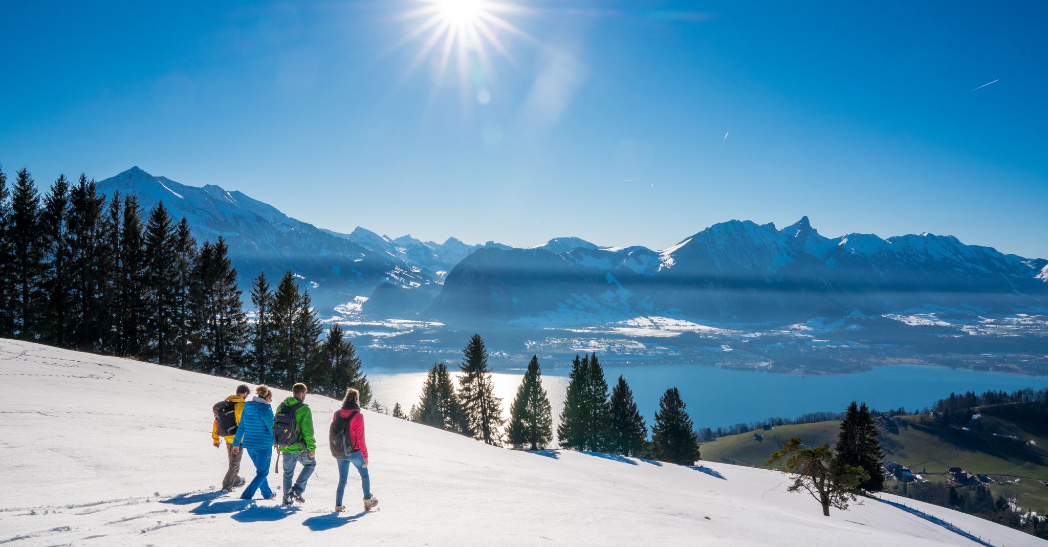
Let it snow! Winter hikes in the Bernese Oberland
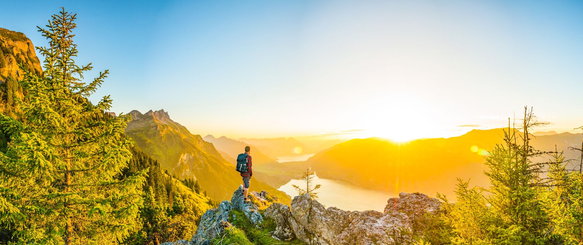
Magnificent Bernese Oberland – Hiking around Interlaken
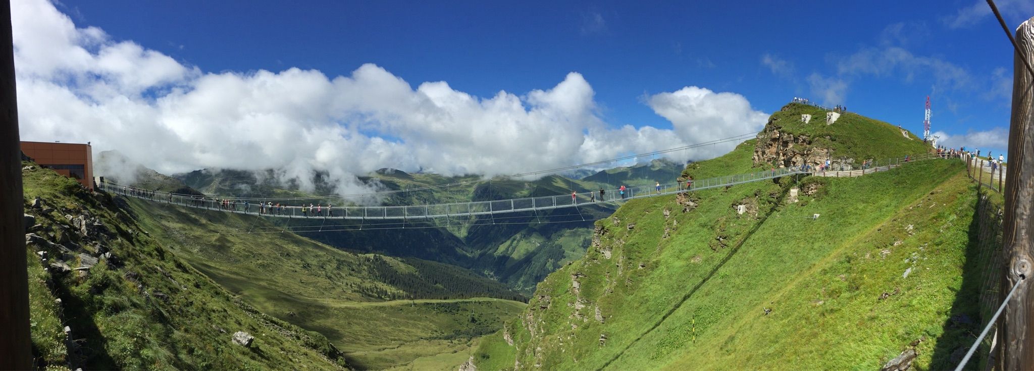
Spectacular suspension bridges
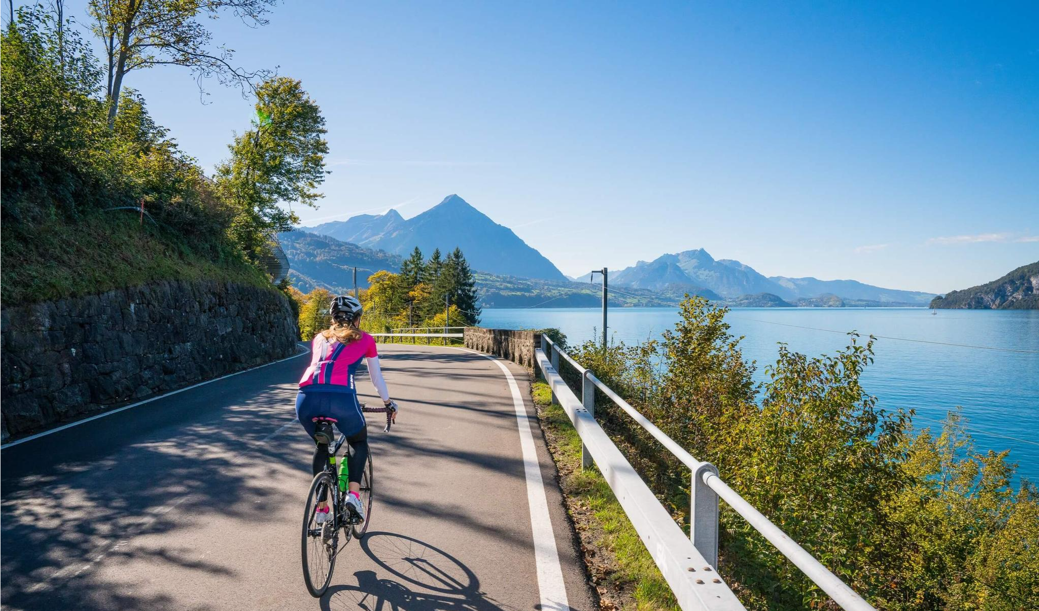
Auf zwei Rädern unterwegs im Berner Oberland
ジーグリスヴィルでののグラベルライド
ジーグリスヴィルのMTBトレイル
ジーグリスヴィルのロードバイクルート
ジーグリスヴィルでのサイクリング
ジーグリスヴィルでのの他の冒険


コミュニティからのヒント


The hiking trail to the Sigriswiler Rothorn comes close to the tunnel entrance. However, the trail turns left 50 meters before that.
8
0
Beautiful and little-frequented summit with panoramic views
7
0


Difficult ascent including easy climbing but at the top everything is forgotten, the effort was worth it, the view is amazing.
0
1

The Sigriswiler Rothorn (2,051 m) is an impressive vantage point high above Lake Thun ⛰️🌊. The ascent is mostly along the ridge and requires surefootedness and a head for heights ⚠️🥾 – caution is advised, especially in wet conditions. At the top, you'll be rewarded with a fantastic 360° panorama: views of the Eiger, Mönch, and Jungfrau, the Mittelland, and Lake Brienz and Lake Thun 🏔️👀 – ideal for a summit rest and impressive photos 📸. Equipment: Sturdy hiking boots, weather protection 🧥, provisions 🥪, water 💧. No food or drink options along the way. Recommendation: Set off early ⏰, and avoid the ridge in uncertain weather. An absolutely worthwhile summit for experienced hikers!
1
0
The western entrance to the Schafloch is located slightly below the ridge and is easy to miss 👀 – pay attention to the trail markings! The entrance is via a short, steep path that can be slippery when wet ⚠️🥾. From here, the natural rock tunnel leads about 20m through the mountain – a fascinating experience 🪨⛰️. View: Right at the western portal, there is a magnificent view of Lake Thun and the Mittelland 🌄🌊 – be sure to pause for a moment and enjoy! Equipment: Sturdy hiking boots 🥾, possibly poles 🦯. A headlamp 🔦 is useful, as it is quite dark inside the tunnel. A cell phone 📱light will not suffice 😉. Safety: Not suitable in heavy rain or snow – the tunnel floor can become slippery. Recommended only for sure-footed hikers with a head for heights ⚠️. Special feature: The tunnel was formed by geological processes and is a rare natural phenomenon in Switzerland. It is one of the highlights of the Sigriswil ridge hike 🏞️.
1
0
A beautiful spot with stunning views of the Bernese Oberland! ⛰️🌲. The trail is well marked, but surefootedness is required, especially in wet conditions ⚠️. Recommendation: Start early ⏰ to enjoy the peaceful morning atmosphere! Equipment: Sturdy hiking boots 🥾, weatherproof clothing 🧥, and poles 🦯 if needed. Note: No refreshment stops – bring plenty of water 💧 and provisions 🥪.
2
0

komootモバイルアプリでインスピレーションを得よう


さらに探索
他の地域の最高のハイキングを見てみましょう。
