ルート

プランナー

機能

アップデート

App

ログインまたはサインアップ

アプリを入手

ログインまたはサインアップ

ルート
Places to see
Canyons
スイス
エスパスミッテルランド
ベルナーオーバーラント
トゥーン

ジーグリスヴィル

ジーグリスヴィルの峡谷・トップ17

ジーグリスヴィルには 17
の息を呑むほど美しい峡谷があります。以下に紹介する必見の峡谷一覧に掲載されている写真、おすすめ情報、その他のデータを参考にして、次の冒険でジーグリスヴィルの美しい峡谷を訪れる際に役立てましょう。

最終更新日: 9月 2, 2026

カンダー川に架かるシュトレットリグシュテーク歩行者橋

ハイライト • 橋

Pure adventure and nature on the way

翻訳者 Google •

役立つ情報

によるものです

ここでのハイキングを見る

スマートフォンに送信

保存

Cholerenschlucht渓谷

ハイライト • 峡谷

Wonderfully beautiful, but sometimes quite steep gorge with a lot of potential for slipping. Good shoes recommended. Tip: If the ground is damp and wet, it is better to hike …

翻訳者 Google •

役立つ情報

によるものです

保存

今すぐサインアップして、こんな場所を発見しよう

最高のシングルトラック、ピーク、その他のエキサイティングなアウトドアスポットのおすすめを受け取ろう。

無料新規登録

野趣あふれるズルト谷

ハイライト (セグメント) • 峡谷

Always along the shore leads an exciting hiking trail through the Suldtal. On both sides, high mountain slopes and dense forests line the river.

翻訳者 Google •

役立つ情報

によるものです

保存

The only possible crossing to get to the Choleren Gorge. Completely unsuitable for dogs, you can only let them run on the pipe at the same time.

翻訳者 Google •

役立つ情報

によるものです

保存

Justistal

ハイライト • 峡谷

The Justis Valley – a wildly romantic valley nestled between the Sigriswil ridge and the Niederhorn mountain. The valley is home to various alpine pastures and is famous for its annual cheese festival (Chästeilet) in autumn.

翻訳者 Google •

役立つ情報

によるものです

保存

無料でサインアップして、さらに多くの峡谷を発見しましょう ジーグリスヴィルでの。

無料新規登録

すでにアカウントをお持ちですか?

無料アカウントで今日から始めよう

次の冒険が待っています。

ログインまたは登録

ジーグリスヴィル周辺で人気

スイスのスーン湖を囲むパノラマ帯状トレイル - レイクビューがたまにならない
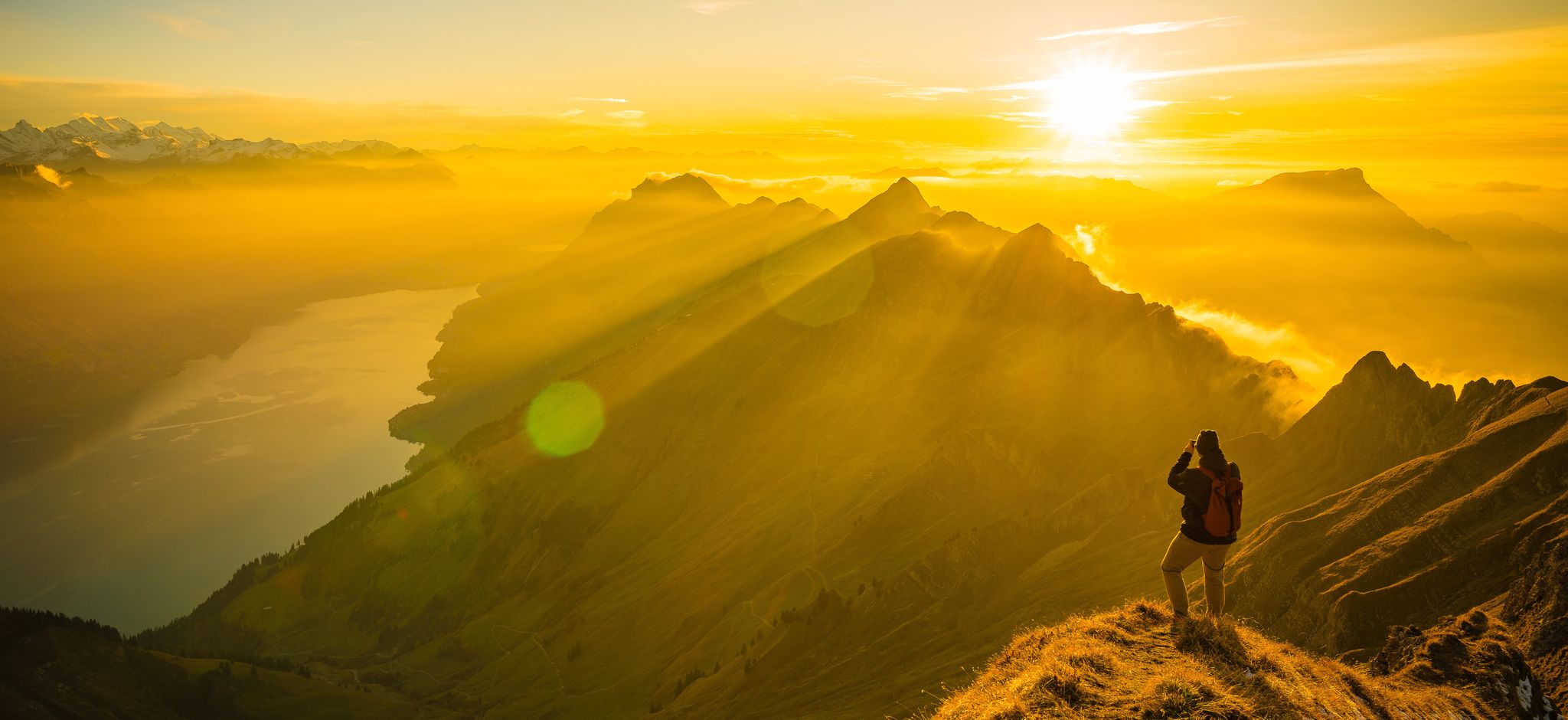
Mighty peaks and turquoise lakes – hiking in Interlaken in Switzerland
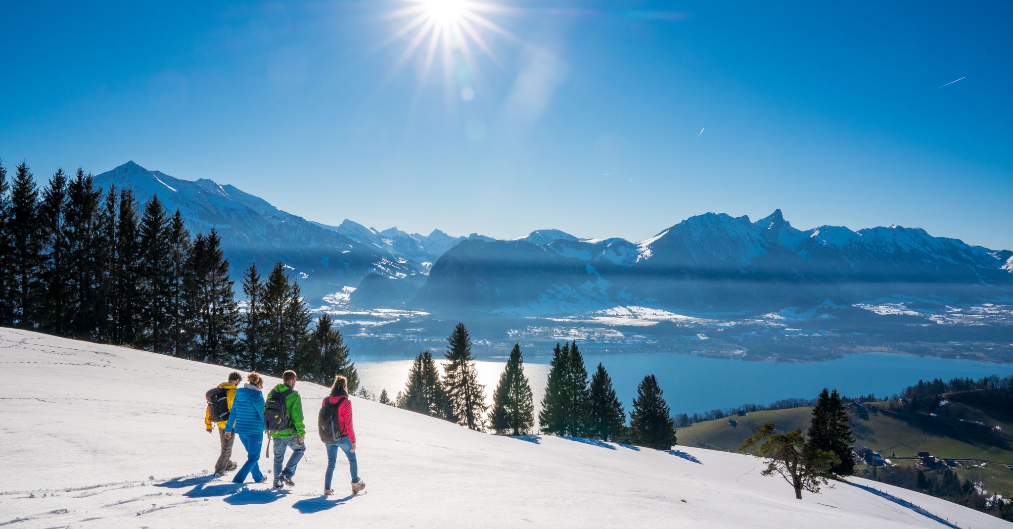
Let it snow! Winter hikes in the Bernese Oberland
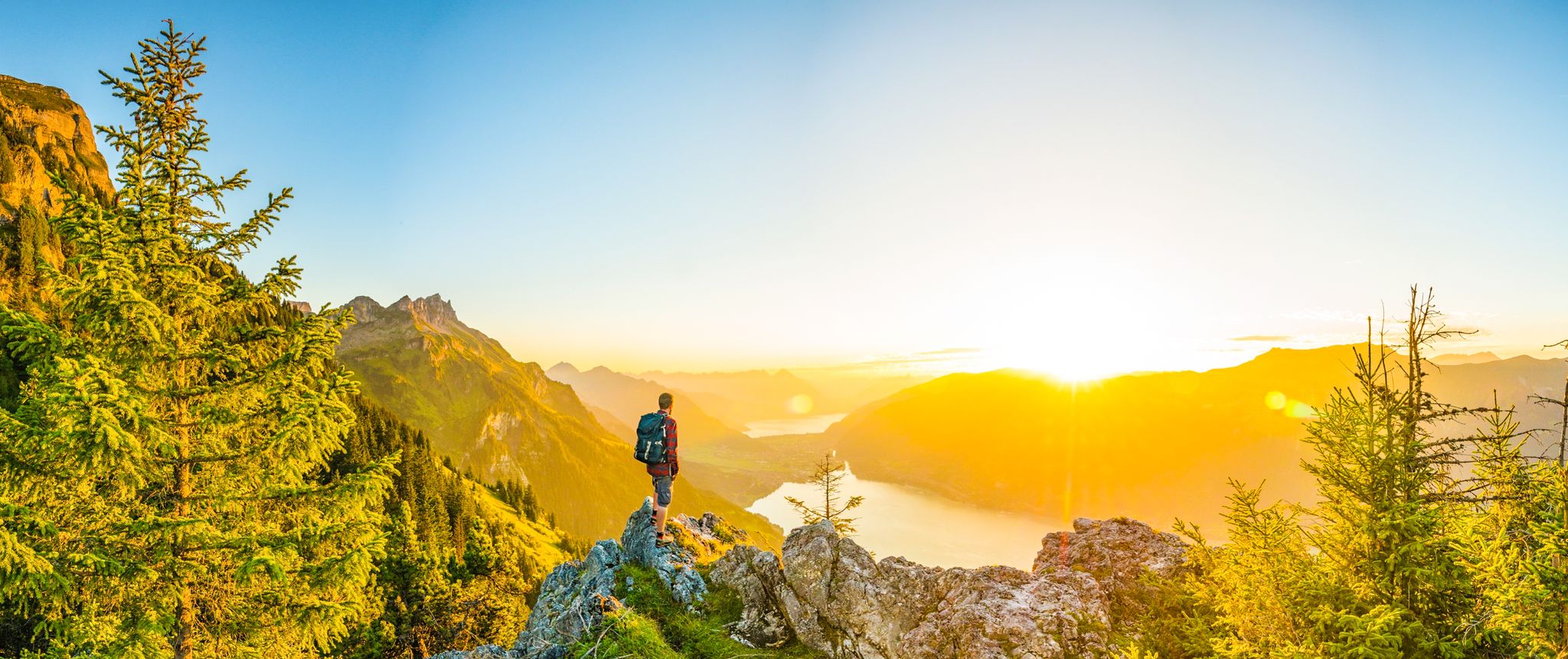
Magnificent Bernese Oberland – Hiking around Interlaken
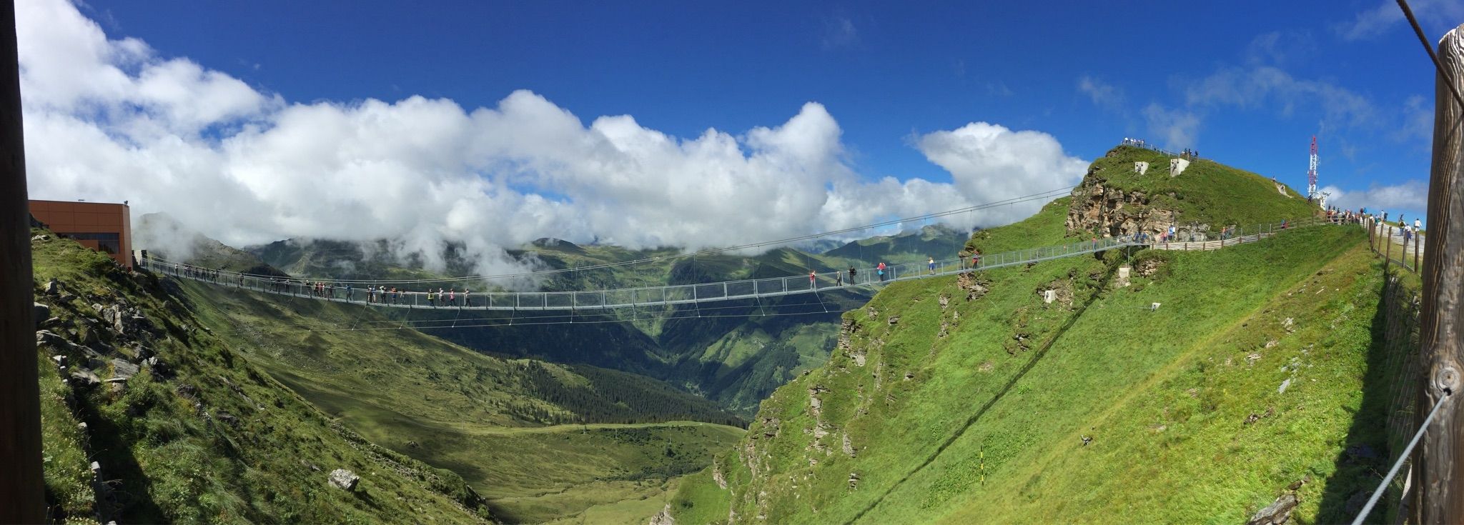
Spectacular suspension bridges
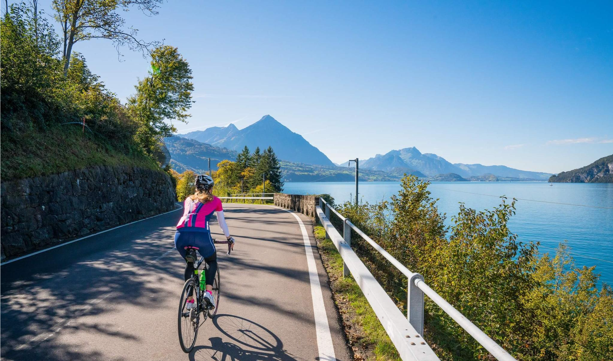
Auf zwei Rädern unterwegs im Berner Oberland
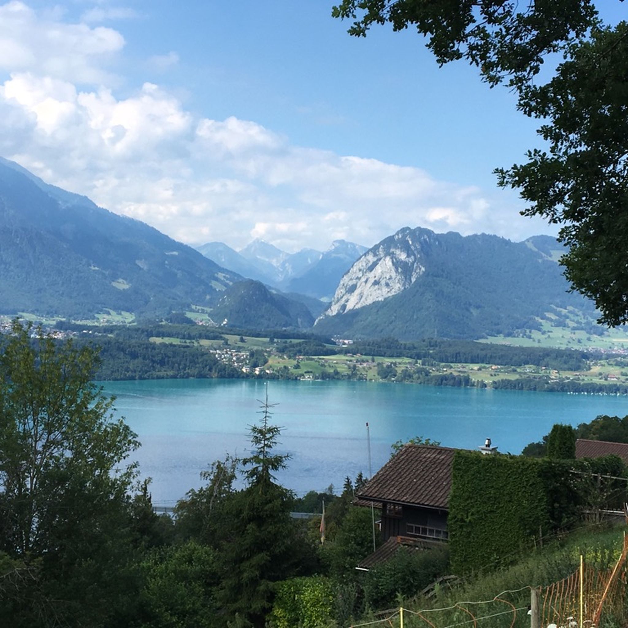
ジーグリスヴィルでのハイキング
ジーグリスヴィルでののグラベルライド
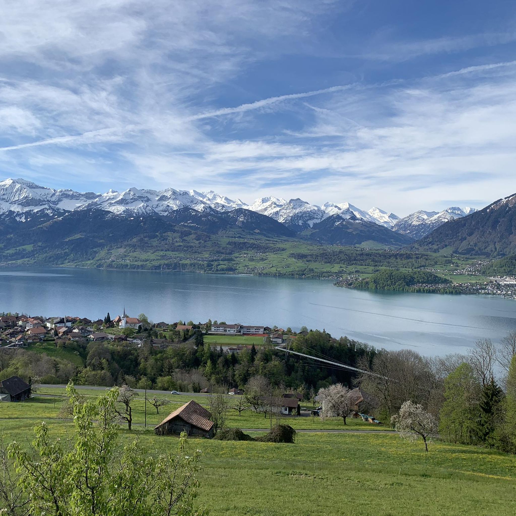
ジーグリスヴィルのMTBトレイル
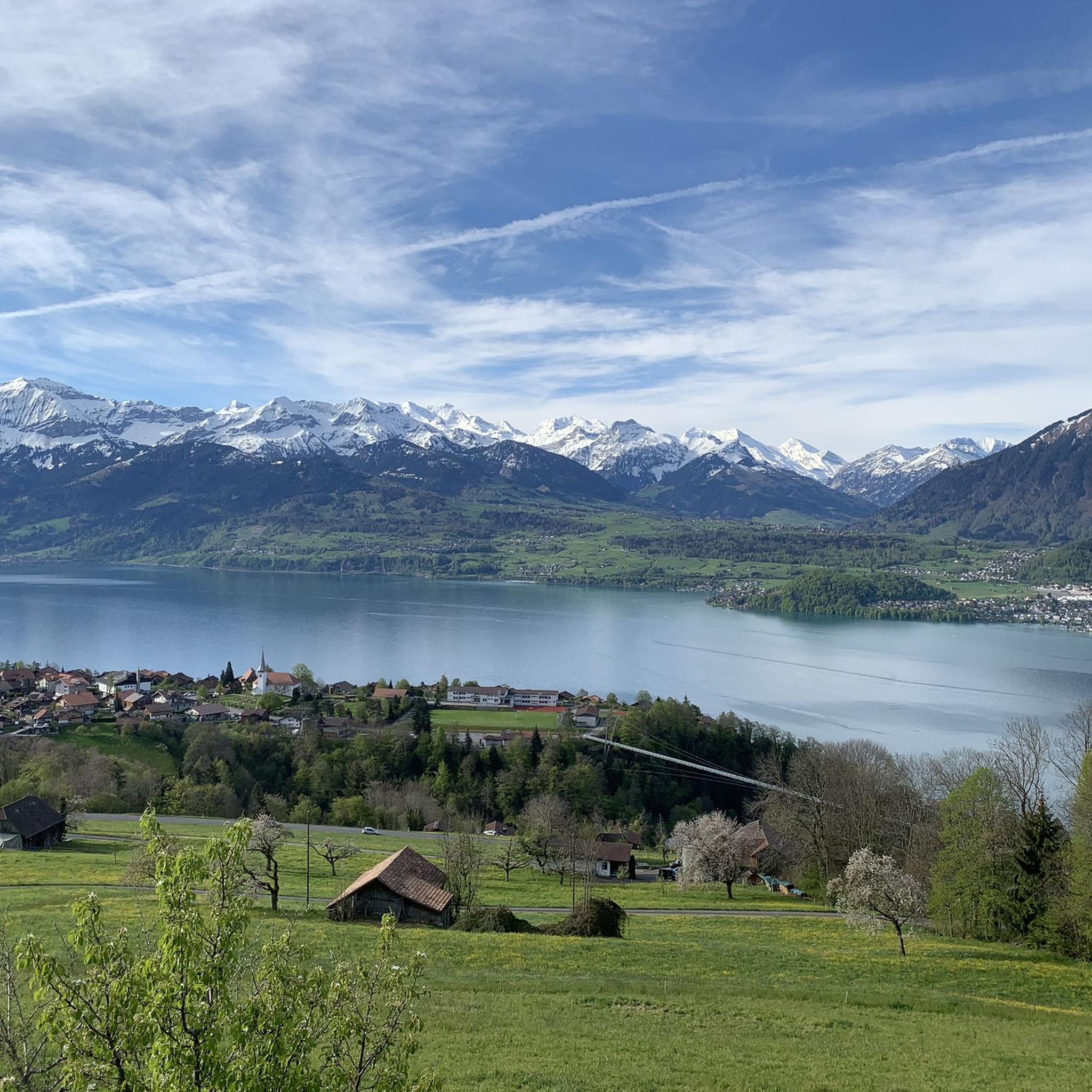
ジーグリスヴィルのロードバイクルート

ジーグリスヴィルでのの他の冒険

スイスのスーン湖を囲むパノラマ帯状トレイル - レイクビューがたまにならない

ハイキングのコレクション によって

Tamara (unterwegs)

コミュニティからのヒント

oester
5月 10, 2026, Hängebrücke Cholerenschlucht

自転車を橋まで運ぶ必要があります

Google翻訳による翻訳

0

0

The cheese sharing event takes place here in September

Google翻訳による翻訳

0

0

The upper part is more demanding than the lower

Google翻訳による翻訳

0

0

That was really mega beautiful

Google翻訳による翻訳

0

0

The Choleren Gorge, which was created by the erosion of the Cholerbach. With steep cliffs, thundering waterfalls and winding paths, it offers hikers and nature lovers a spectacular experience. Wooden bridges and stairs enable safe exploration of this fascinating natural setting. The name "Cholerenschlucht" is probably related to traditional charcoal burning. The Choleren Gorge used to be known for its charcoal kilns, where charcoal was produced. The name "Choleren Gorge" could thus refer to this historical activity. A second theory is that the term comes from the Latin word "colera" which means "bile" or "anger" and could refer to the wild waterfalls and the impressive nature of the gorge. A third theory holds that the name comes from the old Swiss German word "chole" meaning "little stream" or "little river".

Google翻訳による翻訳

0

0

Actually still romantic and wild, unfortunately cars can drive up to the Pochtenresti.

Google翻訳による翻訳

0

0

A descent into the Kander Gorge, especially at this point, is not recommended and dangerous. There is no real path leading down to the Kander and when the weather is uncertain, the river can become a raging beast. The view straight down from the Strättligensteg is picturesque.

Google翻訳による翻訳

0

0

The Kander puncture through which the Kander flows and over which the Strättligensteg leads is not of natural origin. Due to constant flooding in the hinterland, it was blown up in the rocks to allow the wild Kander in the Einer Kanderdelta to flow into Lake Thun. The gorge is not accessible and a roaring beast when the snow melts and heavy rain falls. In front of the Strättligensteg (view from Lake Thun in the direction of Durchstich) is the Kanderbrücke, over which all rail traffic runs from Valais to Thun and on to Bern.

Google翻訳による翻訳

1

0

ジーグリスヴィルでのの人気ルート

ジーグリスヴィルでのハイキング

ジーグリスヴィルでのの人気観光スポット

Lakes

Store rating

komootモバイルアプリでインスピレーションを得よう

無料のkomootアカウントがあれば、無限のアウトドアコースを簡単に見つけてカスタマイズし、ナビで案内できます。

または

今すぐkomootに参加しよう

Store rating

さらに探索

この地域で全てを発見しましたか?次の冒険のために追加の渓谷を見てみましょうジーグリスヴィルでの:

エリウHorrenbach-Buchenトゥーン湖トイフェンタール(BE)ウエーベシブルーメンシュタインウンターランゲネックOberhofen am ThunerseeホムベルクヒルターフィンゲンハイリゲンシュヴェンディオーバーランゲネックシュヴェンディバッハシュテフィスブルクファーニハイムベルクポーラーンForst-LängenbühlウエーテンドルフヴァクセルドルンブッフホルターベルクティーラヘルンアムソルディンゲンZwieselberg

近くのアドベンチャーガイド

Horrenbach-Buchenでやるべきこと

background

新しいピークを征服する準備をしよう

無料でサインアップ

探検する
ルートルートプランナー機能バウチャーを利用ハイキングMTBトレイルロードバイクルートバイクパッキングサイトマップ
アプリをダウンロード
SNSでフォローする

© komoot GmbH

プライバシーポリシー