ジーグリスヴィル周辺のアトラクション&必見スポット - トップ20
ジーグリスヴィルには必見のスポットがたくさんあります。ハイキング愛好家やサイクリング愛好家の方は、ぜひジーグリスヴィルを探索してこのエリアにある20
の隠れたスポットを訪れてみてください。このエリアの必見スポットを確認し、次の冒険に出かける計画を立てましょう。
最終更新日: 8月 29, 2026
ニーダーホルン山頂
ハイライト • 山頂
翻訳者 Google •
役立つ情報 は

トゥーンの旧市街と城
ハイライト • 城
翻訳者 Google •
役立つ情報 は

今すぐサインアップして、こんな場所を発見しよう
最高のシングルトラック、ピーク、その他のエキサイティングなアウトドアスポットのおすすめを受け取ろう。
無料新規登録
ブルクフェルトシュタント山頂
ハイライト • 山頂
Highest peak of the so-called "Güggisgrat", which extends south of the Justistal over the Niederhorn to the Gemmenalphorn. Legend has it that this peak represents the ruins …
翻訳者 Google •
役立つ情報 は

ゲンメナルプホルン
ハイライト • 山頂
翻訳者 Google •
役立つ情報 は
シグリスヴィル吊り橋
ハイライト (セグメント) • 橋
翻訳者 Google •
役立つ情報 は

無料でサインアップして、さらに多くの観光スポットを発見しましょう ジーグリスヴィルでの。
無料新規登録
すでにアカウントをお持ちですか?
無料アカウントで今日から始めよう
次の冒険が待っています。
ログインまたは登録
ジーグリスヴィル周辺で人気
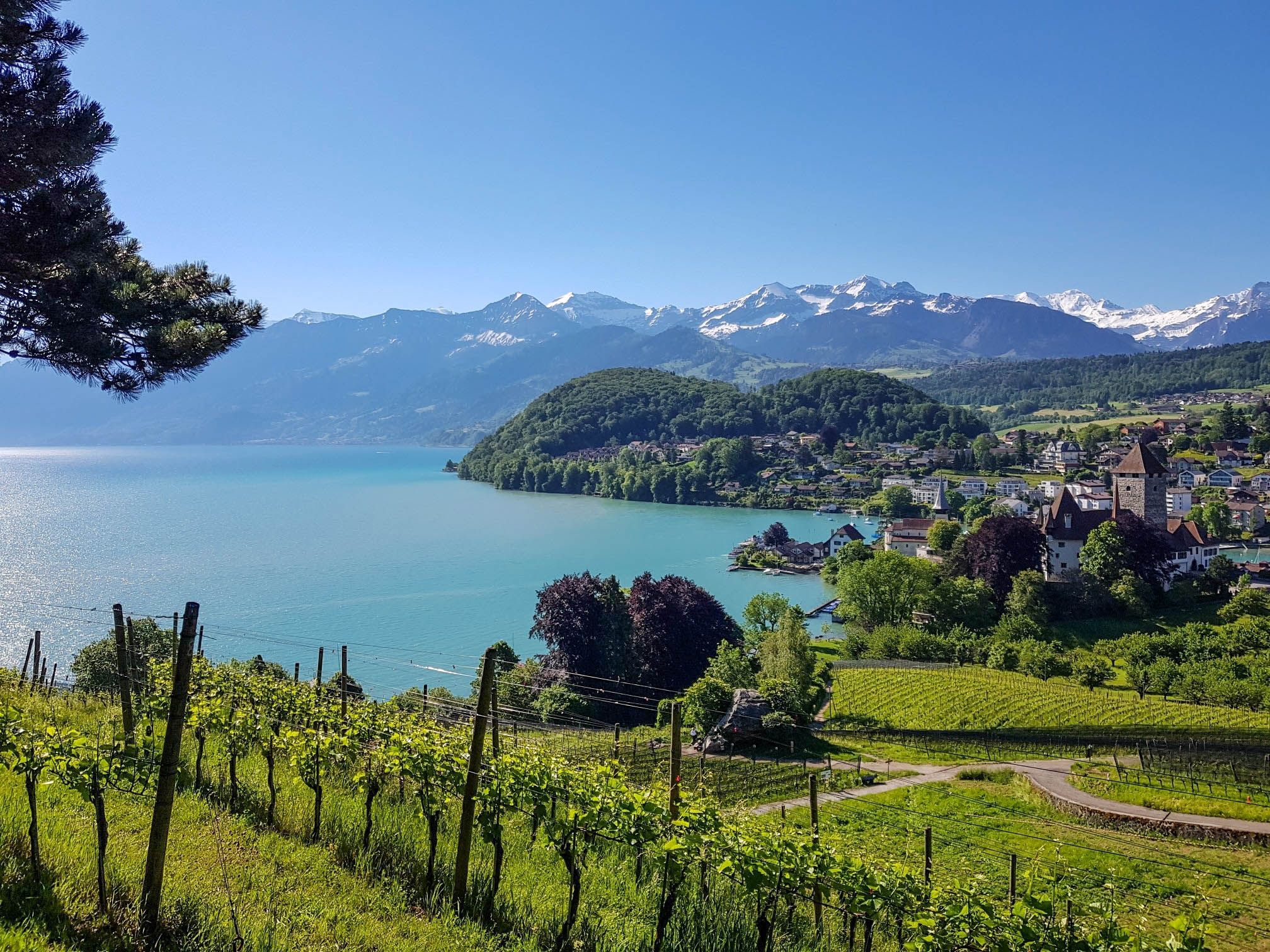
スイスのスーン湖を囲むパノラマ帯状トレイル - レイクビューがたまにならない
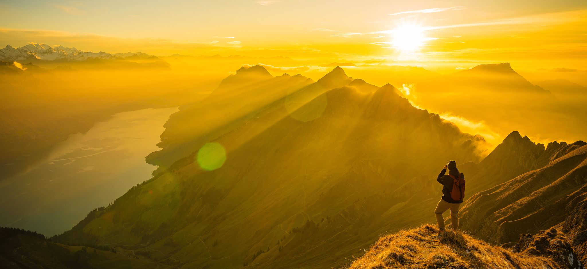
Mighty peaks and turquoise lakes – hiking in Interlaken in Switzerland
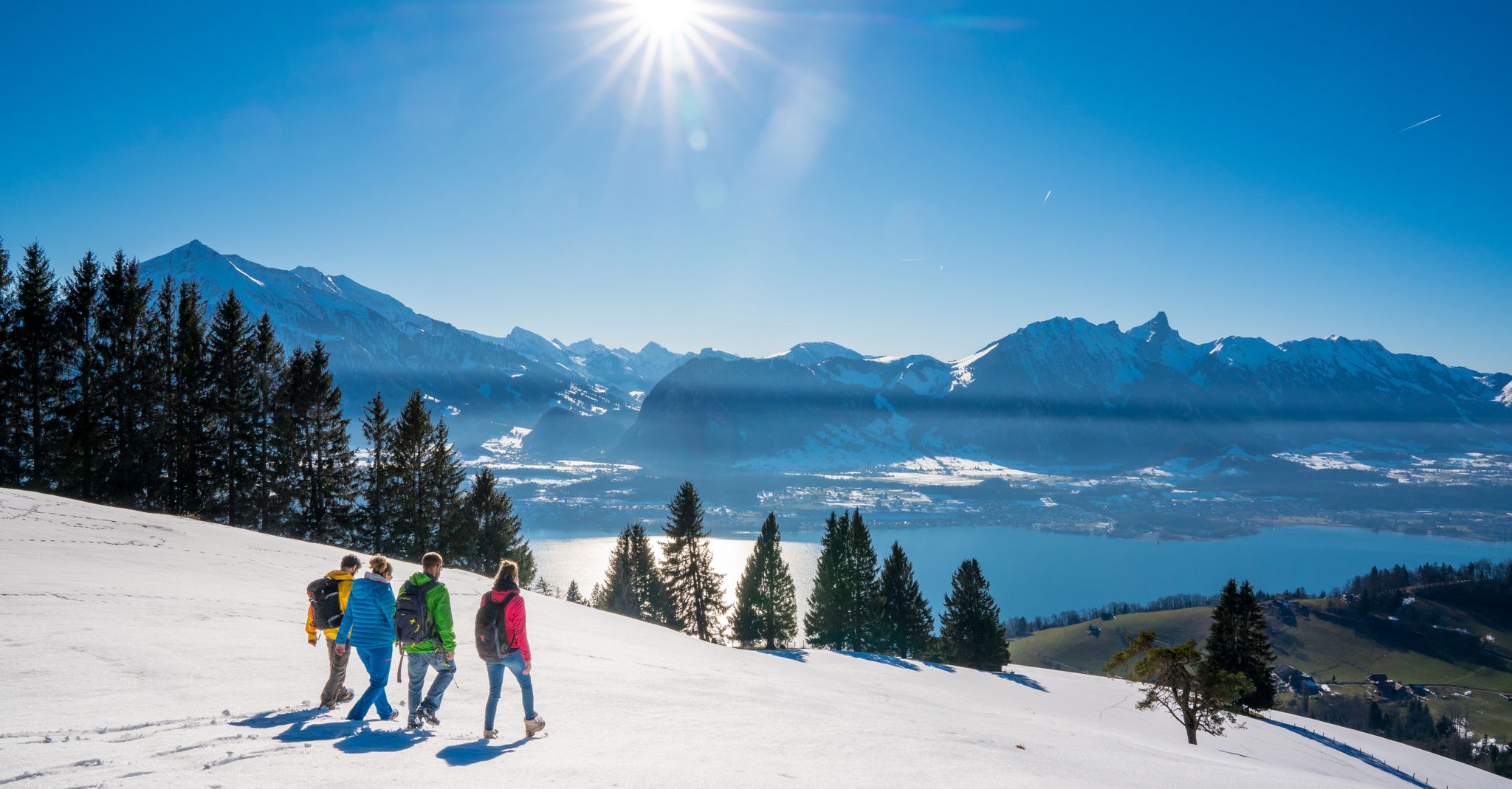
Let it snow! Winter hikes in the Bernese Oberland
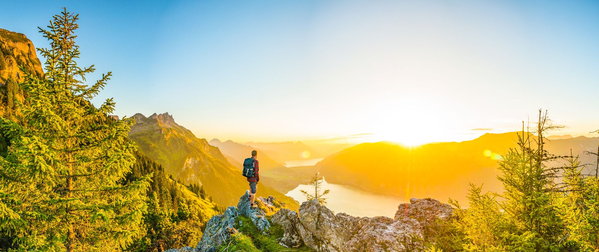
Magnificent Bernese Oberland – Hiking around Interlaken
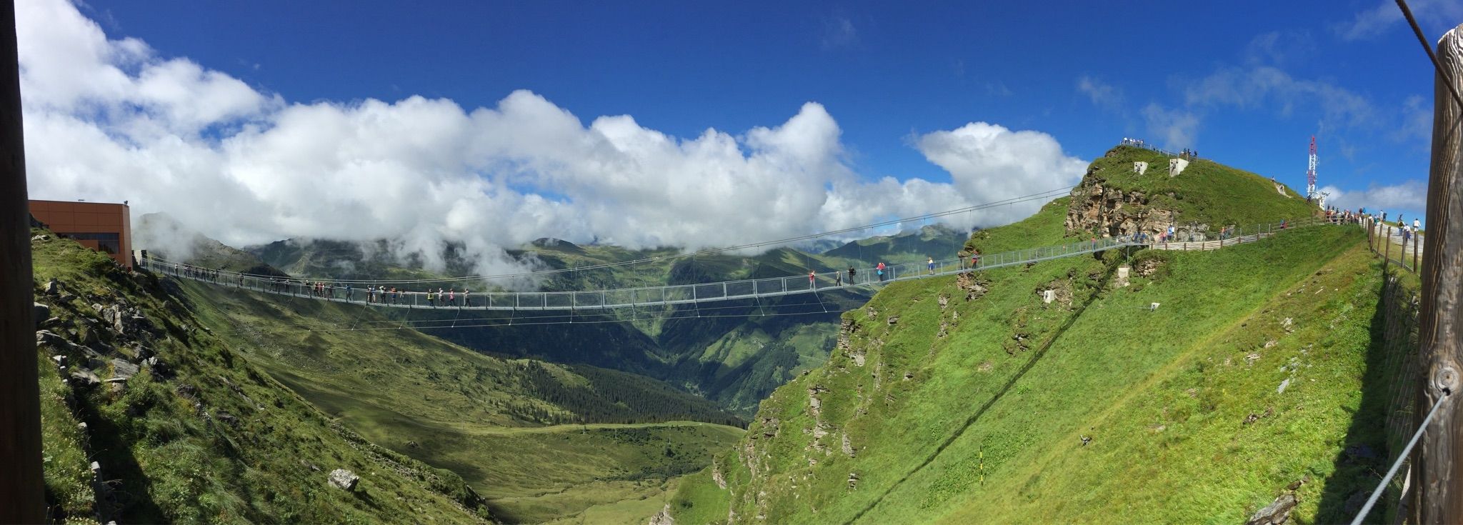
Spectacular suspension bridges
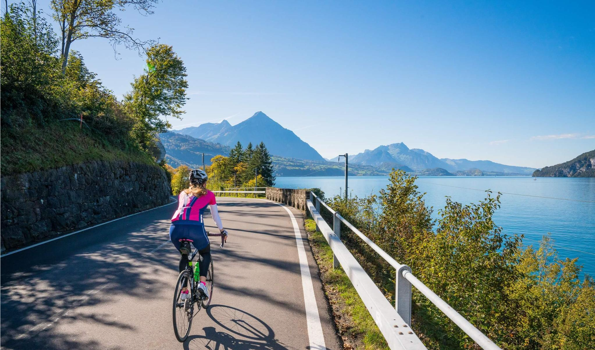
Auf zwei Rädern unterwegs im Berner Oberland
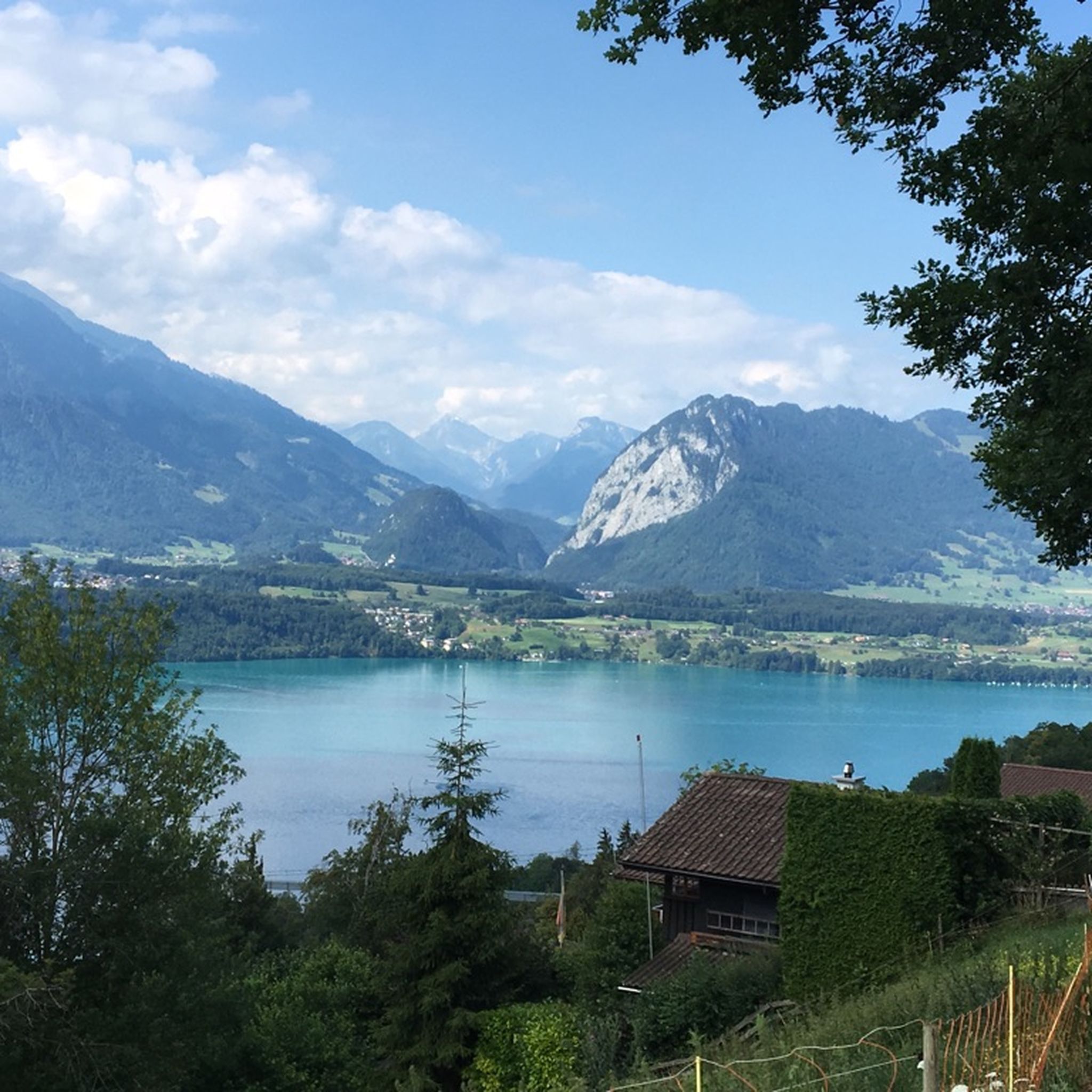
ジーグリスヴィルでのハイキング
ジーグリスヴィルでののグラベルライド
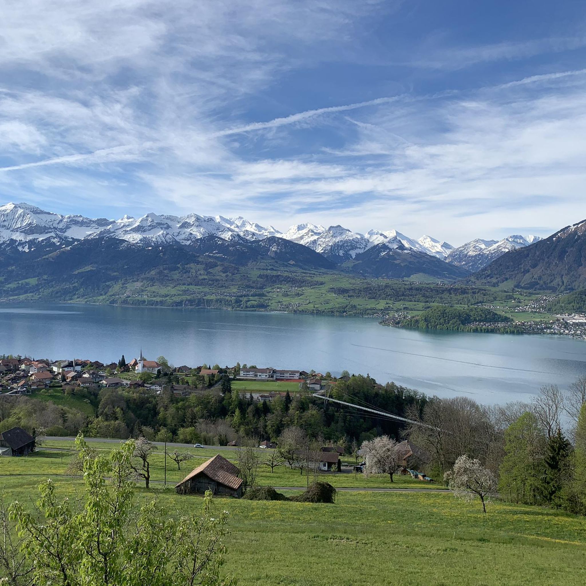
ジーグリスヴィルのMTBトレイル
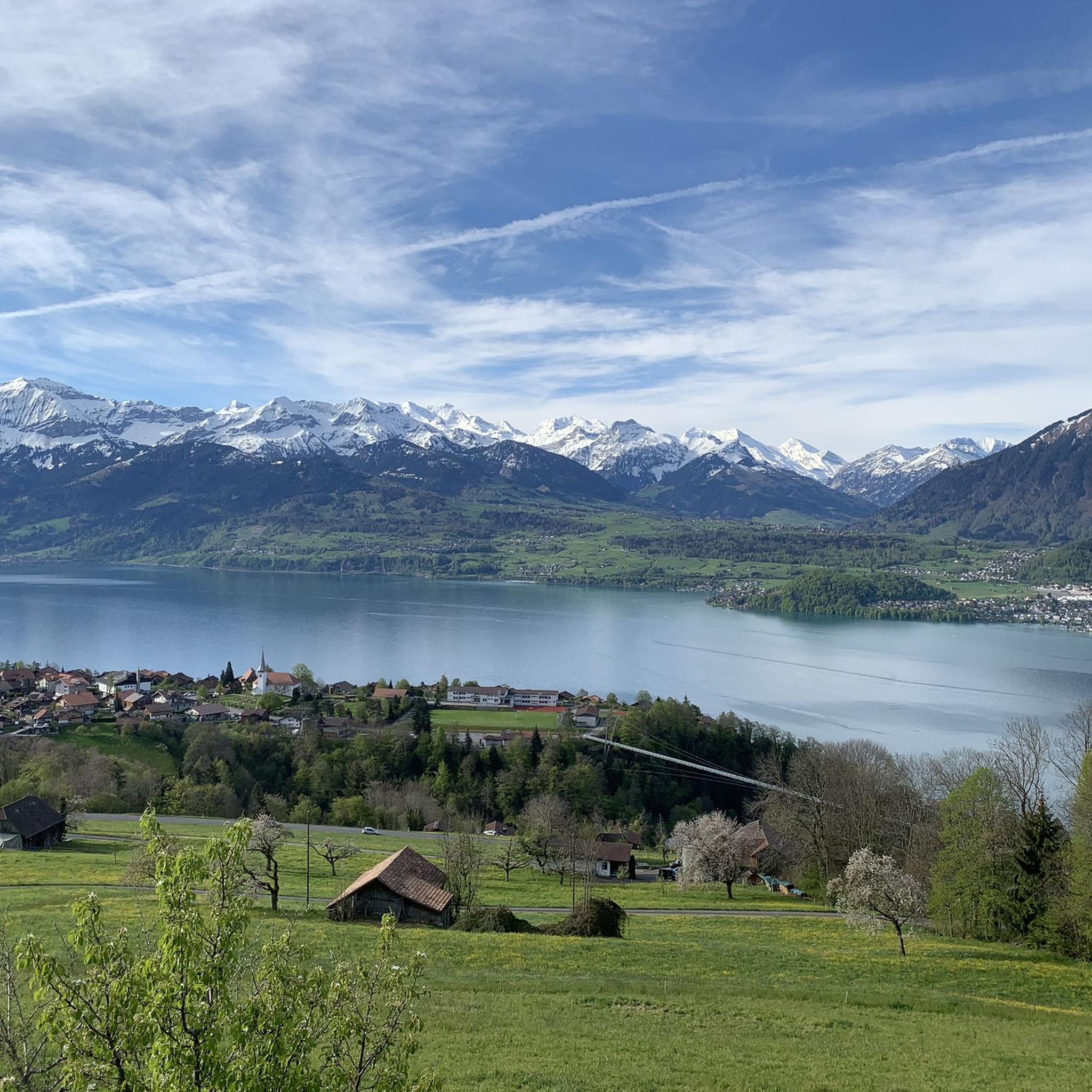
ジーグリスヴィルのロードバイクルート
ジーグリスヴィルでのの他の冒険


コミュニティからのヒント

ゲメンアルプホルンは、トゥーン湖の上方に位置する景色の良い頂で、ニーダーホルンチェーンの一部です。特徴的な草の山は標高2061メートルに達し、アイガー、メンヒ、ユングフラウ、そして深い青色のトゥーン湖の印象的なパノラマを提供します。ニーダーホルンから景色の良い稜線を通るハイキングは特に人気があります。夏にはしばしばアイベックスが周辺に草を食んでいるため、この地域は動物観察者にも高く評価されています。標高が高いにもかかわらず、ゲメンアルプホルンは技術的には比較的簡単にアクセスでき、楽しみのためのハイカーに最適です。
2
0
東側からの登頂は、露出した場所にはまだ雪が残っている可能性があるため、春には非常に困難になることがあります。
2
0
Wonderful vantage point. Can be reached on snowshoes from the Niederhorn mountain station in about an hour.
2
0
The signpost at the Burgfeldstand is impossible to miss
6
0
Magnificent panoramic point Highest peak of the so-called "Güggisgrat", which extends south of the Justistal over the Niederhorn to the Gemmenalphorn. Legend has it that this peak represents the ruins of a destroyed castle. The rocky outcrops that dominate the Justistal west of the peak give the impression of collapsed quarry stone walls. The peak is easy to reach thanks to the railway and the comfortable path.
8
0
The second highest and most conspicuous peak in the Niederhorn chain. Called Güggisgrat on the national map, the terrain rises gently from the south (Beatenberg) before falling abruptly into the Justistal towards the north. The winter tours offer wonderful views of Lake Thun and the Emmental.
7
0

komootモバイルアプリでインスピレーションを得よう


さらに探索
まだ探しているハイライトが見つかりませんか?他の地域のトップアトラクションのガイドを見てみましょう:
