グレムスドルフのおすすめランニングルート
4.6
(13)
299
ランナー
32
ランニング
グレムスドルフでランニングを楽しめば、このエリアをより深く知ることができます。ランニングに適した美しいルートが見つかるように、komootがグレムスドルフでのルートのコレクション全体を評価して選び抜いた、人気ランニングトレイルをご紹介します。ルートをクリックして詳細を表示し、他のユーザーがアップロードした役立つ情報や写真を閲覧しましょう。
最終更新日: 9月 30, 2026
4.0
(1)
68
ランナー
8.77km
00:56
50m
50m
中程度のジョギング. ある程度のフィットネスレベルが必要です。 全般的に舗装された状態です。あらゆるスキルレベルに適しています。
4.3
(3)
53
ランナー
5.41km
00:33
10m
10m
中程度のジョギング. ある程度のフィットネスレベルが必要です。 全般的に舗装された状態です。あらゆるスキルレベルに適しています。

10
ランナー
8.70km
00:56
80m
80m
中程度のジョギング. ある程度のフィットネスレベルが必要です。 全般的に舗装された状態です。あらゆるスキルレベルに適しています。
5.0
(1)
12
ランナー
5.06km
00:31
10m
10m
中程度のジョギング. ある程度のフィットネスレベルが必要です。 全般的に舗装された状態です。あらゆるスキルレベルに適しています。
4
ランナー
9.74km
01:02
70m
70m
中程度のジョギング. ある程度のフィットネスレベルが必要です。 全般的に舗装された状態です。あらゆるスキルレベルに適しています。
さらに多くのルートや他のユーザーのおすすめ情報を確認できます。
すでにアカウントをお持ちですか?
おすすめのツアーは他のkomootユーザーが実際に経験した何千ものアクティビティに基づいています。
無料アカウントで今日から始めよう
次の冒険が待っています。
コミュニティからのヒント

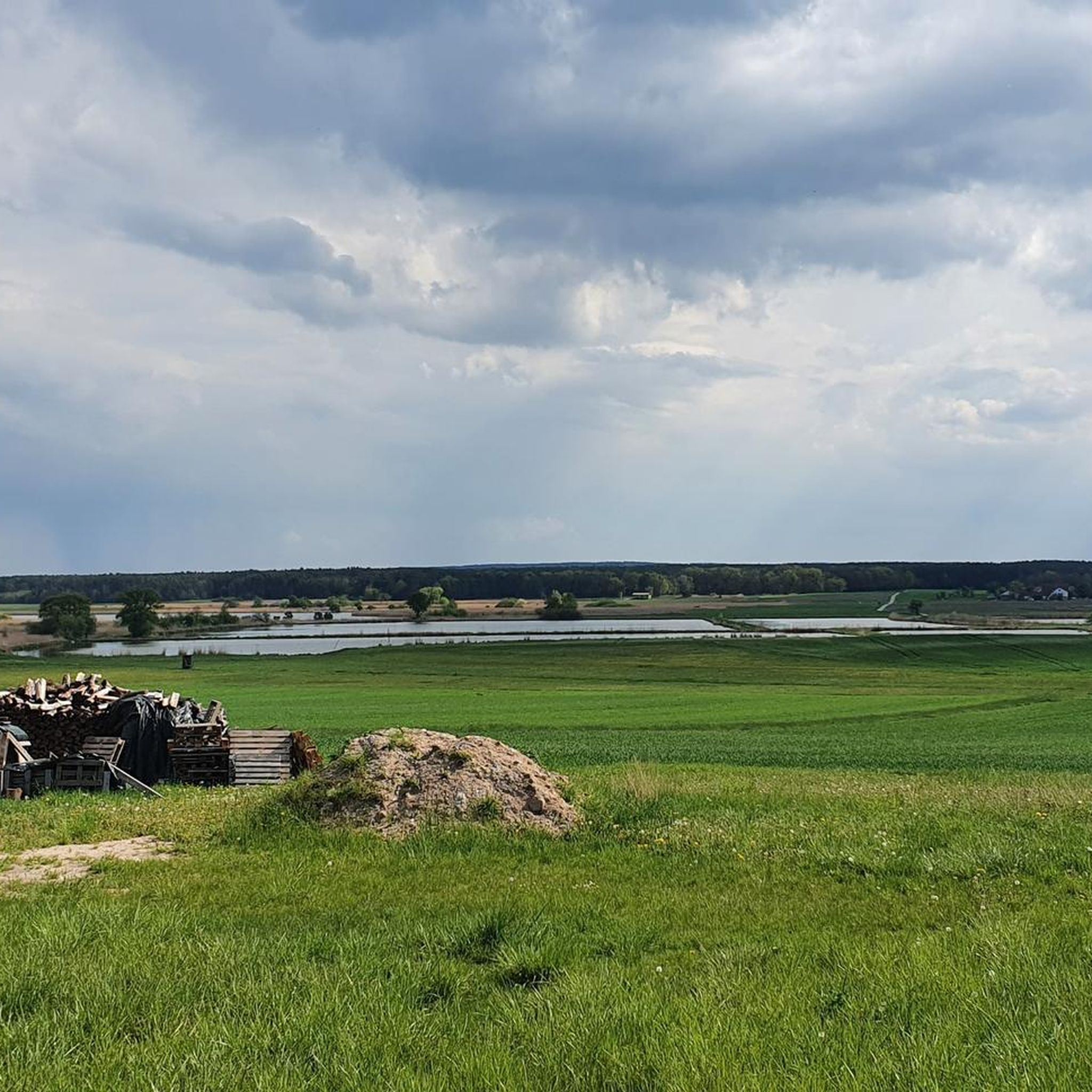
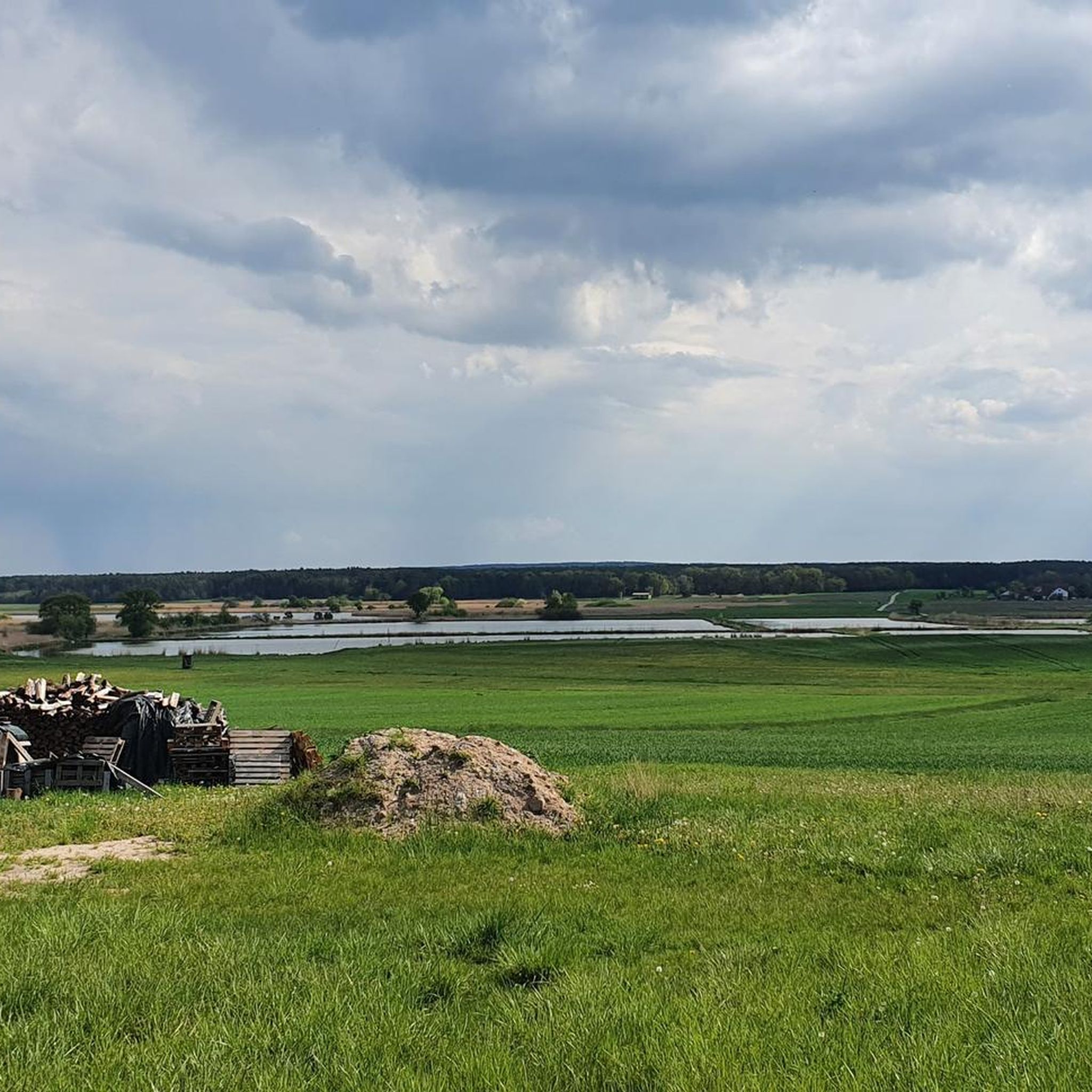
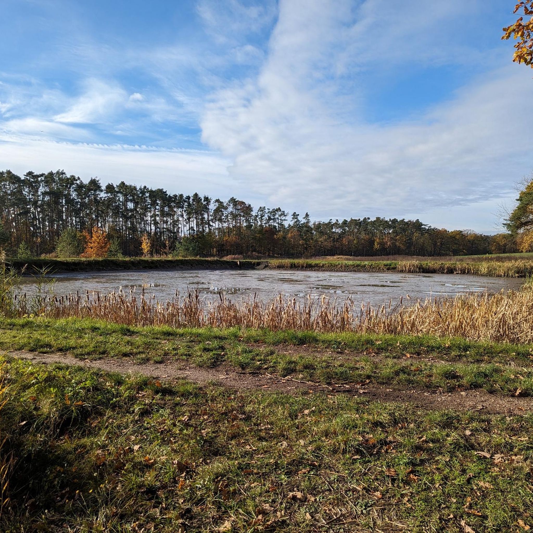
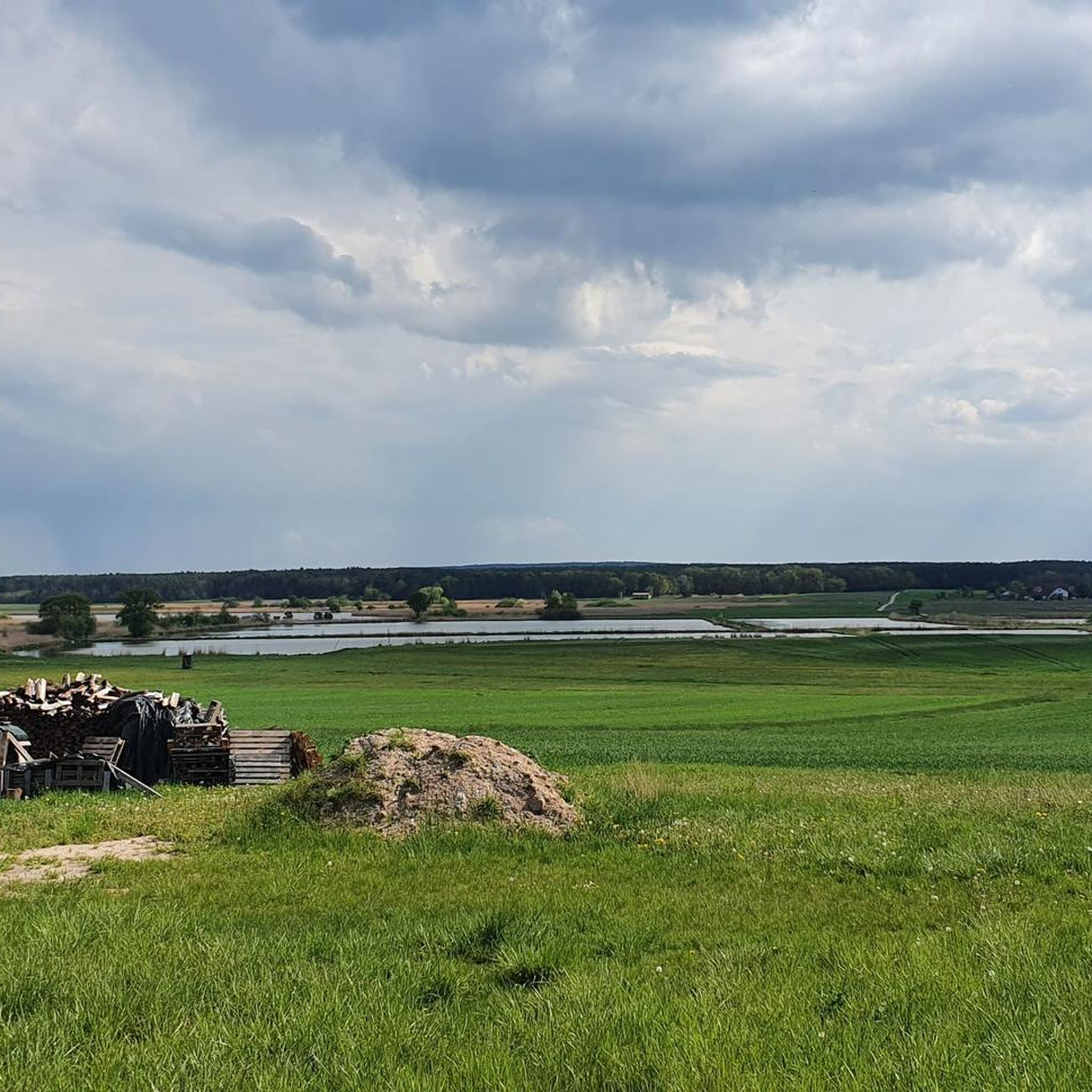
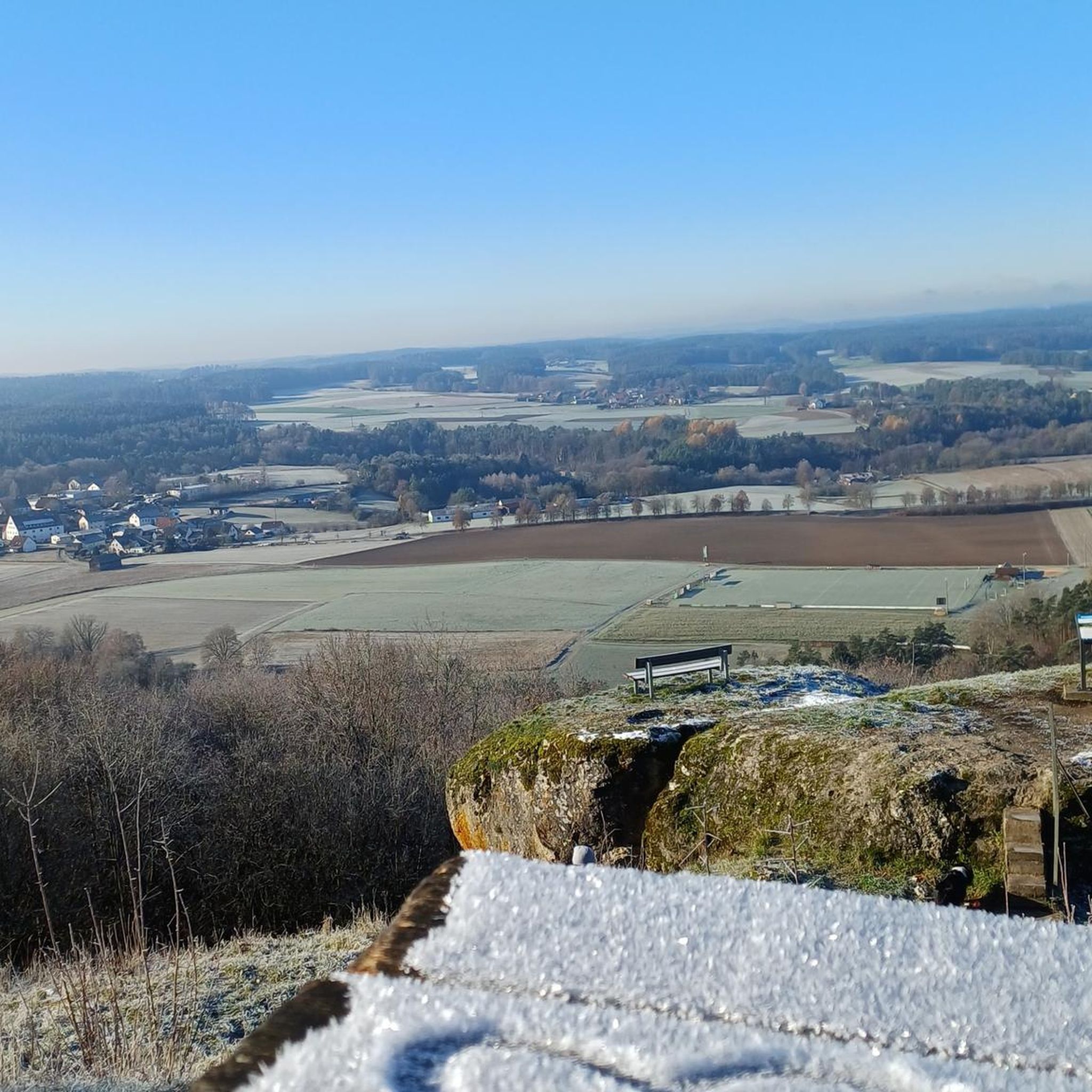
PoppenwindからHesselbergへの道のほぼ中間地点で、道は池の間をまっすぐ通ります。
0
0

一度は見ておくべきです
0
0

Hall building with gable roof, three-sided closure and facade tower with tent roof, around 1760, extension and tower around 1860
0
1

A sandstone bridge on the south side of the city of Höchstadt over the Aisch. Built in the 14th century on the site of a ford, the first documented mention was in 1391. A vaulted sandstone bridge with seven round arches, massive side parapets and drainage holes. The bridge is 110 m long, the width of the roadway is approx. 2.80 m to 3.50 m - the width of the bridge was designed for a team of oxen https://www.hoechstadt.de/erleben/tourism/sightseeing
5
0
The Aisch is an almost 83 km long left and southwestern tributary of the Regnitz in Middle and Upper Franconia. The etymology of the name as the clear one wins through the comparison with Lithuanian áiškus for clear.[4][5] In the 17th and 18th centuries, the body of water was also spelled "Aysch". In the past, it was wrongly assumed that the origin of the name Aisch (Carolingian Eisce and Eisge, in a document from 1129 Aisca[6]) meant rich in fish in its original connotation. Source: Wikipedia
4
0


グレムスドルフでのの人気観光スポット

komootモバイルアプリでインスピレーションを得よう


さらに探索
他の地域の最高のランニングトレイル & ルートを見てみましょう。
