ラントクワルトのおすすめツーリングルート
4.6
(608)
7,845
ライダー
115
ライド
ラントクワルトでサイクリングを楽しめば、グリソンのこのエリアをより深く知ることができます。あなたにぴったりのラントクワルトでのバイクライドが見つかるように、komootがサイクリングルートのコレクション全体を評価して選び抜いたルートをご紹介します。以下のルートをクリックして標高データや舗装状態の分析などの細かな情報を把握し、さらにkomootコミュニティのメンバーがアップロードした役立つ情報や写真も閲覧しましょう。
最終更新日: 8月 27, 2026
4.4
(57)
738
ライダー
43.3km
02:34
170m
170m
中程度の自転車ライド. ある程度のフィットネスレベルが必要です。 全般的に舗装された状態です。あらゆるスキルレベルに適しています。
4.5
(63)
524
ライダー
43.3km
02:59
470m
470m
難しい自転車ライド. 標準以上のフィットネスレベルが必要です。 全般的に舗装された状態です。あらゆるスキルレベルに適しています。

無料新規登録
4.5
(38)
538
ライダー
23.5km
01:26
90m
90m
初級者向けバイクライド. あらゆるフィットネスレベルに適しています。 全般的に舗装された状態です。あらゆるスキルレベルに適しています。
4.5
(31)
412
ライダー
48.0km
02:53
240m
240m
中程度の自転車ライド. ある程度のフィットネスレベルが必要です。 全般的に舗装された状態です。あらゆるスキルレベルに適しています。
4.5
(40)
347
ライダー
65.7km
04:54
970m
970m
難しい自転車ライド. 標準以上のフィットネスレベルが必要です。 全般的に舗装された状態です。あらゆるスキルレベルに適しています。
4.6
(5)
80
ライダー
28.9km
01:52
100m
100m
初級者向けバイクライド. あらゆるフィットネスレベルに適しています。 全般的に舗装された状態です。あらゆるスキルレベルに適しています。
4.7
(29)
318
ライダー
47.9km
03:39
1,170m
1,170m
難しい自転車ライド. 標準以上のフィットネスレベルが必要です。 全般的に舗装された状態です。あらゆるスキルレベルに適しています。
4.9
(36)
290
ライダー
74.9km
04:33
600m
600m
難しい自転車ライド. 標準以上のフィットネスレベルが必要です。 全般的に舗装された状態です。あらゆるスキルレベルに適しています。
4.7
(19)
238
ライダー
45.5km
04:10
1,400m
1,400m
難しい自転車ライド. 標準以上のフィットネスレベルが必要です。 全般的に舗装された状態です。あらゆるスキルレベルに適しています。
4.4
(11)
164
ライダー
28.7km
01:56
320m
320m
中程度の自転車ライド. ある程度のフィットネスレベルが必要です。 全般的に舗装された状態です。あらゆるスキルレベルに適しています。
さらに多くのルートや他のユーザーのおすすめ情報を確認できます。
無料新規登録
すでにアカウントをお持ちですか?
おすすめのツアーは他のkomootユーザーが実際に経験した何千ものアクティビティに基づいています。
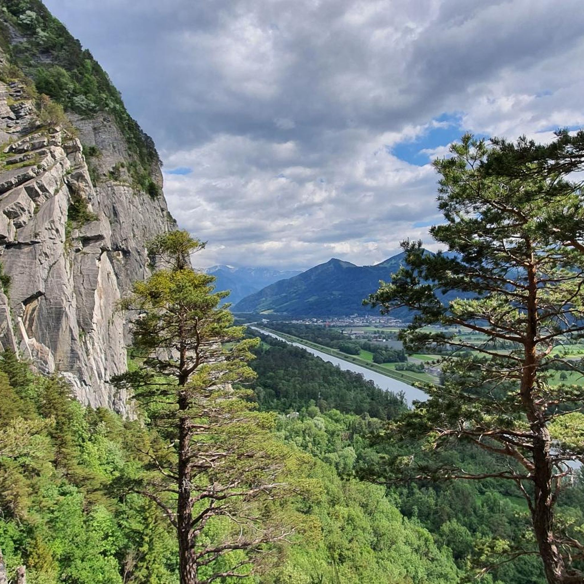
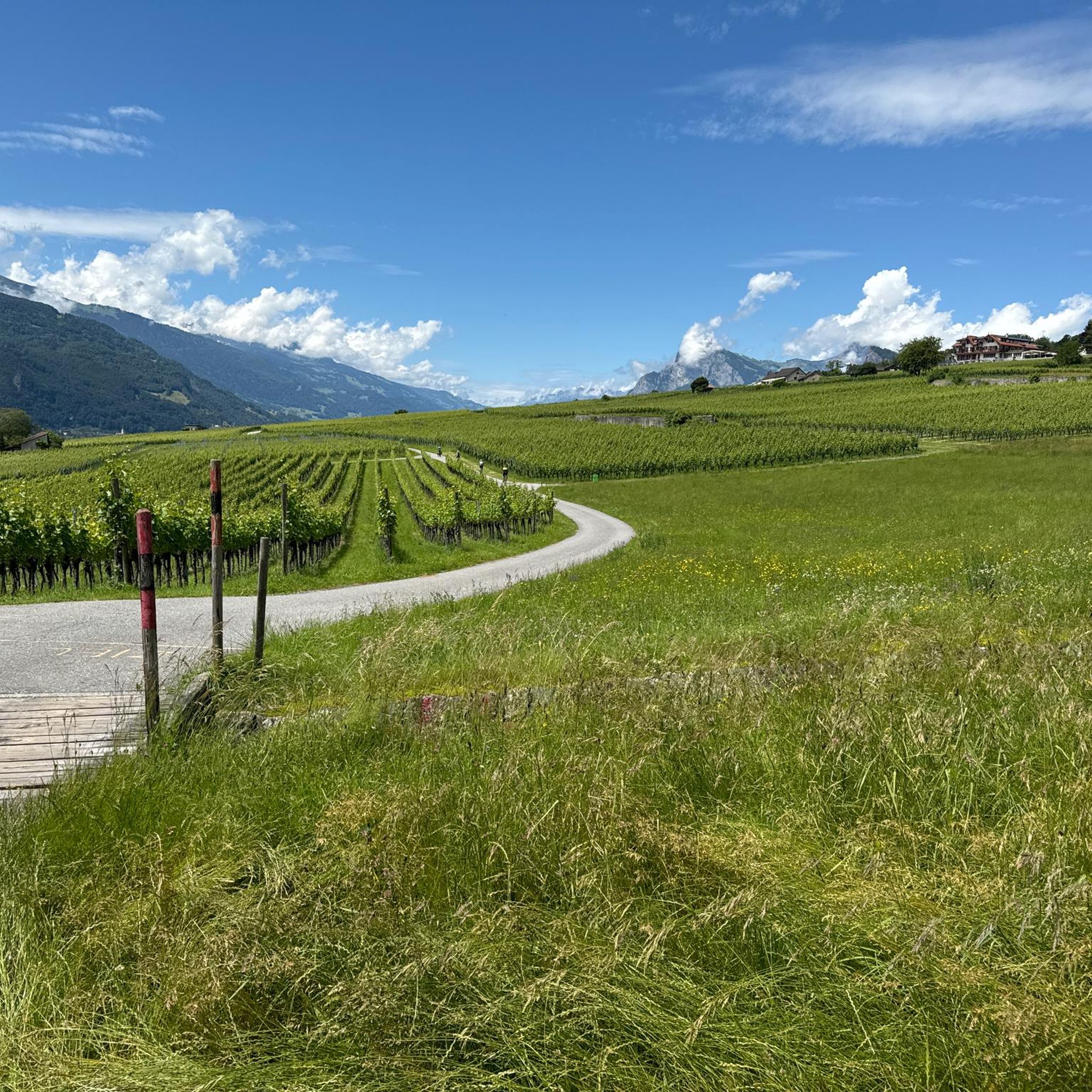
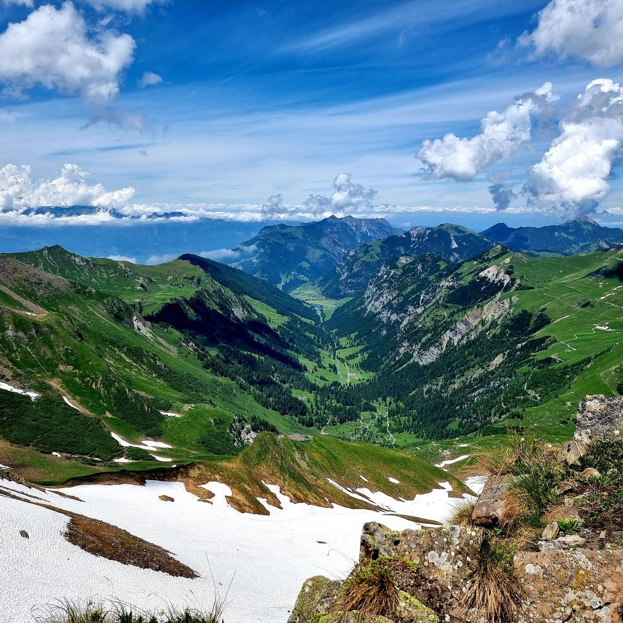
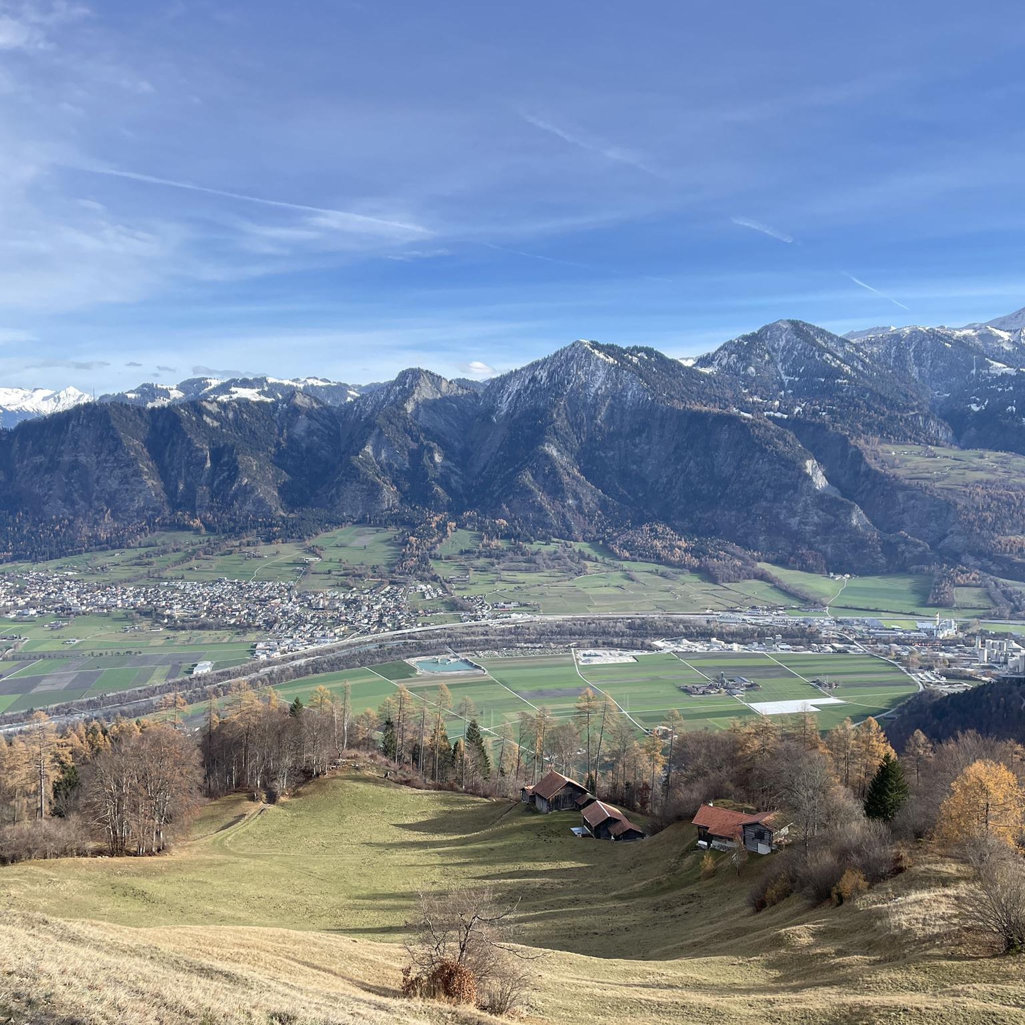
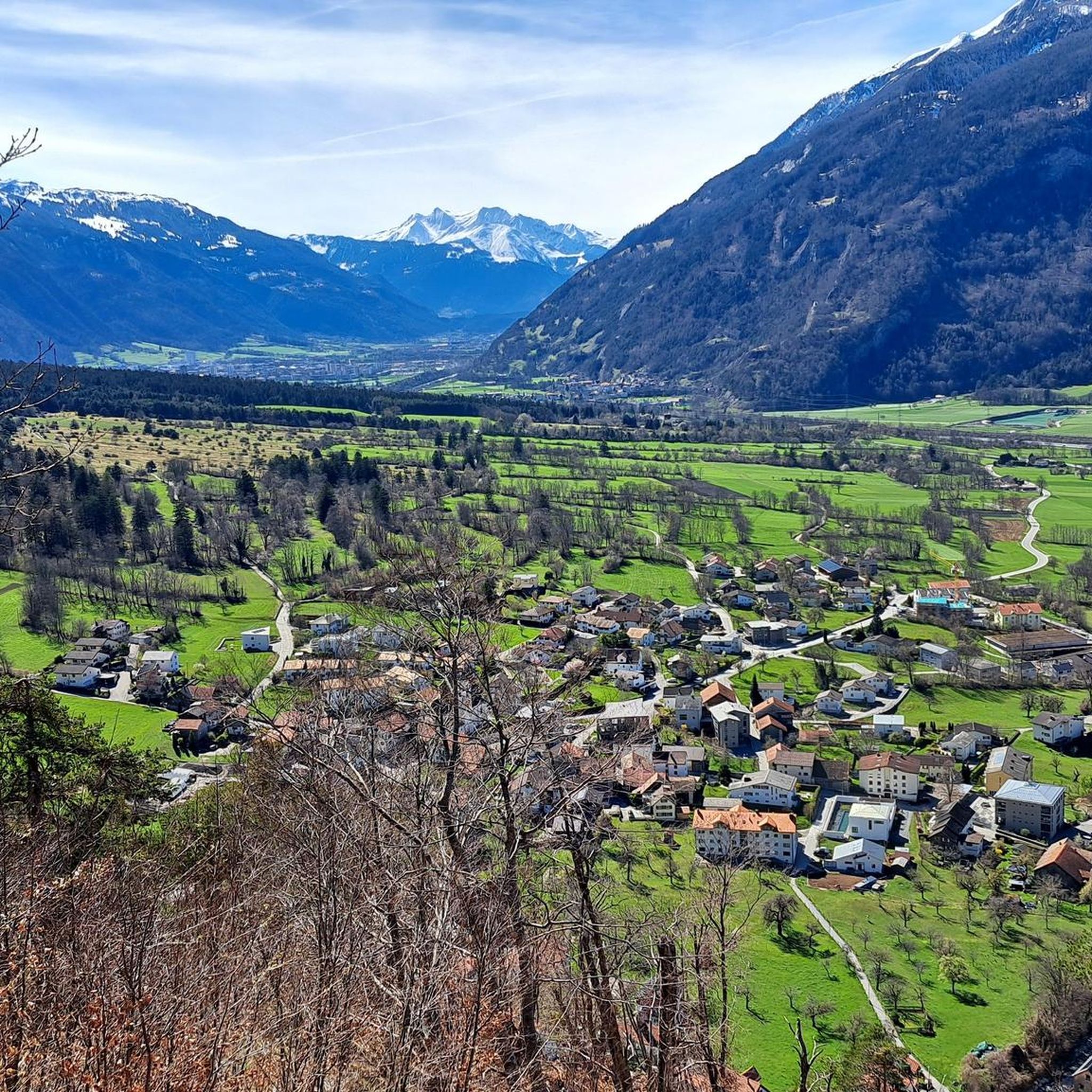
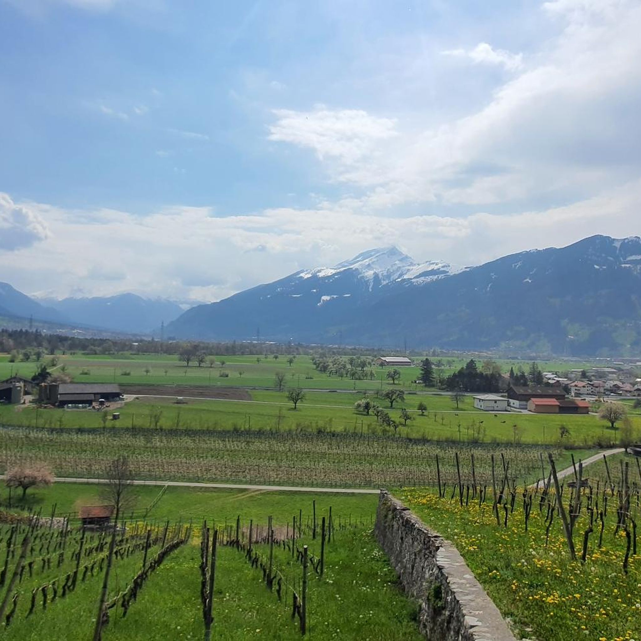
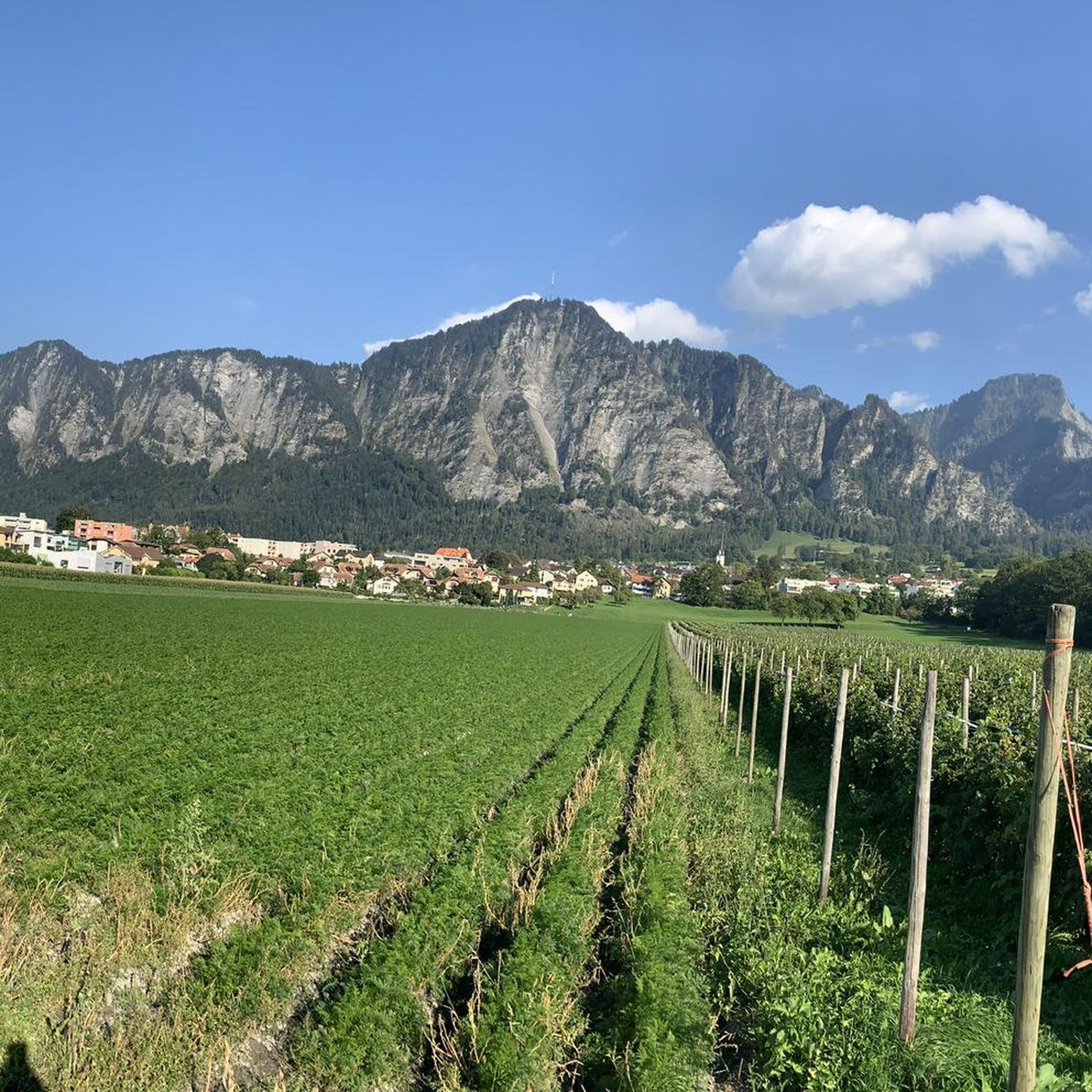
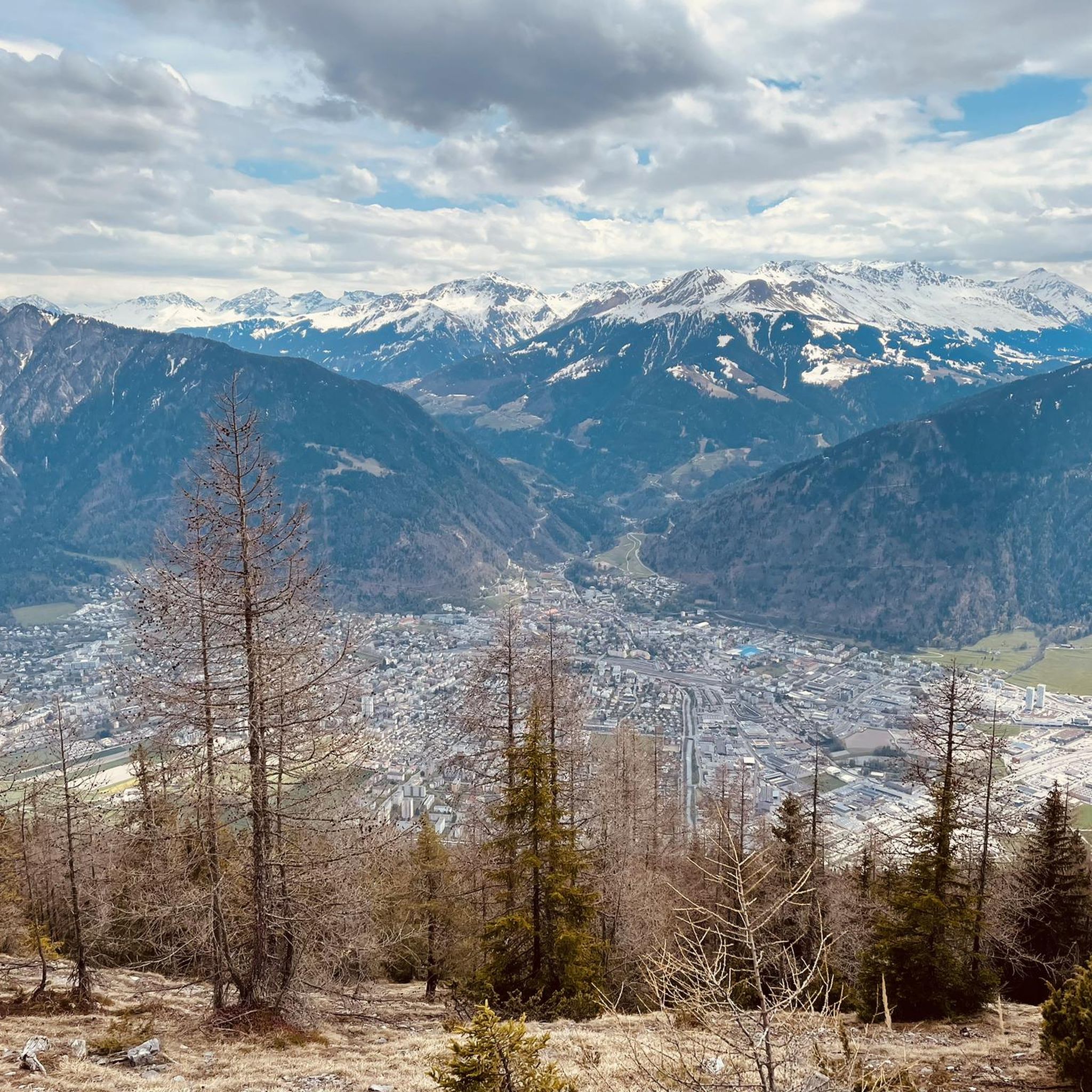
ラントクワルトでのの他の冒険


コミュニティからのヒント


We expected this to be a covered wooden bridge and were looking forward to sheltering from the rain in it, but alas, this modern wooden bridge does NOT provide cover from rain.
0
0
Even in the pouring rain, this area is beautiful!
0
0

Traffic-free road from here to Bad Ragaz, great cycling route
0
0

There's no car traffic on this road. There's still an incline.
0
0

A place of power in a special class
0
0

Bündner Herrschaft Cycle Route Pleasure Tour Directions After leaving the e-bike station in Bad Ragaz, the route leads to the Rhine. On the other side of the Rhine, you cycle along the river to Landquart. The route then climbs through the villages of Malans and Jenins to the highest point towards Heididorf. From here, the route descends through the historic towns of Maienfeld and Fläsch, as well as the Reggberge Mountains, until you cross the Rhine again. After a refreshment stop at the Kuppelwieser farm shop, you cycle along the Rhine back to Bad Ragaz. Text / Source: Graubünden Holidays, Alexanderstrasse 24, Chur https://www.graubuenden.ch/de/touren/e-bike-genuss-tour-buendner-herrschaft
15
0
Landquart Station since July 1, 1858 Landquart Station is a connecting station in the Swiss canton of Graubünden on the SBB Sargans–Chur line and the narrow-gauge lines of the Rhaetian Railway to Davos and Chur(–Thusis). It is now located in the municipality of Landquart. Landquart Station opened on July 1, 1858, as part of the Chur–Rheineck line. It experienced a change of ownership during the construction of the line, as the Südostbahn, which had begun construction of the line, became the property of the United Swiss Railways (VSB) on May 1, 1858. At that time, the station was located almost in an open field, at the northwestern end of the municipality of Igis, but far outside the main settlement of Igis and significantly closer to the center of St. Antoni (Mastrils), at the mouth of the Landquart River, a few hundred meters south of the old Rohan ski jump. Only gradually did a few factories settle nearby, exploiting the river's hydropower. Since 1859, with the opening of the Sargans–Rapperswil–Rüti (ZH) line, trains to Zurich were possible, although they had to take a detour through the Glatt Valley and negotiate a hairpin bend in Rapperswil. In 1875, the Left Bank Lake Zurich Railway (Laufufrige Zürichseebahn) began operation, making direct trains to Zurich possible. The station became a transfer station in 1889, when the Landquart–Davos AG (LD) narrow-gauge railway opened its line to Davos. This company became the Rhaetian Railway in 1895, and Landquart station remains the starting point for the kilometering of all lines in the company's so-called main network. Because it was a narrow-gauge railway, freight had to be reloaded and trains had to be changed in Landquart. At the same time, a workshop was built here at the starting point of the LD, which later became the main workshop of the Rhaetian Railway. Chur has also been accessible by narrow-gauge railway since 1896. At the beginning of the last century, a narrow-gauge railway project was developed between Schaan and Landquart. Since 1902, the station has belonged to the Swiss Federal Railways. It developed into an important freight hub, where freight is transshipped between the RhB and SBB. Text / Source: wikipedia.org https://de.wikipedia.org/wiki/Bahnhof_Landquart
17
0
ラントクワルトでのの人気観光スポット

komootモバイルアプリでインスピレーションを得よう


探していたものは見つかりませんでしたか?
ラントクワルトの下にある他のサイクリングルートをチェックして、目的地で完璧なルートを見つけましょう。
