インボーデンのおすすめツーリングルート
4.6
(613)
7,054
ライダー
91
ライド
インボーデンでサイクリングを楽しめば、グリソンのこのエリアをより深く知ることができます。あなたにぴったりのインボーデンでのバイクライドが見つかるように、komootがサイクリングルートのコレクション全体を評価して選び抜いたルートをご紹介します。以下のルートをクリックして標高データや舗装状態の分析などの細かな情報を把握し、さらにkomootコミュニティのメンバーがアップロードした役立つ情報や写真も閲覧しましょう。
最終更新日: 10月 11, 2026
4.8
(72)
539
ライダー
93.7km
06:20
1,560m
1,560m
難しい自転車ライド. 標準以上のフィットネスレベルが必要です。 全般的に舗装された状態です。あらゆるスキルレベルに適しています。
4.6
(93)
624
ライダー
49.3km
03:40
600m
600m
難しい自転車ライド. 標準以上のフィットネスレベルが必要です。 全般的に舗装された状態です。あらゆるスキルレベルに適しています。

4.4
(46)
580
ライダー
30.8km
01:54
270m
270m
中程度の自転車ライド. ある程度のフィットネスレベルが必要です。 全般的に舗装された状態です。あらゆるスキルレベルに適しています。
4.8
(60)
433
ライダー
45.8km
03:15
910m
910m
難しい自転車ライド. 標準以上のフィットネスレベルが必要です。 全般的に舗装された状態です。あらゆるスキルレベルに適しています。
4.7
(20)
237
ライダー
90.0km
05:12
380m
380m
難しい自転車ライド. 標準以上のフィットネスレベルが必要です。 全般的に舗装された状態です。あらゆるスキルレベルに適しています。
4.8
(10)
244
ライダー
40.7km
04:12
1,650m
1,650m
難しい自転車ライド. 標準以上のフィットネスレベルが必要です。 全般的に舗装された状態です。あらゆるスキルレベルに適しています。
5.0
(14)
226
ライダー
41.5km
04:03
1,570m
1,570m
難しい自転車ライド. 標準以上のフィットネスレベルが必要です。 全般的に舗装された状態です。あらゆるスキルレベルに適しています。
4.2
(6)
157
ライダー
22.7km
02:04
570m
570m
難しい自転車ライド. 標準以上のフィットネスレベルが必要です。 全般的に舗装された状態です。あらゆるスキルレベルに適しています。
4.7
(129)
743
ライダー
103km
06:51
1,590m
1,590m
難しい自転車ライド. 標準以上のフィットネスレベルが必要です。 全般的に舗装された状態です。あらゆるスキルレベルに適しています。
4.8
(4)
126
ライダー
31.6km
02:33
620m
620m
難しい自転車ライド. 標準以上のフィットネスレベルが必要です。 全般的に舗装された状態です。あらゆるスキルレベルに適しています。
さらに多くのルートや他のユーザーのおすすめ情報を確認できます。
すでにアカウントをお持ちですか?
おすすめのツアーは他のkomootユーザーが実際に経験した何千ものアクティビティに基づいています。
インボーデンでのの他の冒険


コミュニティからのヒント


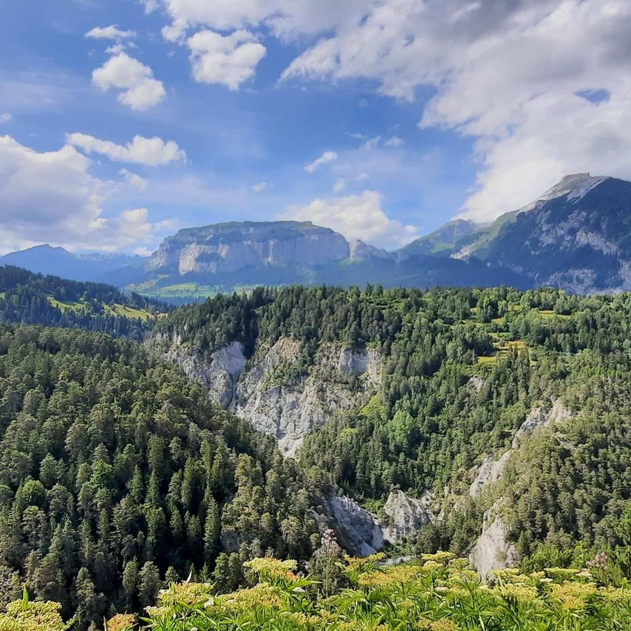
レジッツァーシュピッツとエルホルンへの眺め。
2
0

easy to drive and scenically spectacular
0
0

A place of power in a special class
0
0

Impressive landscape with good cycle paths
0
0

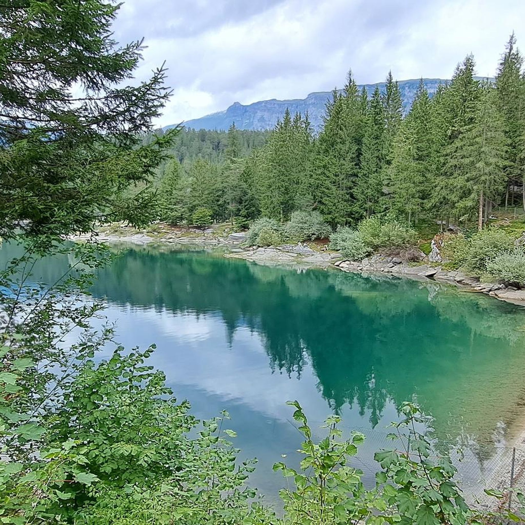
A reservoir in the Swiss canton of Graubünden, nestled in the impressive mountain landscape of the Viamala and Rheinwald regions. It stretches over a length of approximately two kilometers.
1
0

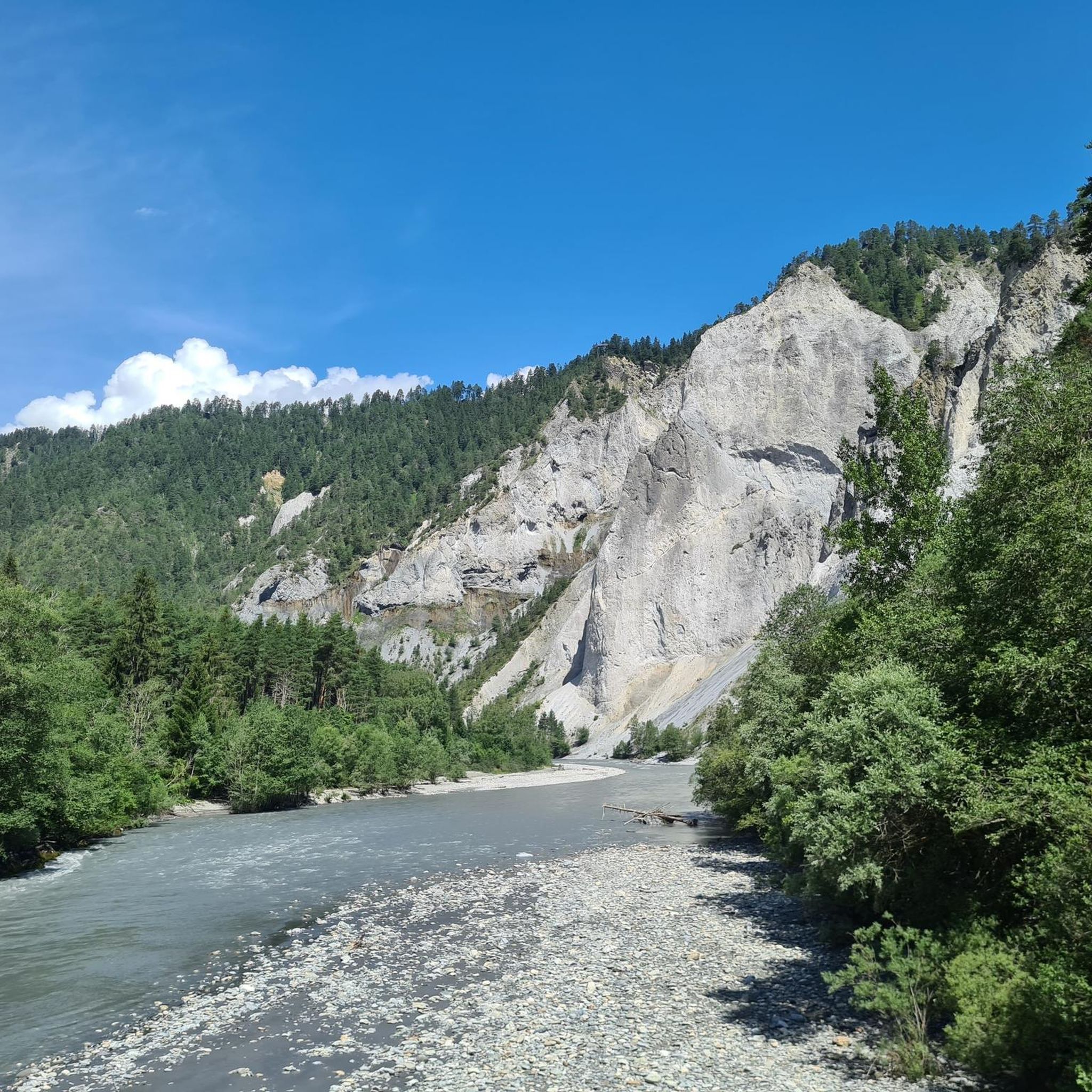
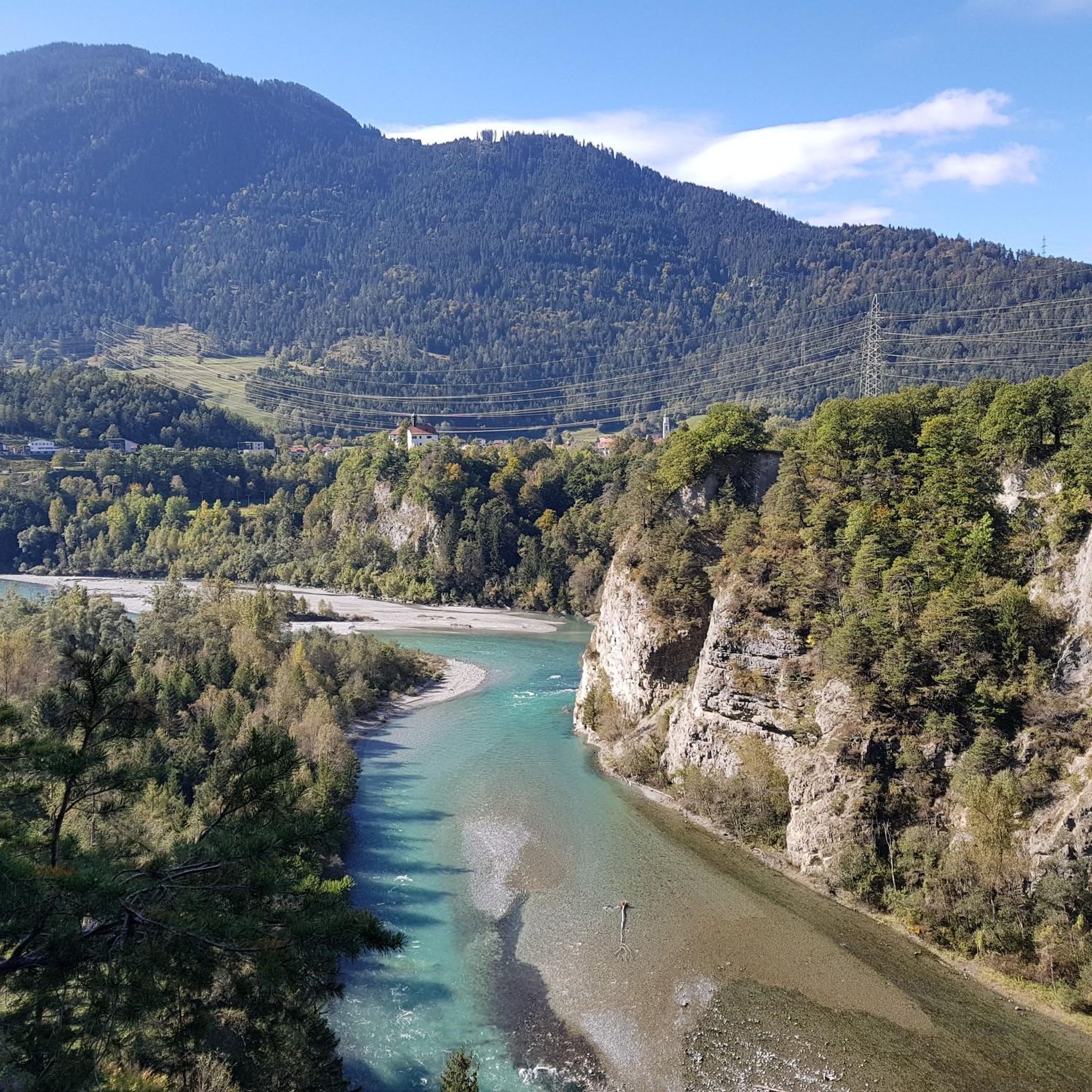
Ruinaulta Rhine Gorge The Ruinaulta, or Rhine Gorge, is a gorge of the Vorderrhein River, up to 400 meters deep and approximately 13 kilometers long, between Ilanz and the mouth of the Hinterrhein River near Reichenau in the canton of Graubünden in Switzerland. The Romansh name 'Ruinaulta' is composed of the two words ruina (scree slope, quarry) and aulta (high). The Ruinaulta was formed after the Flims Landslide almost 10,000 years ago. At that time, over 10 billion cubic meters of rock broke off between the Flimserstein and Piz Grisch, burying the Vorderrhein Valley between the present-day villages of Castrisch and Reichenau under a mass of debris several hundred meters thick. Because the Vorderrhein River could no longer drain away, a lake was dammed over a length of approximately 25 kilometers. Over time, the river cut deep into the landslide, and the resulting lake drained away completely. What remained was the Ruinaulta, with its steep limestone scree cliffs in impressive erosion formations. Text / Source: Wikipedia https://de.wikipedia.org/wiki/Ruinaulta
16
0

komootモバイルアプリでインスピレーションを得よう


探していたものは見つかりませんでしたか?
インボーデンの下にある他のサイクリングルートをチェックして、目的地で完璧なルートを見つけましょう。
