トリンミスのおすすめツーリングルート
4.5
(782)
10,678
ライダー
17
ライド
トリンミス周辺でのおすすめのサイクリングルートを参考にして、このエリアを最大限に楽しみましょう。ここでご紹介するのは、トリンミス周辺の人気バイクライドです。ぜひ、自分に合ったルートを見つけてください。
最終更新日: 10月 12, 2026
4.9
(36)
290
ライダー
74.9km
04:33
600m
600m
難しい自転車ライド. 標準以上のフィットネスレベルが必要です。 全般的に舗装された状態です。あらゆるスキルレベルに適しています。
4.5
(14)
157
ライダー
34.2km
02:37
770m
770m
難しい自転車ライド. 標準以上のフィットネスレベルが必要です。 全般的に舗装された状態です。あらゆるスキルレベルに適しています。

5.0
(5)
113
ライダー
79.6km
05:52
1,730m
1,730m
難しい自転車ライド. 標準以上のフィットネスレベルが必要です。 全般的に舗装された状態です。あらゆるスキルレベルに適しています。
5.0
(2)
79
ライダー
48.5km
03:42
1,200m
1,200m
難しい自転車ライド. 標準以上のフィットネスレベルが必要です。 全般的に舗装された状態です。あらゆるスキルレベルに適しています。
4.9
(8)
46
ライダー
52.3km
03:21
440m
440m
難しい自転車ライド. ある程度のフィットネスレベルが必要です。 ツアーの一部で自転車を押して歩く必要があるかもしれません。
さらに多くのルートや他のユーザーのおすすめ情報を確認できます。
すでにアカウントをお持ちですか?
おすすめのツアーは他のkomootユーザーが実際に経験した何千ものアクティビティに基づいています。
無料アカウントで今日から始めよう
次の冒険が待っています。
コミュニティからのヒント


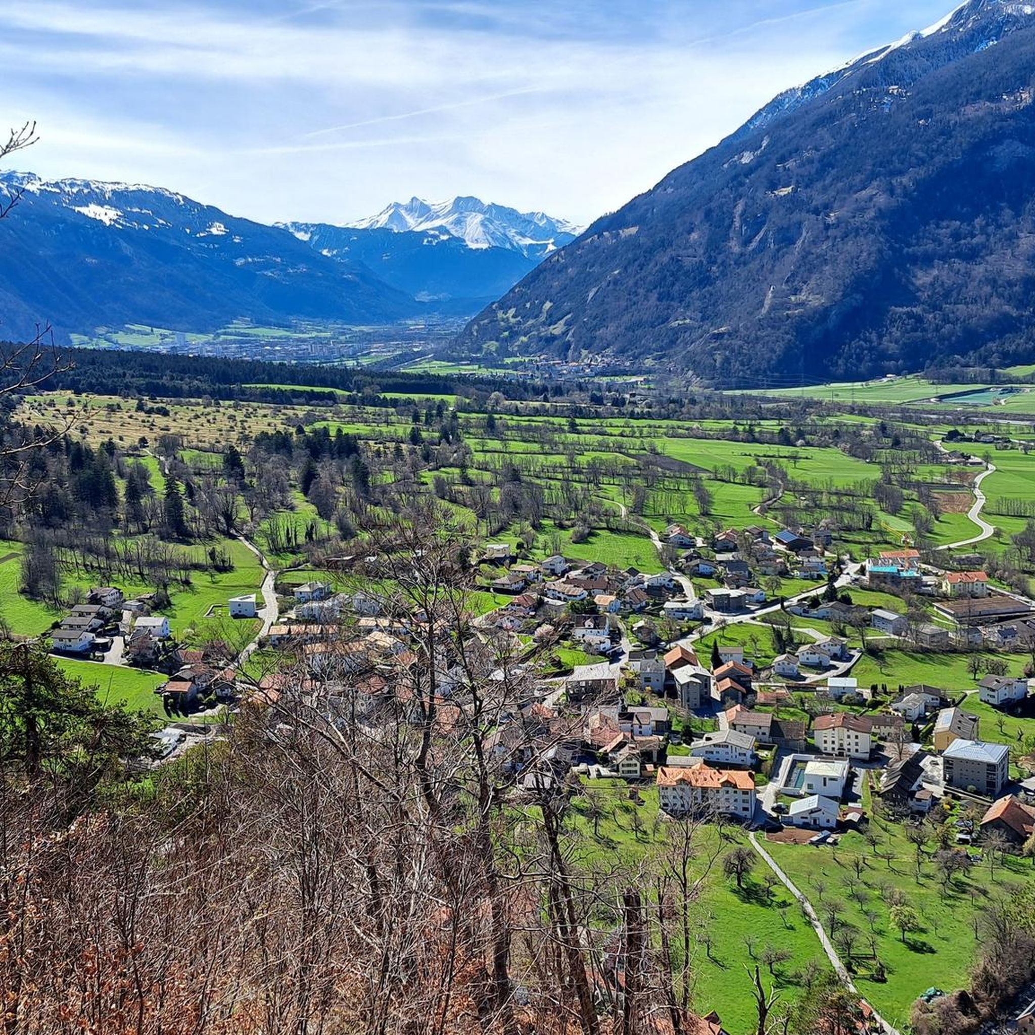
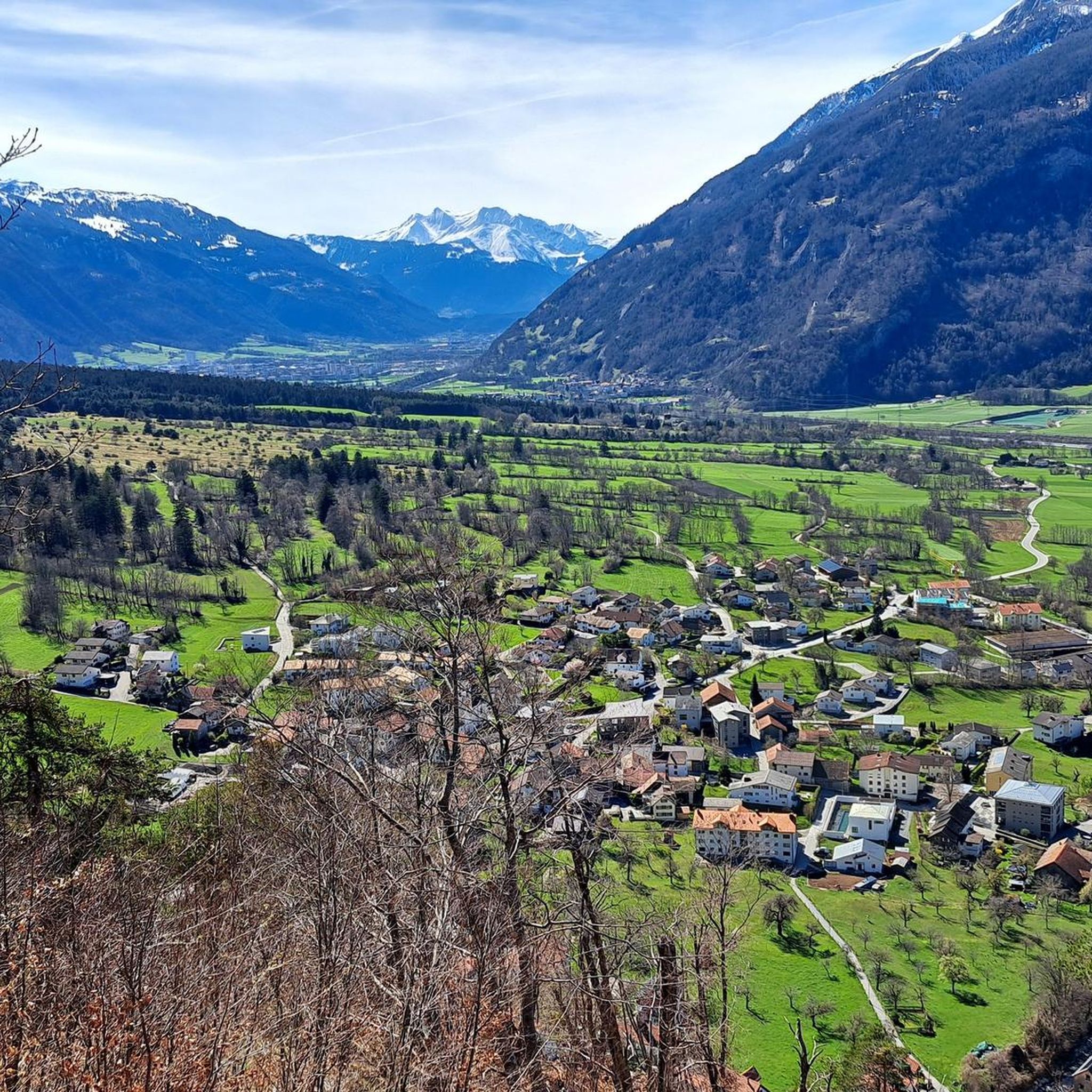
レジッツァーシュピッツとエルホルンへの眺め。
2
0

A place of power in a special class
0
0

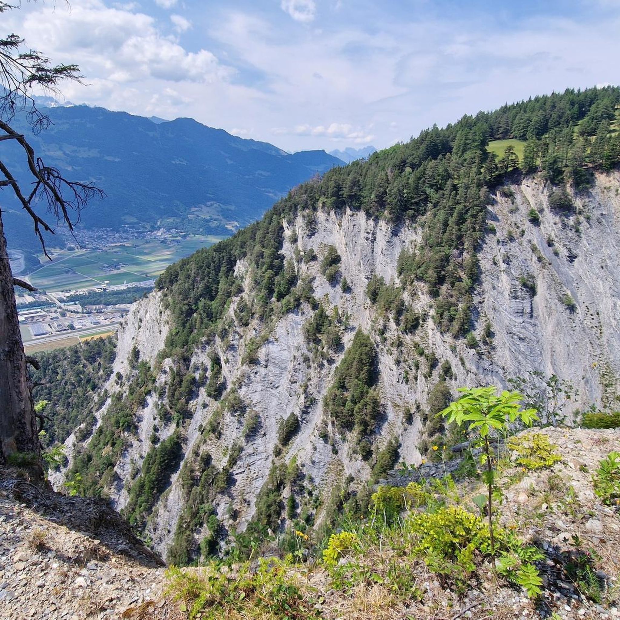
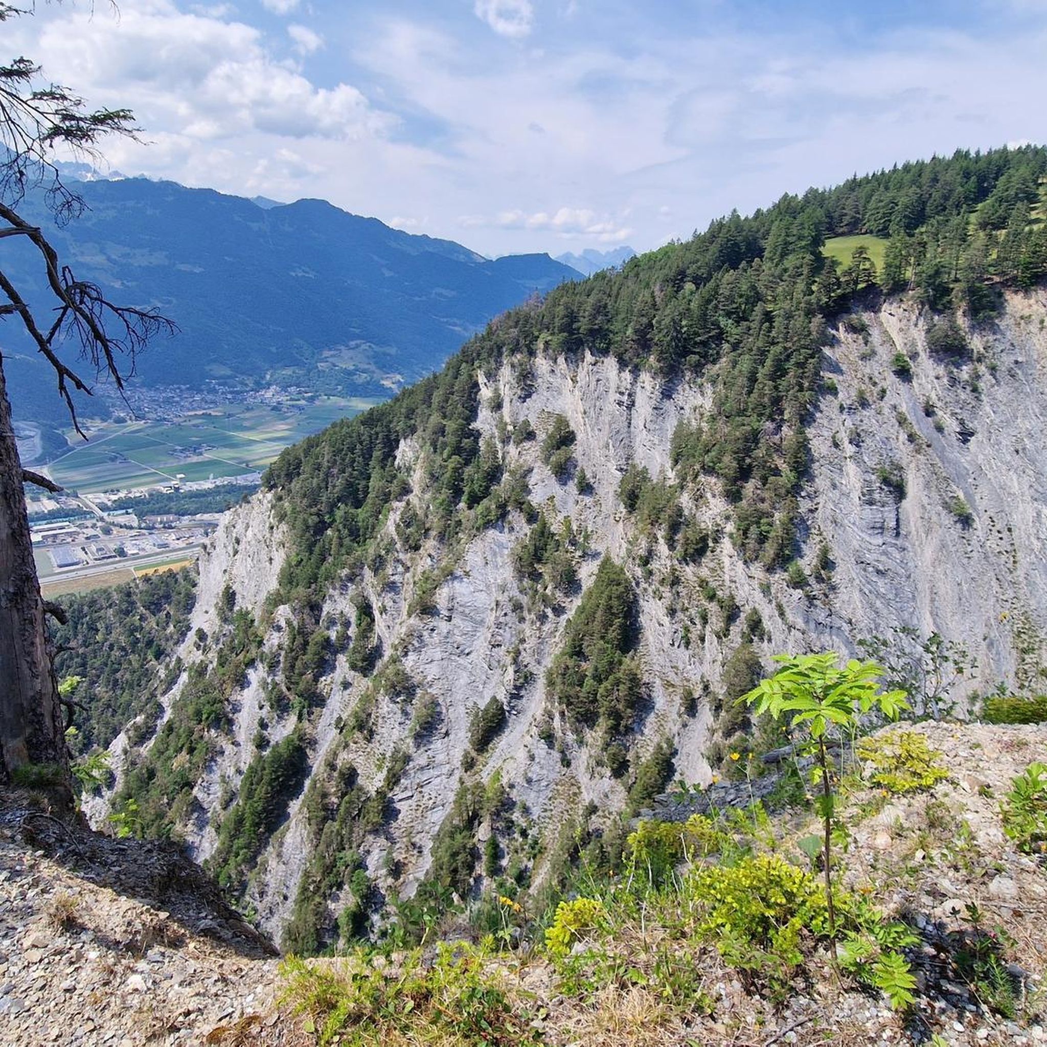
Ruinaulta Rhine Gorge The Ruinaulta, or Rhine Gorge, is a gorge of the Vorderrhein River, up to 400 meters deep and approximately 13 kilometers long, between Ilanz and the mouth of the Hinterrhein River near Reichenau in the canton of Graubünden in Switzerland. The Romansh name 'Ruinaulta' is composed of the two words ruina (scree slope, quarry) and aulta (high). The Ruinaulta was formed after the Flims Landslide almost 10,000 years ago. At that time, over 10 billion cubic meters of rock broke off between the Flimserstein and Piz Grisch, burying the Vorderrhein Valley between the present-day villages of Castrisch and Reichenau under a mass of debris several hundred meters thick. Because the Vorderrhein River could no longer drain away, a lake was dammed over a length of approximately 25 kilometers. Over time, the river cut deep into the landslide, and the resulting lake drained away completely. What remained was the Ruinaulta, with its steep limestone scree cliffs in impressive erosion formations. Text / Source: Wikipedia https://de.wikipedia.org/wiki/Ruinaulta
16
0
Confluence of the Vorderrhein and Hinterrhein, Reichenau Dominated by Reichenau Castle, the hamlet lies at the confluence of the Vorderrhein and Hinterrhein rivers, making it virtually the birthplace of the Rhine. It all began 10,000 years ago. Between the Flimserstein (a high plateau) and Piz Grisch, over 10,000 cubic meters of rock broke off and thundered down into the valley. Towards Reichenau, the Vorderrhein valley disappears under a gigantic mass of rubble. From there, the Rhine diligently ate its way through the rock, creating the spectacular Swiss "Grand Canyon" – the Ruinaulta. Text / Source: myswitzerland.com https://www.myswitzerland.com/de-ch/erlebnisse/route/vom-zusammenfluss-der-rheine-in-die-rheinschlucht/
16
0

komootモバイルアプリでインスピレーションを得よう


