ラパルマのおすすめライド
4.6
(174)
3,878
ライダー
105
ライド
このガイドでご紹介するのは、komootがラパルマでのロードバイクルートのコレクション全体を評価して選び抜いた、このエリアの人気バイクライドです。あなたに合ったものを見つけるには、以下のルートをクリックして標高データや舗装状態の分析などの細かな情報を把握し、さらにkomootコミュニティのメンバーが投稿した役立つ情報や写真も閲覧しましょう。
最終更新日: 10月 10, 2026
5.0
(2)
77
ライダー
107km
07:32
3,700m
3,700m
難しいロードライド. 標準以上のフィットネスレベルが必要です。 ツアーの一部に、未舗装のため走行が難しい箇所があるかもしれません。
4.3
(6)
76
ライダー
53.4km
03:20
1,380m
1,380m
難しいロードライド. 標準以上のフィットネスレベルが必要です。 全般的に舗装状態が良好で走行しやすい道です。

4.5
(2)
24
ライダー
32.7km
02:11
1,030m
1,030m
難しいロードライド. 標準以上のフィットネスレベルが必要です。 全般的に舗装状態が良好で走行しやすい道です。
5.0
(2)
21
ライダー
41.2km
02:58
1,490m
1,490m
難しいロードライド. 標準以上のフィットネスレベルが必要です。 ツアーの一部に、未舗装のため走行が難しい箇所があるかもしれません。
4.5
(8)
310
ライダー
101km
06:05
2,610m
2,610m
難しいロードライド. 標準以上のフィットネスレベルが必要です。 全般的に舗装状態が良好で走行しやすい道です。
さらに多くのルートや他のユーザーのおすすめ情報を確認できます。
すでにアカウントをお持ちですか?
おすすめのツアーは他のkomootユーザーが実際に経験した何千ものアクティビティに基づいています。
無料アカウントで今日から始めよう
次の冒険が待っています。
ラパルマ周辺で人気
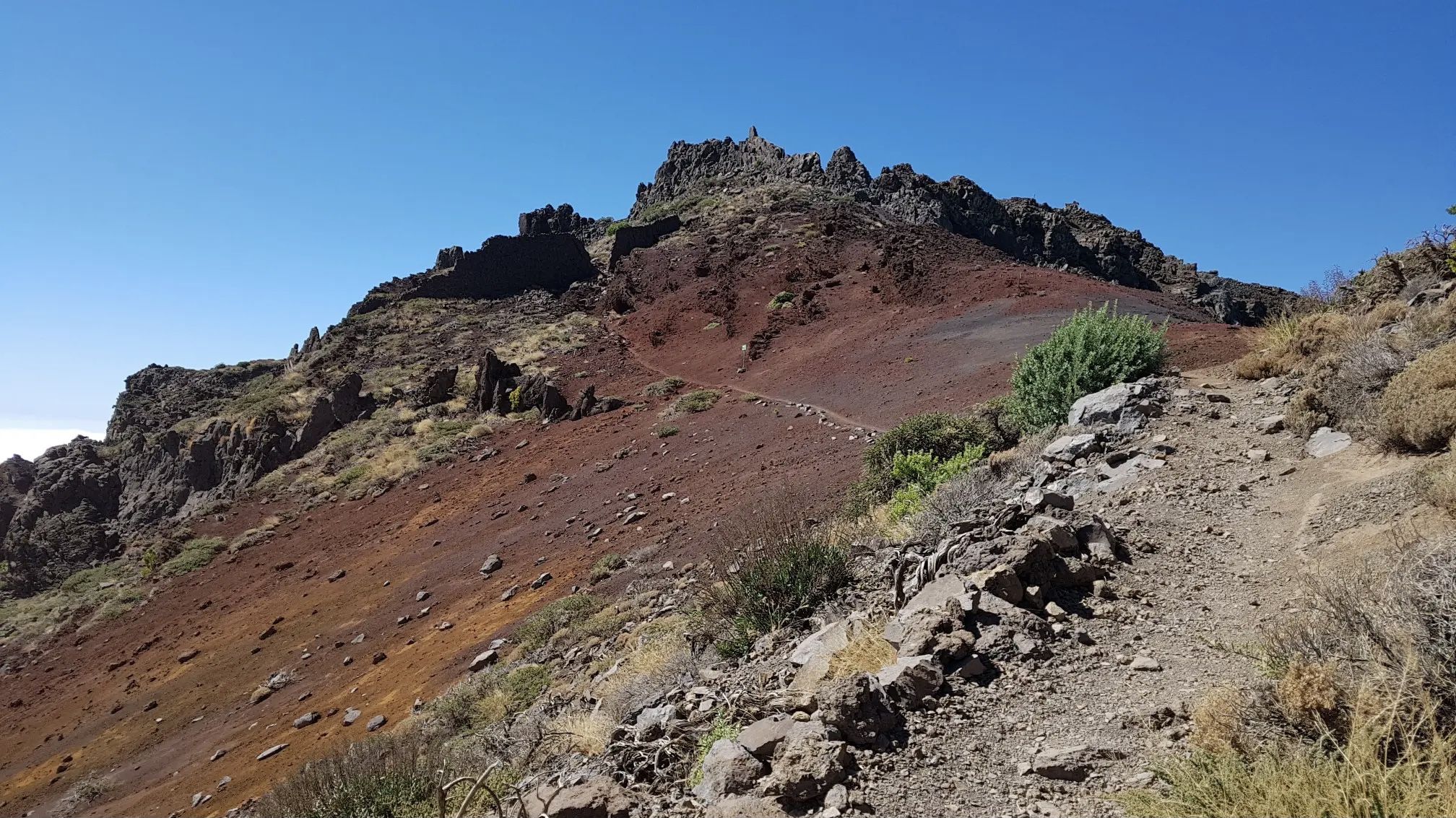
ラ・パルマの全貌 – GR 131 El Bastón

Trail on the Canary Islands – discover the legendary races!

La Palma, El Hierro y La Gomera – explore the Canaries’ Green Islands on foot
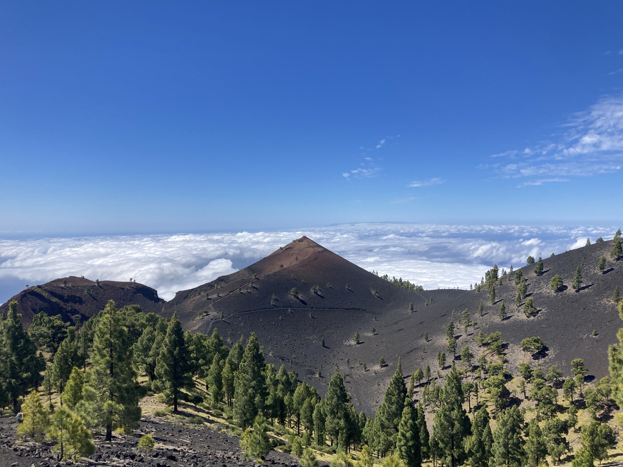
Transvulcania - カナリア諸島のラパルマをGR 131で横断する
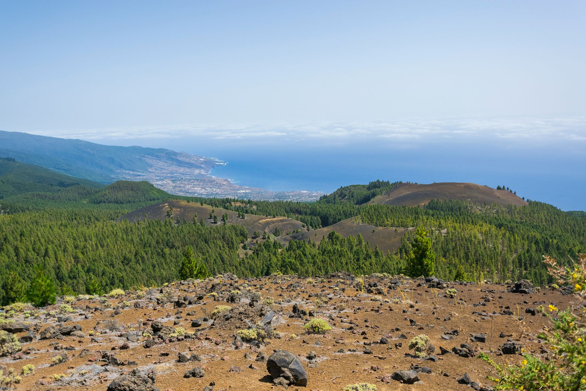
美しい島の周り – La Palma 自然トレイル (GR 130)
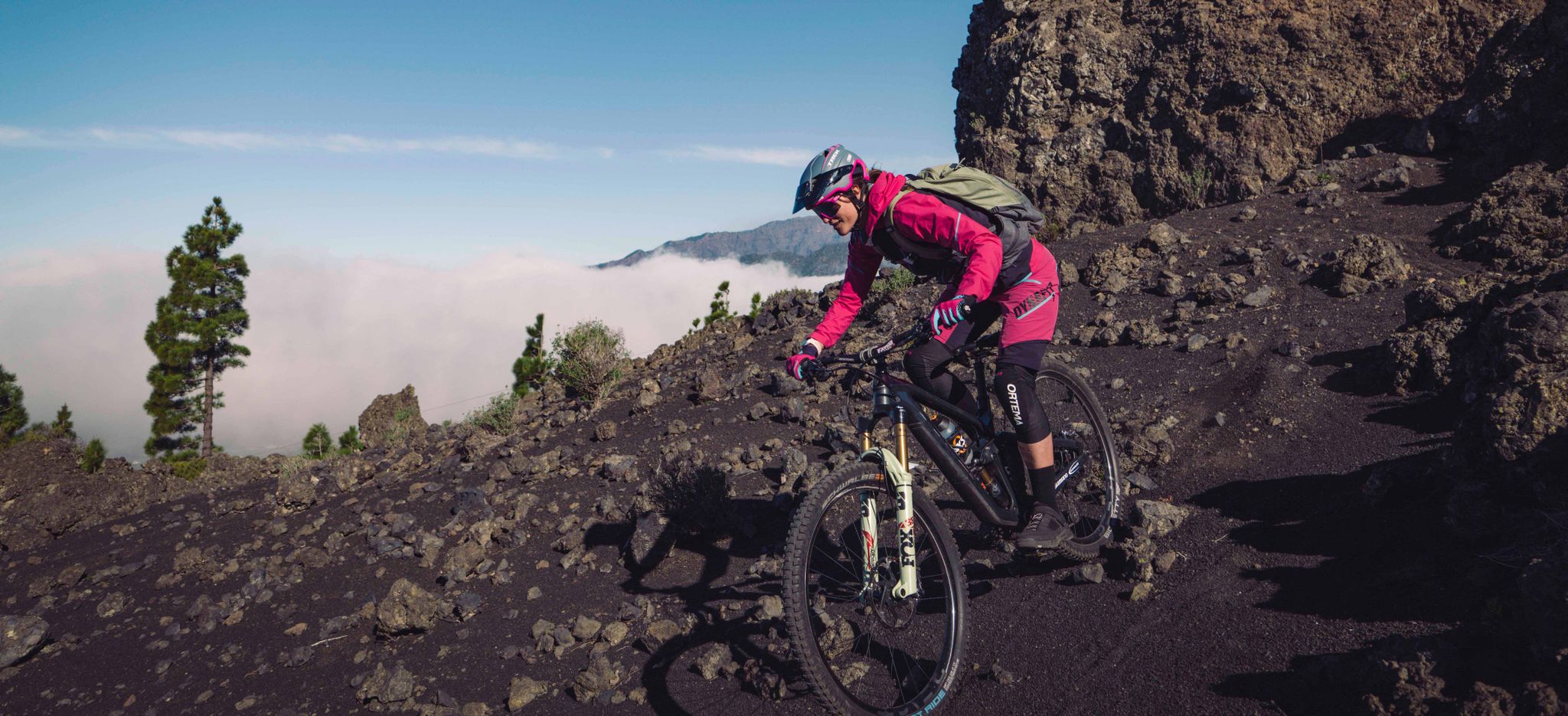
ラ・パルマ - カナリア諸島のイスラ・ボニタでのお気に入りのツアー
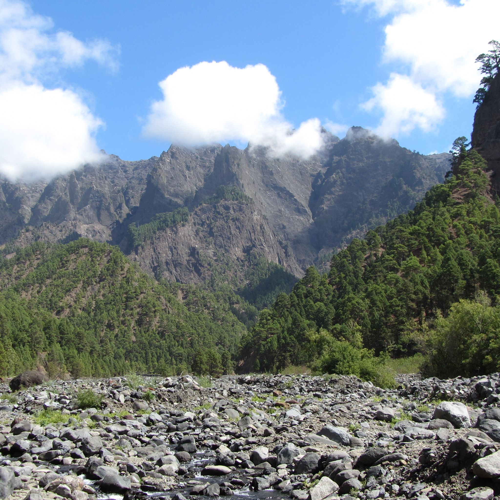
ラパルマでのハイキング
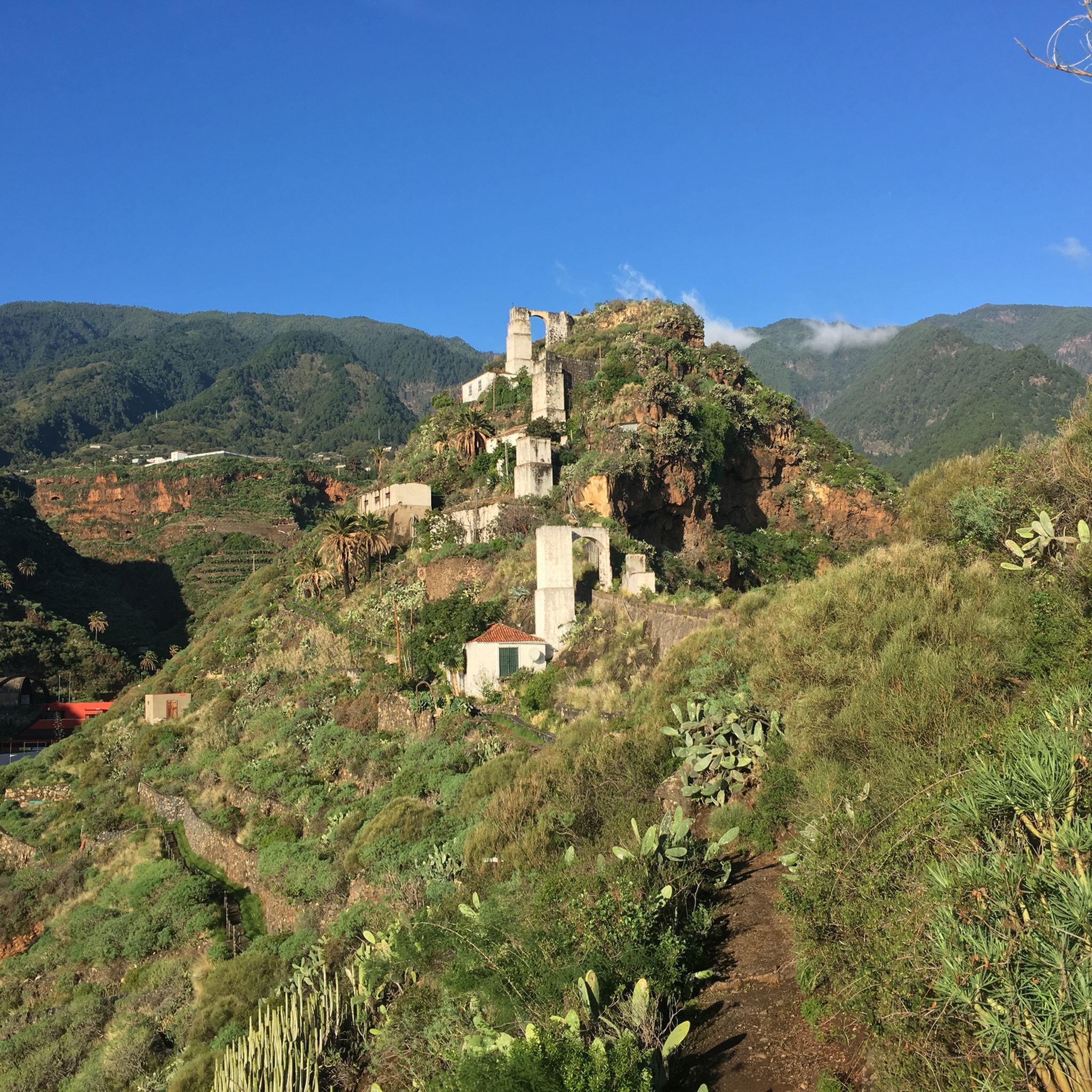
ラパルマのランニングコース
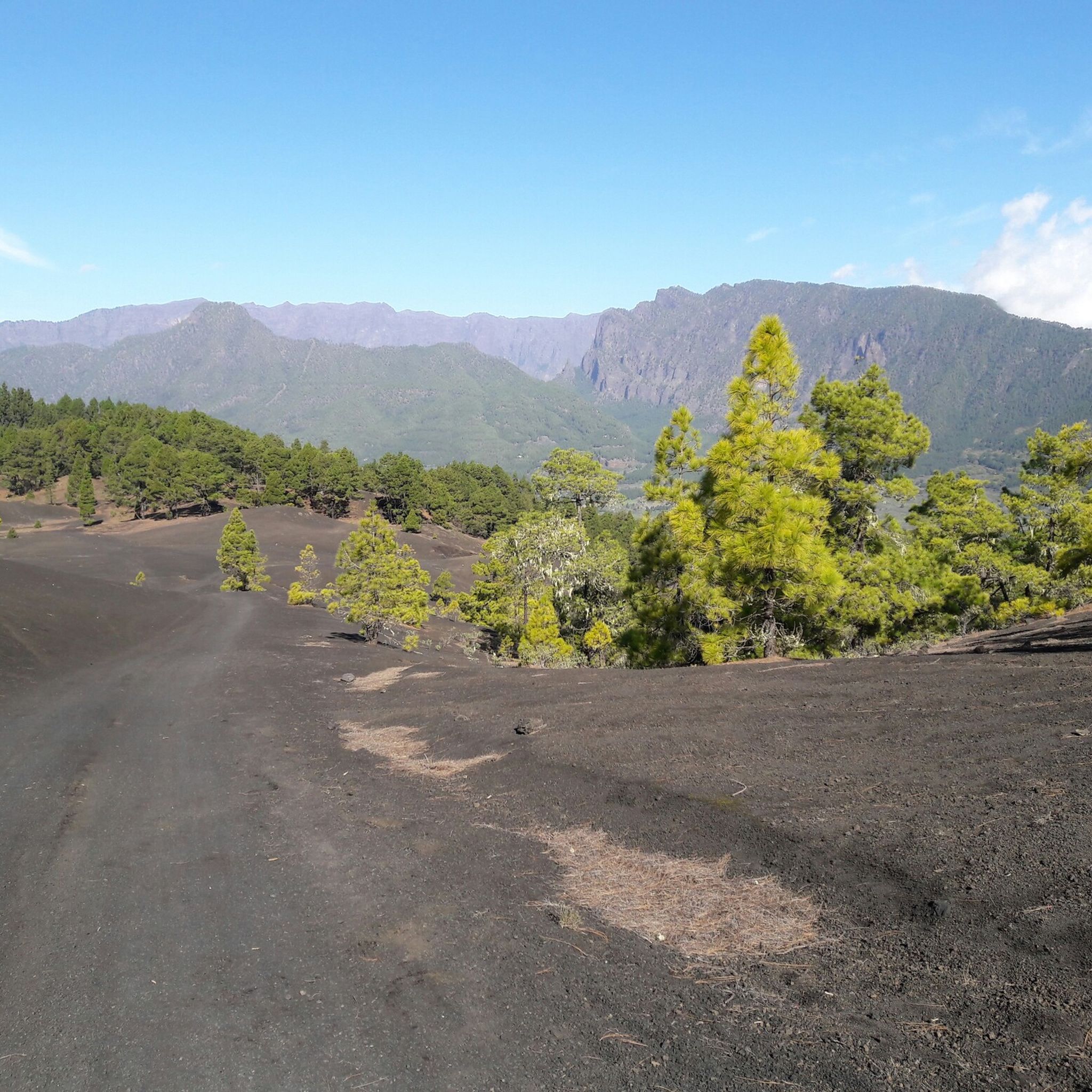
ラパルマのMTBトレイル
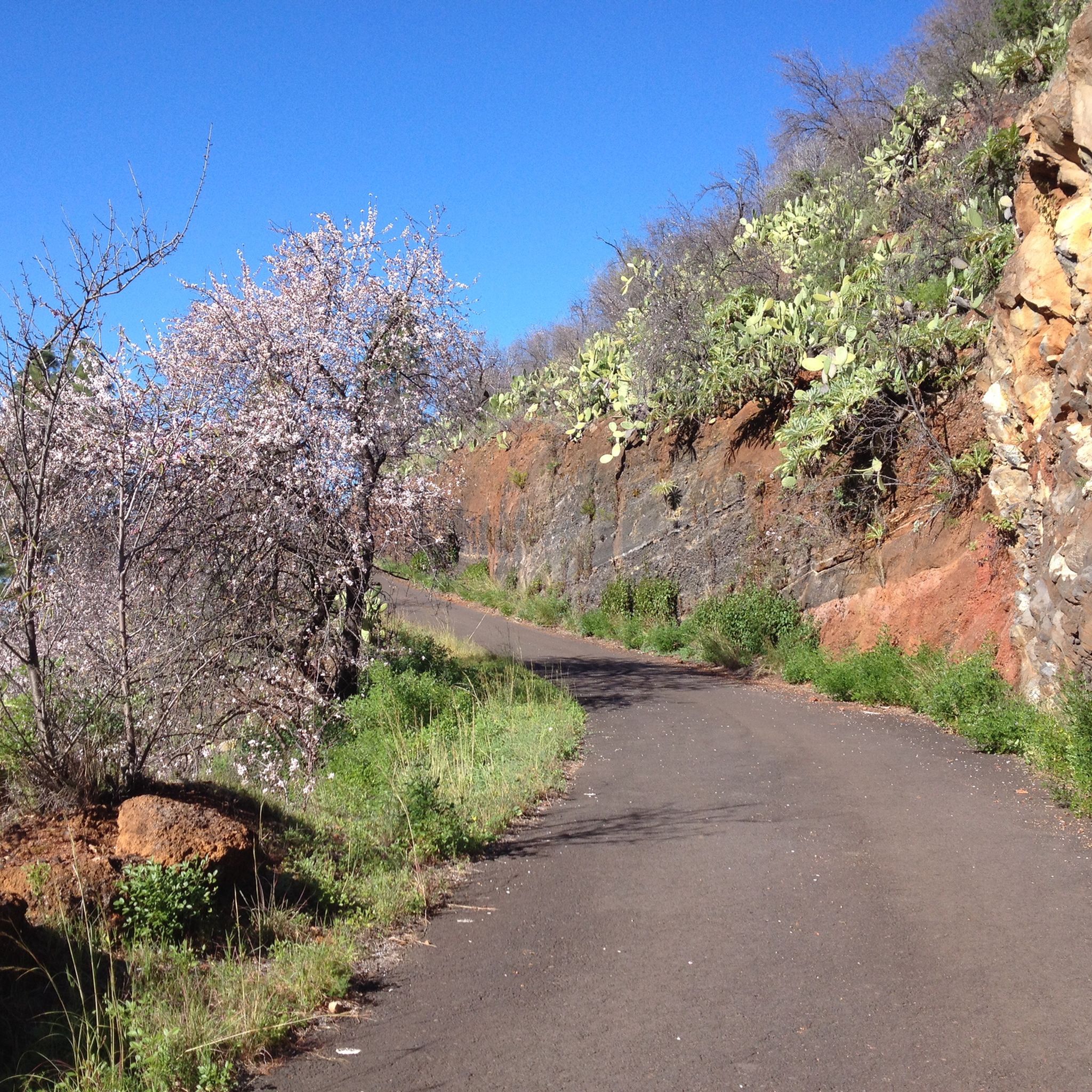
ラパルマでのサイクリング
ラパルマでのの他の冒険


コミュニティからのヒント

There's also a small supermarket in the village, uphill to the left above the church. It's a good place to stop for a break.
0
0

Restaurant was renovated in 2024 by new owner and has become a vegetarian restaurant. Mainly Italian dishes. Tastes delicious and a lot of use of local ingredients.
0
0

Great route with really little traffic. In mid-March an almond tree blooms here and there on the side of the road.
1
0
I was here in March 2024 and it was just fantastic. Good asphalt, constant ups and downs and great views. If the weather is good, even as far as Tenerife.
1
0

Definitely bring good lights. Road inside the tunnels is full of holes and paddles so you need to navigate them.
1
0

On a day with visibility you will see the nearby islands. Don't miss the sunset, the colors are different here. The temperature changes constantly, don't forget your windbreak
7
0

Still closed according to sign for renovation. Will it open again at all? You can easily park in front of the restaurant, which is located directly on the "La Traviesa" hiking trail (LP 20). A good starting point for all hikes in the north.
0
0

komootモバイルアプリでインスピレーションを得よう


さらに探索
他の地域の最高のロードサイクリングルートを見てみましょう。
