タサコルテのおすすめライド
4.5
(91)
1,538
ライダー
49
ライド
タサコルテ周辺のロードバイクルートをお探しですか?ここでは、komootが提供するタサコルテでのロードバイクライドのコレクション全体を評価して選び抜いた人気ルートをご紹介します。各ライドの詳細をぜひご覧ください。
最終更新日: 9月 8, 2026
4.7
(10)
120
ライダー
51.3km
03:08
1,420m
1,420m
難しいロードライド. 標準以上のフィットネスレベルが必要です。 全般的に舗装状態が良好で走行しやすい道です。
4.5
(6)
86
ライダー
48.6km
02:32
910m
910m
難しいロードライド. 標準以上のフィットネスレベルが必要です。 全般的に舗装状態が良好で走行しやすい道です。

4.5
(2)
44
ライダー
55.1km
03:42
1,790m
1,790m
難しいロードライド. 標準以上のフィットネスレベルが必要です。 全般的に舗装状態が良好で走行しやすい道です。
5.0
(2)
26
ライダー
中程度のロードライド. ある程度のフィットネスレベルが必要です。 全般的に舗装状態が良好で走行しやすい道です。
19
ライダー
114km
06:57
3,060m
3,060m
難しいロードライド. 標準以上のフィットネスレベルが必要です。 ツアーの一部に、未舗装のため走行が難しい箇所があるかもしれません。
さらに多くのルートや他のユーザーのおすすめ情報を確認できます。
すでにアカウントをお持ちですか?
おすすめのツアーは他のkomootユーザーが実際に経験した何千ものアクティビティに基づいています。
無料アカウントで今日から始めよう
次の冒険が待っています。
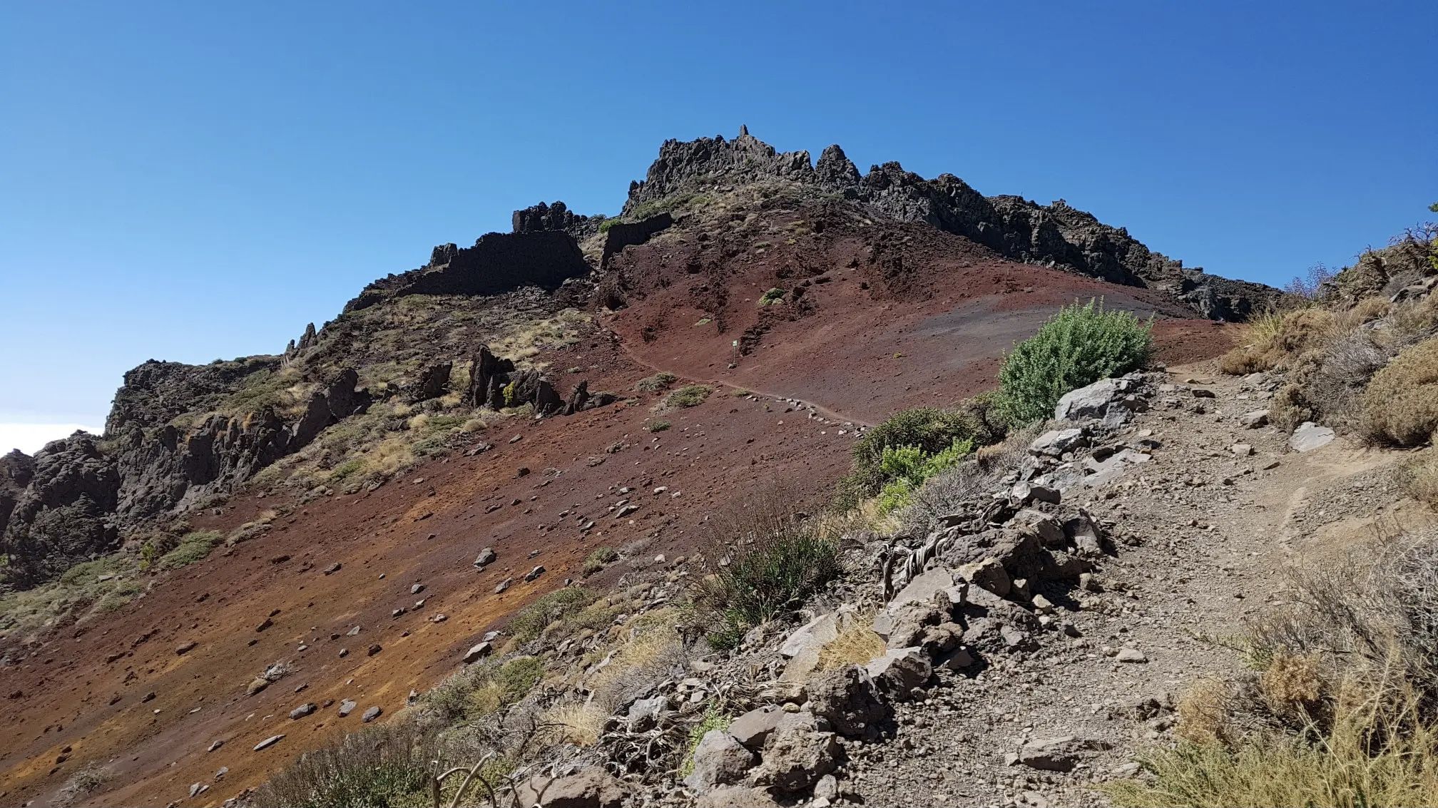
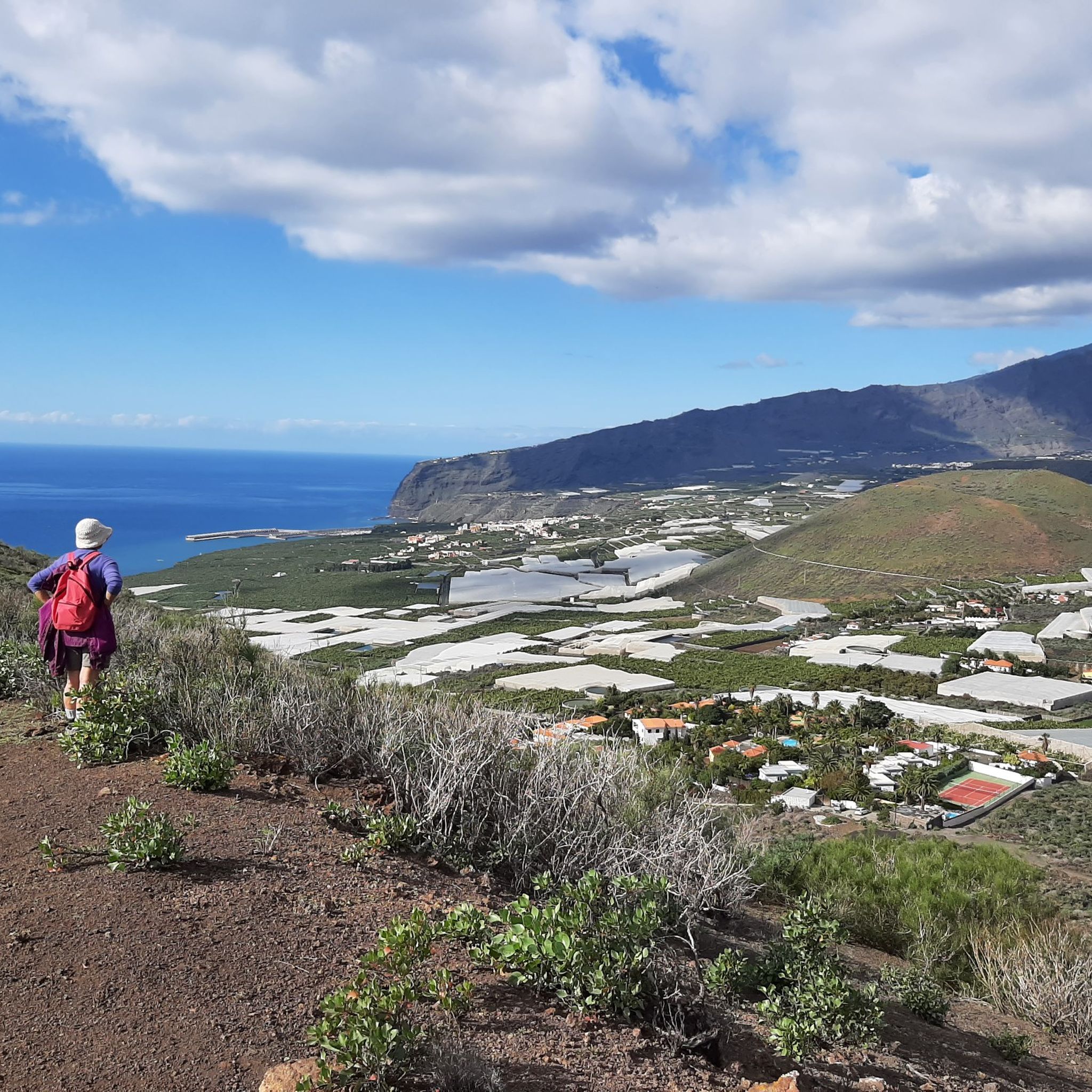
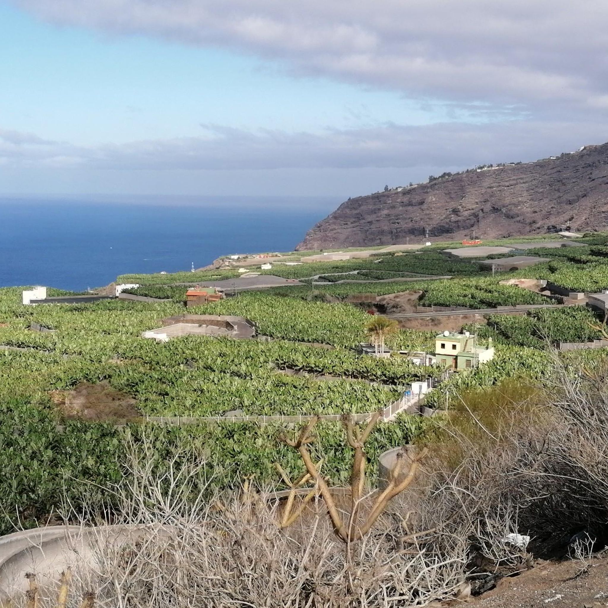
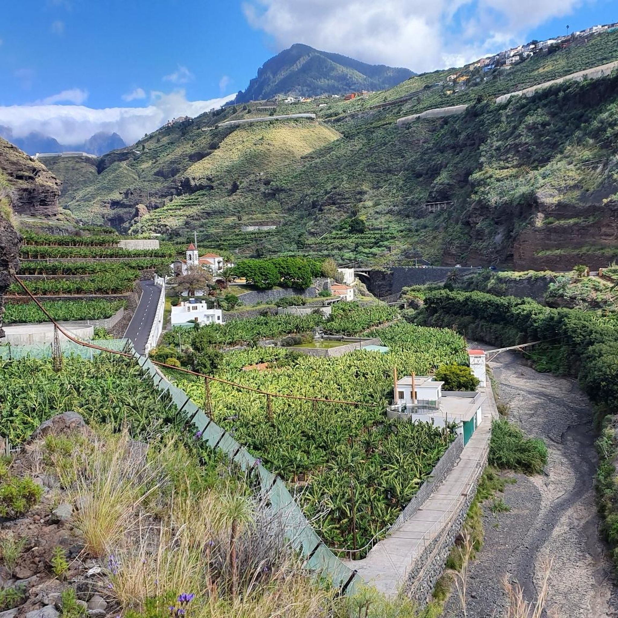


コミュニティからのヒント


The taxi still costs €51, and they're already waiting there. With four passengers, you can split the price accordingly, so it's worth the wait. The climb without a taxi takes about 2.5 hours. I'm glad I took the taxi.
2
0

Perfectly smooth asphalt and stunning experience to ride so close the fresh lava fields
0
0

The Caldera de Taburiente Visitor Center is a facility intended to offer information, education and guidance to visitors wishing to explore the Caldera de Taburiente National Park, located on the island of La Palma, in the Canary Islands. This center provides an introduction to the geology, flora, fauna and history of the park, as well as practical information on hiking trails, points of interest and conservation regulations. It usually has interactive exhibits, audiovisuals, maps, information panels, and trained staff to answer questions and provide assistance to visitors. https://www.youtube.com/watch?v=y5w7bNH22mU
1
0
Los Canarios is the capital of the municipality of Fuencaliente, on the island of La Palma (Canary Islands, Spain). It is located at 700 m above sea level. n. m., in a hole surrounded by volcanic cones covered with pine forests. The population center is more concentrated on both sides of the main road, and outside it it is more spread out. The fact that it is far from other population centers, that it is the southernmost town on the island, and that it is almost immersed in dense pine forests, gives it an aspect of isolation. At a certain time, the cultivation of cereals, fruit trees and vineyards was important in its surroundings. Nowadays, the vineyard is still important, plus the small self-sufficiency orchards. https://www.youtube.com/watch?v=sfeasyaLpV8
0
0
On clear days you can see Teide, El Hierro and La Gomera, you can't miss it https://www.youtube.com/watch?v=UqwZv4OZQ8k
1
0
From this viewpoint you can see panoramic views of the main population center of Fuencaliente, Los Canarios, and the San Antonio Volcano. To the right of this volcanic cone, on its slope, you can see the Roque Teneguía spot. This Roque is a testimony of the ancient volcanism of the region, on which there is a station of rock engravings of the aborigines of the Island.
1
0

komootモバイルアプリでインスピレーションを得よう


さらに探索
他の地域の最高のロードサイクリングルートを見てみましょう。
