ラスニーブスのおすすめライド
4.6
(103)
2,318
ライダー
51
ライド
ラスニーブスでのでおすすめのロードバイクルートをお探しですか?ラ・パルマ島が誇るこの美しい自然公園周辺で楽しめるライドを集めたkomootコレクションを参考にしてください。次のアドベンチャーでは、ラスニーブスの魅力をもっと発見しましょう。
最終更新日: 8月 25, 2026
5.0
(2)
79
ライダー
111km
07:39
3,790m
3,780m
難しいロードライド. 標準以上のフィットネスレベルが必要です。 ツアーの一部に、未舗装のため走行が難しい箇所があるかもしれません。
8
ライダー
21.1km
01:18
580m
580m
中程度のロードライド. ある程度のフィットネスレベルが必要です。 全般的に舗装状態が良好で走行しやすい道です。

無料新規登録
11
ライダー
90.4km
05:57
2,850m
2,850m
難しいロードライド. 標準以上のフィットネスレベルが必要です。 全般的に舗装状態が良好で走行しやすい道です。
5.0
(2)
80
ライダー
107km
07:32
3,700m
3,700m
This challenging 66.7-mile road cycling loop to Roque de los Muchachos offers 12139 feet of climbing and incredible views in La Palma.
5.0
(5)
59
ライダー
58.4km
04:07
2,070m
2,070m
難しいロードライド. 標準以上のフィットネスレベルが必要です。 全般的に舗装状態が良好で走行しやすい道です。
さらに多くのルートや他のユーザーのおすすめ情報を確認できます。
無料新規登録
すでにアカウントをお持ちですか?
おすすめのツアーは他のkomootユーザーが実際に経験した何千ものアクティビティに基づいています。
無料アカウントで今日から始めよう
次の冒険が待っています。
ログインまたは登録



コミュニティからのヒント

Steep section for a few kilometers. Probably the harder part of the climb.
0
0

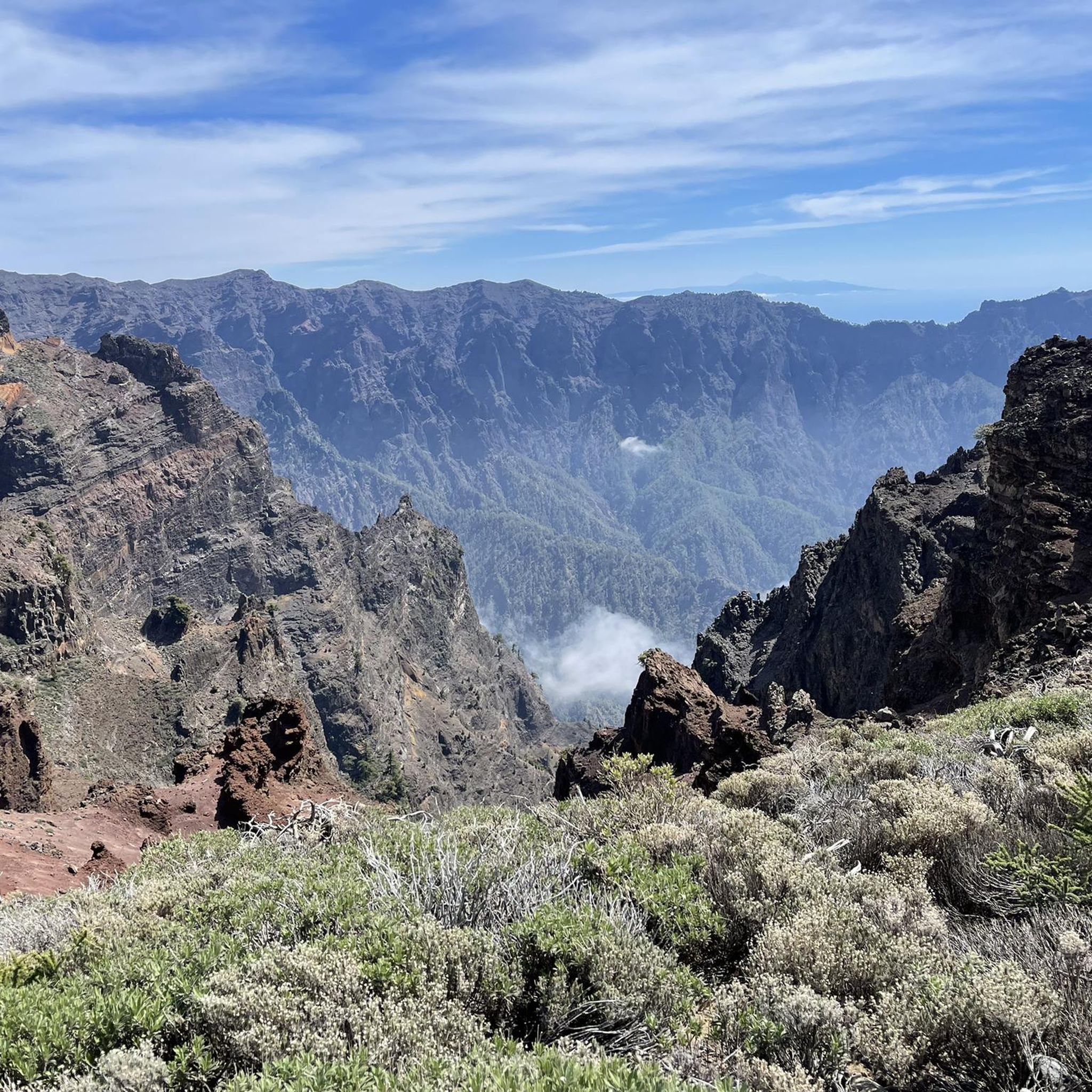
Here too, a wonderful road for racing cycling. Good views, lots of greenery, manageable traffic.
3
0
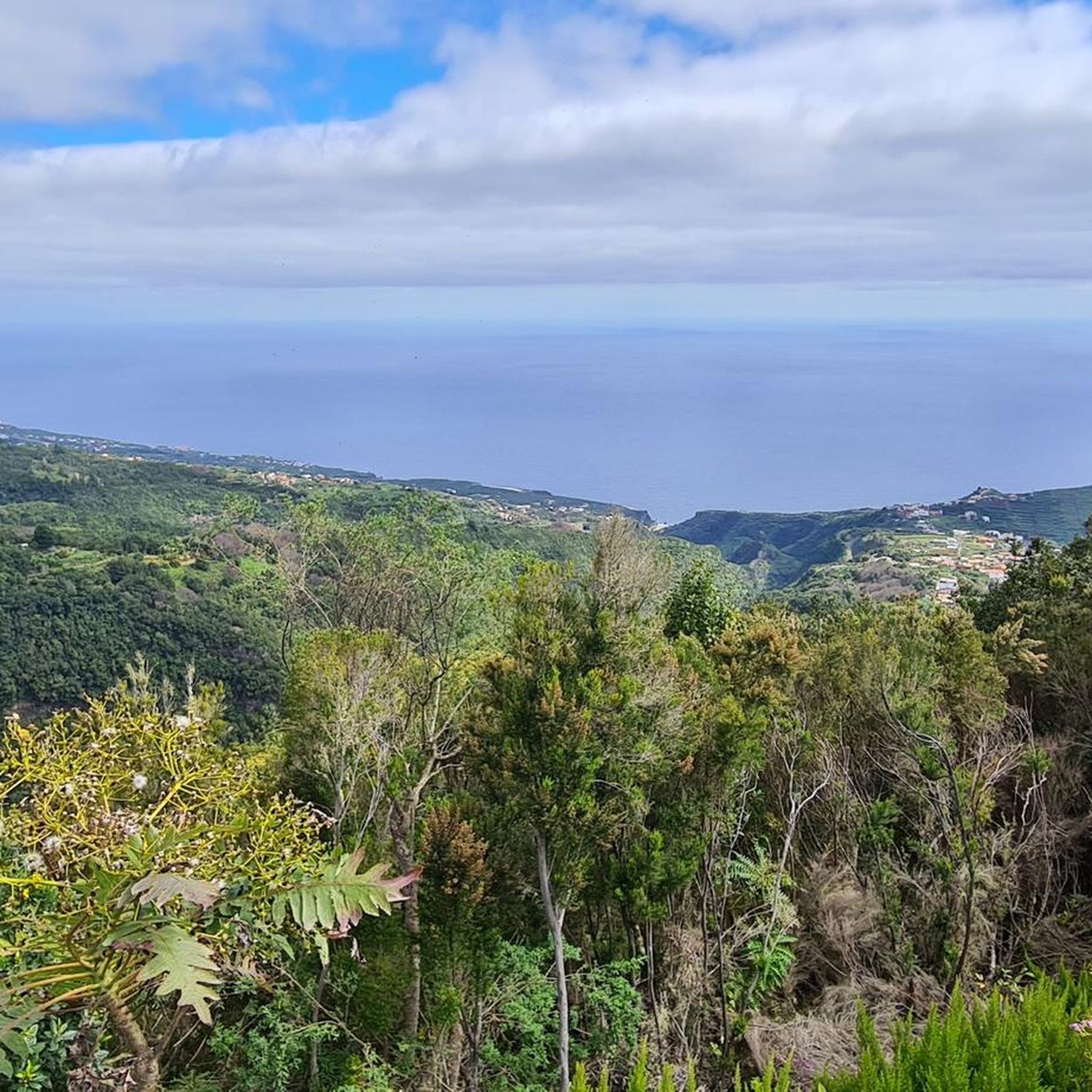
The detour is worth it for anyone who wants to climb a little more and is looking for a remote road with little traffic. When it's not going up or down through serpentines, the landscape is characterized by banana plantations and the associated factories.
2
0
Here you can enjoy a wonderful view of the Montaña de Tenagua. The road is wide and has impeccable asphalt. Very steep in places up to 14 percent. That's why it goes downhill quite quickly or slowly uphill. I found the drivers to be respectful, but I certainly didn't feel safe in every bend. Even if the amount of traffic is ok.
2
0
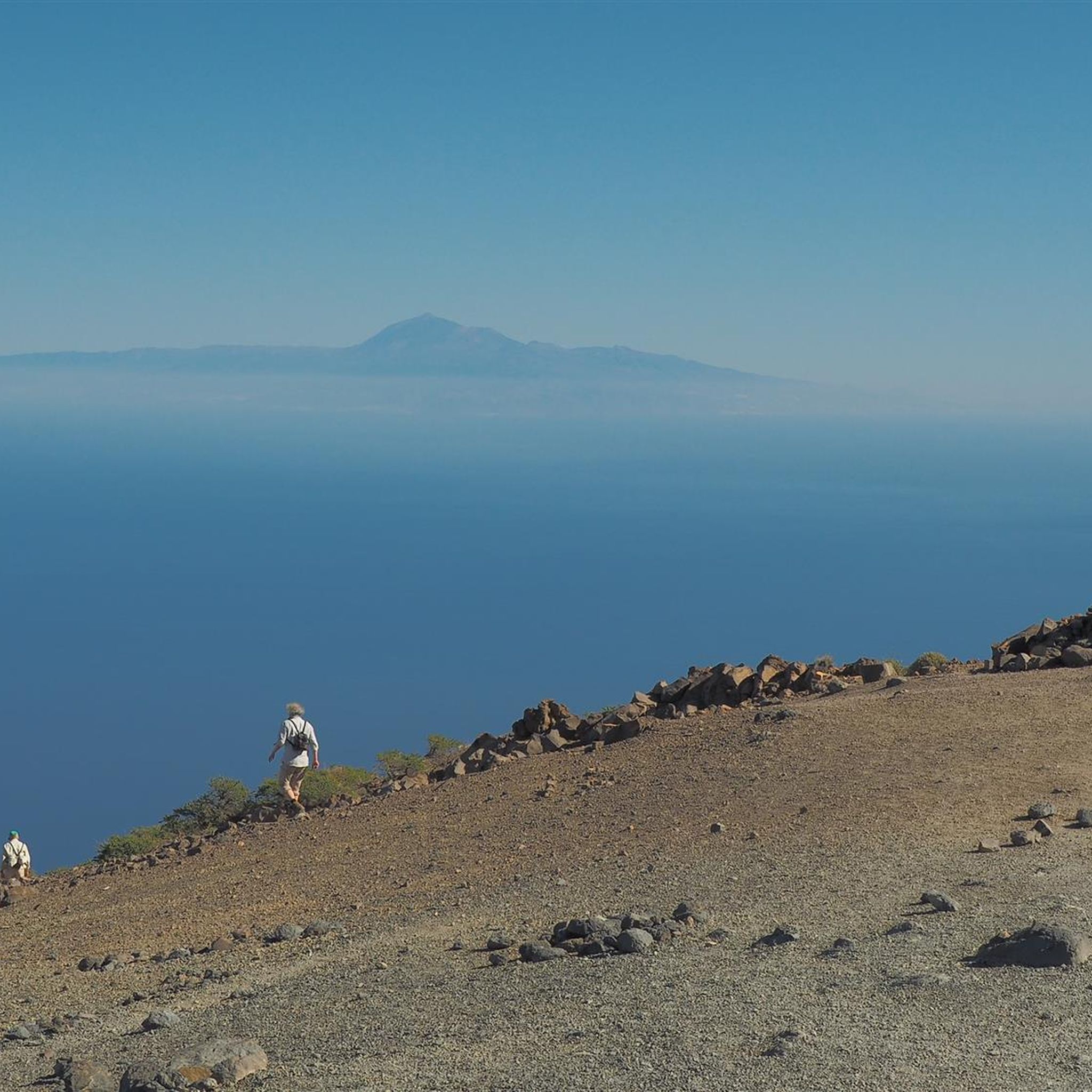
I was here in March 2024 and it was just fantastic. Good asphalt, constant ups and downs and great views. If the weather is good, even as far as Tenerife.
1
0
Pretty passage. Located on a wonderful panoramic route.
1
0

The climb to Roque del Faro begins immediately after you have driven through the dark tunnel of the LP-1 to the village of Franceses. (Be careful, the tunnel is unlit, be sure to take off your sunglasses and drive through slowly if you don't have light.) The pass then winds 8.30 kilometers through a wonderful jungle landscape. You will climb a total of 569 meters. On average, you'll get your money's worth here at 6.8 percent. However, there are also slightly flatter and even even sections of the route where there is time to breathe. The asphalt is consistently fine. However, there are a few individual holes and rippled spots in the tar caused by the heat on the route. As is usually the case in the north of the island, car traffic is very manageable. This pass is an important key climb if you want to either continue towards Roque de los Muchachos or continue towards the west side of La Palma.
2
0
ラスニーブスでのの人気観光スポット

komootモバイルアプリでインスピレーションを得よう


さらに探索
他の地域の最高のロードサイクリングルートを見てみましょう。
