オーバーキルヒェのおすすめランニングルート
4.5
(135)
1,707
ランナー
120
ランニング
オーバーキルヒェでランニングを楽しめば、このエリアをより深く知ることができます。ランニングに適した美しいルートが見つかるように、komootがオーバーキルヒェでのルートのコレクション全体を評価して選び抜いた、人気ランニングトレイルをご紹介します。ルートをクリックして詳細を表示し、他のユーザーがアップロードした役立つ情報や写真を閲覧しましょう。
最終更新日: 10月 5, 2026
3.8
(13)
207
ランナー
8.83km
00:55
30m
30m
中程度のジョギング. ある程度のフィットネスレベルが必要です。 全般的に舗装された状態です。あらゆるスキルレベルに適しています。
3.7
(15)
74
ランナー
7.66km
00:47
20m
20m
中程度のジョギング. ある程度のフィットネスレベルが必要です。 全般的に舗装された状態です。あらゆるスキルレベルに適しています。

3.6
(14)
68
ランナー
8.51km
00:53
30m
30m
中程度のジョギング. ある程度のフィットネスレベルが必要です。 全般的に舗装された状態です。あらゆるスキルレベルに適しています。
4.5
(4)
113
ランナー
18.0km
01:53
110m
120m
難しいジョギング. 標準以上のフィットネスレベルが必要です。 全般的に舗装された状態です。あらゆるスキルレベルに適しています。
5.0
(5)
43
ランナー
8.99km
00:58
100m
100m
中程度のジョギング. ある程度のフィットネスレベルが必要です。 全般的に舗装された状態です。あらゆるスキルレベルに適しています。
さらに多くのルートや他のユーザーのおすすめ情報を確認できます。
すでにアカウントをお持ちですか?
おすすめのツアーは他のkomootユーザーが実際に経験した何千ものアクティビティに基づいています。
無料アカウントで今日から始めよう
次の冒険が待っています。
オーバーキルヒェ周辺で人気
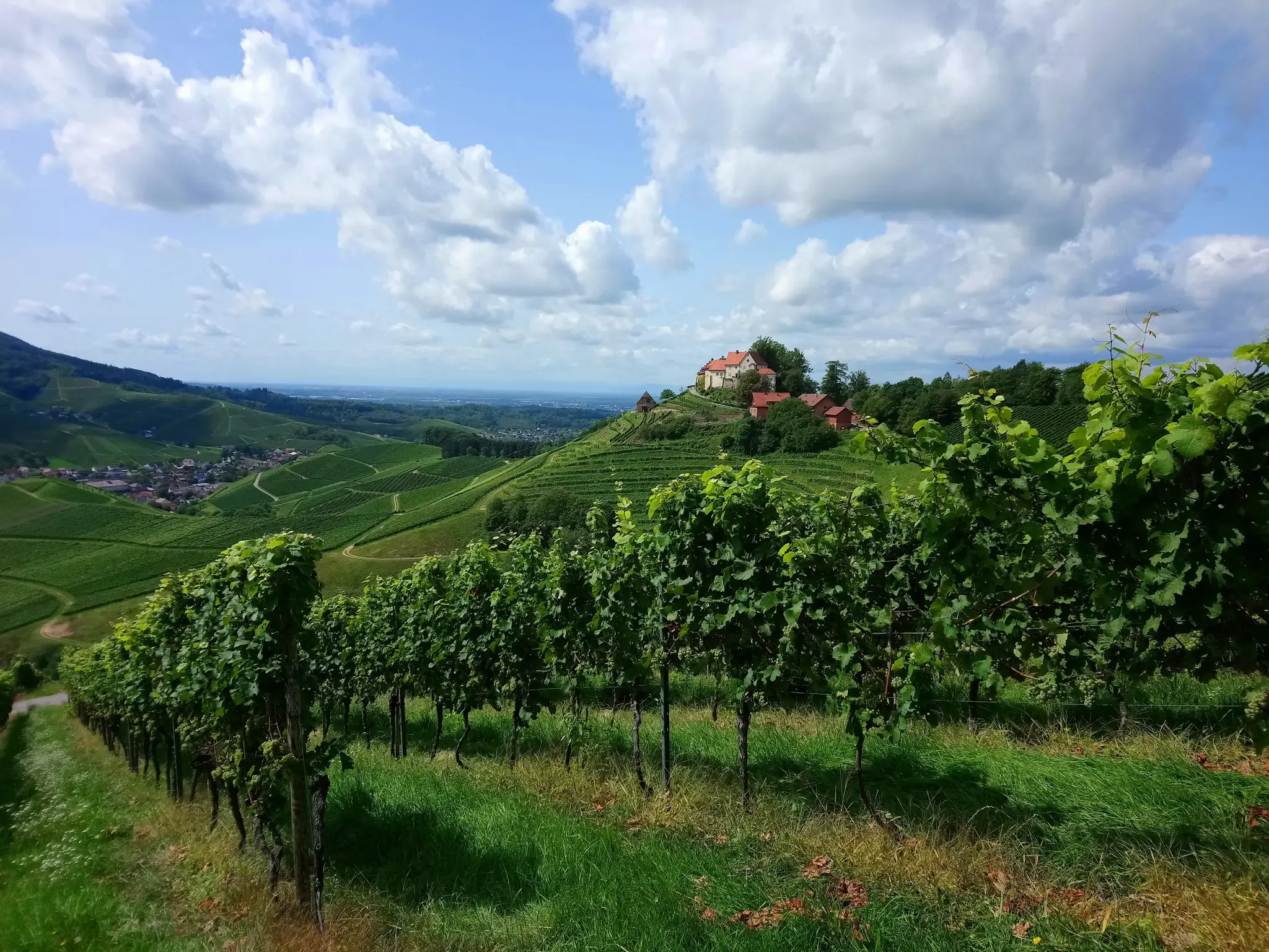
赤と白のワインのグラス一杯、お願いします – オルテナウワイントレイル
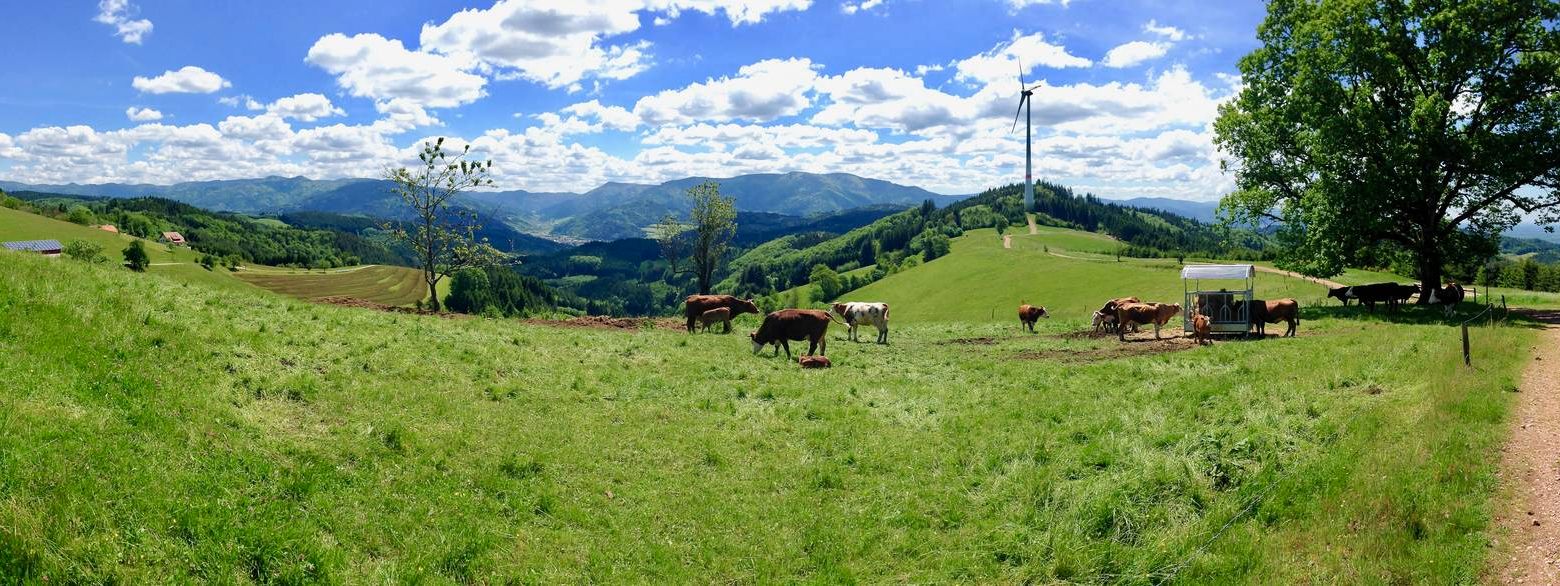
西よりも西の方角 – カンデル高原道の5エタップ
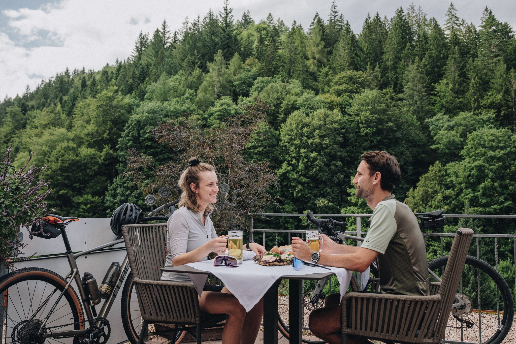
Feast, ride and discover – cycling and pleasure in the Black Forest
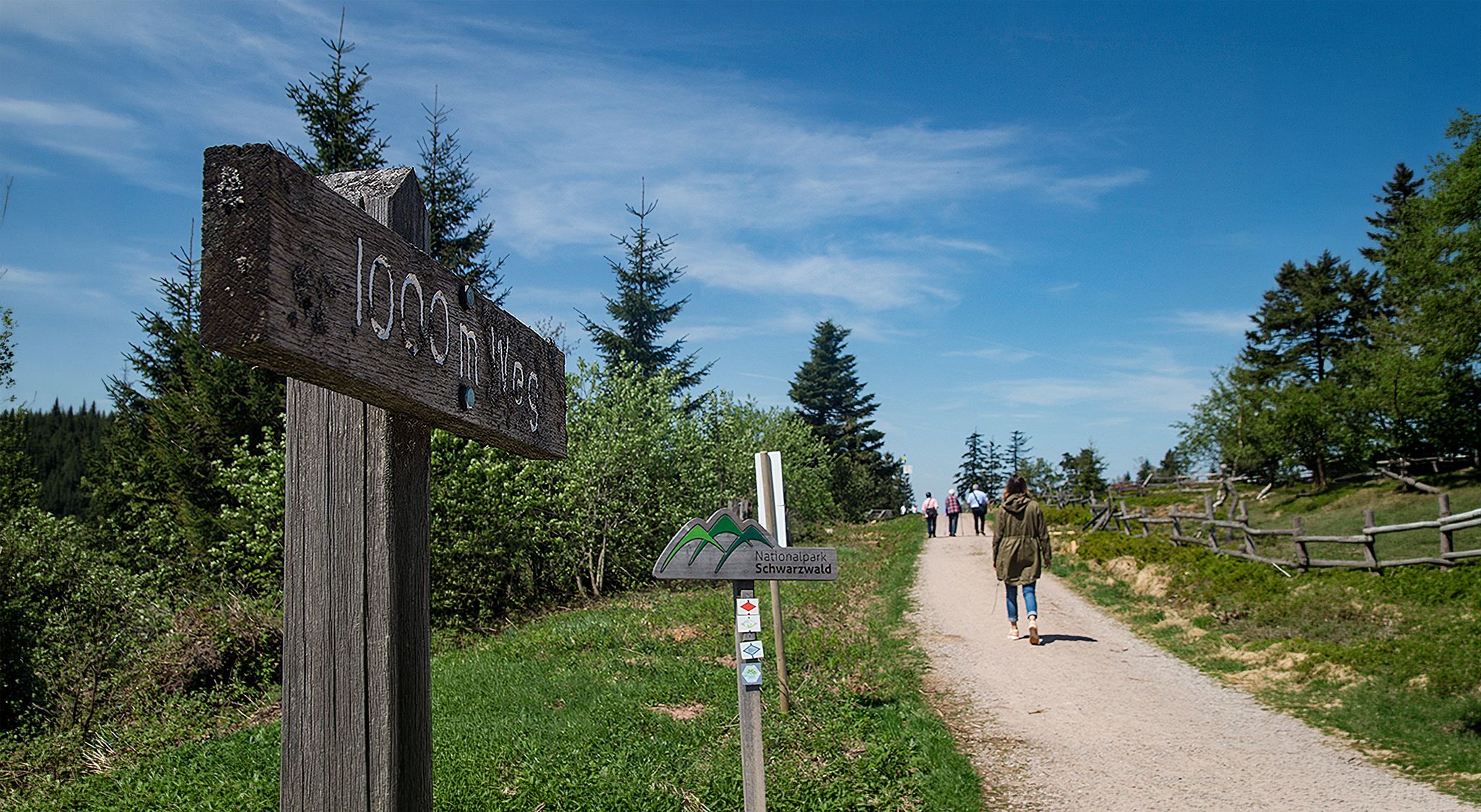
Barrier-free hikes in the Black Forest National Park
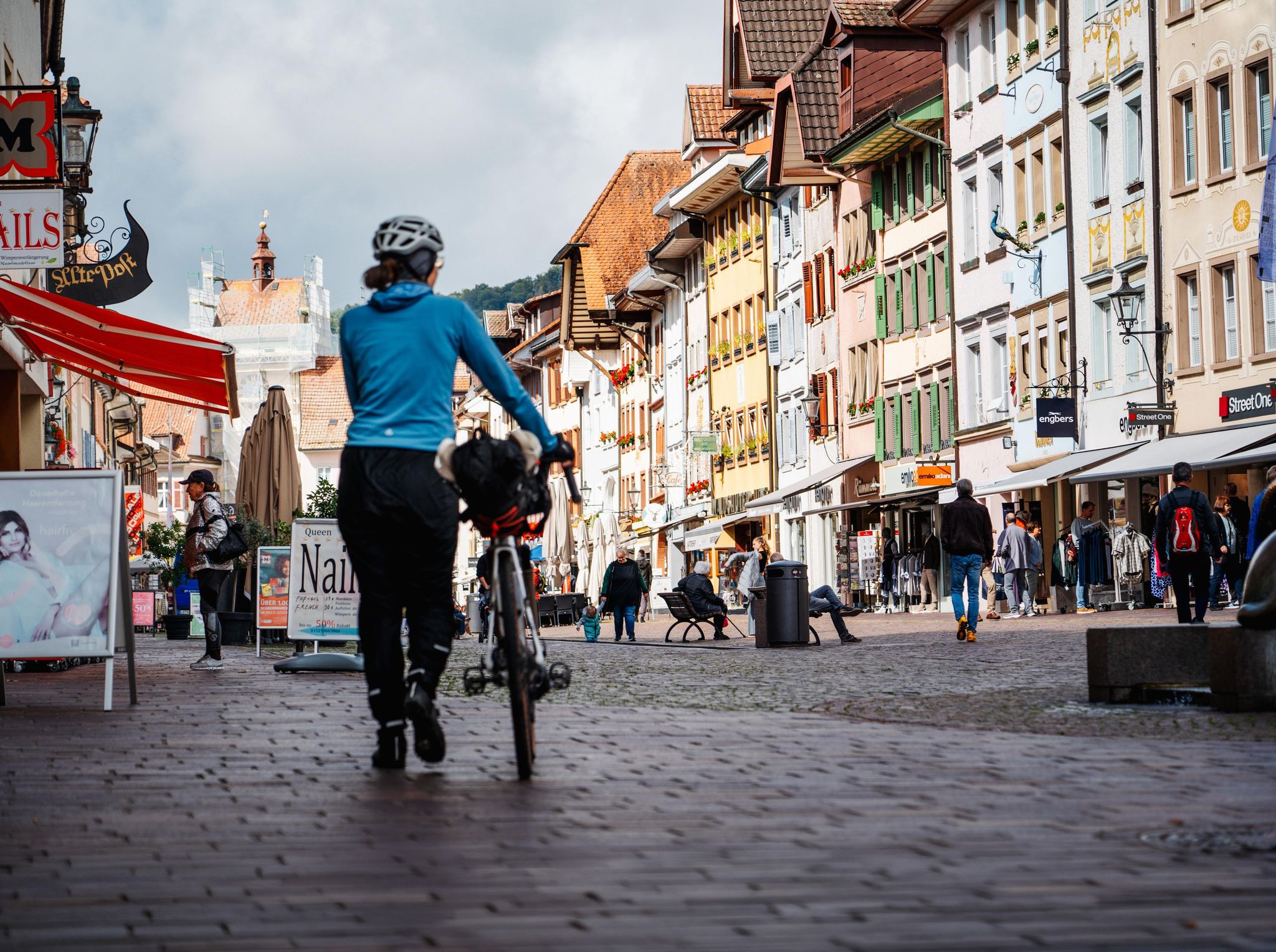
Adventure on two wheels – overnight cycling trips in Baden-Württemberg
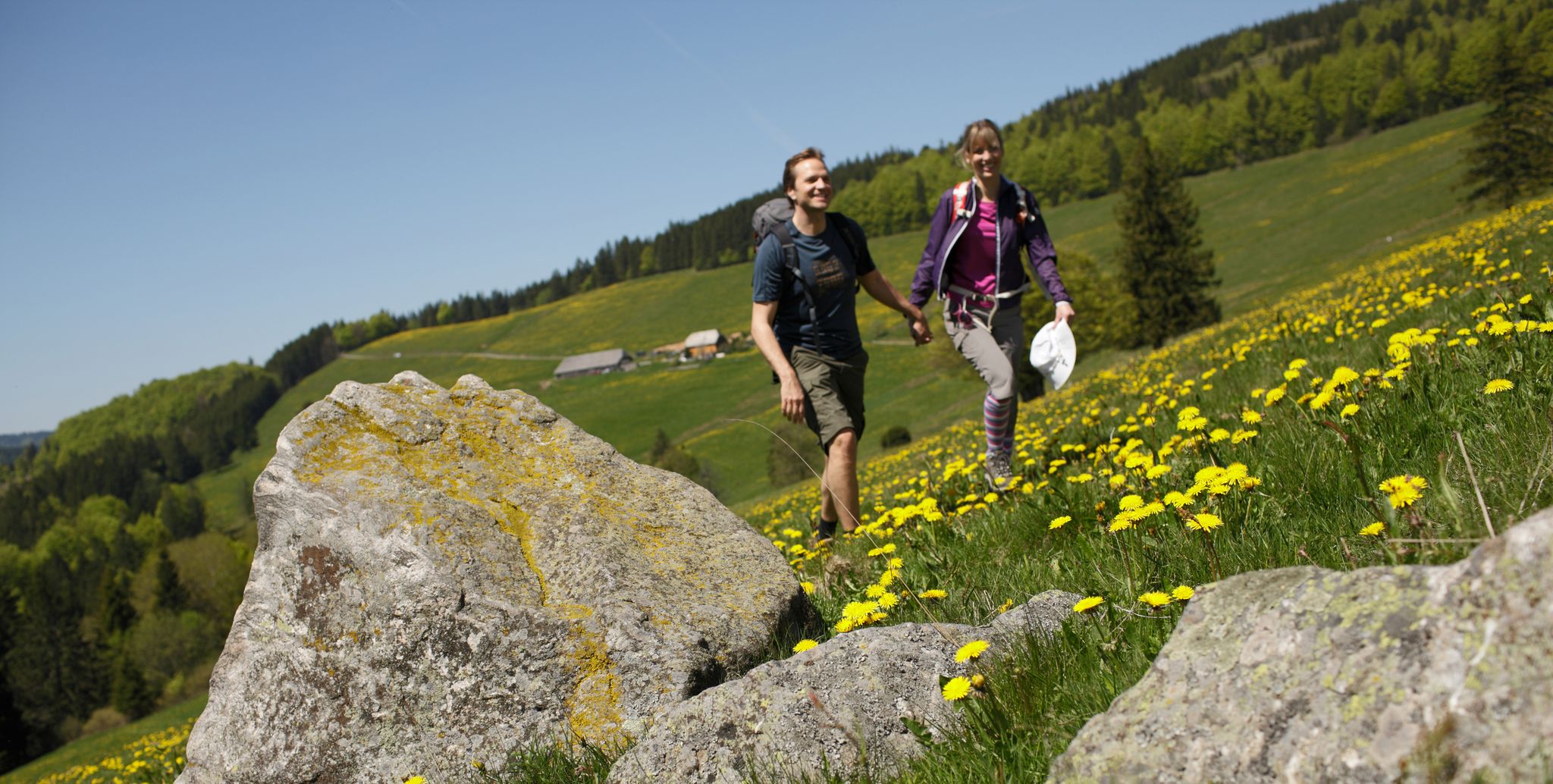
Spring in Germany’s Southwest – where hiking is best!

Discover premium and quality long-distance hiking in southern Germany
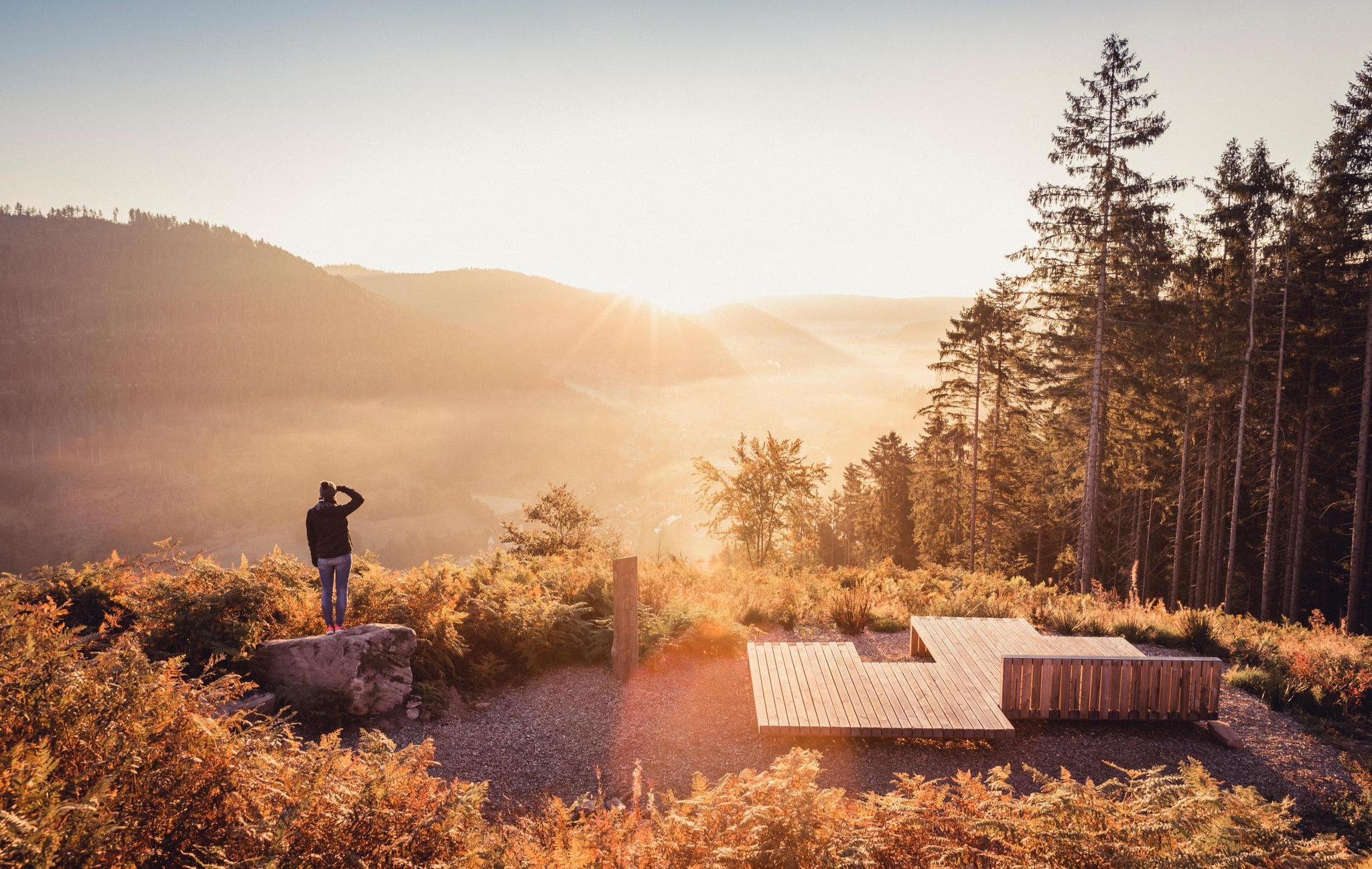
Autumn magic in the southwest – vibrant hiking in Baden-Württemberg
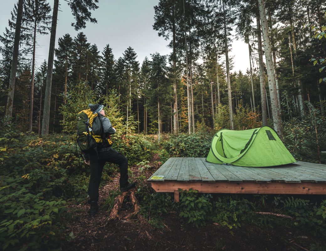
Special overnight stays and trekking camps in the Black Forest
Autumn views on Genießerpfade and quality Tours in the Black Forest
オーバーキルヒェでのの他の冒険


コミュニティからのヒント

オーバーキルヒ屋外プールは、レンヒタールにあるモダンな温水屋外プールです。スポーツをするスイマーと子供連れの家族の両方に理想的な広々とした施設を提供しています。 設備とハイライト • プールエリア:大きな50メートルプールと、別の非スイマー用プール。 • スライダーと楽しみ:特徴的な60メートルの巨大スライダーと、大きなウォーターマッシュルーム。 • ダイビング施設:1メートル、3メートル、5メートルの高さの飛び込み台を備えた、独立した深いダイビングエリア。 • 子供エリア:小さなスライダー、ウォータープレイ、砂場のある隣接する遊び場を備えた、独立した幼児用プール。 • 敷地:日陰を提供する木々のある広い芝生エリア、更衣室、温水シャワー、軽食を提供するキオスクまたは軽食店。
0
0
レンヒ川は全長57kmです。標高915mのツーフュクト近くに源を発します。ヘルムリンゲンでレンヒ川はライン川に合流します。
0
0
ザウシュテークは、かつてオーバーキルヒのヘッセルバッハとエツバッハ地区の住民にとってオーバーキルヒへの重要な接続でした。その名前は、隣接するオーバーキルヒ市の豚の放牧場に由来しています。
0
0
ザウステークは、かつてオーバーキルヒのヘッセルバッハとエッツバッハ地区の住民にとってオーバーキルヒへの重要な接続でした。その名前は、オーバーキルヒ市の隣接する豚の放牧地に由来しています。
1
0
レンヒ川は全長57kmです。水源は標高915mのZufluchtの近くにあります。ヘルムリンゲンでレンヒ川はライン川に合流します。
0
0

レンヒ川の右岸の道はハイカー専用です。サイクリングは川の流れ方向に沿って左岸のみ可能です。
0
0
The fish ladder at the Müllener weir in Oberkirch is a key component of the ecological restoration of the Rench River. It was constructed as part of a comprehensive project to restore ecological connectivity. Here are the most important details: Purpose & Goal: The structure allows migratory fish such as salmon and other salmonid species to reach their spawning and nursery habitats within the Rench River system. Historical Context: Between October 2007 and August 2008, approximately 200 weirs and 5 drops, including the Müllener weir, were modified to allow fish passage along a 9 km stretch of the river in the Oberkirch and Lautenbach area. Functionality: The modifications to the previously insurmountable obstacle have enabled fish to overcome the difference in elevation with less effort. Additional measures: Nearby (below the Sausteg footbridge and at the mouth of the Mühlbach stream), additional cold water pools were created as refuges for fish during summer heat.
1
0
The Rench is 57 km long. It rises near Zuflucht at an altitude of 915 m. The Rench flows into the Rhine near Helmlingen.
4
0

komootモバイルアプリでインスピレーションを得よう


さらに探索
他の地域の最高のランニングトレイル & ルートを見てみましょう。
