ゴッズヒルのおすすめランニングルート
4.2
(7)
267
ランナー
31
ランニング
ゴッズヒルでランニングを楽しめば、このエリアをより深く知ることができます。ランニングに適した美しいルートが見つかるように、komootがゴッズヒルでのルートのコレクション全体を評価して選び抜いた、人気ランニングトレイルをご紹介します。ルートをクリックして詳細を表示し、他のユーザーがアップロードした役立つ情報や写真を閲覧しましょう。
最終更新日: 8月 25, 2026
5.0
(2)
53
ランナー
20.2km
02:15
280m
280m
難しいジョギング. 標準以上のフィットネスレベルが必要です。 全般的に舗装された状態です。あらゆるスキルレベルに適しています。
20
ランナー
7.27km
00:51
120m
120m
中程度のジョギング. ある程度のフィットネスレベルが必要です。 全般的に舗装された状態です。あらゆるスキルレベルに適しています。

無料新規登録
22
ランナー
8.65km
00:59
130m
130m
中程度のジョギング. ある程度のフィットネスレベルが必要です。 全般的に舗装された状態です。あらゆるスキルレベルに適しています。
15
ランナー
9.78km
01:05
110m
110m
中程度のジョギング. ある程度のフィットネスレベルが必要です。 全般的に舗装された状態です。あらゆるスキルレベルに適しています。
5.0
(2)
15
ランナー
9.31km
01:01
120m
120m
中程度のジョギング. ある程度のフィットネスレベルが必要です。 全般的に舗装された状態です。あらゆるスキルレベルに適しています。
さらに多くのルートや他のユーザーのおすすめ情報を確認できます。
無料新規登録
すでにアカウントをお持ちですか?
おすすめのツアーは他のkomootユーザーが実際に経験した何千ものアクティビティに基づいています。
無料アカウントで今日から始めよう
次の冒険が待っています。
ログインまたは登録

コミュニティからのヒント

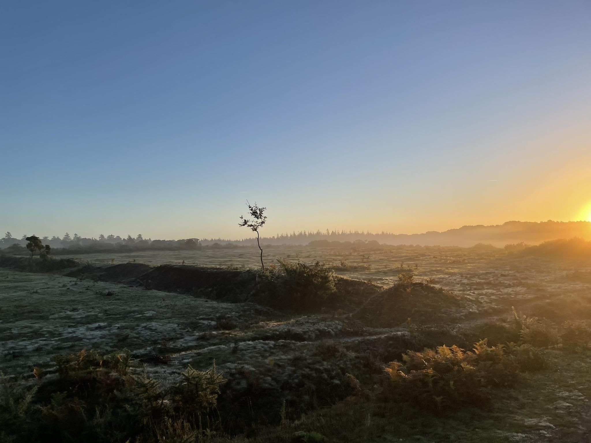
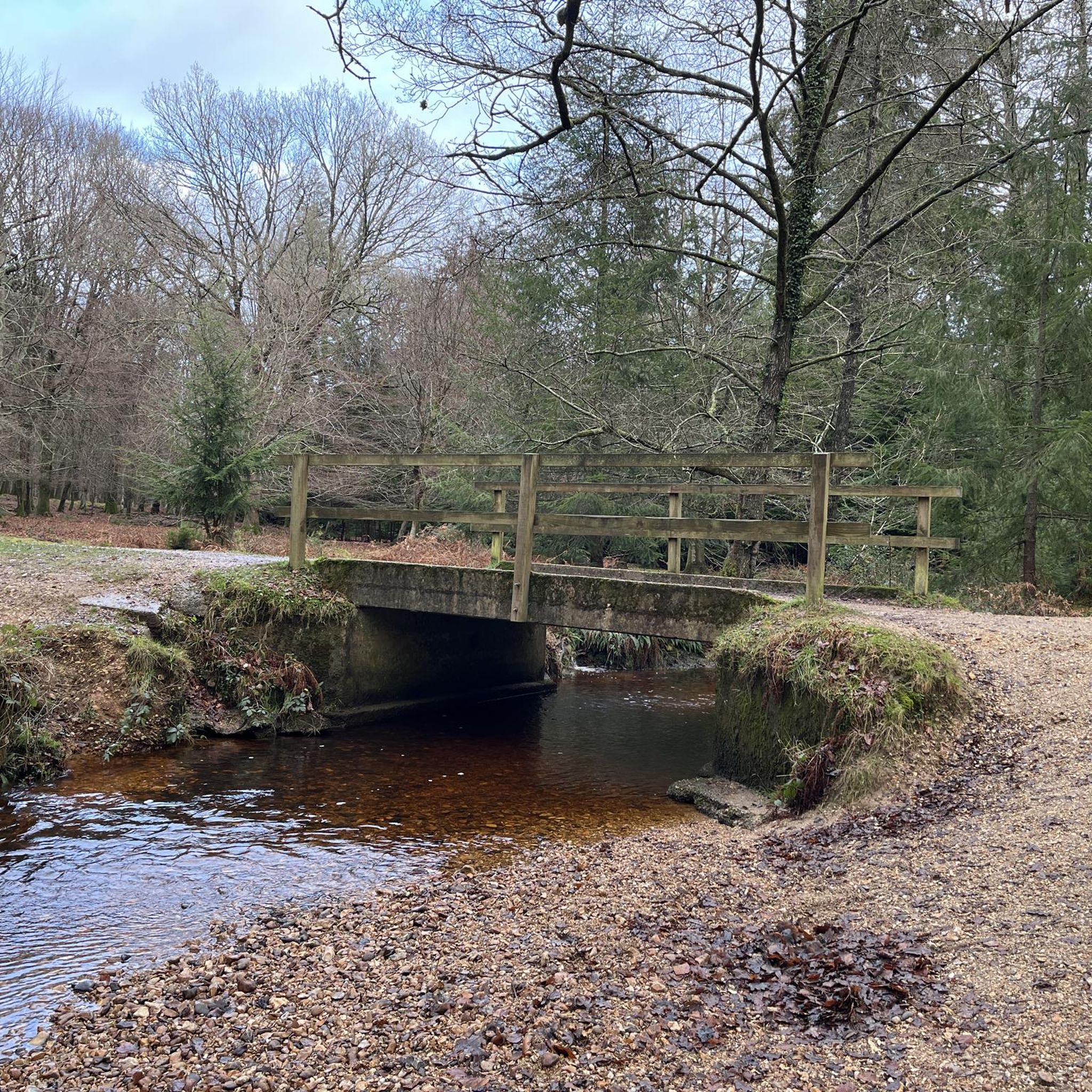
Holly Hatchコテージではイワツバメの巣を見ることができます。執筆時点では子育てをしていました。5月27日。これは珍しい光景だと思いますので、立ち寄る価値は十分にあります。コテージのすぐ手前にある小川も、とても静かで素敵なピクニックエリアです。
1
0

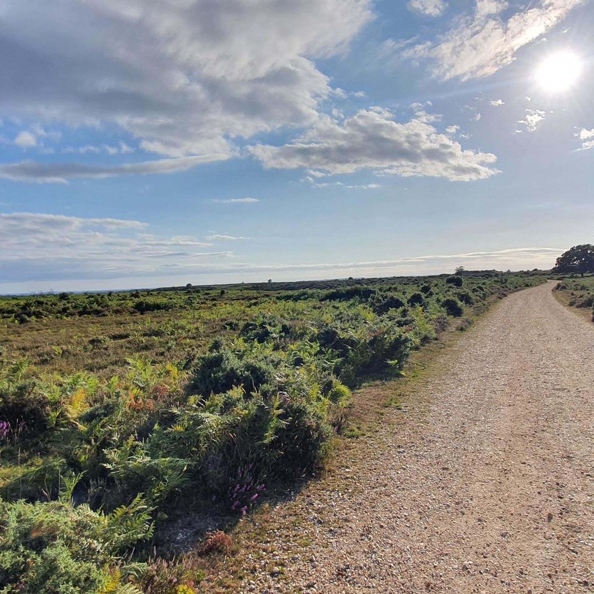
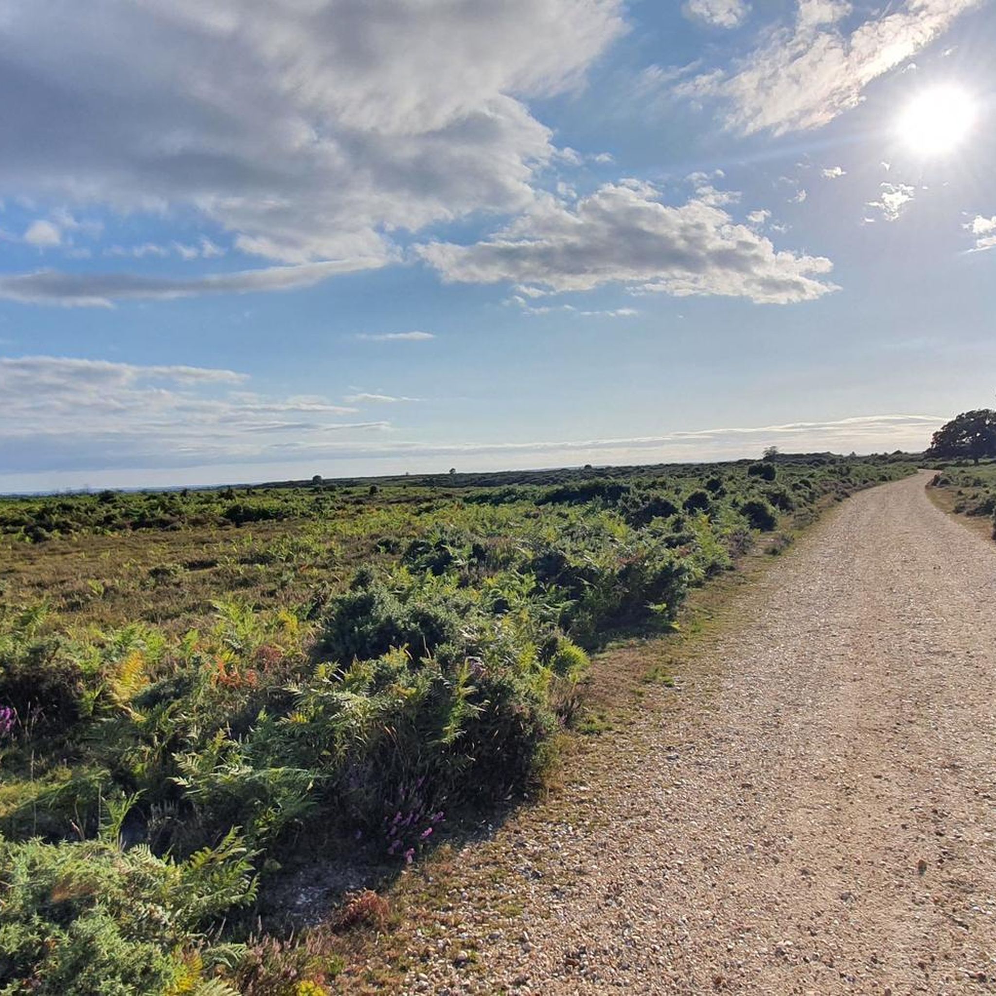
Picture in spring after dry winter
0
0

This is a gorgeous pub and well-worth stopping by for some well-deserved food and drink. There are log fires here and a play area for children, so whether you are on your own, with friends or family, you will enjoy it.
1
0

Ashley Walk bombing range was used by aircraft flying from the Aeroplane & Armament Experimental Establishment (A&AEE) at RAF Boscombe Down, nr Salisbury. The range was used for training and testing, all types of munitions fired and or dropped from British aircraft were tested here first, except live incendiaries due to the fire risk. The range consisted of several different target types including air to ground attack, mock ship targets, aircraft pens, gun emplacement, bomb fragmentation areas and the Ministry of Home Security target (known locally as the Sub Pens) as well as domestic facilities for crew, two small grass airstrips, observation shelters and towers. The range was split with one area for inert ordnance only. The site was also used day and night with one, the illumination target specifically for night raid practice. The whole range was used extensively throughout the war, creating many bomb craters and even an aircraft crash site. Activities continued until 1946, but the range was not fully cleared until 1948. The vast majority of targets and facilities were removed, although various features such as the concrete illuminated target arrow and the various chalk marks still survive. The Ministry of Home Security target was covered over with an earth mound and remains visible today near to one of the surviving observation shelters. Some craters were filled, but many were left open.
1
0
Dockens Water and Holly Hatch Cottage, New Forest The white building is Holly Hatch Cottage, a Forest Keeper's residence - one of the more remote dwellings in the New Forest. In the foreground is the concrete ford across Dockens Water, with the stream water passing beneath via plastic tubes. Dockens Water eventually joins the River Avon near Ibsley.
1
0
Hallickshole Hill is a conical sandy knoll on the heath between Hasley Hill and Watergreen Bottom.
0
0
Fritham is one of the New Forest’s most popular walking locations. This circular walk through mixed woodland cuts through two inclosures before you enjoy the sweeping views from the open expanse of Fritham Plain.
0
0
ゴッズヒルでのの人気観光スポット

komootモバイルアプリでインスピレーションを得よう


さらに探索
他の地域の最高のランニングトレイル & ルートを見てみましょう。
