リーフェンスベルクのおすすめ登山&山歩きルート
4.7
(182)
1,608
ハイカー
80
ハイキング
ブレゲンツァーヴァルトの山々をもっと探索しませんか?このガイドでご紹介するのは、komootがリーフェンスベルクでの登山&山歩きのコレクション全体を評価して選び抜いた、このエリアの人気ルートです。あなたに合ったルートを見つけるには、他のユーザーがアップロードした役立つ情報や写真を閲覧し、クリック操作で簡単に表示できる詳細なデータを参考にしましょう。リーフェンスベルクでの次の冒険にぴったりの登山&山歩きルートが見つかるはずです。
最終更新日: 10月 5, 2026
5.0
(3)
19
ハイカー
12.4km
04:48
770m
770m
難しい登山ルート. ある程度のフィットネスレベルが必要です。 安定して歩行できる技術、丈夫な靴、高標高地での登山経験が必要です。
5.0
(1)
12
ハイカー
17.0km
07:00
930m
930m
難しい登山ルート. 標準以上のフィットネスレベルが必要です。 安定して歩行できる技術、丈夫な靴、高標高地での登山経験が必要です。

13
ハイカー
9.07km
03:56
680m
680m
中程度の登山ルート. ある程度のフィットネスレベルが必要です。 全般的に進みやすいルートです。安定して歩行できる技術が必要です。
10
ハイカー
16.2km
05:45
800m
800m
難しい登山ルート. 標準以上のフィットネスレベルが必要です。 安定して歩行できる技術、丈夫な靴、高標高地での登山経験が必要です。
4.0
(2)
4
ハイカー
12.2km
04:06
610m
610m
中程度の登山ルート. ある程度のフィットネスレベルが必要です。 進みやすいルートです。あらゆるスキルレベルに適しています。
さらに多くのルートや他のユーザーのおすすめ情報を確認できます。
すでにアカウントをお持ちですか?
おすすめのツアーは他のkomootユーザーが実際に経験した何千ものアクティビティに基づいています。




コミュニティからのヒント


プラッタコプフへの登り/下り。楽しいですが、下りはほとんど足場がなく、真下に降りるため非常に困難です。自信のない方は、ワイヤーロープハーネスを使用することもできます。DAVの警告はそこに正当にあります。
2
0

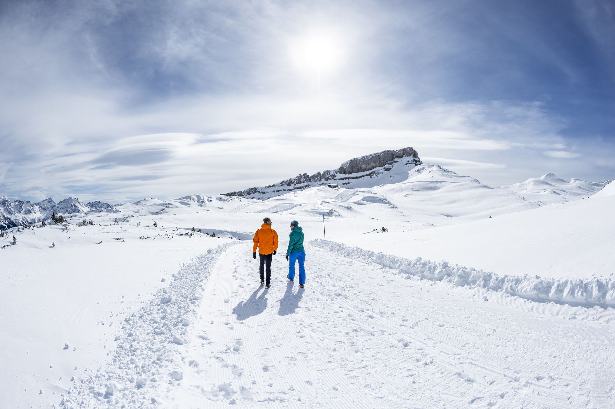
A lovely place to stop for refreshments with a fantastic view - located directly on the groomed winter hiking trail.
0
0

The Stone Gate in the Nagelfluhkette Nature Park is a striking rock formation through which the path leads like a natural rock portal. Between the steep walls, you'll experience a true alpine and adventure feeling before the path opens up again. It's an ideal photo opportunity and a short highlight stop on your hike.
7
0
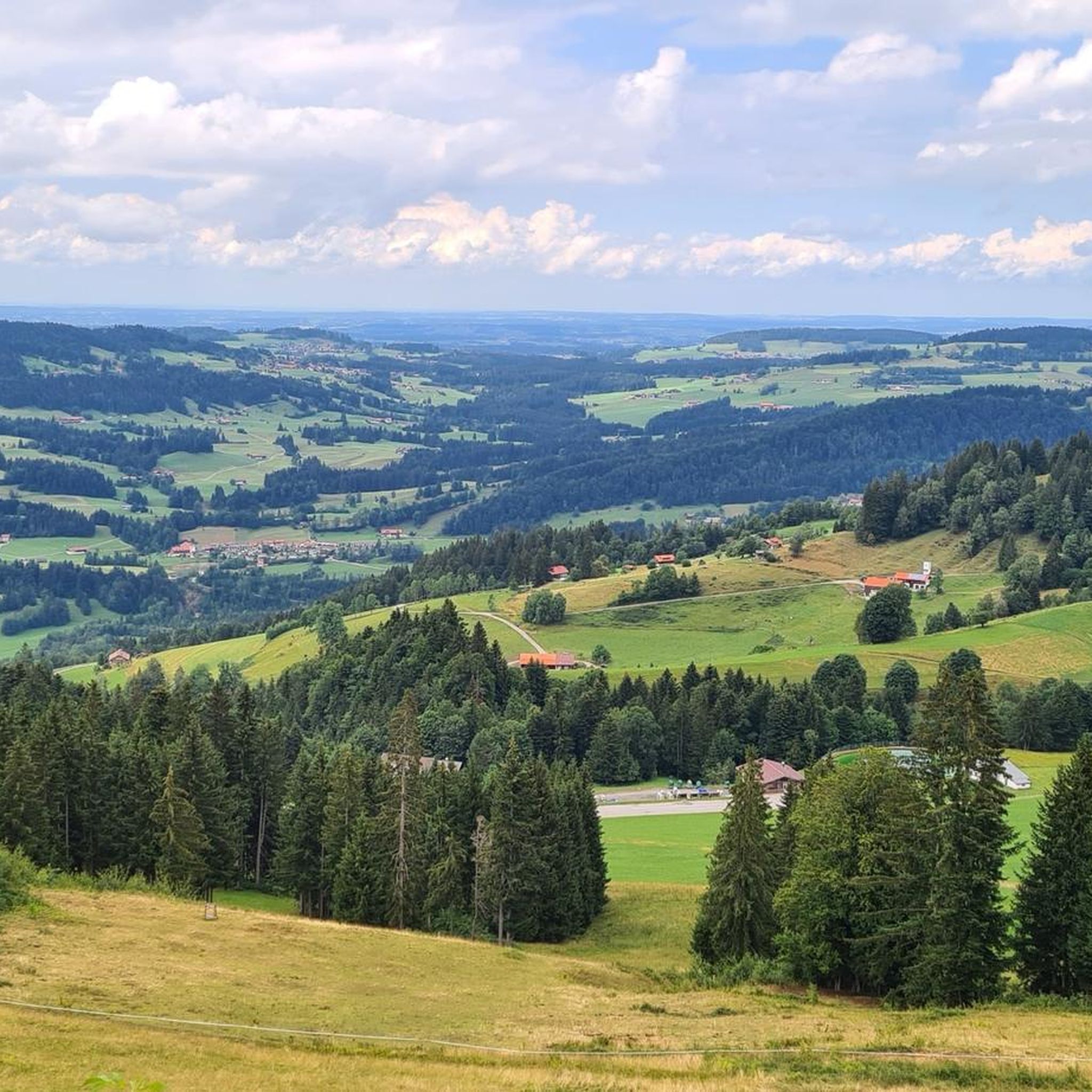
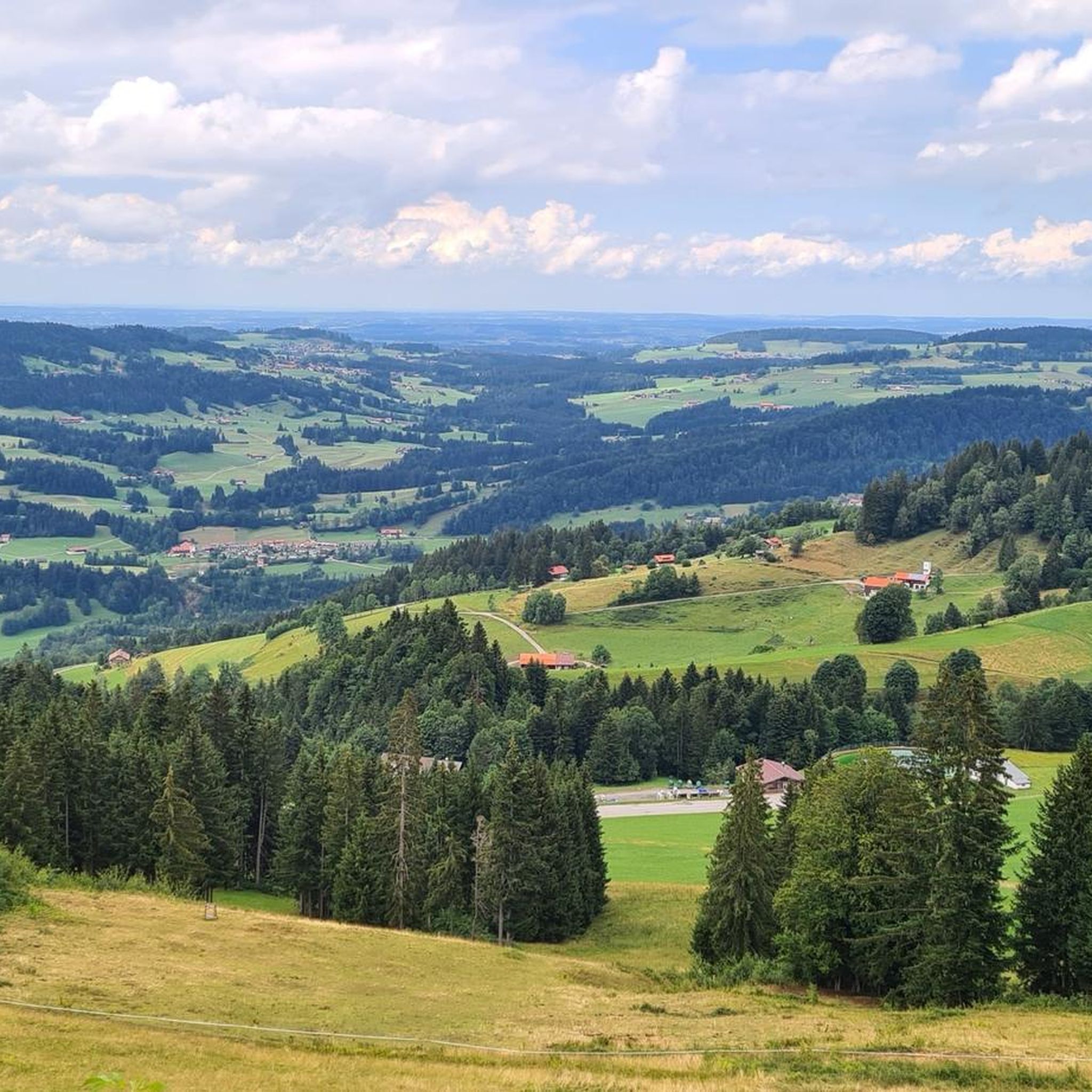
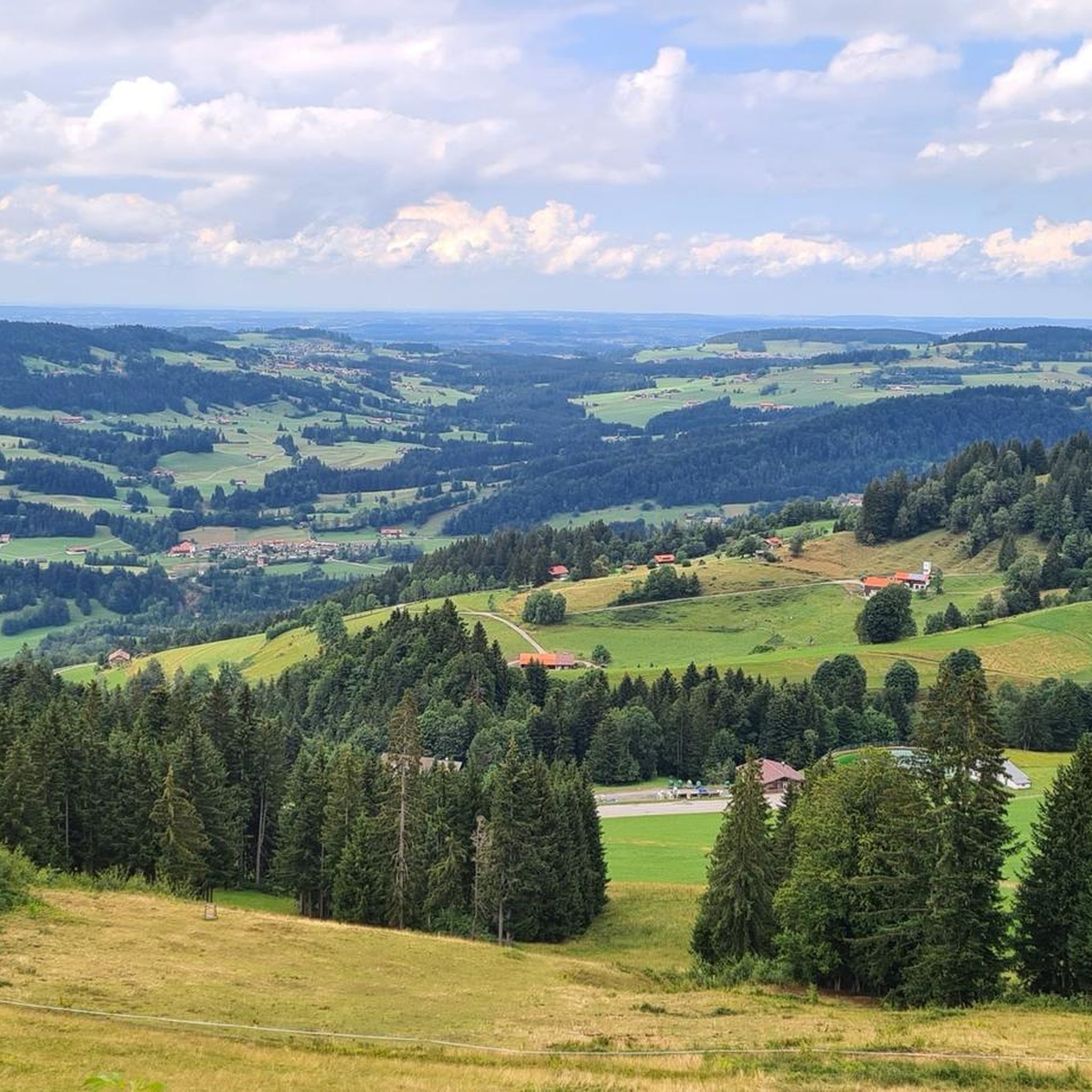
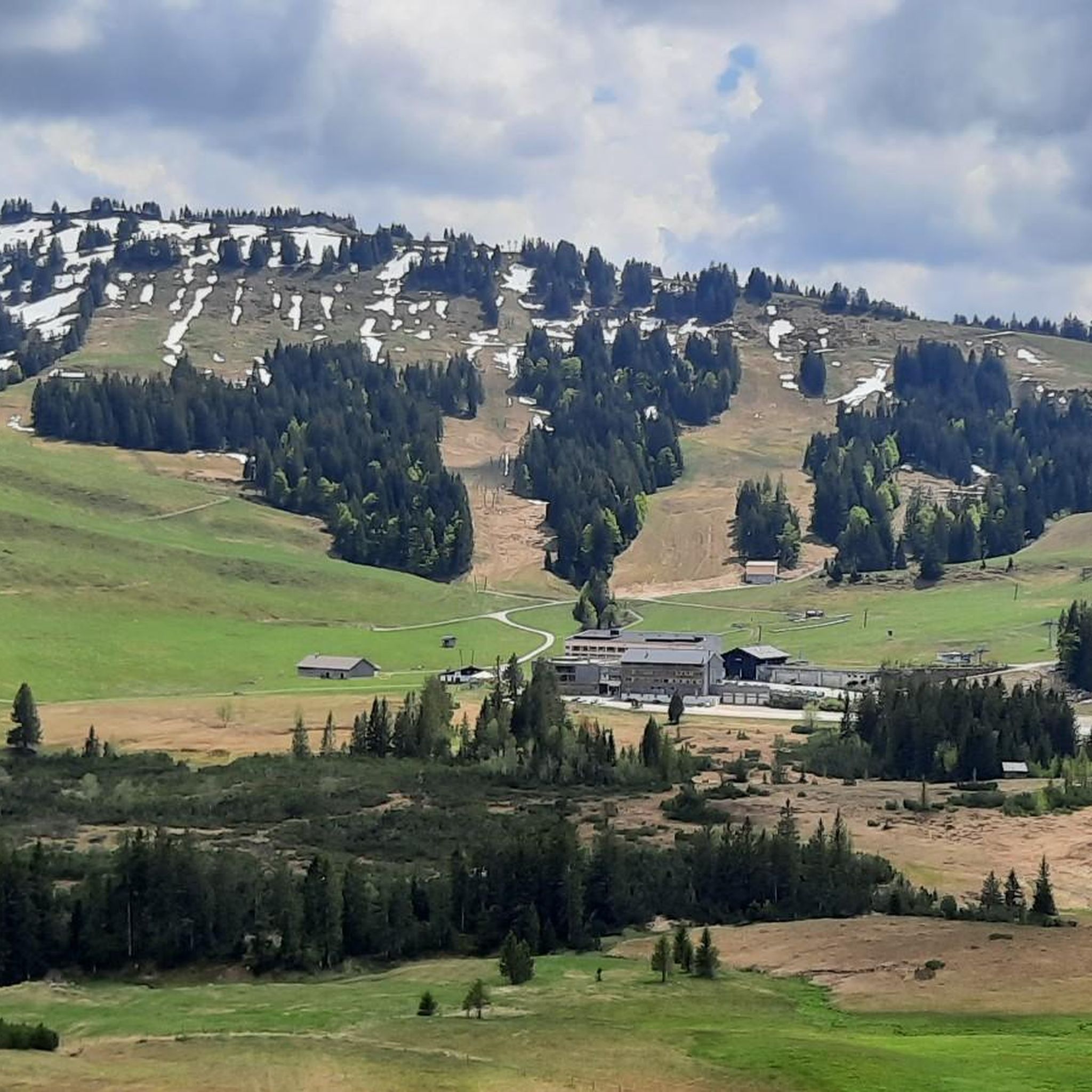
From this vantage point, you can enjoy an impressive view of the Nagelfluh mountain range, whose peaks rise like a jagged line above the valley. Depending on the light, the mountains appear either softly green or ruggedly alpine. It's the perfect panoramic stop for a short break, a photo, and a moment of wonder.
6
0

It's outrageous that they forbid walking with a dog on a public, marked hiking trail – just because it crosses the property. An alternative route MUST be found, for example, going around the property instead of directly past the house. Today I simply walked across the meadow – only to discover that dogs are also prohibited on the ridge trail 🙈 Unfortunately, we can't fly. There was NEVER any sign indicating that this is a dead end! I would never recommend this alpine pasture.
3
0


Wonderful views around the Hochgratbahn mountain station.
1
0

komootモバイルアプリでインスピレーションを得よう


さらに探索
他の地域の最高の登山ハイキング & ルートを見てみましょう。
