シュタインバッハアンデアシュタインのおすすめ登山&山歩きルート
4.5
(42)
732
ハイカー
16
ハイキング
キルヒドルフアンデアクレムスの山々をもっと探索しませんか?このガイドでご紹介するのは、komootがシュタインバッハアンデアシュタインでの登山&山歩きのコレクション全体を評価して選び抜いた、このエリアの人気ルートです。あなたに合ったルートを見つけるには、他のユーザーがアップロードした役立つ情報や写真を閲覧し、クリック操作で簡単に表示できる詳細なデータを参考にしましょう。シュタインバッハアンデアシュタインでの次の冒険にぴったりの登山&山歩きルートが見つかるはずです。
最終更新日: 10月 5, 2026
4.5
(2)
174
ハイカー
難しい登山ルート. ある程度のフィットネスレベルが必要です。 安定して歩行できる技術、丈夫な靴、高標高地での登山経験が必要です。
4.6
(9)
145
ハイカー
6.83km
03:20
590m
590m
中程度の登山ルート. ある程度のフィットネスレベルが必要です。 全般的に進みやすいルートです。安定して歩行できる技術が必要です。

4.7
(7)
88
ハイカー
9.47km
04:57
850m
850m
中程度の登山ルート. ある程度のフィットネスレベルが必要です。 全般的に進みやすいルートです。安定して歩行できる技術が必要です。
4.9
(8)
77
ハイカー
11.5km
05:03
830m
830m
難しい登山ルート. 標準以上のフィットネスレベルが必要です。 全般的に進みやすいルートです。安定して歩行できる技術が必要です。
4.7
(3)
49
ハイカー
11.2km
05:10
900m
900m
難しい登山ルート. 標準以上のフィットネスレベルが必要です。 全般的に進みやすいルートです。安定して歩行できる技術が必要です。
さらに多くのルートや他のユーザーのおすすめ情報を確認できます。
すでにアカウントをお持ちですか?
おすすめのツアーは他のkomootユーザーが実際に経験した何千ものアクティビティに基づいています。
無料アカウントで今日から始めよう
次の冒険が待っています。
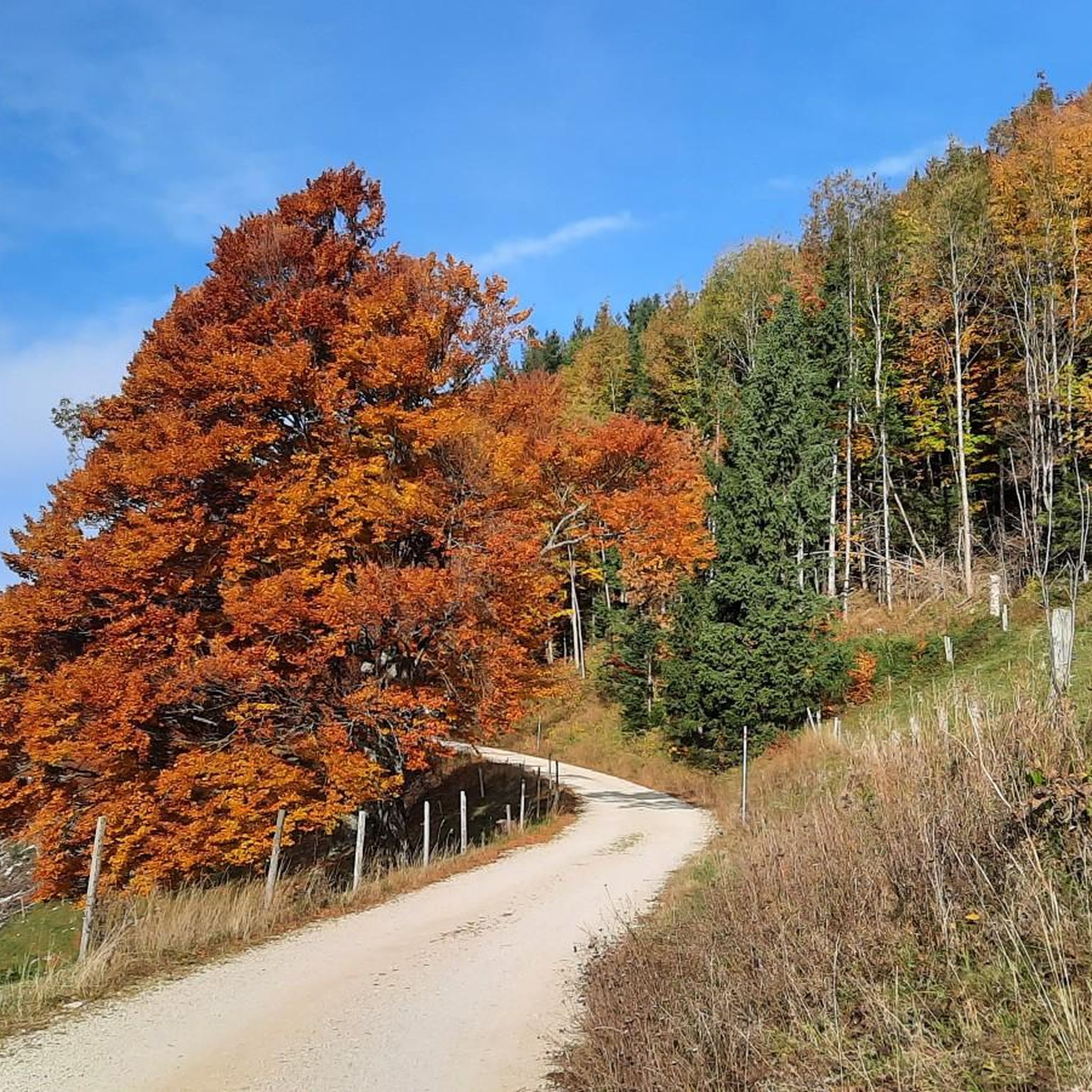
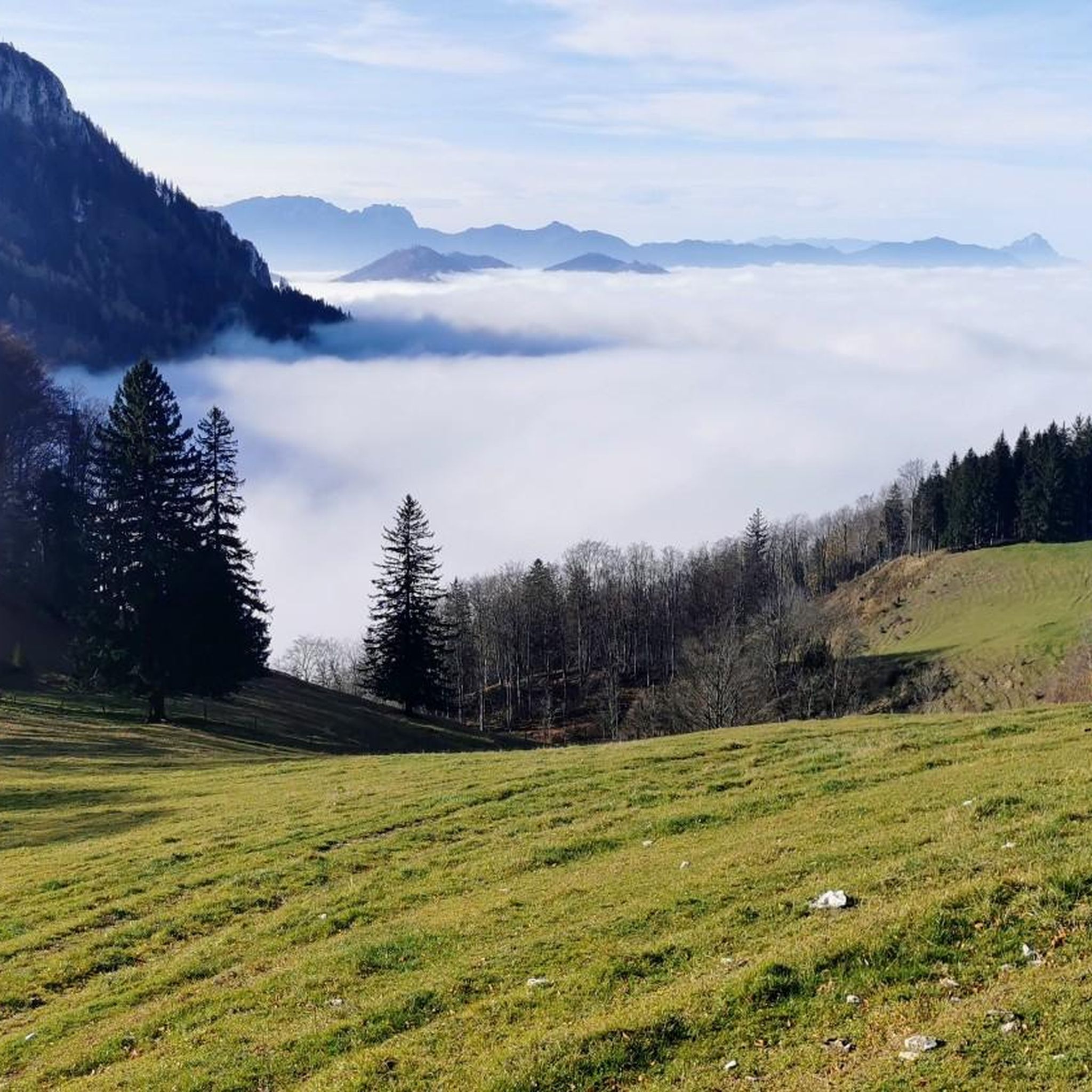
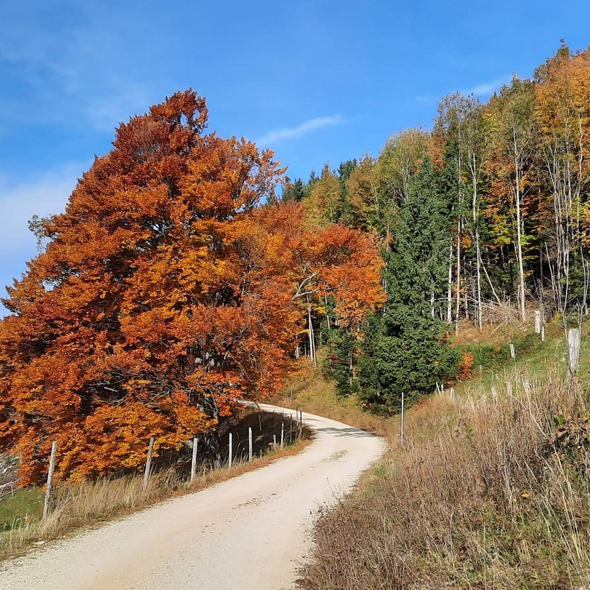
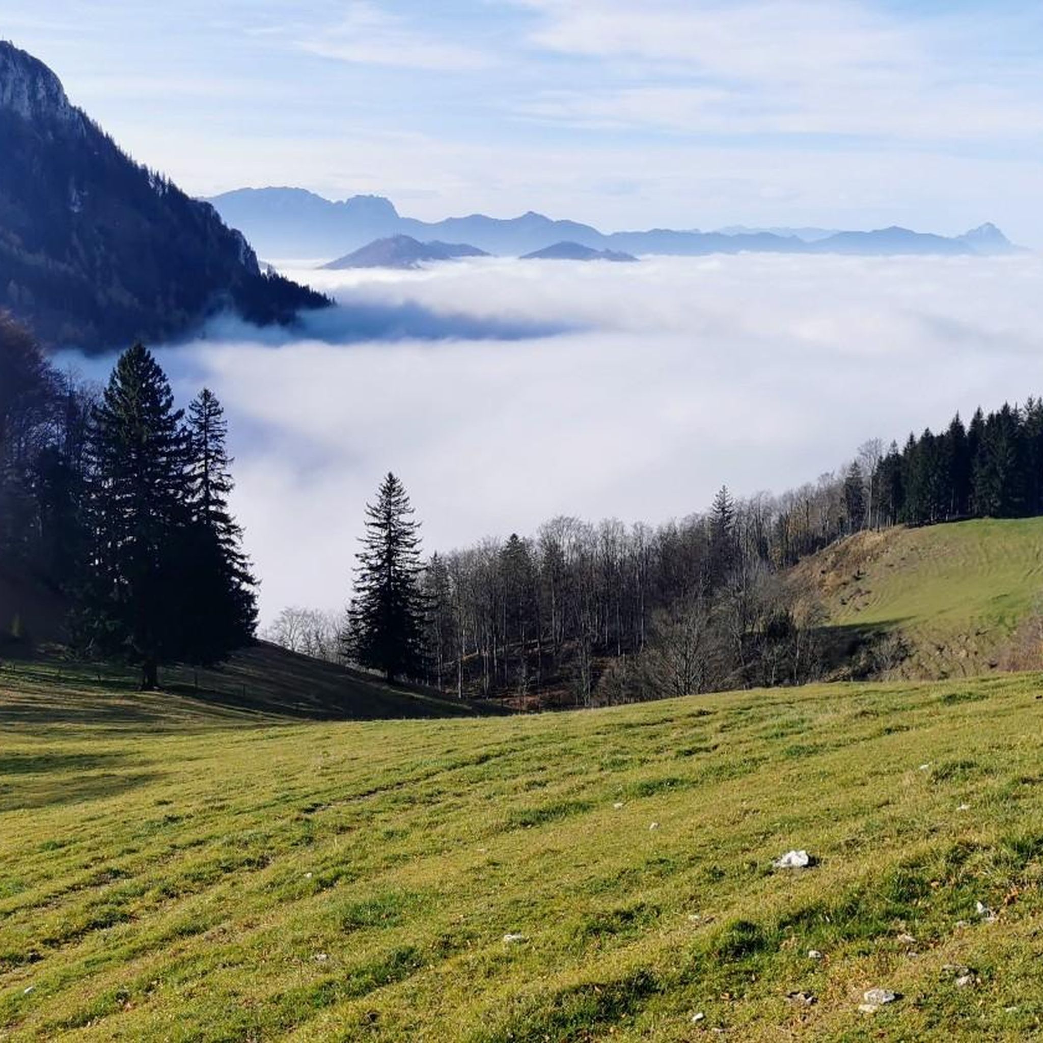
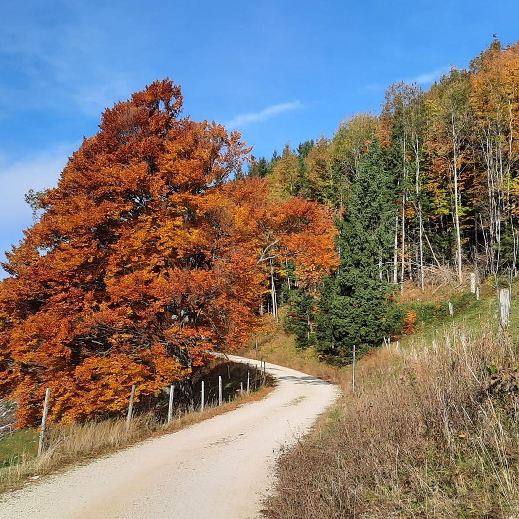
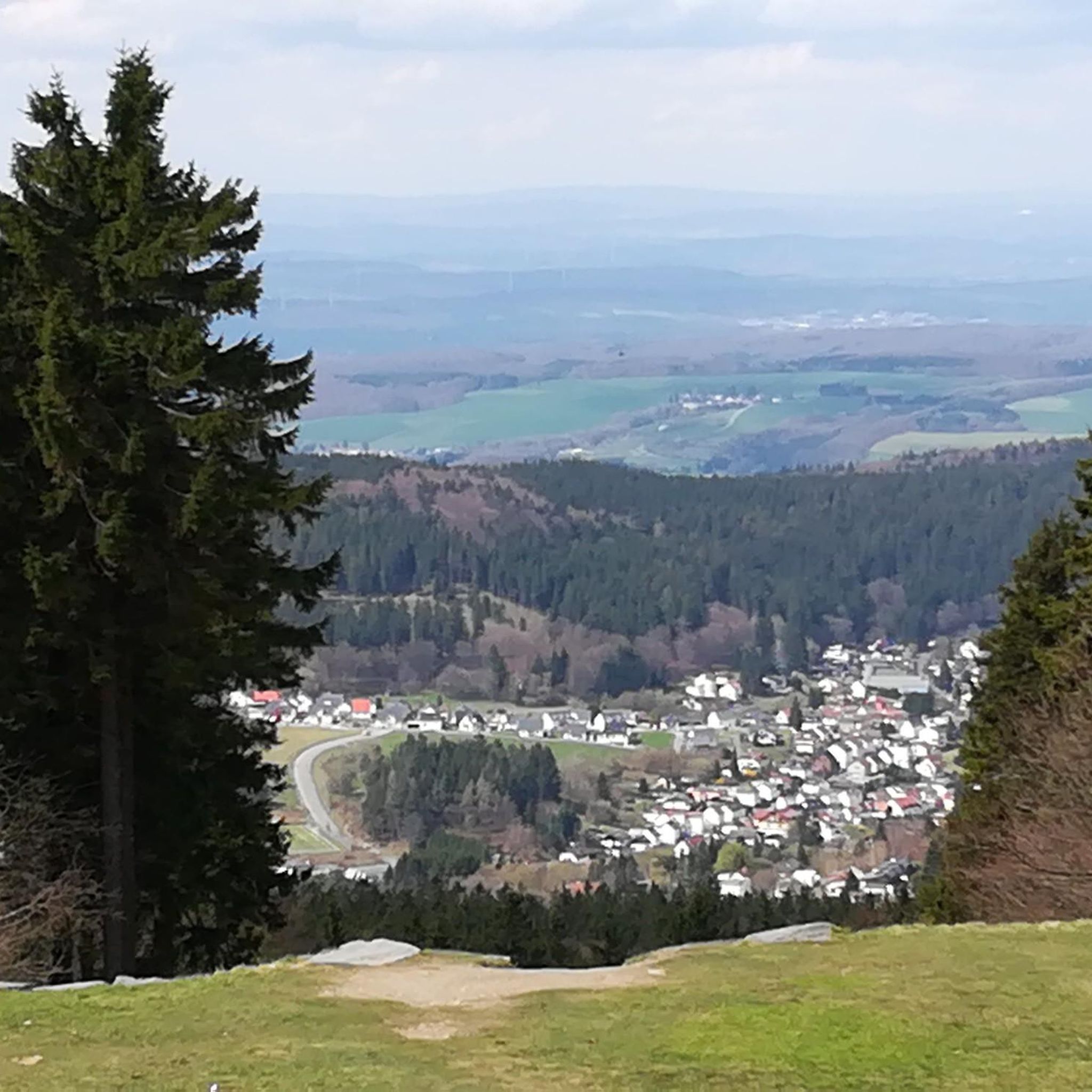
コミュニティからのヒント


ゲイスベルクの山頂十字架の前でくつろぐハイカーのために、眺めを楽しむだけでなく、現代における最も影響力のあるキリスト教弁証家の一人」とウィキペディアが称賛するクライヴ・ステープルズ・ルイス(1898年~1963年)の核心的な言葉を、眺める人に提供します。 + 「私はキリスト教を信じます。それは、太陽が昇ったことを信じるのと同じです。なぜなら、それを見るからだけでなく、それを通して他のすべてを見ることができるからです。」
0
0

The multi-peaked mountain ridge of the Schoberstein group stretches from west to east.
6
0
The multi-peaked mountain ridge of the Schoberstein group stretches from west to east.
5
0
Magnificent views of the Steyrtal National Park region
5
0
The memorial plaque is a visible sign of the early alpine work of the nature enthusiasts and a popular resting point on the way to the summit.
5
0
シュタインバッハアンデアシュタインでのの人気観光スポット

komootモバイルアプリでインスピレーションを得よう


さらに探索
他の地域の最高の登山ハイキング & ルートを見てみましょう。
