ヨッホベルクのおすすめ登山&山歩きルート
4.8
(83)
868
ハイカー
64
ハイキング
キッツビュールの山々をもっと探索しませんか?このガイドでご紹介するのは、komootがヨッホベルクでの登山&山歩きのコレクション全体を評価して選び抜いた、このエリアの人気ルートです。あなたに合ったルートを見つけるには、他のユーザーがアップロードした役立つ情報や写真を閲覧し、クリック操作で簡単に表示できる詳細なデータを参考にしましょう。ヨッホベルクでの次の冒険にぴったりの登山&山歩きルートが見つかるはずです。
最終更新日: 10月 11, 2026
5.0
(1)
34
ハイカー
14.4km
05:49
1,060m
1,060m
難しい登山ルート. 標準以上のフィットネスレベルが必要です。 安定して歩行できる技術、丈夫な靴、高標高地での登山経験が必要です。
5.0
(1)
17
ハイカー
11.2km
03:41
500m
500m
中程度の登山ルート. ある程度のフィットネスレベルが必要です。 全般的に進みやすいルートです。安定して歩行できる技術が必要です。

15
ハイカー
12.4km
04:54
860m
860m
難しい登山ルート. ある程度のフィットネスレベルが必要です。 安定して歩行できる技術、丈夫な靴、高標高地での登山経験が必要です。
5.0
(1)
15
ハイカー
16.4km
05:49
970m
970m
難しい登山ルート. 標準以上のフィットネスレベルが必要です。 進みやすいルートです。あらゆるスキルレベルに適しています。
5.0
(1)
10
ハイカー
8.30km
02:31
290m
290m
中程度の登山ルート. ある程度のフィットネスレベルが必要です。 進みやすいルートです。あらゆるスキルレベルに適しています。
さらに多くのルートや他のユーザーのおすすめ情報を確認できます。
すでにアカウントをお持ちですか?
おすすめのツアーは他のkomootユーザーが実際に経験した何千ものアクティビティに基づいています。
無料アカウントで今日から始めよう
次の冒険が待っています。
ヨッホベルク周辺で人気
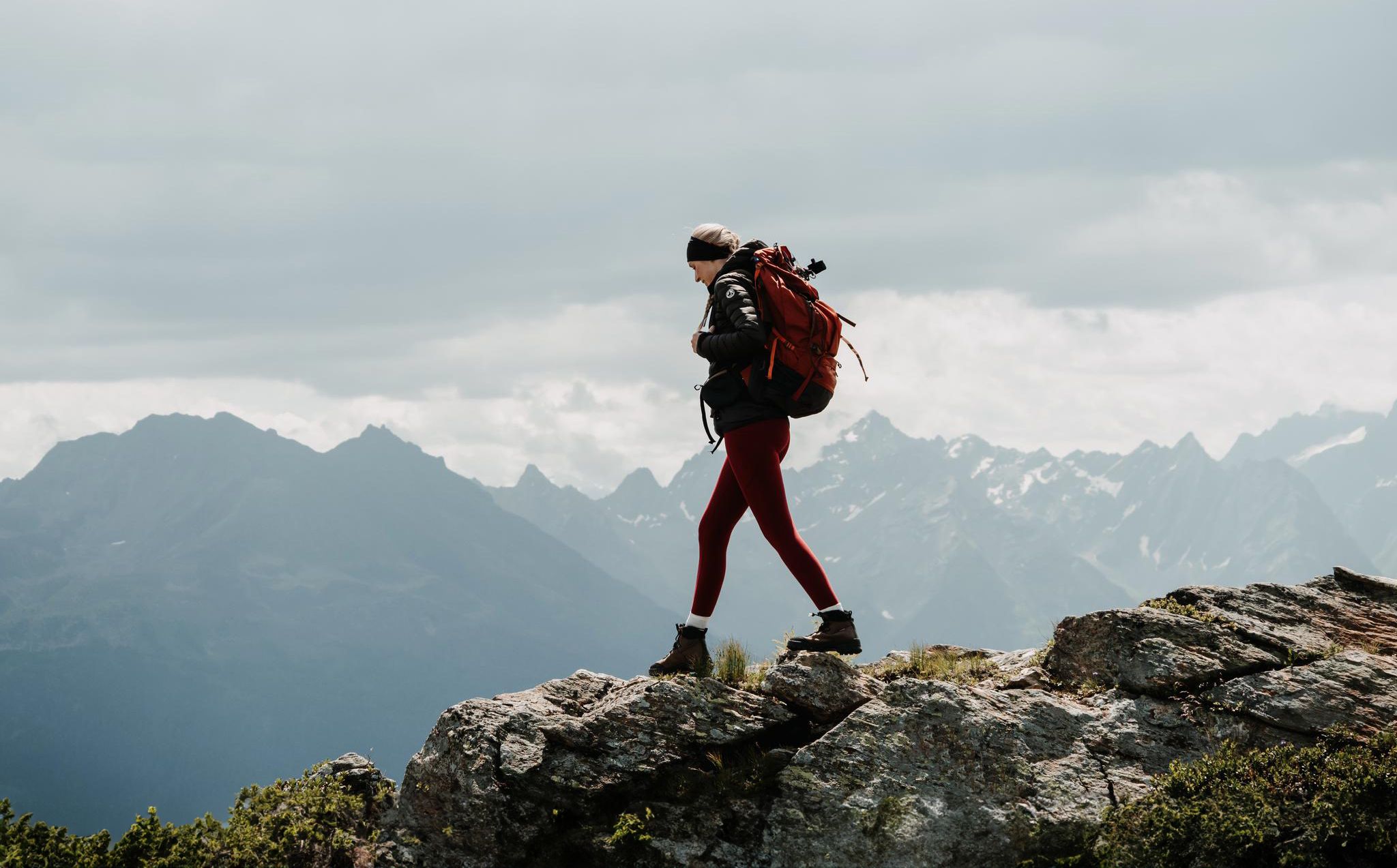
Happy moments on long-distance hikes – hiking summer of your life
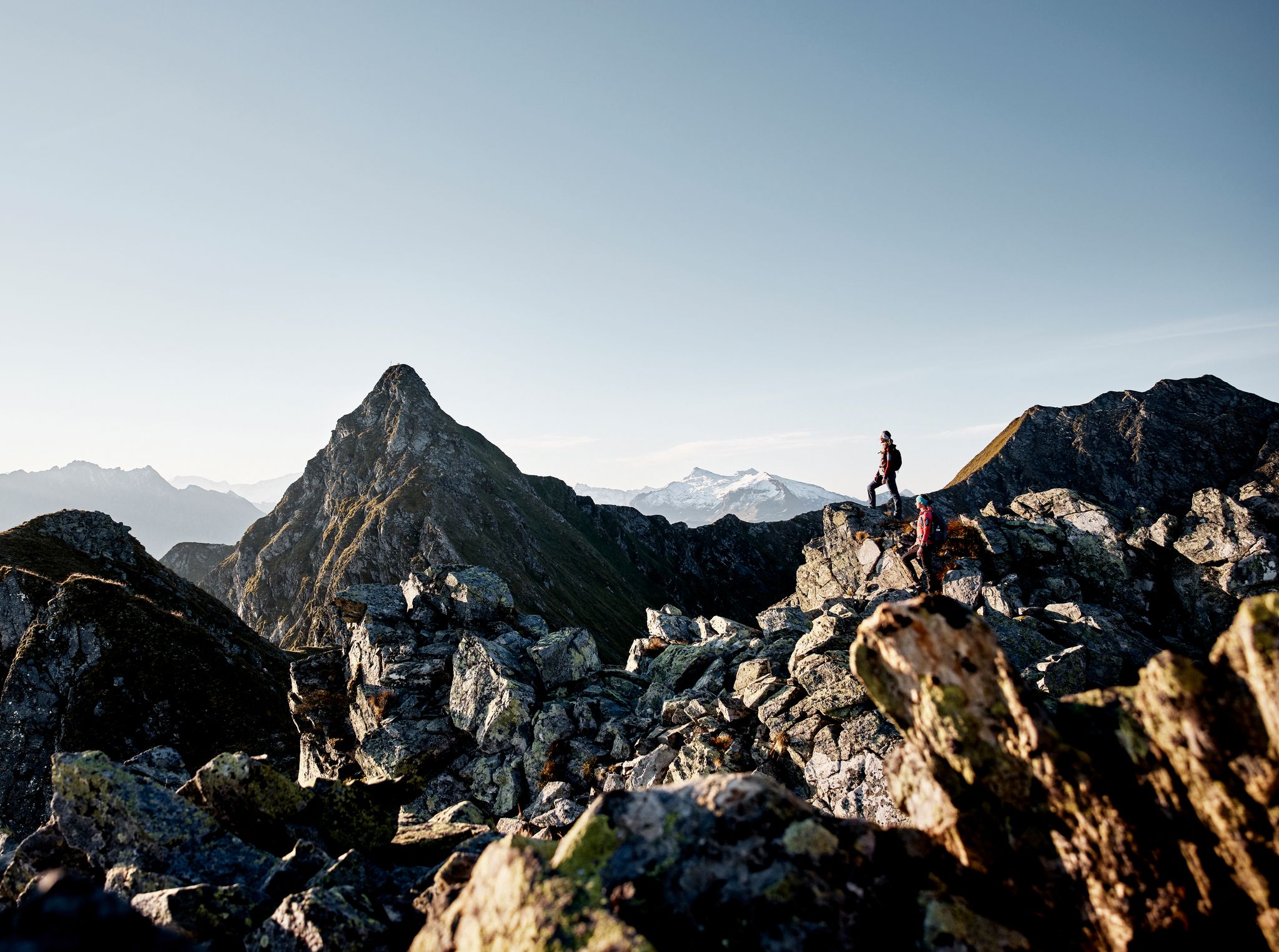
Your adventure is waiting – our ten favourite mountain Tours
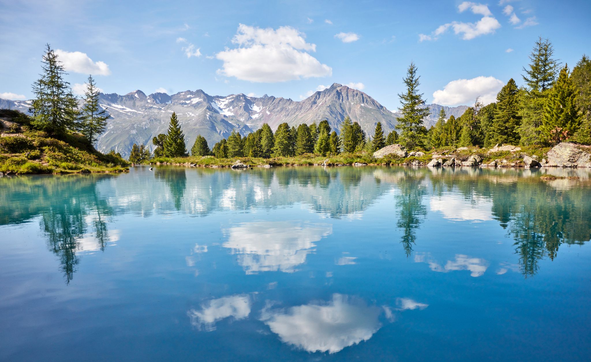
You don't need the sea when you’re Austria – hikes to incredible water spots
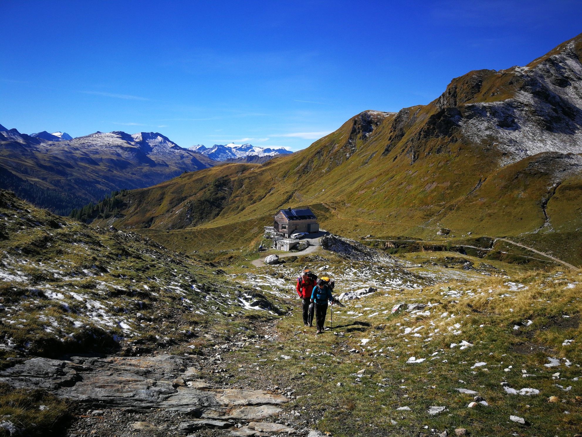
Lower Austria to Carinthia — our favourite huts in Austria
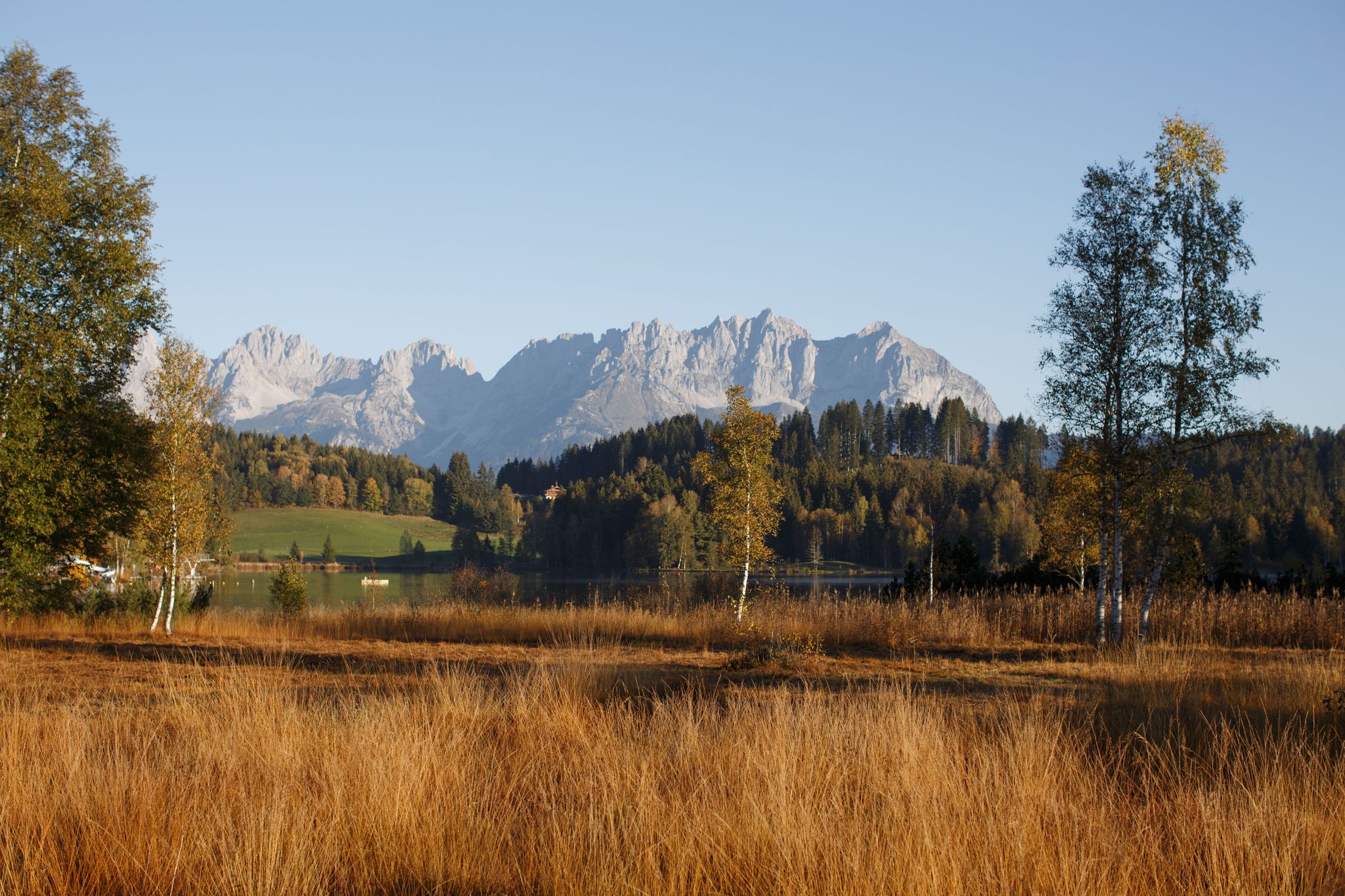
#Gourmet moments in the Kitzbühel mountains
ヨッホベルクでののグラベルライド
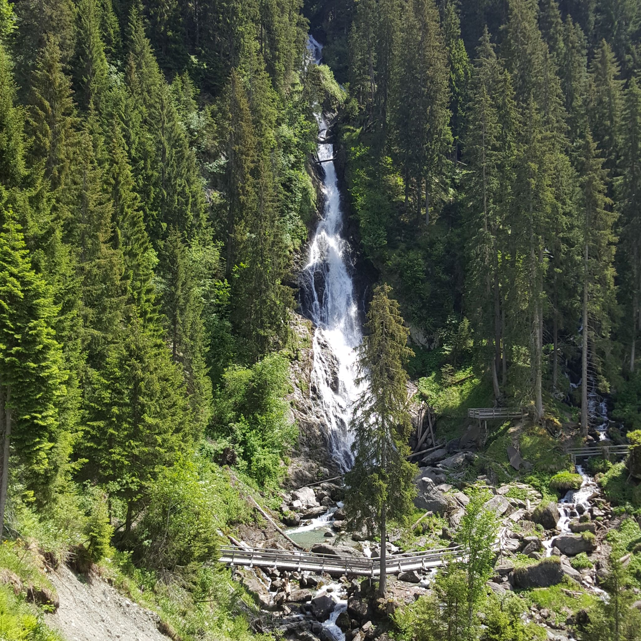
ヨッホベルクでのハイキング
ヨッホベルクのロードバイクルート
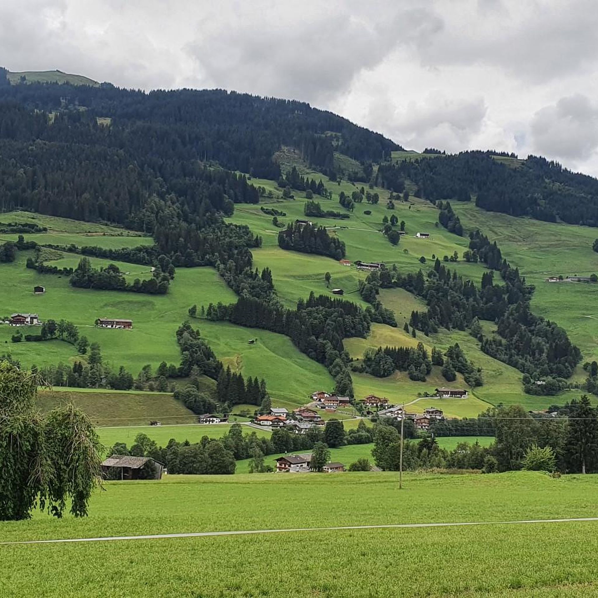
ヨッホベルクのMTBトレイル
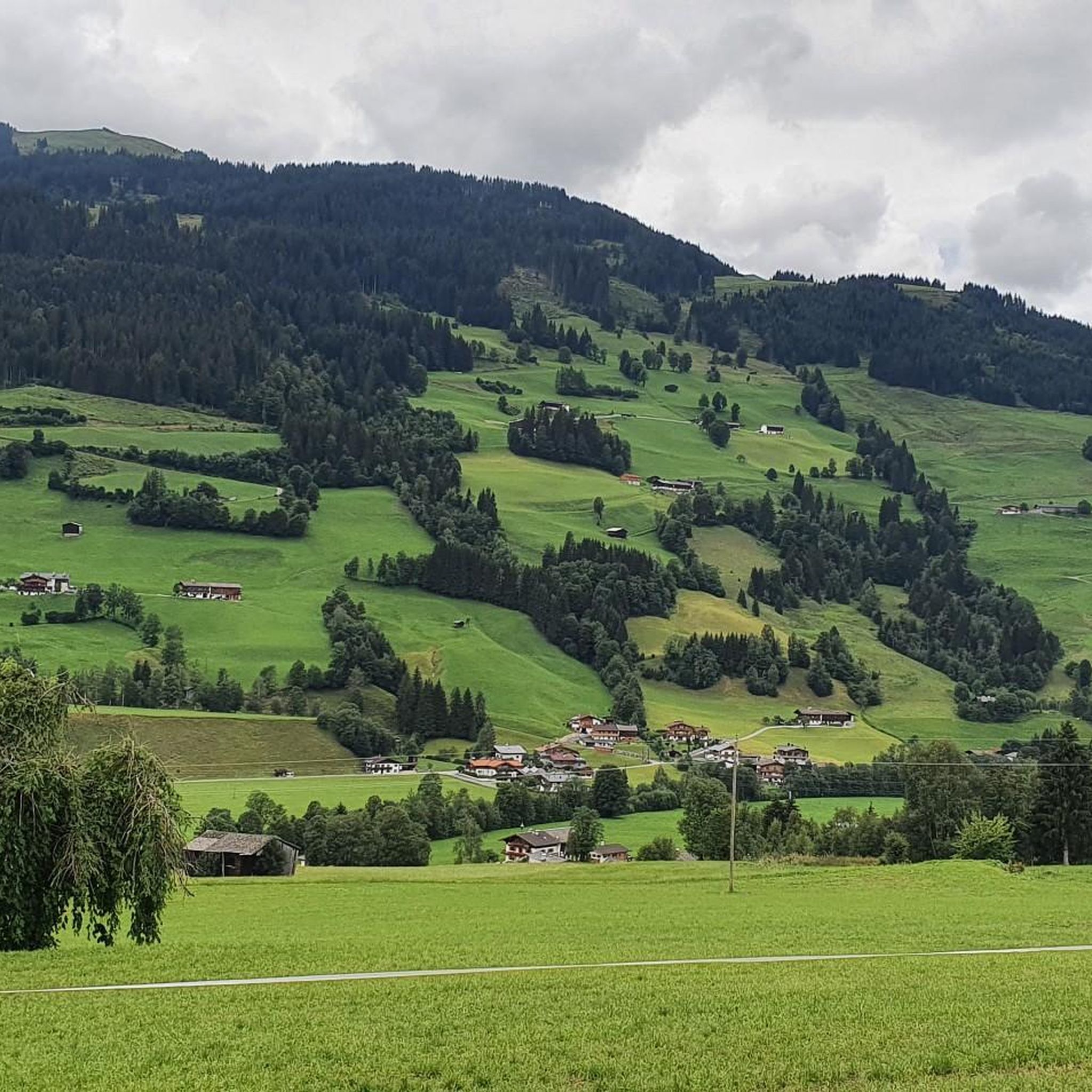
ヨッホベルクでのサイクリング
ヨッホベルクでのの他の冒険


コミュニティからのヒント


Great food, friendly service and a complimentary schnapps :)
0
0

The Gamshag (2,178 m) is a particularly impressive peak in the Kitzbühel Alps and a true hiking highlight at the head of the Saalbach-Hinterglemm valley. This technically easy tour leads mostly via the Bochumer Hütte and the picturesque "Tor" pass, as well as the idyllic Torsee lake, to the summit, from where spectacular views of the Venediger Group, the Wilder Kaiser, and the Steinernes Meer massif await.
3
0
The Tristkogel, at 2,095 meters, is a striking and challenging peak at the head of the Saalbach-Hinterglemm valley, rewarding experienced hikers with breathtaking panoramic views. The ascent mostly proceeds via the Bochumer Hütte and the Oberkaseralm, passing alpine meadows and rockier passages. The summit offers an impressive panorama of the Hohe Tauern, the Wilder Kaiser, and the Leoganger Steinberge mountains – a worthwhile highlight for sure-footed mountaineers.
4
0
The Saalkogel, at 2,006 meters, is a peaceful and scenic peak at the head of the Saalbach-Hinterglemm valley, making it particularly suitable for long hikes. The ascent leads across rolling alpine meadows and broad ridges and is technically easy but physically demanding. From the summit, there are sweeping views of the Leogang and Lofer Steinberge mountains and as far as the Wilder Kaiser – a tranquil spot for those who enjoy alpine expanse.
3
0

Highly recommended, descent requires experience
1
1

Great views all around, including the Großvenediger.
1
0

Beautiful viewpoint, easy to reach. Approx. 10 minutes from the mountain station Zweitausender
0
0

komootモバイルアプリでインスピレーションを得よう


さらに探索
他の地域の最高の登山ハイキング & ルートを見てみましょう。
