ヨッホベルクのおすすめウォーキング&ハイキングルート
4.5
(17946)
96,936
ハイカー
43
ハイキング
ヨッホベルク 周辺でおすすめのハイキングやウォーキングを楽しんでいただけるように、このエリアの小径やルートを集めたkomootコレクション全体を見直しました。 以下で各ルートの詳細をご覧になり、ヨッホベルク周辺の大自然を満喫する際の参考にしてください。
最終更新日: 10月 10, 2026
4.8
(167)
601
ハイカー
9.24km
03:29
500m
500m
Hike the moderate 5.7-mile Sintersbacher Wasserfall Runde in the Kitzbüheler Alpen, featuring a powerful 85-meter waterfall.
4.7
(205)
943
ハイカー
10.0km
03:09
420m
420m
中程度のハイキング. ある程度のフィットネスレベルが必要です。 進みやすいルートです。あらゆるスキルレベルに適しています。

4.8
(100)
528
ハイカー
6.91km
02:43
390m
390m
中程度のハイキング. ある程度のフィットネスレベルが必要です。 全般的に進みやすいルートです。安定して歩行できる技術が必要です。
4.4
(12)
64
ハイカー
19.7km
07:36
1,230m
1,240m
難しいハイキング. 標準以上のフィットネスレベルが必要です。 全般的に進みやすいルートです。安定して歩行できる技術が必要です。
4.8
(11)
64
ハイカー
15.6km
05:25
700m
700m
難しいハイキング. 標準以上のフィットネスレベルが必要です。 全般的に進みやすいルートです。安定して歩行できる技術が必要です。
さらに多くのルートや他のユーザーのおすすめ情報を確認できます。
すでにアカウントをお持ちですか?
おすすめのツアーは他のkomootユーザーが実際に経験した何千ものアクティビティに基づいています。
無料アカウントで今日から始めよう
次の冒険が待っています。
ヨッホベルク周辺で人気
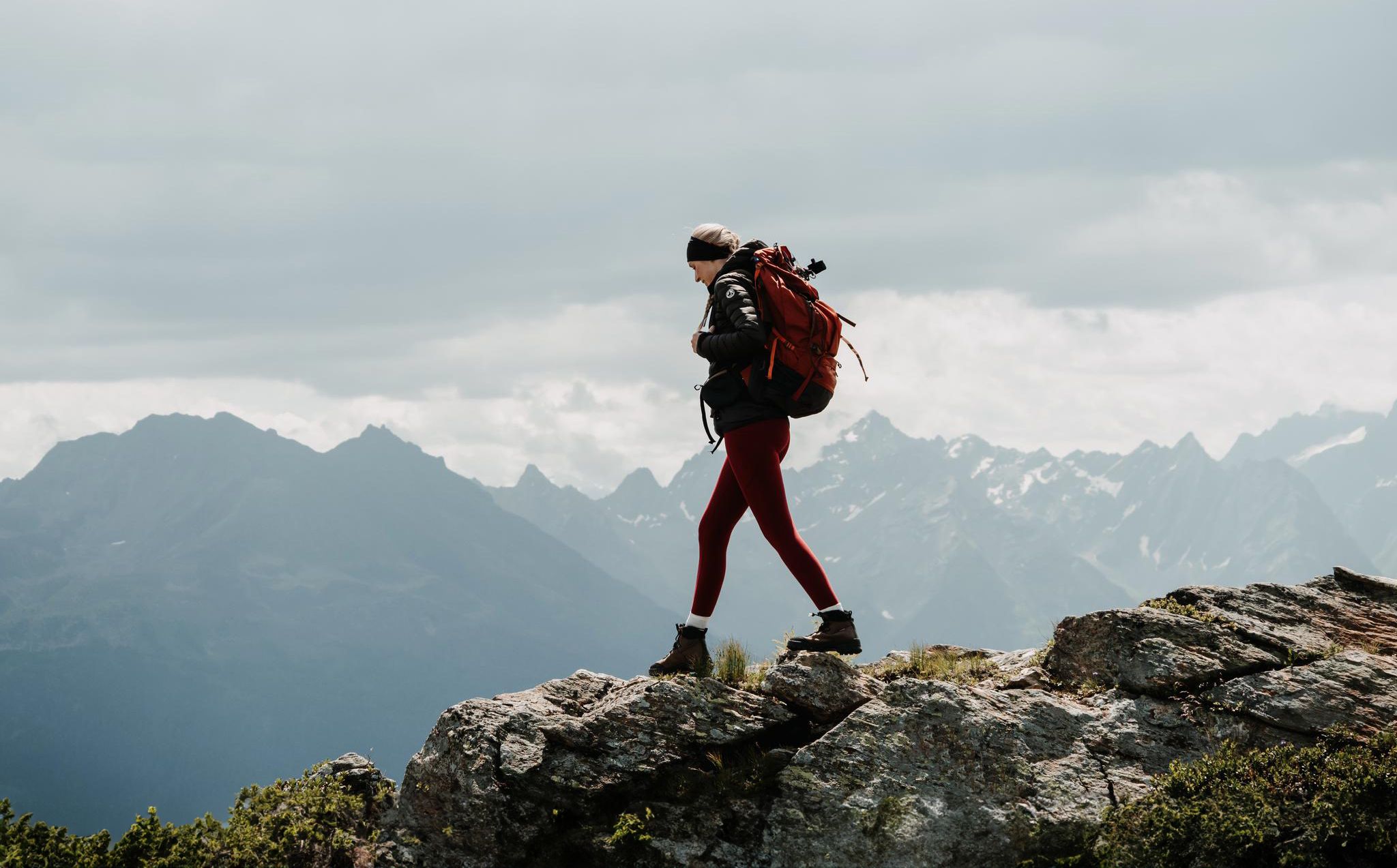
Happy moments on long-distance hikes – hiking summer of your life
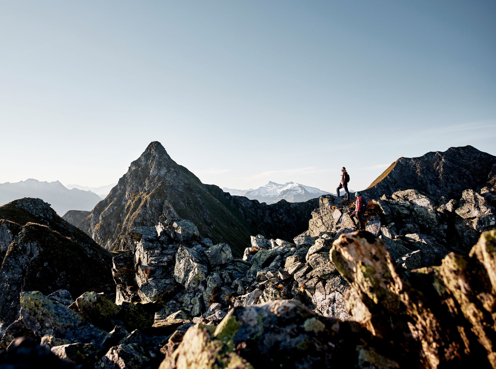
Your adventure is waiting – our ten favourite mountain Tours
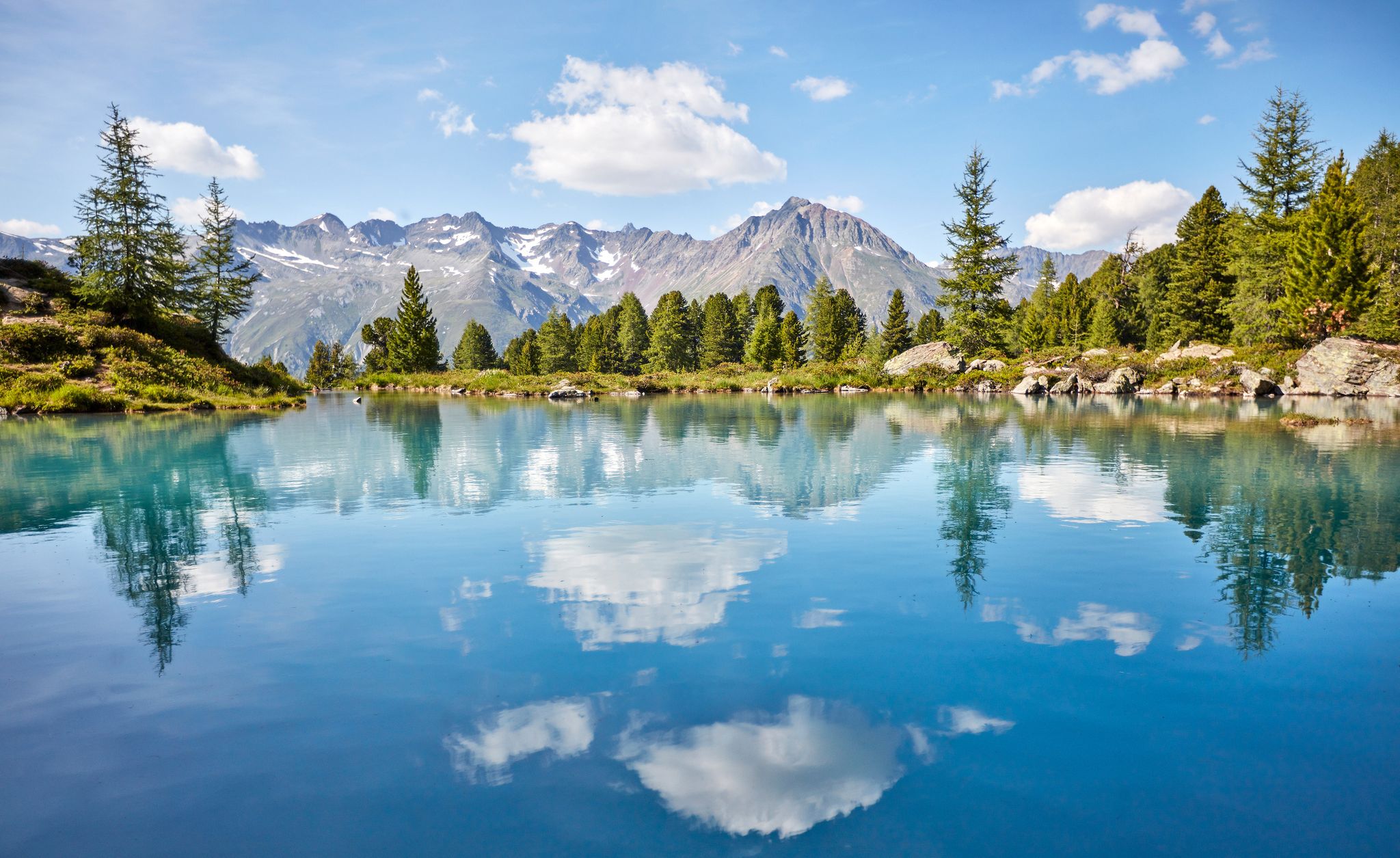
You don't need the sea when you’re Austria – hikes to incredible water spots
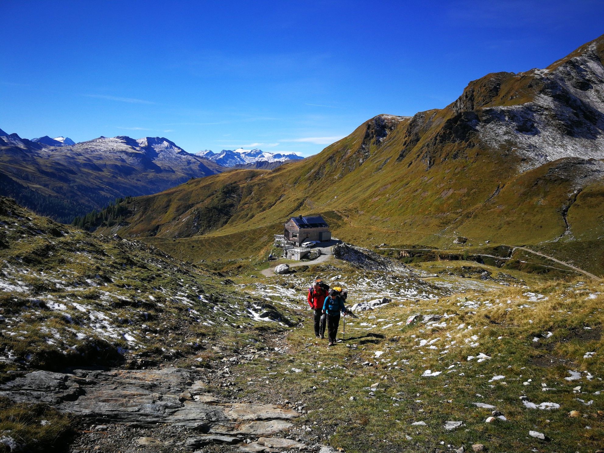
Lower Austria to Carinthia — our favourite huts in Austria
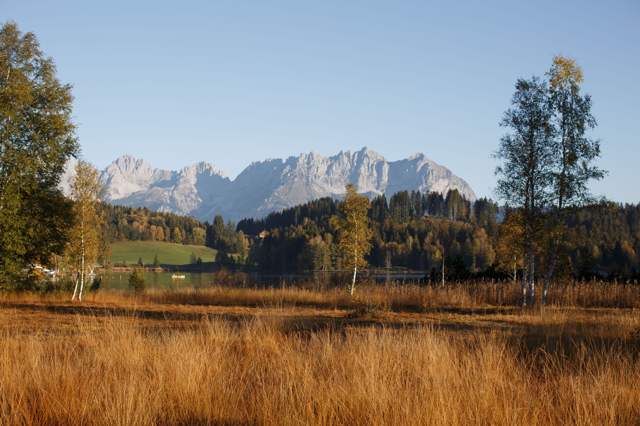
#Gourmet moments in the Kitzbühel mountains
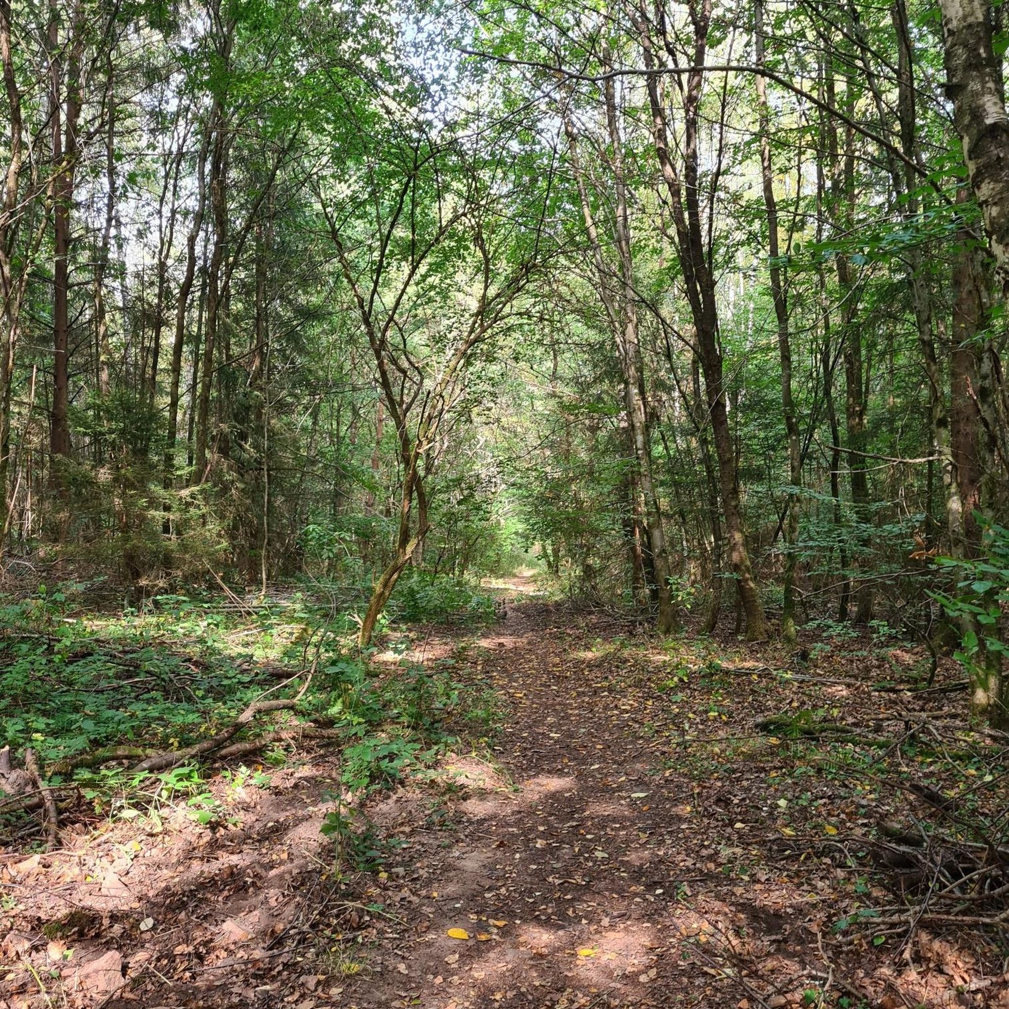
ヨッホベルクでののグラベルライド
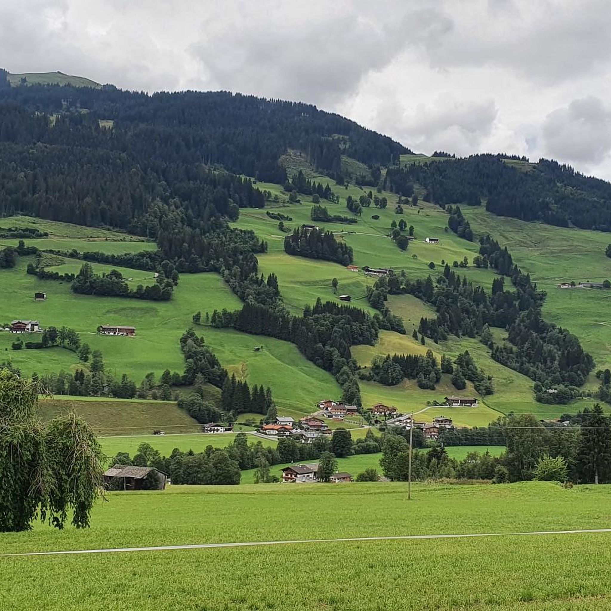
ヨッホベルクのロードバイクルート
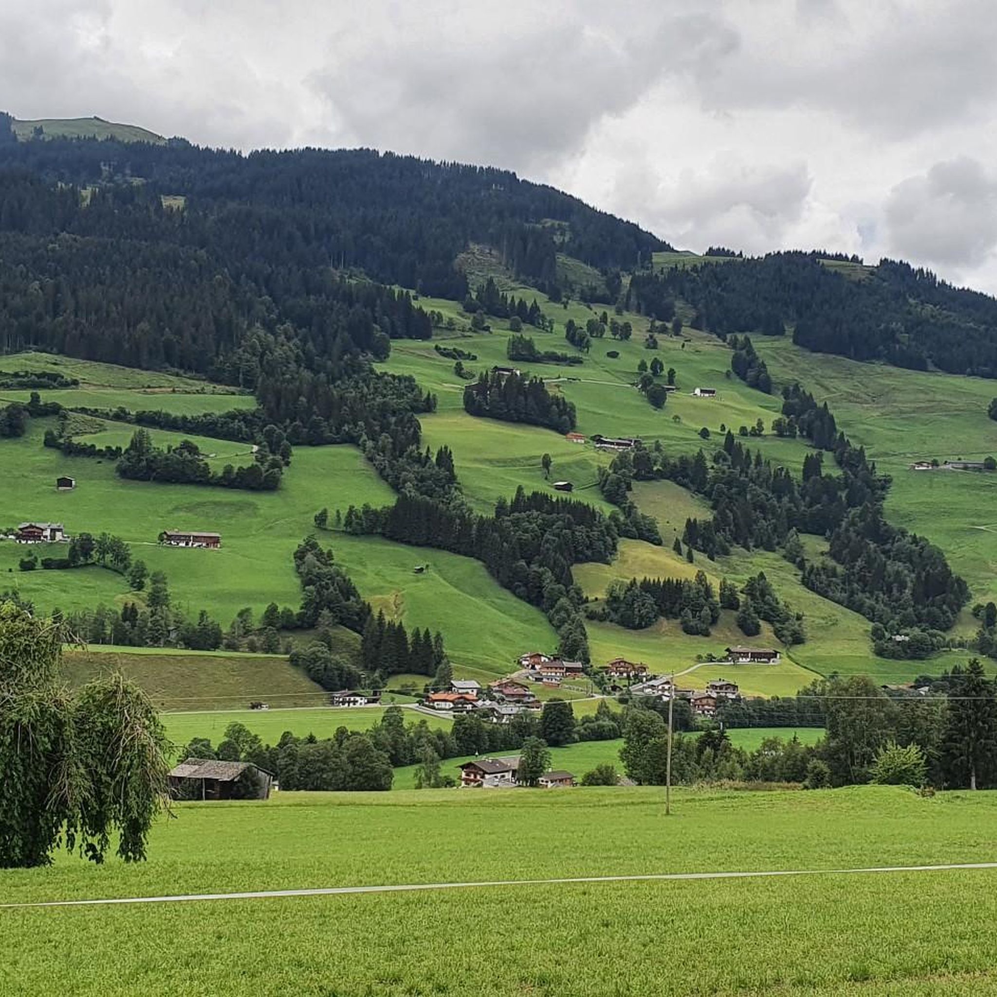
ヨッホベルクのMTBトレイル
ヨッホベルクでのサイクリング
ヨッホベルクのランニングコース
ヨッホベルクでのの他の冒険


コミュニティからのヒント

Great view of the Alps, beautiful panorama
0
0

From Jochberg, cycle to the Gauxlift and then walk to the summit and past the blue lake.
0
0


標高2,174メートルのTeufelssprungは、キッツビュールアルプスにある際立ったピークで、その名前の由来となった印象的な岩の裂け目で知られています。登りは主にGamshagからの稜線、またはSaalbach-Hinterglemmの谷奥から「Tor」とHochtorseeを経由して行われます。頂上に到着すると、周囲の山々の壮大な景色が広がり、足元の確かなハイカーにとって価値のある静かなピークです。
5
0
The Teufelssprung (Devil's Leap), at 2,174 meters, is a striking peak in the Kitzbühel Alps, known for the impressive rock crevice that gives it its name. The ascent is usually via the ridge from the Gamshag or via the "Tor" and Hochtorsee lake from the head of the Saalbach-Hinterglemm valley. Once at the top, a spectacular view of the surrounding mountains opens up – a rewarding, tranquil summit for sure-footed hikers.
3
0

komootモバイルアプリでインスピレーションを得よう


さらに探索
他の地域の最高のハイキングを見てみましょう。
