アウラッハバイキッツビュールのおすすめ登山&山歩きルート
4.8
(204)
1,767
ハイカー
93
ハイキング
キッツビュールの山々をもっと探索しませんか?このガイドでご紹介するのは、komootがアウラッハバイキッツビュールでの登山&山歩きのコレクション全体を評価して選び抜いた、このエリアの人気ルートです。あなたに合ったルートを見つけるには、他のユーザーがアップロードした役立つ情報や写真を閲覧し、クリック操作で簡単に表示できる詳細なデータを参考にしましょう。アウラッハバイキッツビュールでの次の冒険にぴったりの登山&山歩きルートが見つかるはずです。
最終更新日: 10月 11, 2026
5.0
(5)
36
ハイカー
4.51km
01:45
310m
310m
中程度の登山ルート. ある程度のフィットネスレベルが必要です。 全般的に進みやすいルートです。安定して歩行できる技術が必要です。
4.0
(2)
37
ハイカー
12.3km
05:33
980m
980m
難しい登山ルート. 標準以上のフィットネスレベルが必要です。 安定して歩行できる技術、丈夫な靴、高標高地での登山経験が必要です。

5.0
(1)
34
ハイカー
14.4km
05:49
1,060m
1,060m
難しい登山ルート. 標準以上のフィットネスレベルが必要です。 安定して歩行できる技術、丈夫な靴、高標高地での登山経験が必要です。
15
ハイカー
12.4km
04:54
860m
860m
難しい登山ルート. ある程度のフィットネスレベルが必要です。 安定して歩行できる技術、丈夫な靴、高標高地での登山経験が必要です。
5.0
(1)
12
ハイカー
12.0km
04:55
880m
870m
難しい登山ルート. ある程度のフィットネスレベルが必要です。 安定して歩行できる技術、丈夫な靴、高標高地での登山経験が必要です。
さらに多くのルートや他のユーザーのおすすめ情報を確認できます。
すでにアカウントをお持ちですか?
おすすめのツアーは他のkomootユーザーが実際に経験した何千ものアクティビティに基づいています。
無料アカウントで今日から始めよう
次の冒険が待っています。
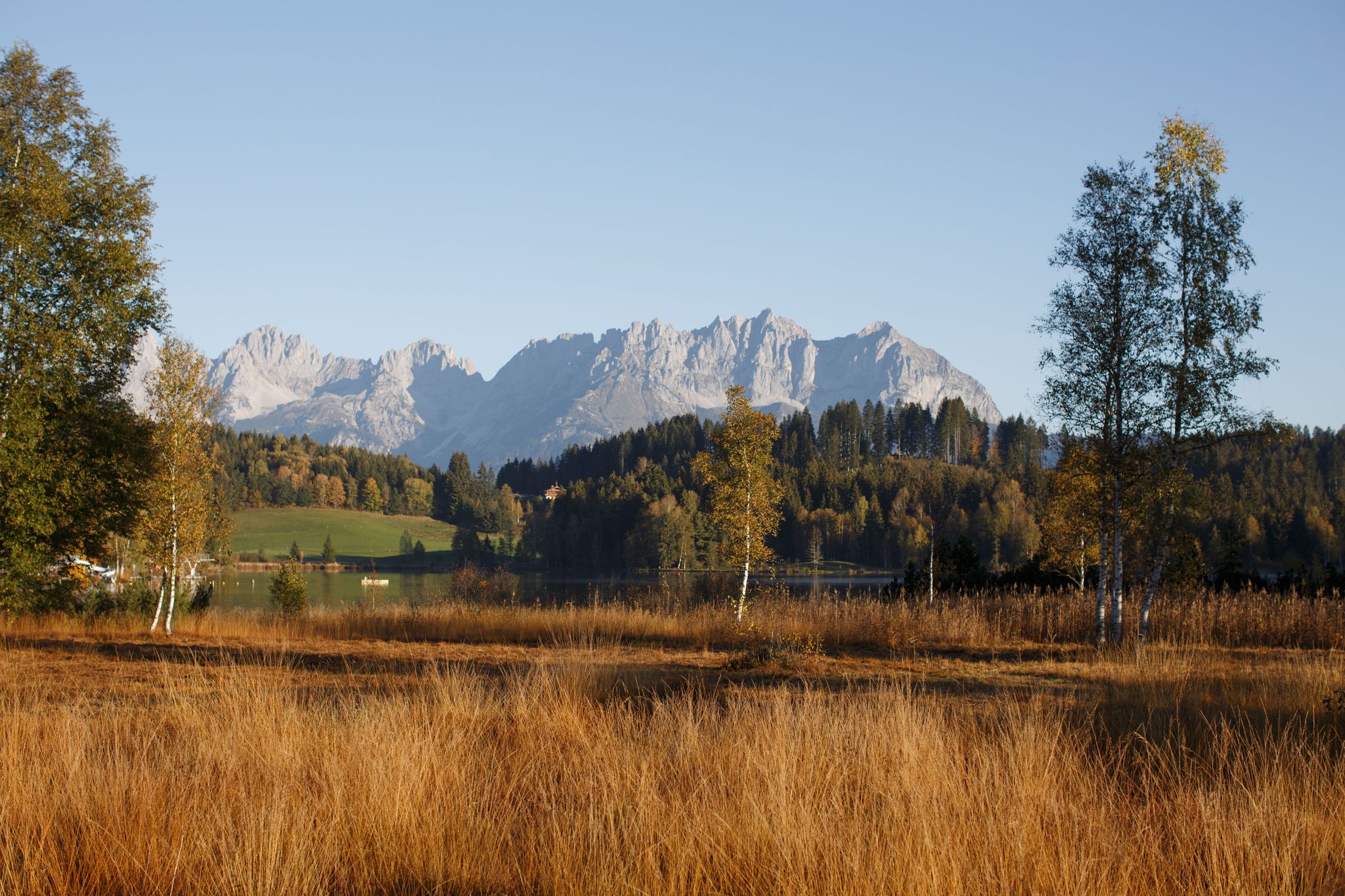
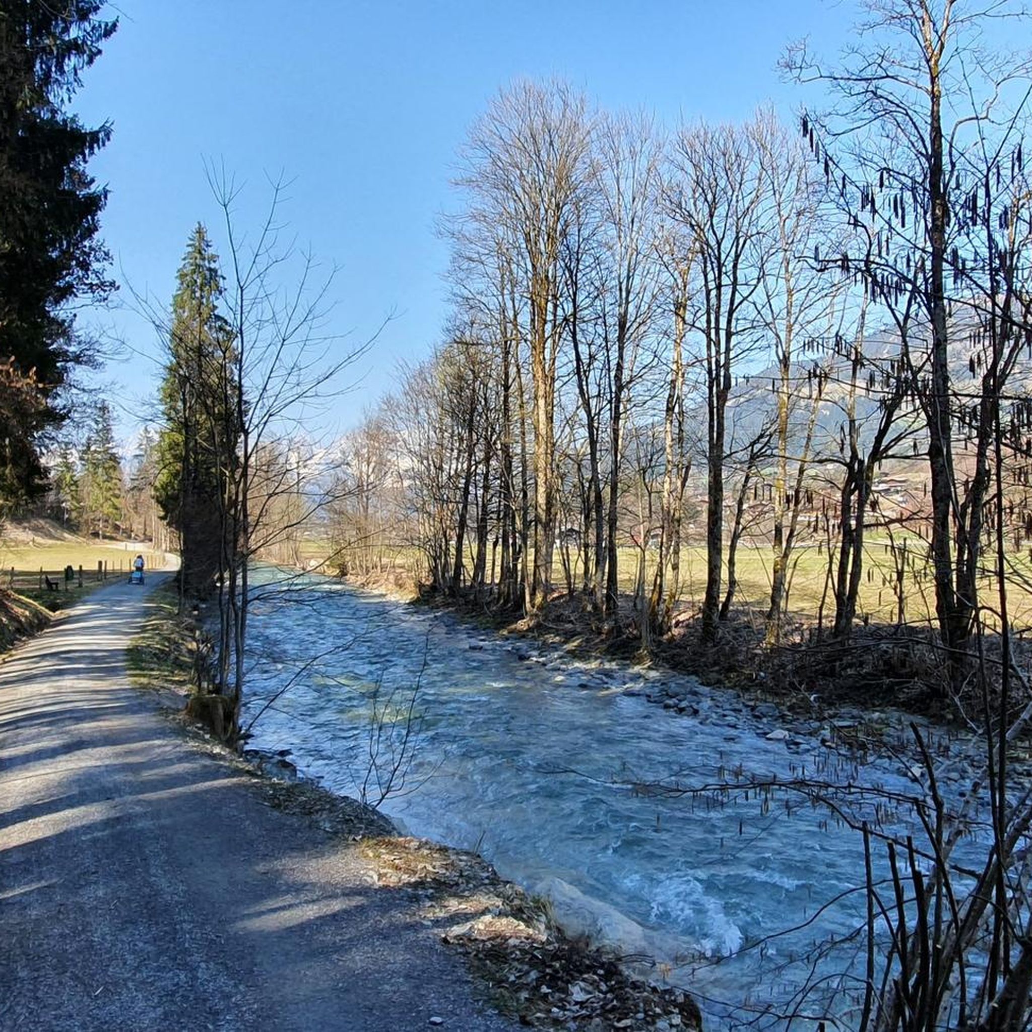
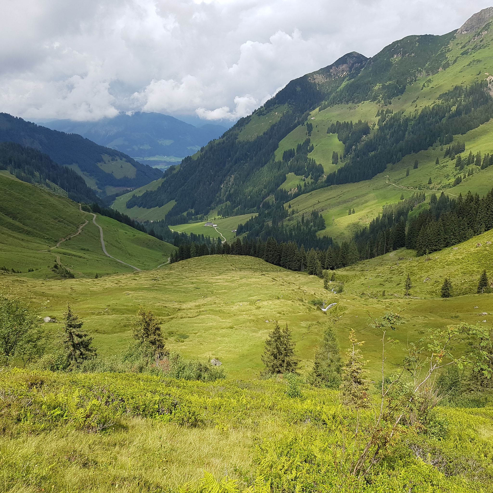
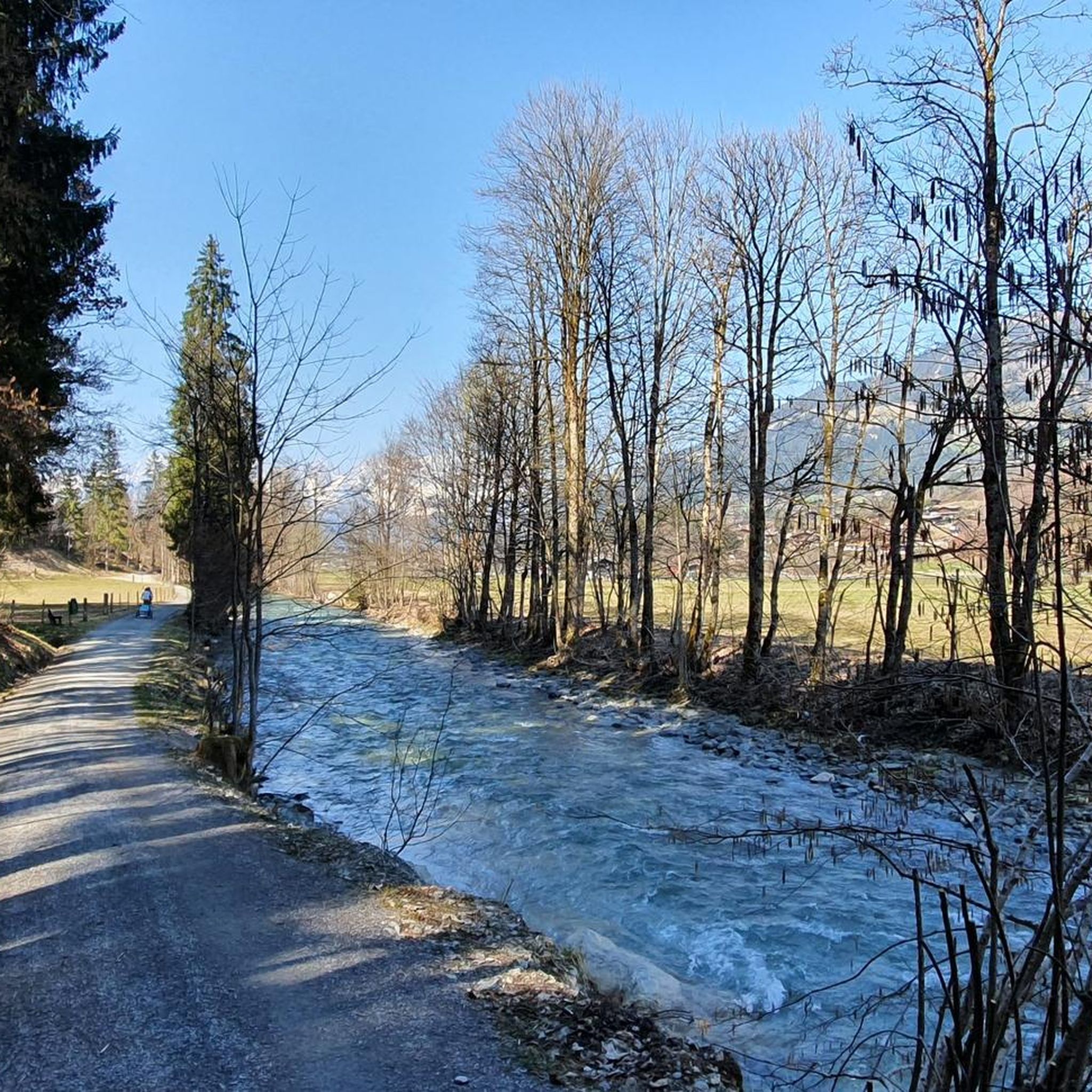
アウラッハバイキッツビュールでのの他の冒険

コミュニティからのヒント

...湖からの帰り道に、ここで美味しいアルプスのチーズを味わい、生産者から直接購入しました。
0
0

Wildseeloderhausのすぐそばにある、Fieberbrunn市に属する小さな鍵のかかっていない礼拝堂。 Wildseeloderhausの最初の管理者であったChristian Dialerは、妻の記念碑が設置された礼拝堂を小屋の隣に建てました。彼女は小屋で子供を出産中に亡くなりました。Christian Dialerが管理者として小屋を去ったとき、古い礼拝堂はセクションによって引き継がれ、維持されました。 1963年に完全に老朽化した後、セクションは現在の石造りの建物に置き換えました。内部の装飾もその際に新調されました。
0
0
Wildalm Käseladenは、Wildseeloderの麓、標高1579メートルに位置し、特別な種類の体験スポットです。Wildalmmilchからは最高のベルクカゼ(山岳チーズ)が自家製され、18世紀の天然セラーで12ヶ月間熟成されます。チーズ製造の副産物であるホエーからは、高山植物とオイルを使用して、栄養価の高いクリームやローションなどのWildalpgold天然化粧品が作られています。
0
0


防水ハイキングシューズを履くか、裸足でも問題ありません。ここで足を濡らしてリフレッシュできます。
0
0


The chapel at Sonnwendstein stands picturesquely right next to the summit cross, lending the highest point of the tour a special atmosphere. Surrounded by mountain meadows and offering breathtaking views of the Vienna Basin, the Rax Mountains, and the Schneeberg, it is a tranquil place to pause for a moment. Many hikers use the small chapel for a short rest before starting their return journey or to enjoy the view for a while longer.
1
0
アウラッハバイキッツビュールでのの人気観光スポット

komootモバイルアプリでインスピレーションを得よう


さらに探索
他の地域の最高の登山ハイキング & ルートを見てみましょう。
