シャルフォードのおすすめウォーキング&ハイキングルート
4.6
(2781)
17,771
ハイカー
49
ハイキング
シャルフォード 周辺でおすすめのハイキングやウォーキングを楽しんでいただけるように、このエリアの小径やルートを集めたkomootコレクション全体を見直しました。 以下で各ルートの詳細をご覧になり、シャルフォード周辺の大自然を満喫する際の参考にしてください。
最終更新日: 8月 30, 2026
4.7
(75)
309
ハイカー
13.4km
03:43
240m
240m
Embark on the Shalford Three Peaks — Surrey Hills trail, a moderate hike covering 8.3 miles (13.4 km) with 792 feet (241 metres) of elevation gain, typically taking around 3…
4.8
(30)
75
ハイカー
10.9km
02:58
160m
160m
Hike a moderate 6.8-mile loop from Shalford, exploring St Martha's Hill, Chilworth Gunpowder Works, and the River Wey.

無料新規登録
3.4
(5)
36
ハイカー
6.95km
01:52
80m
80m
初級者向けハイキング. あらゆるフィットネスレベルに適しています。 進みやすいルートです。あらゆるスキルレベルに適しています。
5.0
(3)
11
ハイカー
7.85km
02:11
150m
130m
中程度のハイキング. ある程度のフィットネスレベルが必要です。 進みやすいルートです。あらゆるスキルレベルに適しています。
5.0
(3)
45
ハイカー
11.0km
02:49
40m
40m
中程度のハイキング. ある程度のフィットネスレベルが必要です。 進みやすいルートです。あらゆるスキルレベルに適しています。
さらに多くのルートや他のユーザーのおすすめ情報を確認できます。
無料新規登録
すでにアカウントをお持ちですか?
おすすめのツアーは他のkomootユーザーが実際に経験した何千ものアクティビティに基づいています。
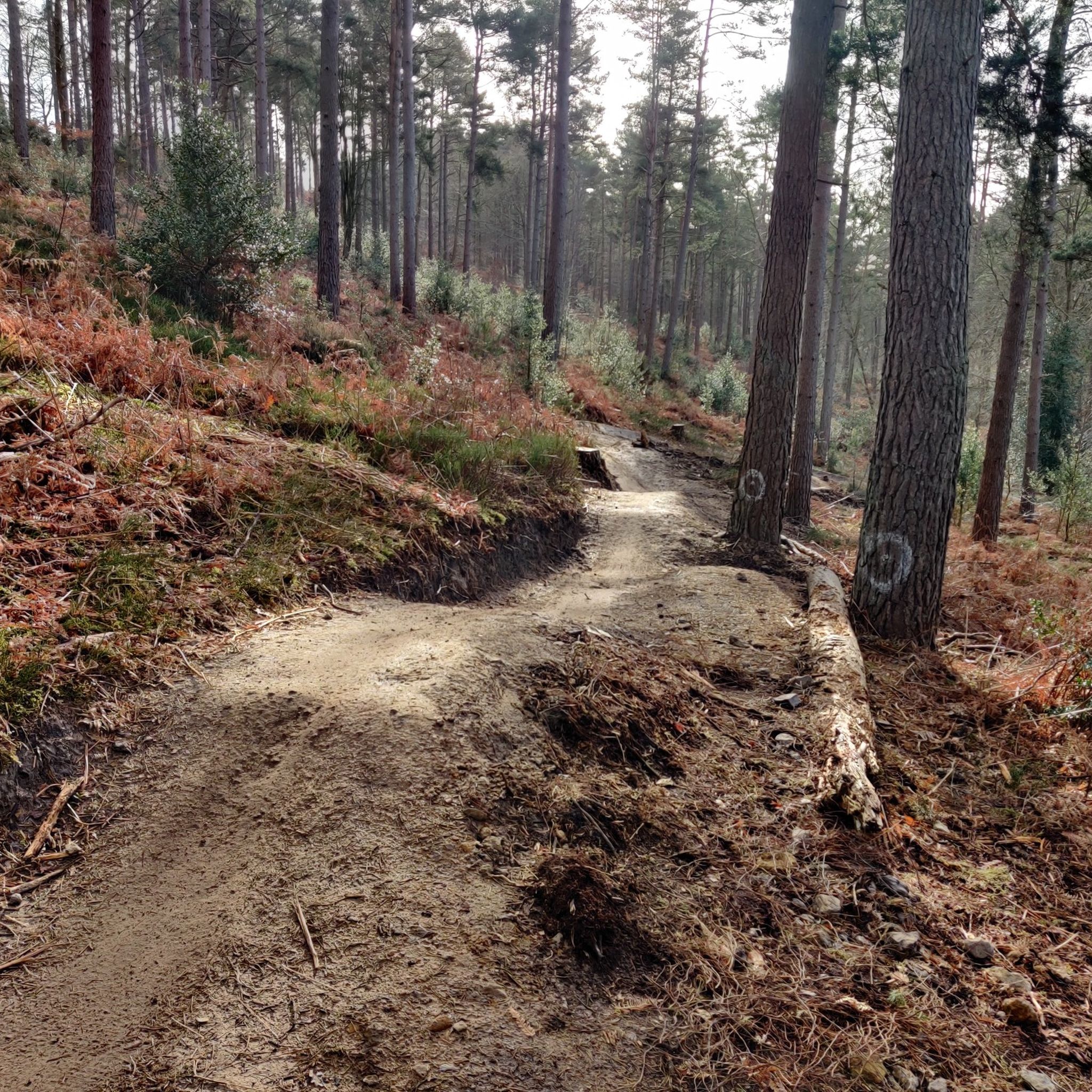
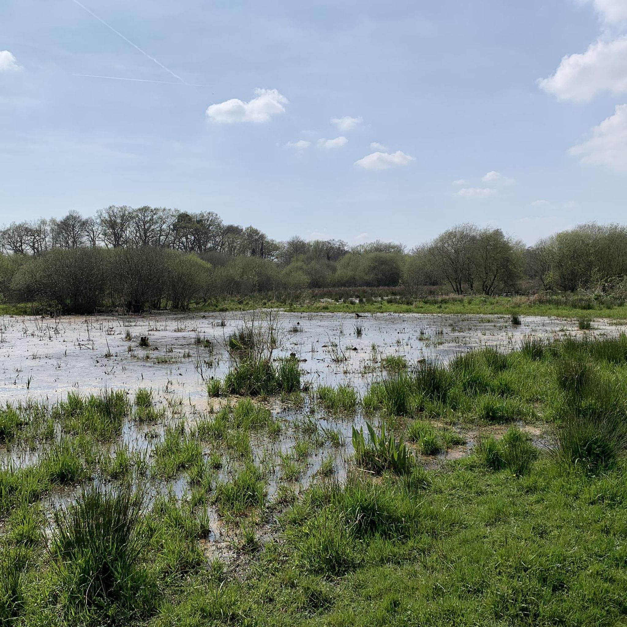
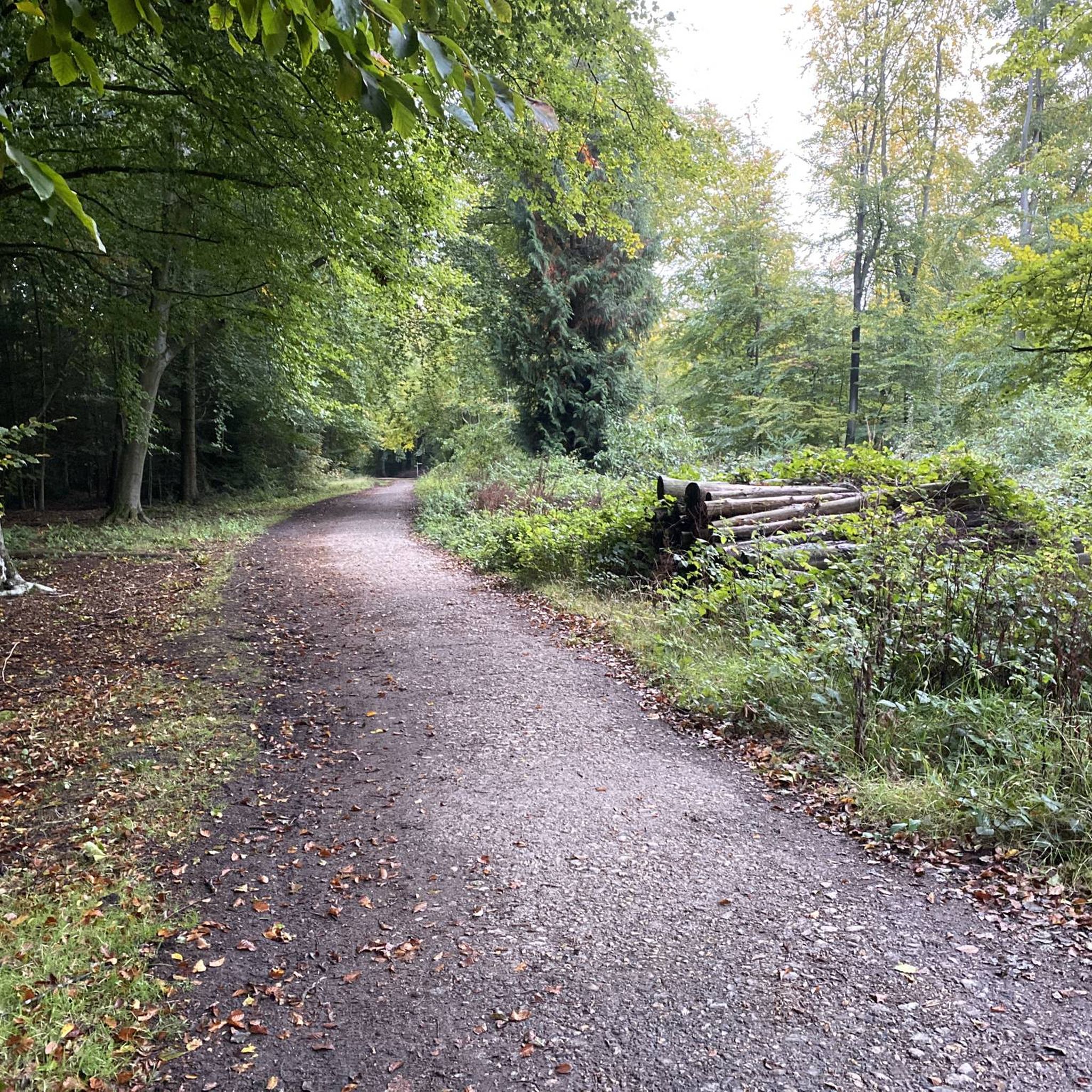



コミュニティからのヒント

There’s now a fantastic cafe at the boat house, open Tuesday to Sunday, amazing coffee and sandwiches which can be enjoyed by the river, inside the cafe or to takeaway.
1
0

This 18th-century watermill is a reminder of the Tillingbourne Valley's industrial past. At the peak of industry, there were 24 known mills along the 11 mile (18 km) course of the river. Today, the mill is managed and cared for by the National Trust.
0
0

The Phillips Memorial Park is named after John George (Jack) Phillips of Francombe. Phillips died in during the sinking of the Titanic in 1912, selflessly sending out a distress signal in Morse code while the ship sank. The park is home to a conservation meadow, pond and lovely riverside walks.
0
0

The ancient market and coaching town of Godalming's characterful boutiques and picturesque surroundings make it a lovely place to visit. For walkers there are pleasant strolls along the River Wey and more energetic hikes on the commons and in the woodlands of the Surrey Hills. There are plenty of hotels and B&Bs in the town, as well as great places to eat and drink.
0
0

This highlight has notable historical significance. It shows the place where the old Wey and Arun Canal started from on the River Wey. For several decades in the 19th century the Wey and Arun Canal was a vital trade link between the south coast and the River Thames and London. The Canal was 23-miles long and linked the rivers Wey and Arun between Shalford in Surrey and Pallingham in Sussex. Commercial trade on the Wey and Arun Canal reached a peak of 23,000 tons in 1839. However, with the establishment of the railways canal trade traffic started to decrease and had virtually stopped by 1868. Although no longer looking at its best the start of the old Canal is still evident 150 years after most canal traffic ceased. Restoration of the Wey and Arun Canal is underway and it is planned that “London’s lost route to the sea” will eventually be reopened.
0
0

Plenty of benches to sit & relax river side walk close by
0
0
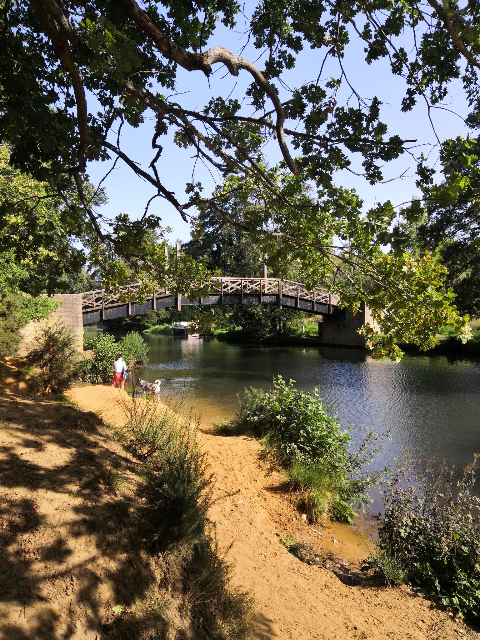
The River Wey is one of Surrey’s best kept secrets. Many are surprised by the rural tranquility of the river and by its scenic views, open spaces and wildlife. The prettiest part of the River Wey is arguably that between Godalming and Guildford, and in particular the 0.65-mile river section between Trowers Footbridge, Farncombe, and the Tilthams Corner Road. Here the meandering Wey offers a different rural view around each corner. It is a delight to walk on a well-maintained footpath and to observe the tranquil and interesting river and its scenic surroundings. In summer, the canopies from nearby trees add to the river’s beauty. If you are fortunate, you may see a brightly coloured narrowboat either moored or passing by. If you are interested in history, you may wish to study the lovely brick-built Towers bridge that dates from about 1770, and the well-maintained World War II pillbox situated 25m from the river just south of Tilthams Corner Road.
0
0
シャルフォードでのの人気観光スポット

komootモバイルアプリでインスピレーションを得よう


さらに探索
他の地域の最高のハイキングを見てみましょう。
