ノルマンディーのおすすめウォーキング&ハイキングルート
4.5
(1809)
15,739
ハイカー
1,034
ハイキング
ノルマンディー 周辺でおすすめのハイキングやウォーキングを楽しんでいただけるように、このエリアの小径やルートを集めたkomootコレクション全体を見直しました。 以下で各ルートの詳細をご覧になり、ノルマンディー周辺の大自然を満喫する際の参考にしてください。
最終更新日: 9月 13, 2026
5.0
(1)
10
ハイカー
11.0km
02:54
90m
90m
Hike the moderate 6.9-mile Ash, Stoney Castle, & Henley Park Ranges loop through heathland and past Henley Park Lake in Surrey.
4.0
(2)
27
ハイカー
10.5km
02:42
40m
40m
中程度のハイキング. ある程度のフィットネスレベルが必要です。 進みやすいルートです。あらゆるスキルレベルに適しています。

5.0
(3)
25
ハイカー
4.11km
01:03
20m
20m
初級者向けハイキング. あらゆるフィットネスレベルに適しています。 進みやすいルートです。あらゆるスキルレベルに適しています。
4.0
(1)
30
ハイカー
5.92km
01:31
20m
20m
初級者向けハイキング. あらゆるフィットネスレベルに適しています。 進みやすいルートです。あらゆるスキルレベルに適しています。
4.0
(2)
18
ハイカー
14.4km
03:41
50m
50m
中程度のハイキング. ある程度のフィットネスレベルが必要です。 進みやすいルートです。あらゆるスキルレベルに適しています。
さらに多くのルートや他のユーザーのおすすめ情報を確認できます。
すでにアカウントをお持ちですか?
おすすめのツアーは他のkomootユーザーが実際に経験した何千ものアクティビティに基づいています。
無料アカウントで今日から始めよう
次の冒険が待っています。
コミュニティからのヒント


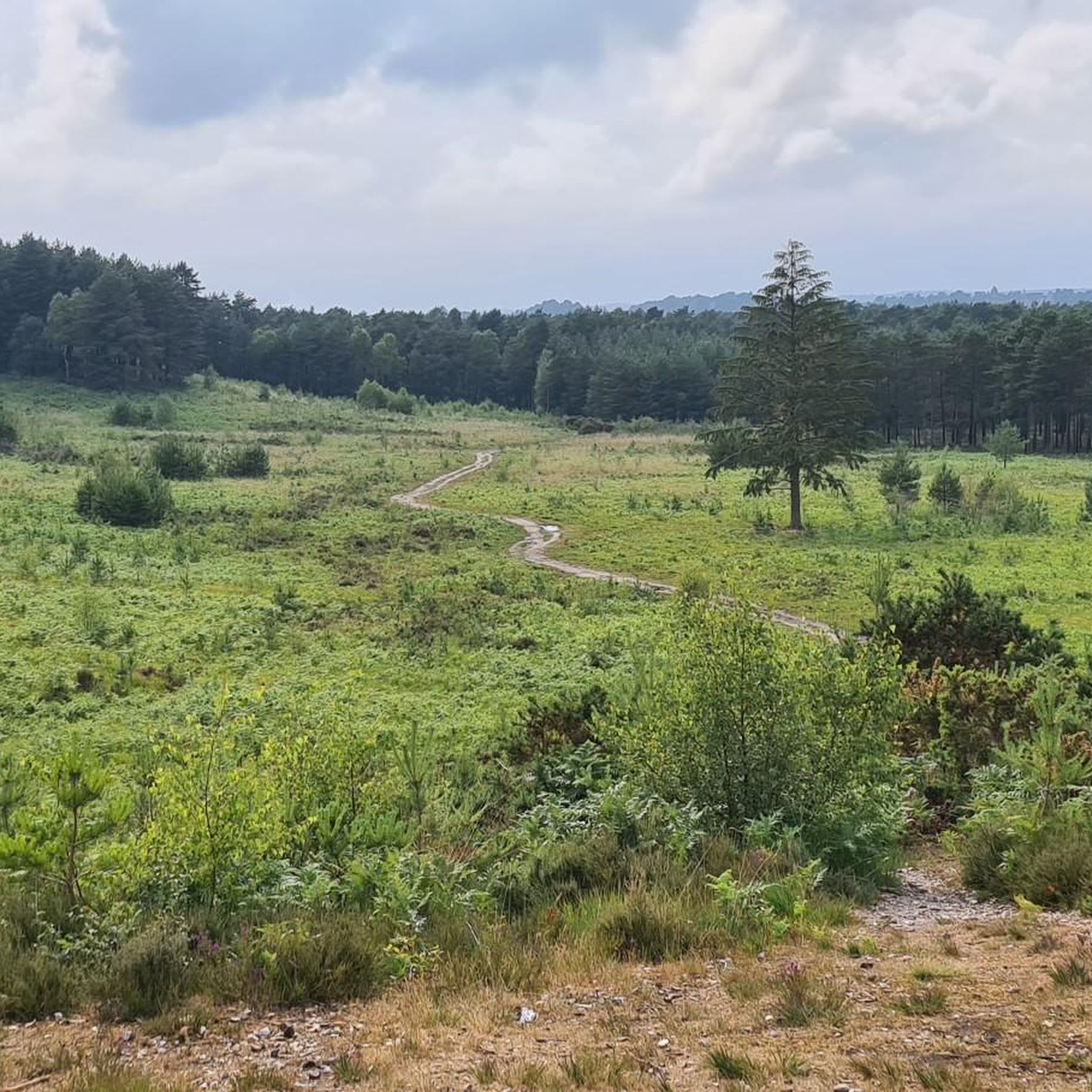
Henley Park Lake is a beautiful tree-lined oasis situated nearby to Normandy in Surrey. The lake has a high presence of fish species and is popular amongst anglers. There is a picnic area and café near the pier where you can purchase some delicious coffee and cake from The Coffee Shop.
1
0

Frimley Lodge Park is a great place to visit on a family hike. There are two children's playgrounds, a minature railway, two picnic areas and pitch and putt. All surrounded by meadows and woodland on the banks of the Basingstoke Canal. Plus public toilets and a cafe.
0
0
The Basingstoke Canal offers 32 miles of canal tow path. Some say it is the most beautiful in the country. It was built in 1794 and stretches between the River Thames at Weybridge to Basingstoke. After falling into disrepair in the 1950s, it was renovated and reopened for navigation in 1991.
1
0

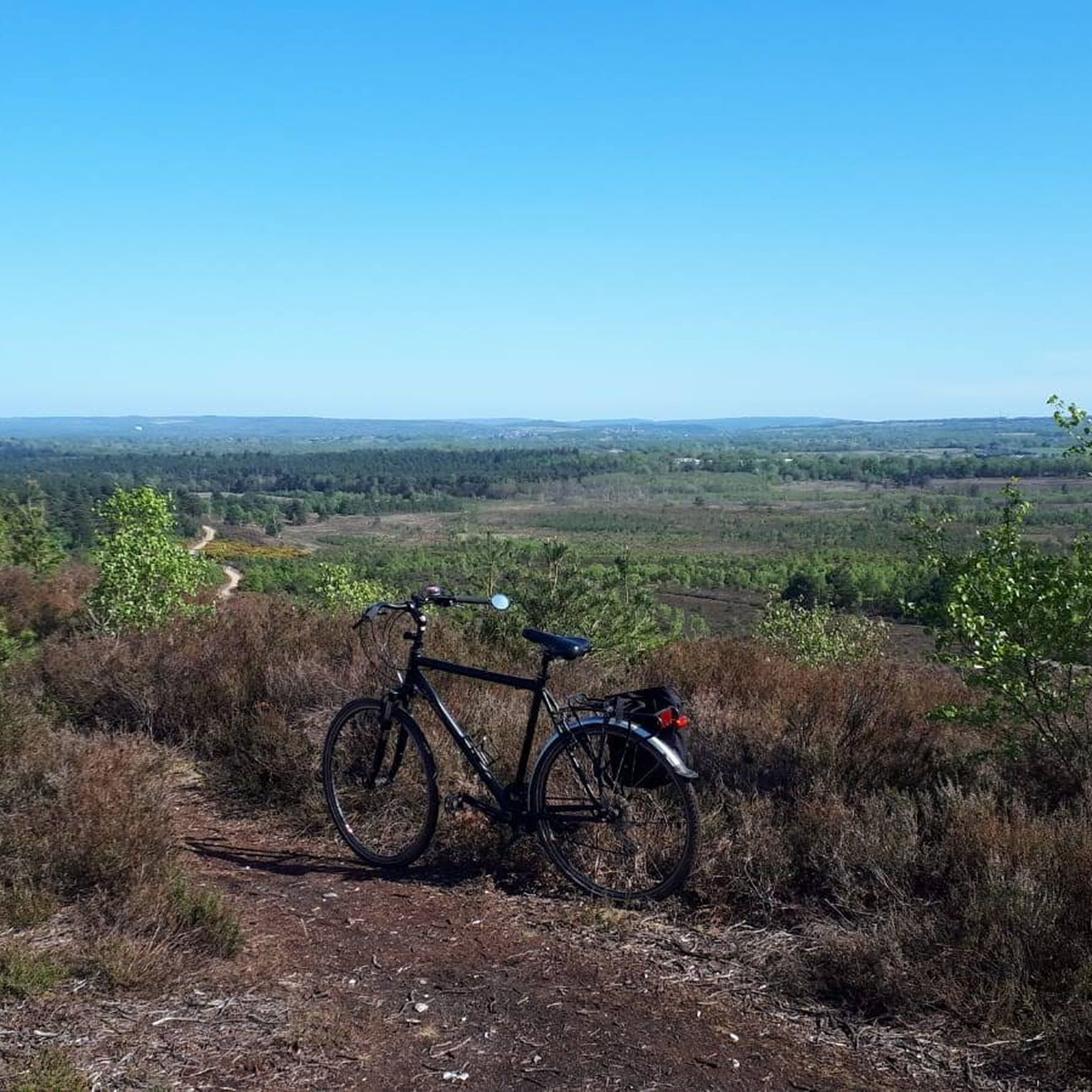
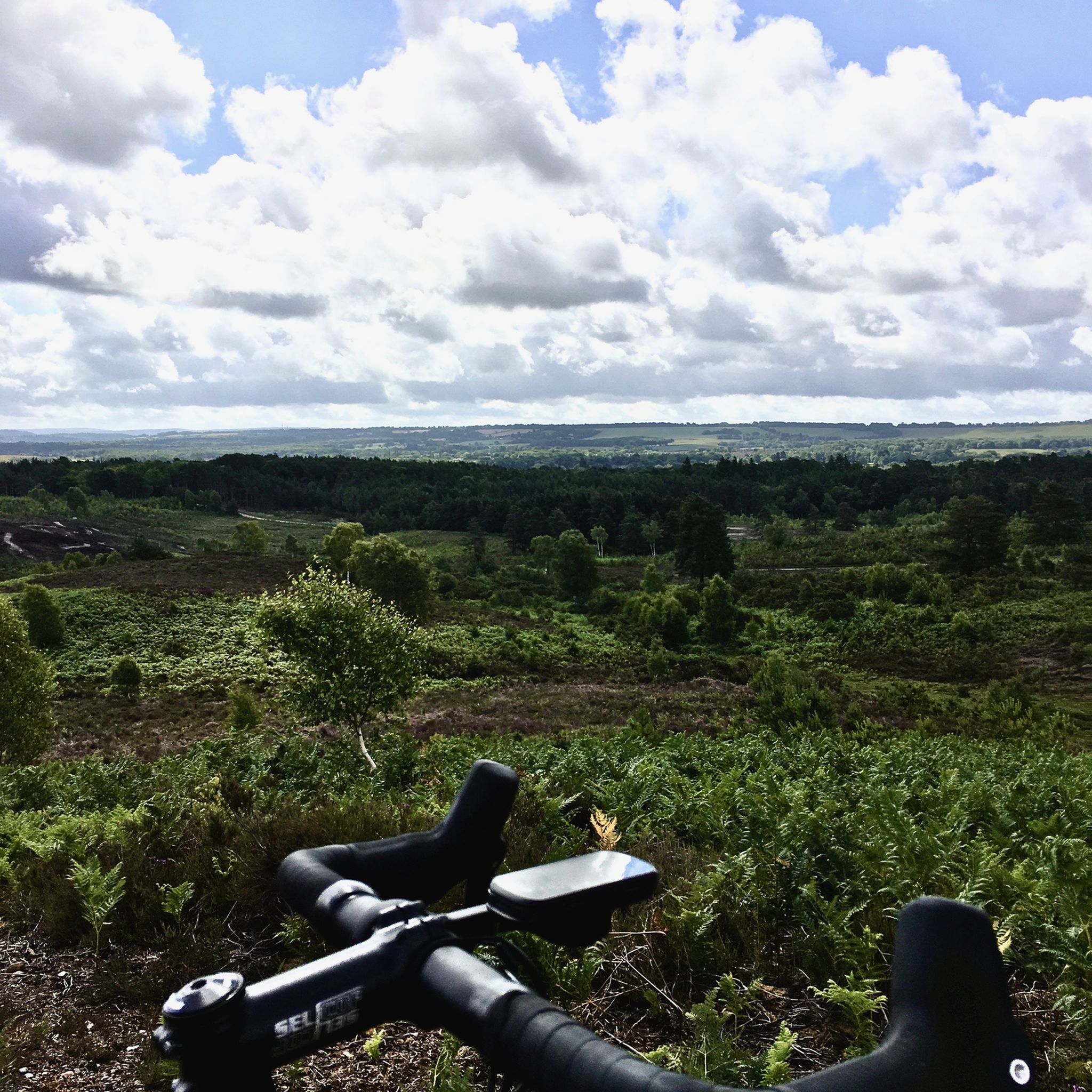
Ash Ranges are an extensive 800 hectares of stunning open dry heathland. The heathland suffer from a fire this summer but is recovering. It’s managed on behalf of the MOD so access is not permissible when red flags are flying or red beacons are lit. An up to date list of training firing times can be found through this link https://www.gov.uk/government/publications/south-east-training-estate-firing-times
1
0

An ait is an islet, usually called such when found on the River Thames or a tributary of it. This one is next to an army camp on the Basingstoke Canal, which is indeed a tributary of the Thames. I don't know who Roy is, but his islet is an interesting feature to see on a canal.
0
0
As you hike alongside the Basingstoke Canal, it's easy to not realise that you're actually walking over an aqueduct. The canal is suspended above the mainline railway to London here so if you suddenly hear a train rumbling, that's why. Despite this, the canal remains leafy green and in summer especially, it's almost impossible to notice the presence of the railway. Built in 1840, the aqueduct later had gates built at either side so that should a bomb fall on it during the Second World War, the gates would stop the canal from flooding the railway beneath.
1
0

Up and over the canal. A good way to link trails on either side of the canal
0
0
ノルマンディーでのの人気観光スポット

komootモバイルアプリでインスピレーションを得よう


さらに探索
他の地域の最高のハイキングを見てみましょう。
