チャトリーヒースのおすすめウォーキング&ハイキングルート
4.6
(1344)
11,125
ハイカー
610
ハイキング
チャトリーヒース周辺で人気のウォーキングやハイキングをお探しですか?チャトリーヒースが誇るこの美しい森周辺のルートを集めたkomootコレクションを参考にしてください。 ここでは、チャトリーヒース周辺の人気ハイキングコース&ウォーキングコースを紹介しています。魅力的なルートが見つかったら、さっそく冒険に出かけましょう。
最終更新日: 8月 25, 2026
4.0
(5)
18
ハイカー
11.5km
02:58
60m
60m
中程度のハイキング. ある程度のフィットネスレベルが必要です。 進みやすいルートです。あらゆるスキルレベルに適しています。
5.0
(2)
19
ハイカー
5.33km
01:24
40m
40m
初級者向けハイキング. あらゆるフィットネスレベルに適しています。 進みやすいルートです。あらゆるスキルレベルに適しています。

無料新規登録
4.7
(3)
8
ハイカー
9.82km
02:34
70m
70m
中程度のハイキング. ある程度のフィットネスレベルが必要です。 進みやすいルートです。あらゆるスキルレベルに適しています。
3
ハイカー
6.22km
01:37
40m
40m
初級者向けハイキング. あらゆるフィットネスレベルに適しています。 進みやすいルートです。あらゆるスキルレベルに適しています。
4.8
(16)
48
ハイカー
7.80km
01:59
20m
20m
初級者向けハイキング. あらゆるフィットネスレベルに適しています。 進みやすいルートです。あらゆるスキルレベルに適しています。
さらに多くのルートや他のユーザーのおすすめ情報を確認できます。
無料新規登録
すでにアカウントをお持ちですか?
おすすめのツアーは他のkomootユーザーが実際に経験した何千ものアクティビティに基づいています。
無料アカウントで今日から始めよう
次の冒険が待っています。
ログインまたは登録
コミュニティからのヒント


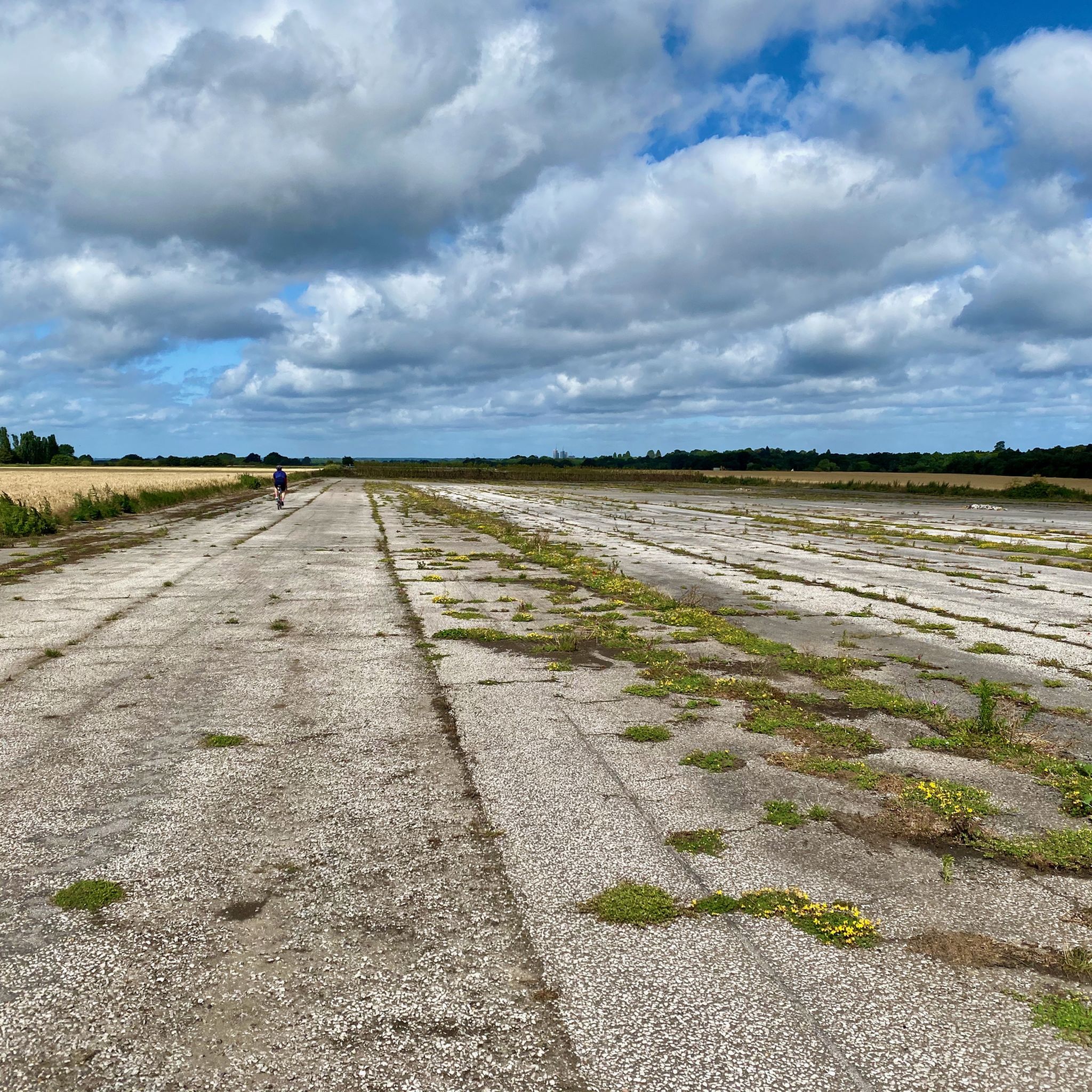
Soon to be a huge housing estate. No more skylarks and peaceful fields surrounding the runway, just houses and cars (and a dog-poop SANGS area)
1
0


Classical style mausoleum in woodland. Once used in an episode of Doctor Who.
1
0

Excellent pub with a well known reputation, stopped here for a quiet drink. A really good rest point if your doing long distance along the canals and riverways into London from the south.
0
0

The pretty Walsham Lock and Weir have a scenic setting 1 km north of the village of Ripley in Surrey. The lock has several notable features and is surrounded by tranquil and picturesque flood meadows and by Pyrford Golf Club. These attributes make it well worth a visit. Walsham is the last surviving turf-sided lock on the Wey Navigation. This means that it operates as a flood lock and has its lock gates always open unless the River Wey is in flood. If there is a flood the lock gates are closed to force water over the nearby Walsham Weir and down along the River Wey. Two further unusual features of Walsham Lock are first that it’s situated on a slight bend such that its top and bottom lock gates do not quite align with each other. Second, its adjacent pleasant lock-keeper cottage is the last remaining fully-manned lock cottage on the Wey Navigation. The original lock-keeper cottage was built in 1653 and the current one dates from 1896. The Walsham Weir and its roaring water marks where the River Wey Navigation separates from the River Wey. The two waterways do not rejoin again downstream until Weybridge. The Walsham Weir is the main Weir on the Wey Navigation downstream of Guildford. When crossing the former horse bridge over the River Wey by the Weir you should look out for the entrance to a naturalised fish and eel pass channel route. This 170 m long channel has a reduced water flow compared to the Wier so that fish and eels can make their way upstream on the River Wey.
1
0


komootモバイルアプリでインスピレーションを得よう


さらに探索
他の地域の最高のハイキングを見てみましょう。
