ブランバーのおすすめウォーキング&ハイキングルート
4.6
(1664)
14,164
ハイカー
24
ハイキング
ブランバー 周辺でおすすめのハイキングやウォーキングを楽しんでいただけるように、このエリアの小径やルートを集めたkomootコレクション全体を見直しました。 以下で各ルートの詳細をご覧になり、ブランバー周辺の大自然を満喫する際の参考にしてください。
最終更新日: 8月 27, 2026
3.9
(15)
51
ハイカー
5.84km
01:30
30m
30m
Explore the Down Links loop along the Adur from Bramber Castle, an easy 3.6-mile (5.8 km) hike that takes about 1 hour and 30 minutes to complete, with a gentle…
4.0
(4)
21
ハイカー
10.1km
02:38
60m
60m
中程度のハイキング. ある程度のフィットネスレベルが必要です。 進みやすいルートです。あらゆるスキルレベルに適しています。

無料新規登録
3.0
(1)
34
ハイカー
4.36km
01:06
10m
10m
初級者向けハイキング. あらゆるフィットネスレベルに適しています。 進みやすいルートです。あらゆるスキルレベルに適しています。
5.0
(1)
17
ハイカー
7.49km
02:04
120m
120m
中程度のハイキング. ある程度のフィットネスレベルが必要です。 進みやすいルートです。あらゆるスキルレベルに適しています。
4.0
(1)
17
ハイカー
4.47km
01:14
70m
70m
初級者向けハイキング. あらゆるフィットネスレベルに適しています。 進みやすいルートです。あらゆるスキルレベルに適しています。
さらに多くのルートや他のユーザーのおすすめ情報を確認できます。
無料新規登録
すでにアカウントをお持ちですか?
おすすめのツアーは他のkomootユーザーが実際に経験した何千ものアクティビティに基づいています。



コミュニティからのヒント

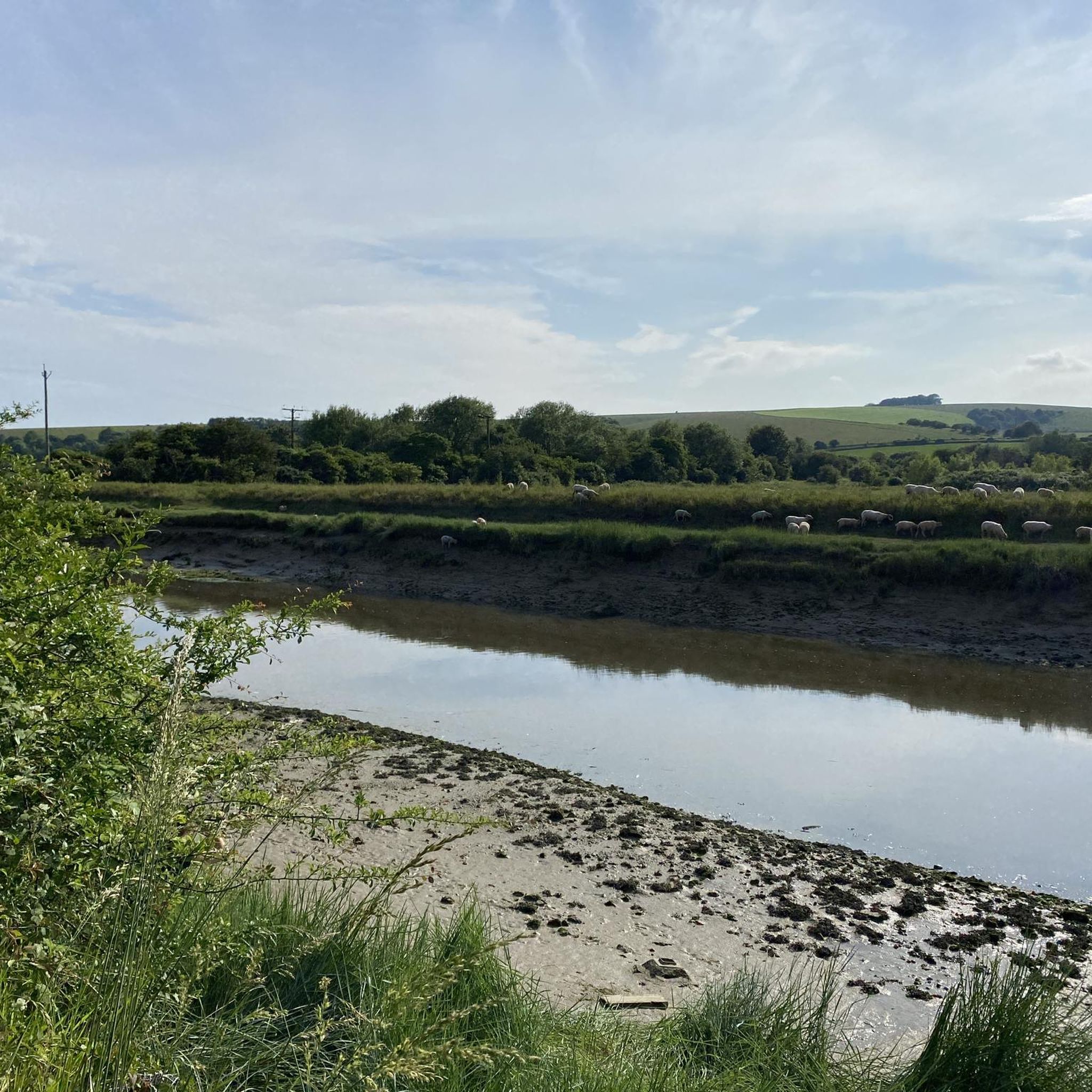
Very picturesque. Check out the view from the bridge.
0
0

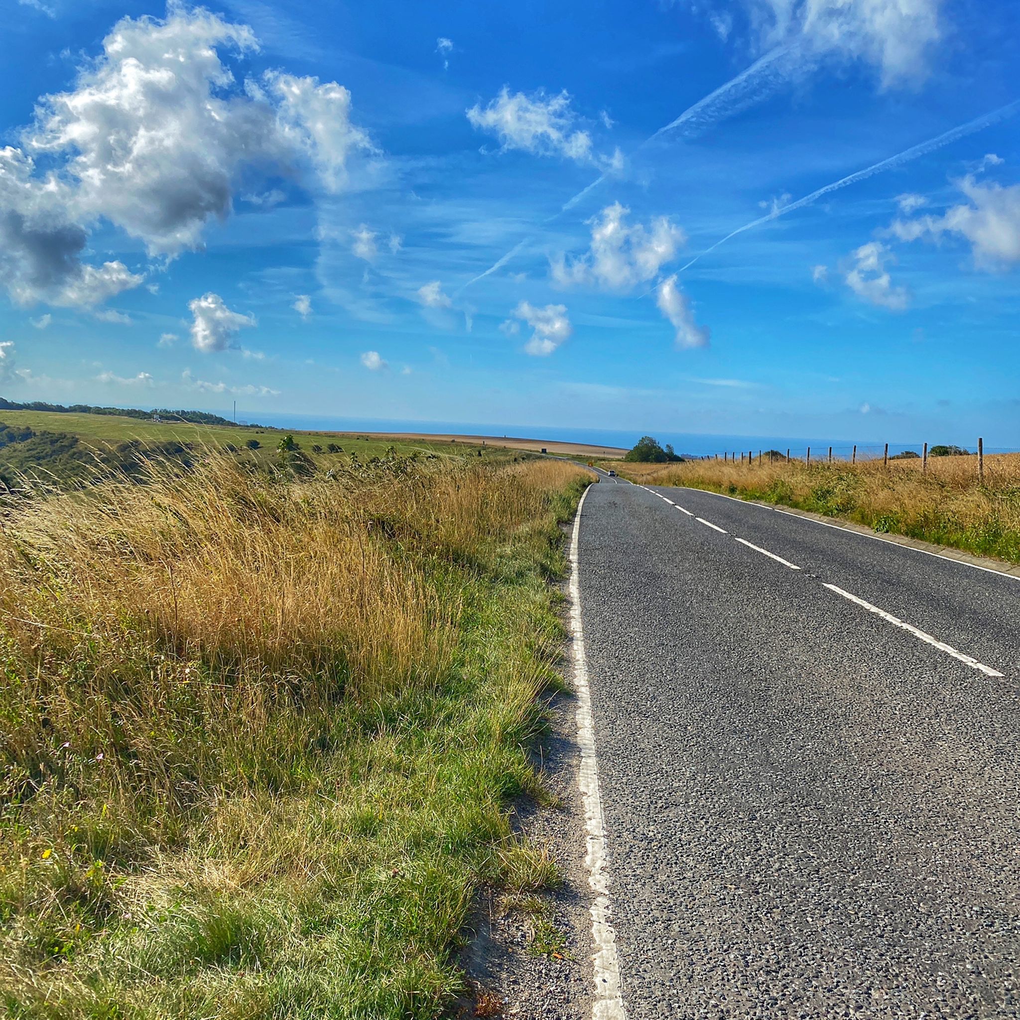
The bridleway that climbs up from Castle Town to join the South Down's Way below Beeding Hill provides fantastic views across the weald. Look out for the remnants of ancient cultivation ditches just downhill of the path.
0
0

This is a charming rural lane surrounded by the peaceful West Sussex countryside. Enjoy views of fields and woodland with quaint cottages dotted inbetween.
1
0

The remains of this Norman castle are perched on a high natural knoll overlooking the River Adur, defending a gap in the South Downs. Built soon after the Norman Conquest to help protect William I’s newly won territories, the castle was the Sussex seat of the de Braose family.
0
0


A 'Sixpath' or a crossing of six footpaths sits on the Monarch's Way high above Shoreham On Sea. It literally joins and provides access to all of the local hiking routes. With commanding views you can see far out over the South Downs National Park and out into the English Channel. There is even a bench to enjoy it from. Apart from that it's not a bad spot!
1
0
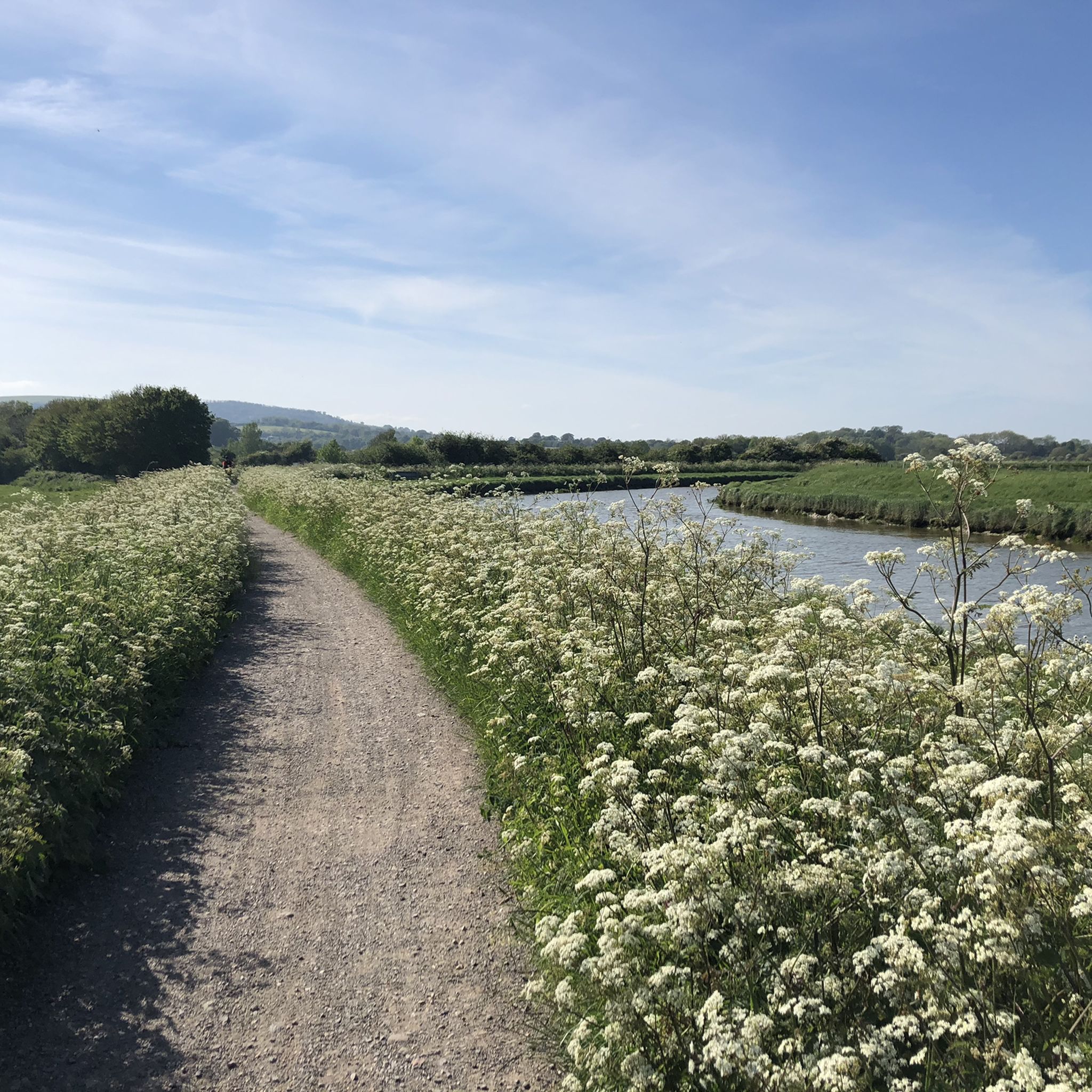
The Downs Link is a beautiful long-distance route for walkers, horse riders, and cyclists that follows two disused railway lines. It crosses the Surrey Hills, the Low Weald, the South Downs, and the Coastal Plain. Since the trains departed in the 1960s, the embankments and cuttings have become a green corridor for wildlife and people.
2
0
ブランバーでのの人気観光スポット

komootモバイルアプリでインスピレーションを得よう


さらに探索
他の地域の最高のハイキングを見てみましょう。
