ウォンゼースのおすすめツーリングルート
4.5
(2554)
10,859
ライダー
19
ライド
ウォンゼース周辺でのおすすめのサイクリングルートを参考にして、このエリアを最大限に楽しみましょう。ここでご紹介するのは、ウォンゼース周辺の人気バイクライドです。ぜひ、自分に合ったルートを見つけてください。
最終更新日: 10月 8, 2026
4.5
(13)
49
ライダー
25.1km
01:48
340m
350m
中程度の自転車ライド. ある程度のフィットネスレベルが必要です。 全般的に舗装された状態です。あらゆるスキルレベルに適しています。
4.7
(3)
19
ライダー
39.5km
02:47
370m
370m
中程度の自転車ライド. ある程度のフィットネスレベルが必要です。 全般的に舗装された状態です。あらゆるスキルレベルに適しています。

3.0
(1)
7
ライダー
21.8km
01:25
270m
280m
中程度の自転車ライド. ある程度のフィットネスレベルが必要です。 全般的に舗装された状態です。あらゆるスキルレベルに適しています。
5.0
(1)
5
ライダー
15.9km
01:09
210m
210m
中程度の自転車ライド. ある程度のフィットネスレベルが必要です。 全般的に舗装された状態です。あらゆるスキルレベルに適しています。
5.0
(1)
5
ライダー
19.8km
01:21
200m
200m
中程度の自転車ライド. ある程度のフィットネスレベルが必要です。 全般的に舗装された状態です。あらゆるスキルレベルに適しています。
さらに多くのルートや他のユーザーのおすすめ情報を確認できます。
すでにアカウントをお持ちですか?
おすすめのツアーは他のkomootユーザーが実際に経験した何千ものアクティビティに基づいています。
無料アカウントで今日から始めよう
次の冒険が待っています。


コミュニティからのヒント

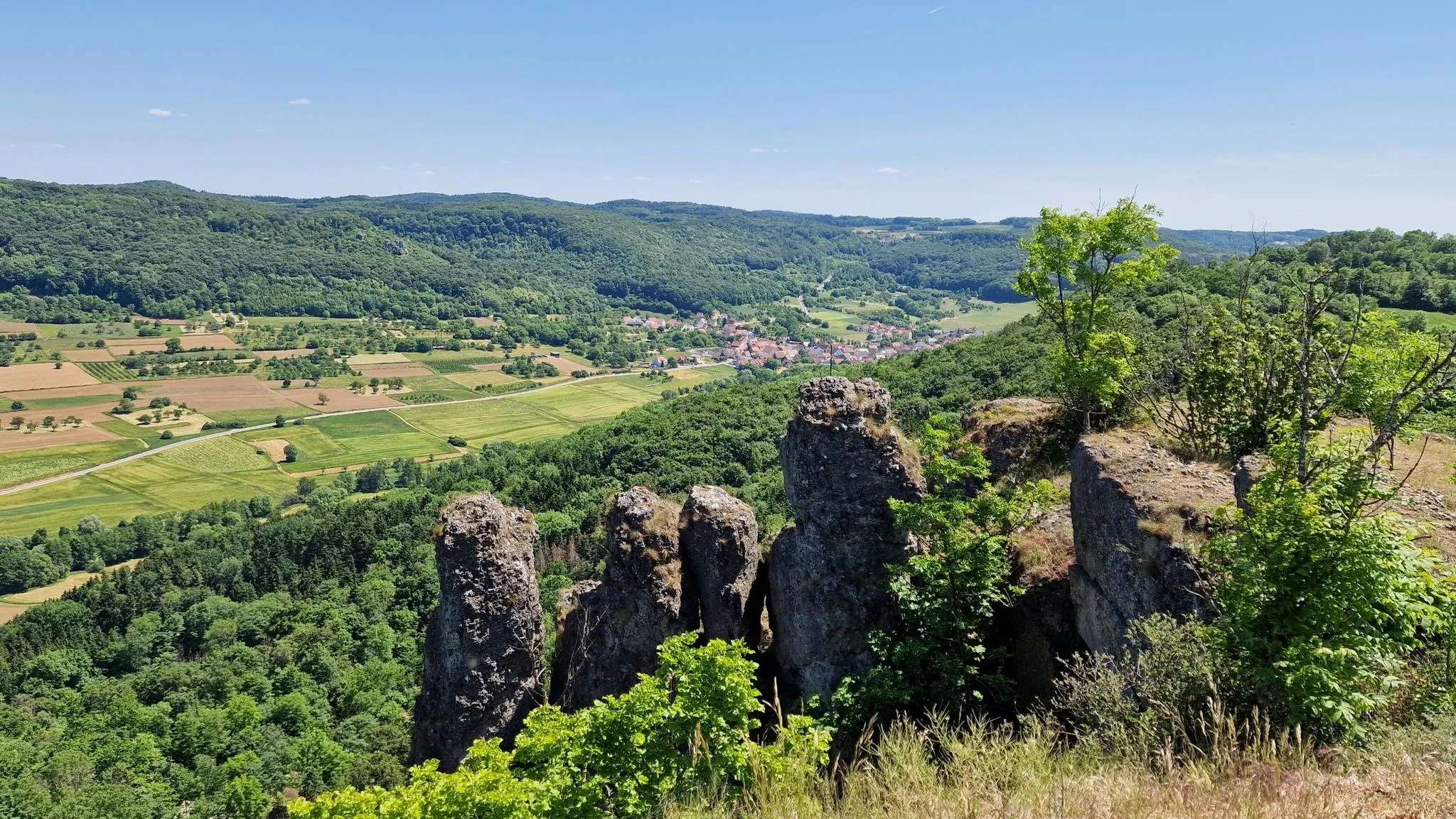
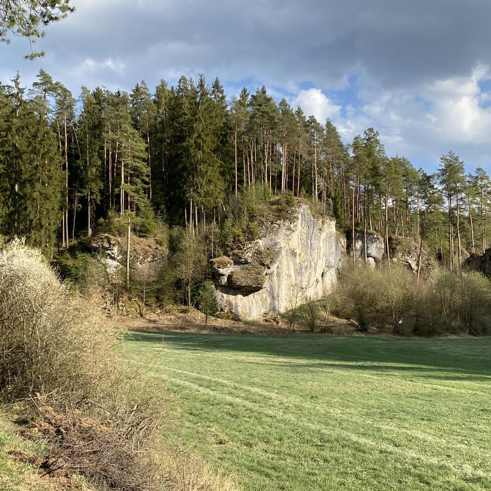
クレーゲルシュタインは、ドロミテの岩の間にある絵のように美しい村以上のものです。かつてカイザーバッハの遥か上空には、クレーゲルシュタイン領主の城がありました。その歴史は中世にまで遡ります。1523年、この岩城はシュヴァーベン同盟によって破壊されました。大きな見張り塔は、4トンの火薬で爆破されたと言われています。今日では、消え去った城の跡が、岩の峡谷の上に壁の残骸として残っています。 村の家々は、印象的なドロミテの岩、すなわち「アルテ・フリッツ」、「シュヴェーデンフェルゼン」、「レーヴェンフェルゼン」に寄り添うように建っています。
5
0
カインハタールは、ホルフェルトのすぐ外にある、特に美しく静かな自然空間です。旧市街から谷へと続く道は、小川と牧草地ののどかな風景へと変わっていきます。カインハッハの静かなせせらぎが、あなたの道を伴います。特に家族連れにとってこの谷は興味深く、子供向けの体験コースがあり、遊びや発見のための様々なステーションがあります。
9
0

The cycle path between Hollfeld and Stechendorf is officially known as the Franconian Switzerland High Trail. The path follows the former railway line between Bayreuth and Hollfeld, which was closed in 1974. Thanks to the use of the old railway line, the route is largely flat and gently sloping. From Hollfeld, the path leads along the Wiesent Valley towards Stechendorf and on to Bayreuth. It is often also referred to as a leisure cycle path or a railway line path.
2
0
The castle is located on a narrow dolomite cliff at an elevation of approximately 500 meters. It is open to visitors from April to October. Since 1745, the castle has been part of the Sanspareil Rock Garden, created by Wilhelmine of Brandenburg-Bayreuth.
14
0
"It's without parallel!" – "This is without equal!" a lady-in-waiting to Margrave Frederick is said to have exclaimed when she saw the bizarre rock formation in the beech grove not far from Zwernitz Castle. In this extraordinary landscape, the Oriental Building and the kitchen building opposite, which served as a venue for festivities at the Bayreuth court, were built between 1744 and 1748 according to plans by the court architect Joseph St. Pierre. These two buildings are grouped around a detached garden parterre, which was reconstructed in 1984 based on a copperplate engraving from 1748.
16
0

Café Pflaum in Zochenreuth invites you to enjoy coffee and delicious cakes🫶
0
3

One of the most beautiful churches within a 100km radius.
0
0

This is more in the area of hiking or walking than mountaineering
1
0

komootモバイルアプリでインスピレーションを得よう


さらに探索
他の地域の最高のサイクリングルートを見てみましょう。
