ヴィーゼナーフォルストのおすすめMTBライド
4.7
(3402)
10,367
ライダー
462
ライド
ヴィーゼナーフォルスト周辺には魅力的なマウンテンバイクルートがいくつもありますが、冒険を始めるにはその場所とルートを把握する必要があります。ここでは、komootが提供するヴィーゼナーフォルスト周辺でのマウンテンバイクルートのコレクション全体を評価して選び抜いた、人気ルートをご紹介します。各ライドの詳細をぜひご覧ください。
最終更新日: 10月 4, 2026
4.6
(38)
50
ライダー
29.5km
02:12
320m
320m
中程度のマウンテンバイクライド. ある程度のフィットネスレベルが必要です。 高度なライディングスキルが必要です。
4.4
(12)
47
ライダー
38.3km
03:00
590m
590m
中程度のマウンテンバイクライド. ある程度のフィットネスレベルが必要です。 あらゆるスキルレベルに適しています。

5.0
(2)
14
ライダー
26.0km
02:29
610m
610m
中程度のマウンテンバイクライド. ある程度のフィットネスレベルが必要です。 高度なライディングスキルが必要です。
4.6
(11)
35
ライダー
28.3km
02:24
540m
540m
中程度のマウンテンバイクライド. ある程度のフィットネスレベルが必要です。 高度なライディングスキルが必要です。
5.0
(2)
9
ライダー
23.8km
02:06
480m
480m
中程度のマウンテンバイクライド. ある程度のフィットネスレベルが必要です。 高度なライディングスキルが必要です。
さらに多くのルートや他のユーザーのおすすめ情報を確認できます。
すでにアカウントをお持ちですか?
おすすめのツアーは他のkomootユーザーが実際に経験した何千ものアクティビティに基づいています。
無料アカウントで今日から始めよう
次の冒険が待っています。
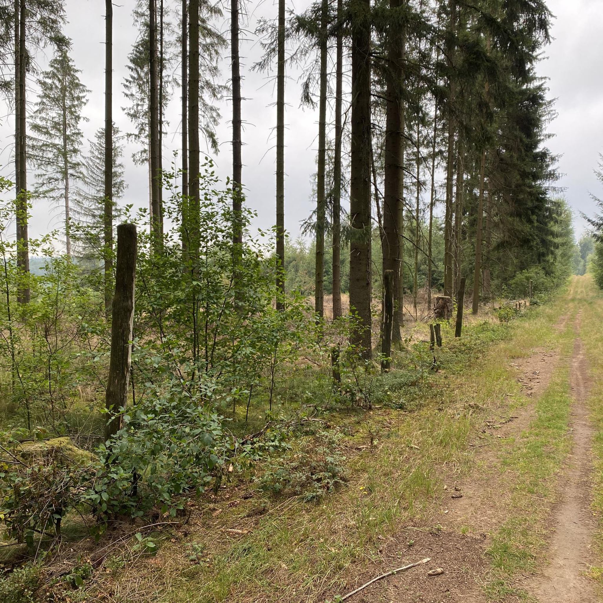
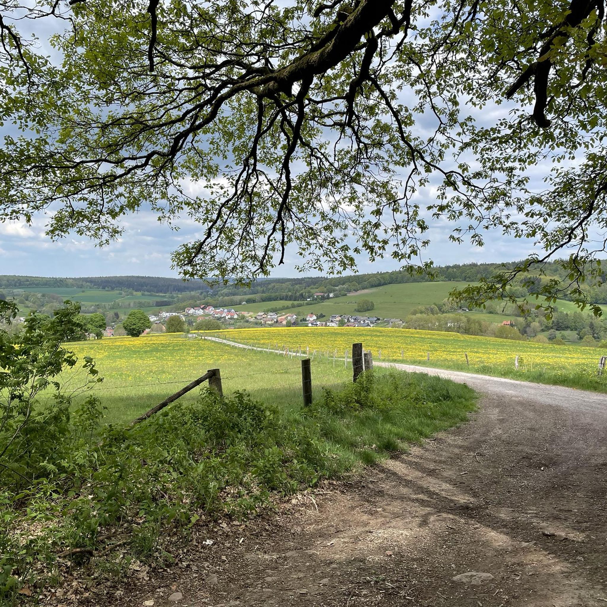
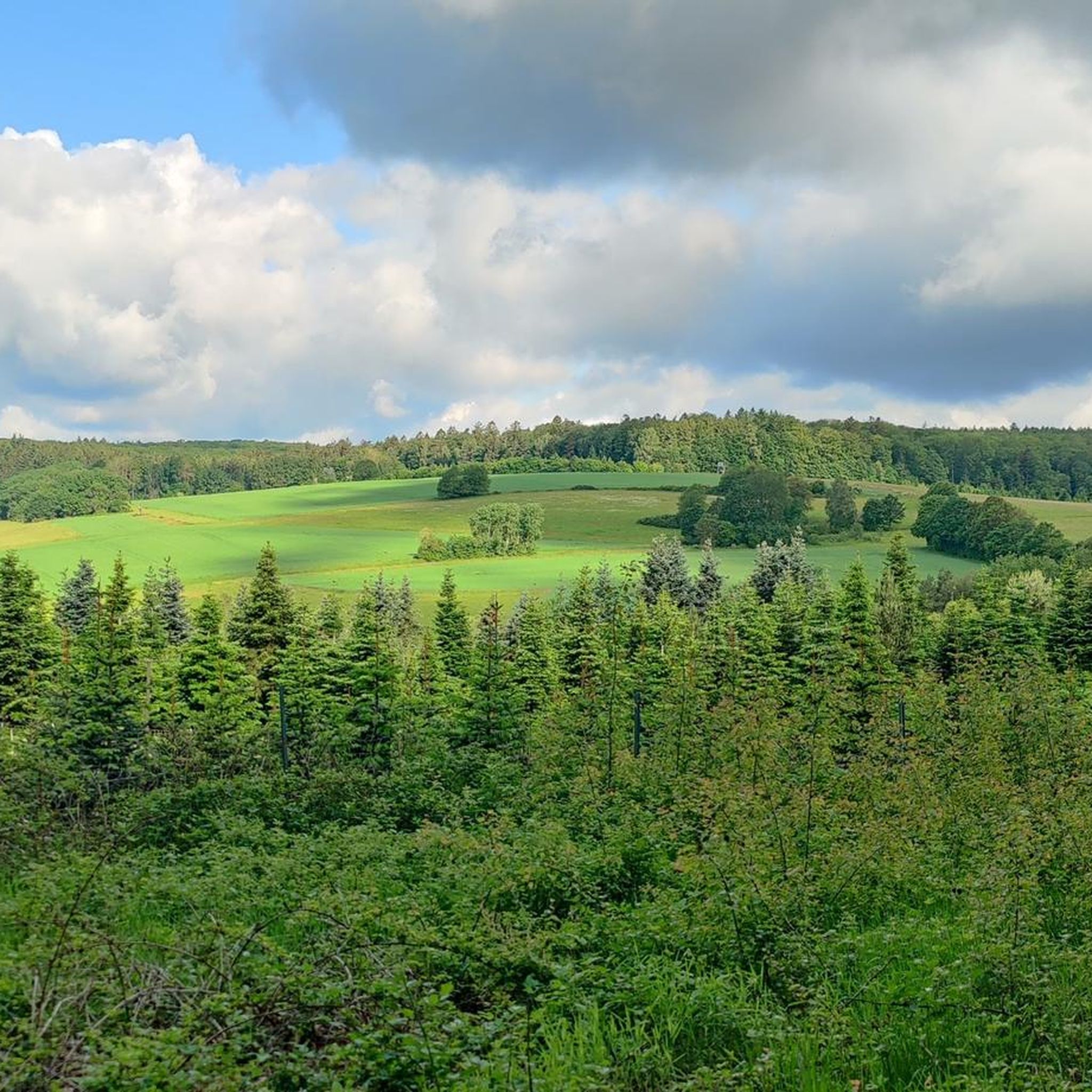
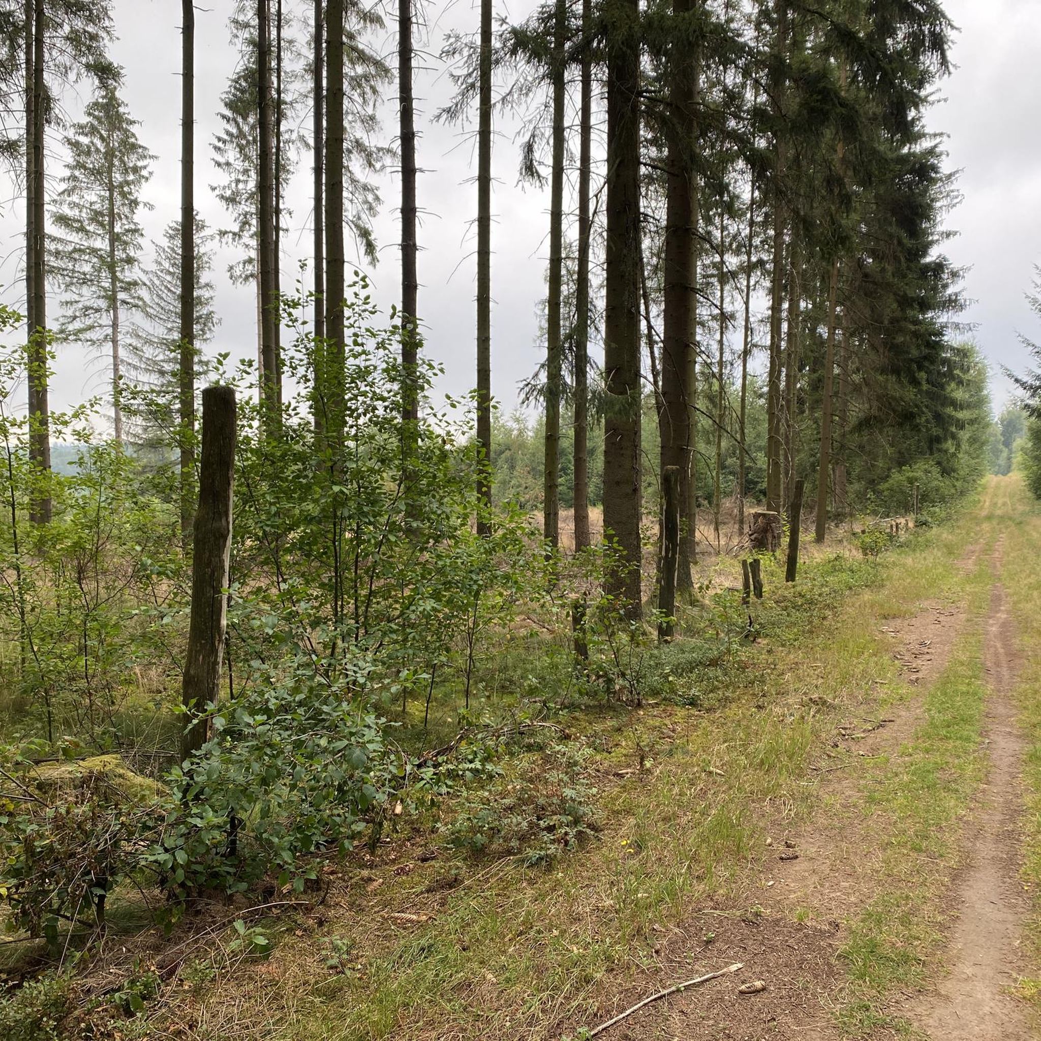

コミュニティからのヒント

アウバッハは、上流ではのどかなアウバッハ谷を非常にゆったりと流れる小さな小川/川です。20キロメートル以上流れた後、アウバッハはロール川に合流します。
2
0
これらは当時「Ludwigs-Westbahn」で一般的に建設された、古典的な円弧アーチ橋です。
2
0


🌲 On Historic Paths: Via the Donkey Trail to Pollasch This section of the Donkey Trail is a true highlight for hikers seeking peace and unspoiled nature. The trail leads through dense, atmospheric coniferous and mixed forests, offering a diverse hiking experience. What to expect on this section: Trail conditions: The path is predominantly a natural singletrack. Sometimes it leads over soft, pine-covered forest floor, and at other times over somewhat firmer, root-covered sections. Perfect for a joint-friendly and authentic hiking experience. The trail markings: Look for the distinctive black "E" on a white background. As you can see in the pictures, the trail is excellently signposted (often directly on the stately fir and spruce trees), so it's almost impossible to lose your way. Flora & Fauna: The interplay of light and shadow is particularly beautiful. In the more open sections, tall grass and ferns line the path. With a bit of luck, you might discover interesting tree fungi growing on the old trunks, just like in the photos. Atmosphere: There's an almost meditative stillness. The high treetops shield you from the wind and everyday noises, while the scent of pine needles fills the air. Tip for the hike: The path towards Pollasch features gentle inclines along the way. Sturdy footwear is recommended due to the root sections and the sometimes uneven ground.
0
0

Heinrichsthal is a municipality in the Lower Franconian district of Aschaffenburg and a member of the Heigenbrücken administrative community. It is the highest municipality in the entire Spessart and the smallest municipality in the Aschaffenburg district. The municipality is located in the Bavarian Lower Main region at the upper end of the Lohrbach Valley. The highest point in the municipality is the peak of Schindershöh at 522 m above sea level (location), and the lowest is at the Lohrbach stream near Unterlohrgrund at 313 m above sea level (location). The Kahltal-Spessart cycle path runs through the village. In 1636, the name of the master of a glassworks located in this region first appeared: Heinrich Fleckenstein of the glassworks in Wollersbuch. Another master glassworks owner, Jacob Fleckenstein, is also mentioned in 1639. In 1647, Heinrich Fleckenstein's glassworks was located in the Lohrgrund, but it burned down for less than 34 weeks. An account book from 1652 reveals that Heinrich and Jacob were brothers. In 1664, the two place names "Heinrichs grundt and Jacobs thael" first appeared as location designations. The latter became the present-day village of Jakobsthal. A new stage in the village's history began in 1678, when Heinrichsthal was first mentioned as a village. The first taxes had to be paid for seven houses and ten head of cattle. Heinrich Fleckenstein's initials were incorporated into the Heinrichsthal coat of arms. Source: Wikipedia
1
0
ヴィーゼナーフォルストでのの人気観光スポット

komootモバイルアプリでインスピレーションを得よう


さらに探索
他の地域の最高のMTBトレイルを見てみましょう。
