グローソストハイムのおすすめMTBライド
4.7
(234)
745
ライダー
65
ライド
グローソストハイム周辺には魅力的なマウンテンバイクルートがいくつもありますが、冒険を始めるにはその場所とルートを把握する必要があります。ここでは、komootが提供するグローソストハイム周辺でのマウンテンバイクルートのコレクション全体を評価して選び抜いた、人気ルートをご紹介します。各ライドの詳細をぜひご覧ください。
最終更新日: 10月 18, 2026
4.8
(13)
82
ライダー
32.7km
02:52
690m
690m
中程度のマウンテンバイクライド. ある程度のフィットネスレベルが必要です。 高度なライディングスキルが必要です。
4.8
(30)
100
ライダー
24.8km
02:07
380m
380m
中程度のマウンテンバイクライド. ある程度のフィットネスレベルが必要です。 高度なライディングスキルが必要です。

5.0
(13)
49
ライダー
29.4km
02:32
460m
460m
中程度のマウンテンバイクライド. ある程度のフィットネスレベルが必要です。 高度なライディングスキルが必要です。
4.5
(6)
44
ライダー
23.1km
01:57
330m
330m
中程度のマウンテンバイクライド. ある程度のフィットネスレベルが必要です。 高度なライディングスキルが必要です。
4.9
(11)
28
ライダー
15.2km
01:10
200m
200m
中程度のマウンテンバイクライド. あらゆるフィットネスレベルに適しています。 高度なライディングスキルが必要です。
さらに多くのルートや他のユーザーのおすすめ情報を確認できます。
すでにアカウントをお持ちですか?
おすすめのツアーは他のkomootユーザーが実際に経験した何千ものアクティビティに基づいています。
無料アカウントで今日から始めよう
次の冒険が待っています。
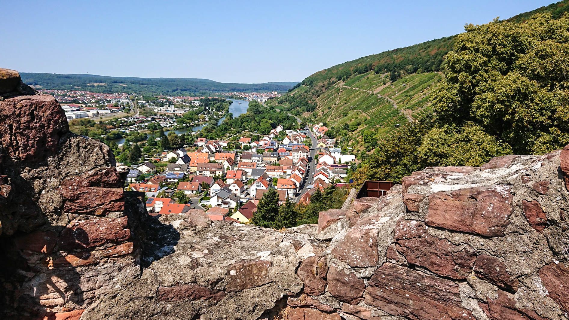
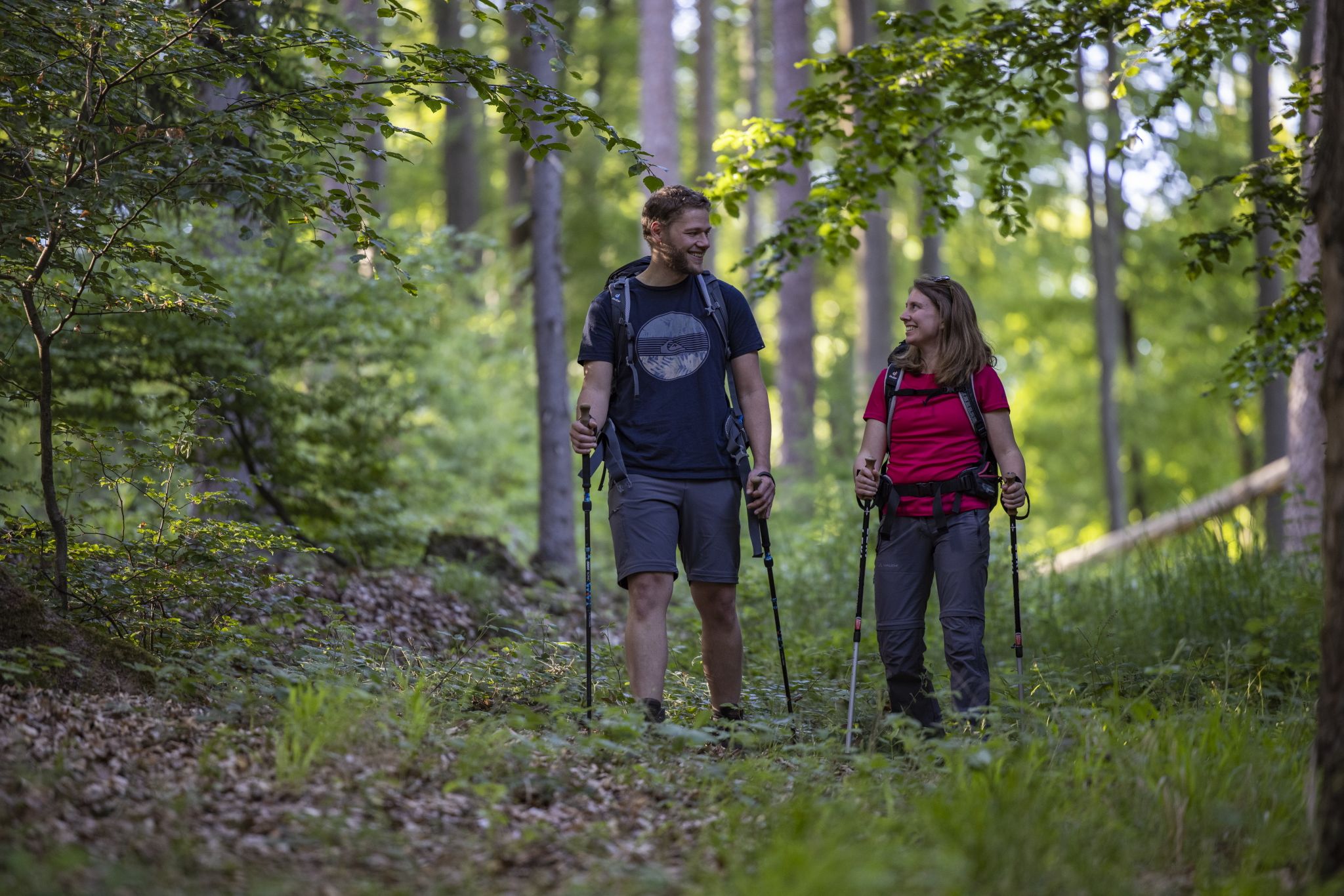
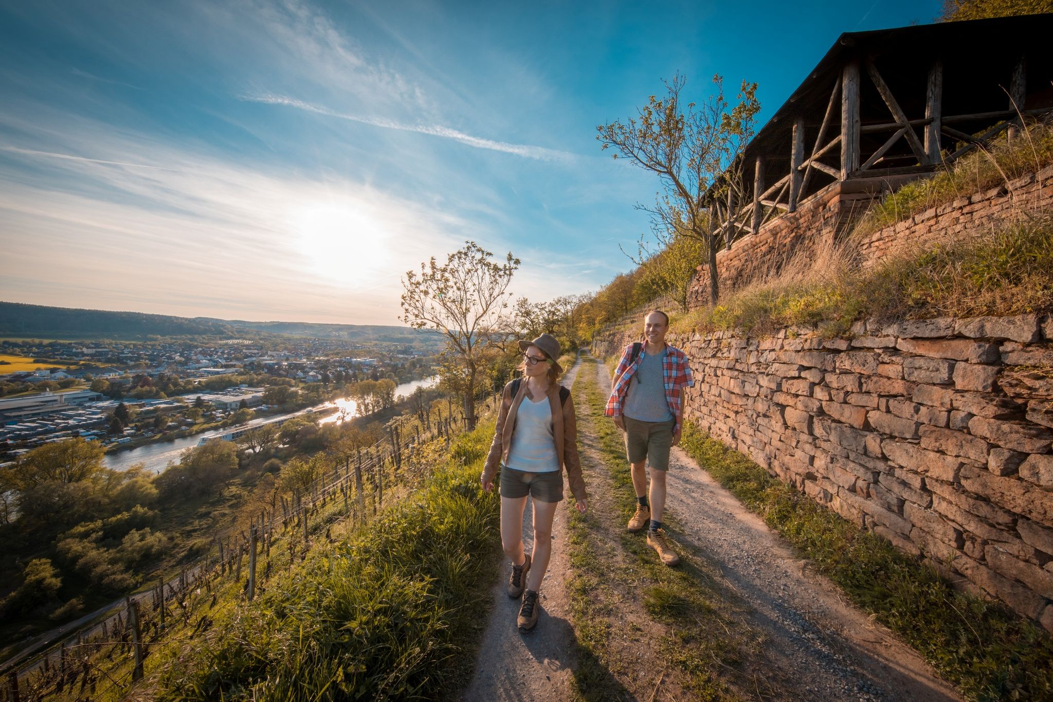
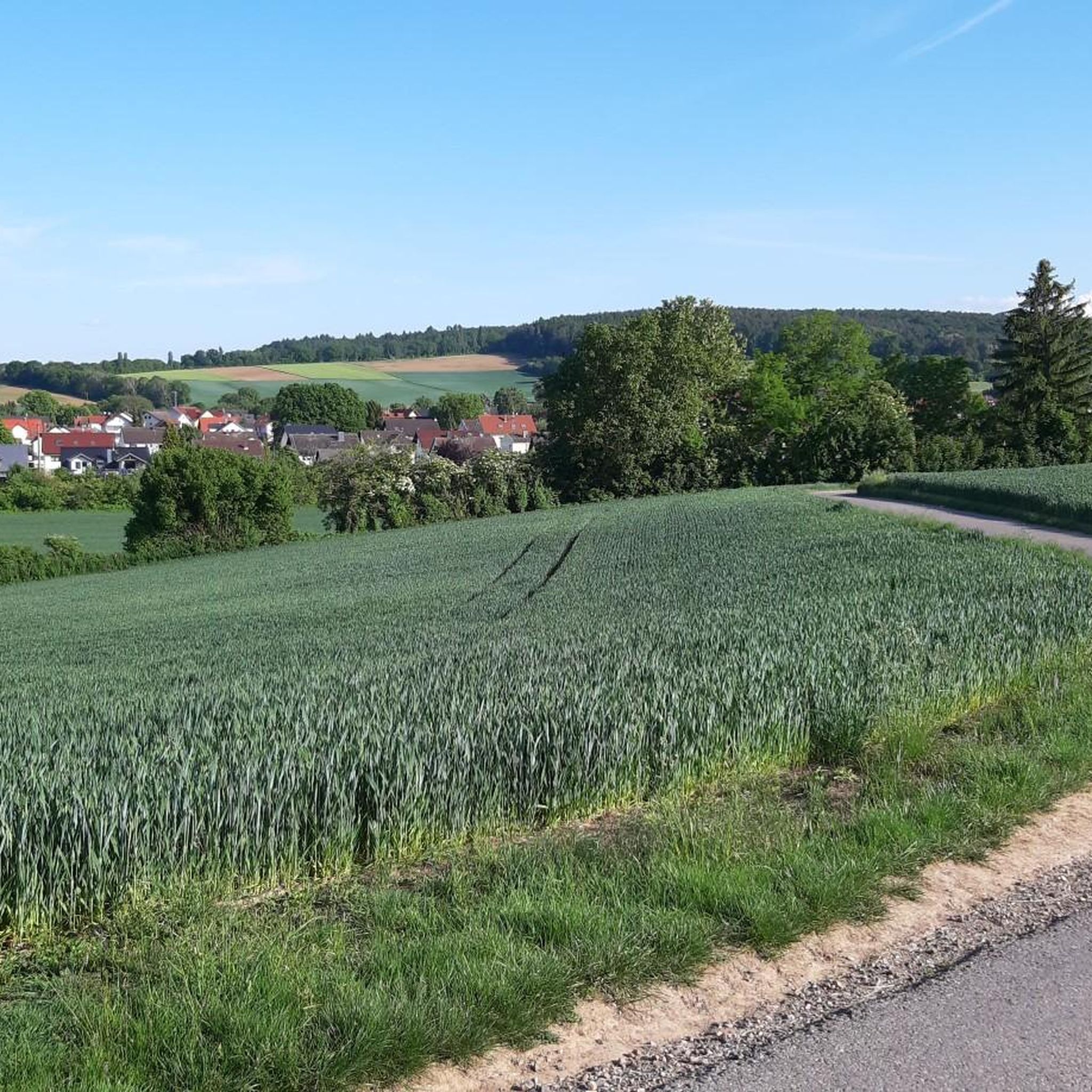
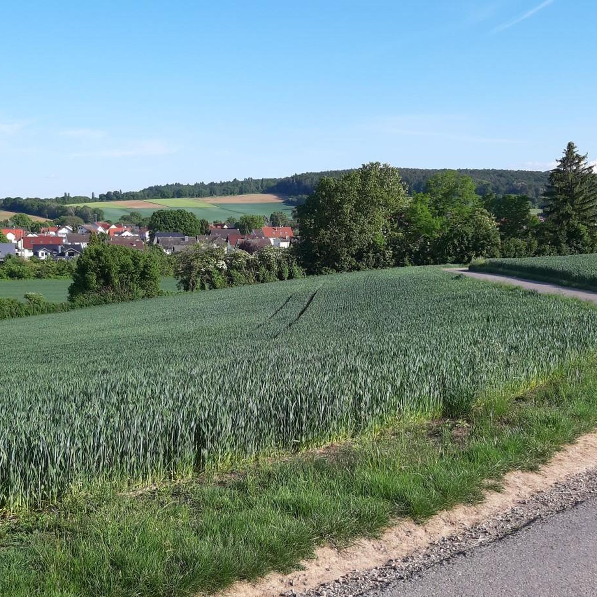
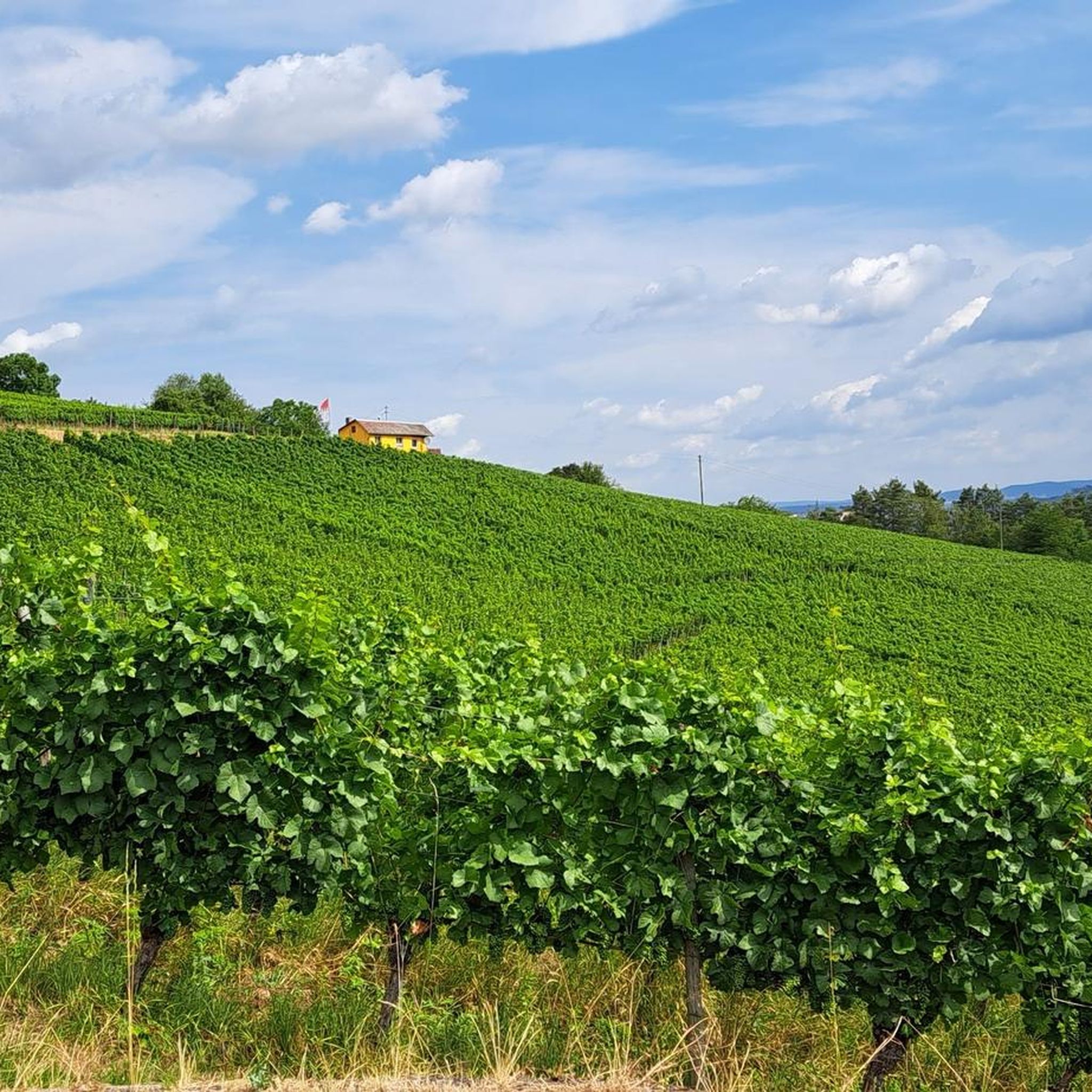
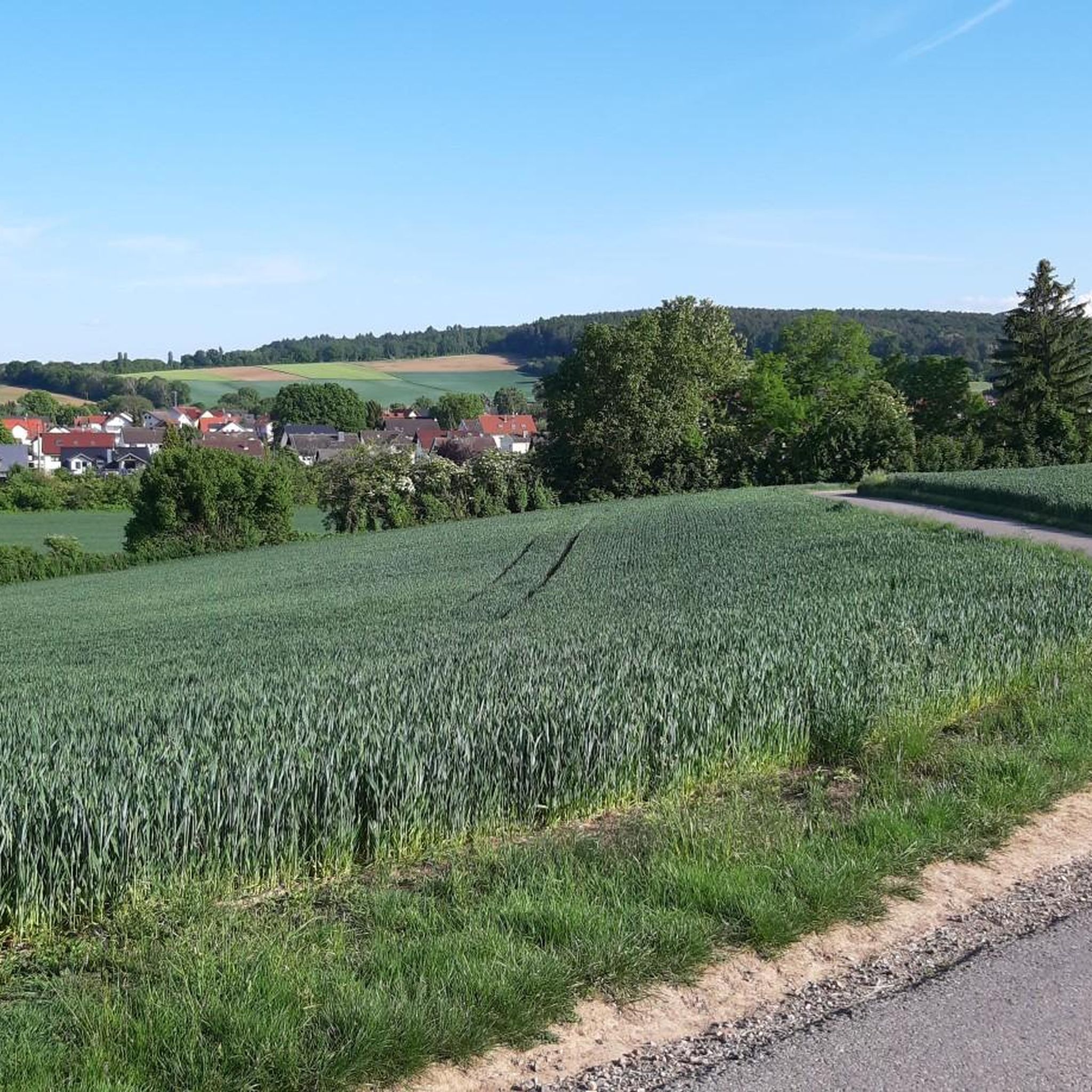
グローソストハイムでのの他の冒険


コミュニティからのヒント


通過するための涼しいトンネル。真ん中に水が溜まっていることがあるので、少し外側を走るのが良いでしょう。
1
0


プフラウムハイムのトレイルの開始地点は、生ゴミ収集場所になったため、現在アクセスできず、閉鎖されています。
0
1

夏の間、道は部分的にかなり茂っています。
1
0

急いでいるときは、道の交差点にある公衆トイレが役に立ちます。水洗トイレで、雨天時のみ利用可能です。:-)
0
0

Anyone who fancies a high-speed trip back in time simply has to include this section between Pflaumheim and Mömlingen in their logbook! Where the steam locomotives of the Bachgau Railway once chugged, the track now belongs to us – and the feeling is absolutely epic. Why you have to ride this: The tunnel thrill: The absolute highlight! You shoot from daylight straight into the dark tunnel. The adrenaline surges as the light at the end of the tunnel (screenshots 8 & 9) grows ever brighter. A true sensory experience! Flowing straights: The track winds its way straight through the landscape (screenshots 3 & 4). Perfect for letting the chain stay on the right and really putting the power down on the pedals – especially in winter, the contrast between the dark gravel and the white powder on either side is fantastic. Panoramic views & solitude: As soon as you emerge from the wooded ravines, sweeping vistas open up across the snow-covered fields of the Bachgau region (Screenshots 1 & 6). 💡 Pro tip for winter: While the route isn't technically demanding, the tunnel passage can be tricky. Watch out for potholes or patches of ice in the dark – a good handlebar light will help you safely navigate this "point of no return"! Verdict: A must for all gravel enthusiasts and MTB aficionados in the region. Fast, steeped in history, and with the tunnel feature, an absolute guarantee for a good time. #Bachgaubahn #GravelKing #TunnelRide #Pflaumheim #Mömlingen #WinterRide #LostPlaces #VeloAdventures
1
1
A Green Tunnel for Explorers As can be seen in your photos (especially the first and last), the route often resembles a "green tunnel" today. The dense hedges and trees on either side of the path not only provide shelter from the wind but also create a unique, almost enchanted atmosphere. This natural shade is a major plus for cyclists, especially on hot summer days. Between Technology and Nature One of your photos shows a section with gravel and construction fences on a raised area. This illustrates two things: The railway's history: The gravel bed on which the tracks used to lie is still clearly visible. Maintenance measures: Since the route often crosses embankments or small bridges, these structures must be regularly maintained to keep the path usable for hiking and cycling. Historical Signposts The close-up photo of the sign on the tree is particularly valuable. These small information panels are typical for the region: They often mark the exact location of former stops or significant sections of the route. They serve as a guide for history buffs who want to trace the exact route of the Aschaffenburg–Höchst railway line. Scenic Contrast Your photos, with their views across the expansive fields, clearly illustrate why the railway line was so important: it directly connected the fertile agricultural landscape of the Bachgau region with the trading center of Aschaffenburg. The contrast between the narrow, shady path and the open, expansive cultural landscape is what makes this tour so appealing.
1
0

komootモバイルアプリでインスピレーションを得よう


さらに探索
他の地域の最高のMTBトレイルを見てみましょう。
