4.7
(3905)
11,609
ライダー
618
ライド
ハインリッヒシュターラーフォルスト周辺には魅力的なマウンテンバイクルートがいくつもありますが、冒険を始めるにはその場所とルートを把握する必要があります。ここでは、komootが提供するハインリッヒシュターラーフォルスト周辺でのマウンテンバイクルートのコレクション全体を評価して選び抜いた、人気ルートをご紹介します。各ライドの詳細をぜひご覧ください。
最終更新日: 7月 15, 2026
4.8
(35)
133
ライダー
42.7km
03:48
850m
850m
中程度のマウンテンバイクライド. ある程度のフィットネスレベルが必要です。 高度なライディングスキルが必要です。
4.7
(60)
153
ライダー
36.8km
02:57
400m
400m
中程度のマウンテンバイクライド. ある程度のフィットネスレベルが必要です。 高度なライディングスキルが必要です。

無料新規登録
5.0
(24)
135
ライダー
24.1km
02:17
590m
590m
中程度のマウンテンバイクライド. ある程度のフィットネスレベルが必要です。 高度なライディングスキルが必要です。
4.8
(24)
68
ライダー
60.6km
04:12
790m
790m
難しいマウンテンバイクライド. ある程度のフィットネスレベルが必要です。 高度なライディングスキルが必要です。ツアーの一部で自転車を押して歩く必要があるかもしれません。
4.8
(29)
72
ライダー
38.0km
02:45
380m
380m
中程度のマウンテンバイクライド. ある程度のフィットネスレベルが必要です。 あらゆるスキルレベルに適しています。
さらに多くのルートや他のユーザーのおすすめ情報を確認できます。
無料新規登録
すでにアカウントをお持ちですか?
おすすめのツアーは他のkomootユーザーが実際に経験した何千ものアクティビティに基づいています。
無料アカウントで今日から始めよう
次の冒険が待っています。
ログインまたは登録
The History Systematic meadow irrigation to increase hay and forage yields has been documented in the Spessart since 1453 and was still widespread in the stream valleys until the mid-20th century. The first mention of dam irrigation on the Wöhrde can be found in a document from 1663. Source: Information board at the site
1
0
The Hafenlohr is a 26.5 km long (27.7 km including the Tiergartenbach) right tributary of the Main River in the districts of Aschaffenburg and Main-Spessart in the Bavarian Spessart region. The Hafenlohr rises from two springs in the municipality of Rothenbuch. The longer and occasionally more water-rich branch is the Tiergartenbach, which often dries up on dry days. Officially, it is considered the upper course of the Hafenlohr main watercourse. The source, known as the Hafenlohr Spring, in the center of the village provides water almost year-round. The Hafenlohr Spring is located at Rothenbuch Castle. It was encased in sandstone during the road widening of the St 2317. Its water flows northwest through the castle moat and, after about 100 meters, flows from the left bank into the bed of the Tiergartenbach, which flows from the Tiergartengrund on the northern edge of the village and is already 1.3 km[7] long. It doesn't provide water year-round, but at times it provides more than the perennial spring at the castle. The spring at the castle was probably once a meeting place for hunters in the eastern Spessart, which is why construction of a hunting lodge began here in 1342. The spring water fed the castle moat and several surrounding trout lakes, which no longer exist. Source and further information: https://de.wikipedia.org/wiki/Hafenlohr_(Fluss)
1
0
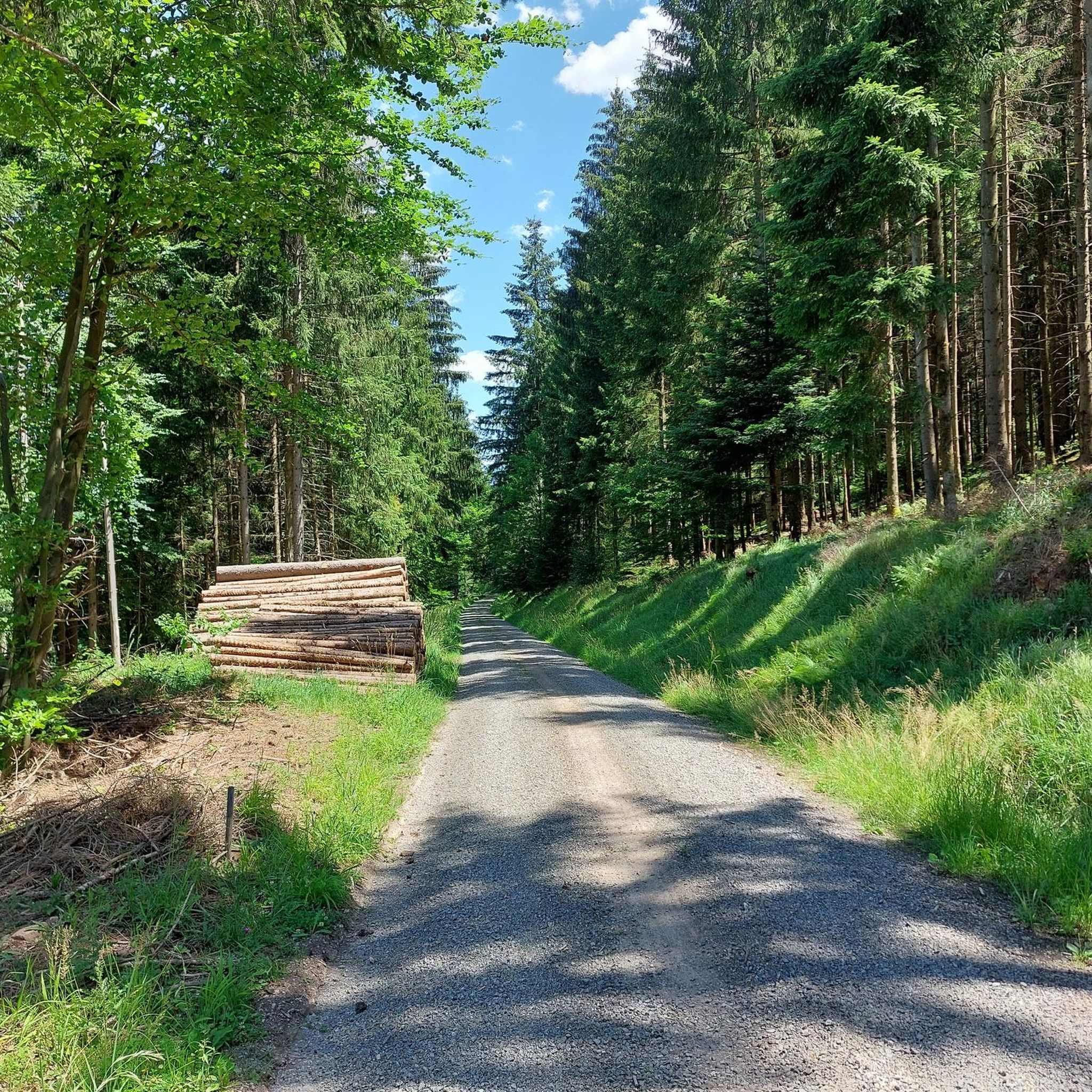
Sometimes there is a tree 🌳 in the way.
1
0
Lake Wiesbütt (formerly Lake Hanauer See) is a forest lake in the Main-Kinzig district of Hesse, in the Spessart region. Lake Wiesbütt is located in the municipality of Flörsbach in the municipality of Flörsbachtal, directly on the state border with Bavaria. The Bavarian/Hessian border runs along the western shore, at the foot of the dam. To the west lies the unincorporated area of Wiesener Forst in the Bavarian district of Aschaffenburg. To the north lies the Spessart High Road (L 2905) and the two old trade routes: Birkenhainer Straße and Eselsweg. To the southwest lies the village of Wiesen in Lower Franconia, to the southeast Mosborn, a district of the municipality of Flörsbachtal, and to the north Bieber, a district of the municipality of Biebergemünd. The artificial lake, created for energy generation and ventilation of the Bieber mines, is now located on the edge of the Wiesbüttmoor nature reserve. The lake has no surface inlet; it is fed underground from the Wiesbüttmoor. A natural overflow drains the water into the Aubachtal valley via the Wiesbüttgraben. The Wiesbüttsee, with its diverse flora, some of which is already threatened with extinction, is part of one of the last raised bogs in Germany. It was created in 1765 by Bieber miners according to plans by mining master Johann Philipp Cancrinus to ventilate and drain the Lochborntalgrund silver, copper, and lead mine tunnels in the summer. It was also intended to provide sufficient water for the Bieber ironworks and the hammer mill. Due to the exceptional ore deposits in the area around Bieber, extensive mining was carried out during this period. The Wiesbüttsee served as a water source for the hydropowered mining machines used to drain and ventilate the tunnels. The water power powered the conveyor system of the ironworks in the Lochhütte until 1925. The former customs house (later a restaurant) commemorates the Bavarian border that was once controlled here. Source: https://de.wikipedia.org/wiki/Wiesbüttsee
3
0


他の地域の最高のMTBトレイルを見てみましょう。