ヴィーベルスハイムのおすすめウォーキング&ハイキングルート
4.6
(17895)
61,430
ハイカー
13
ハイキング
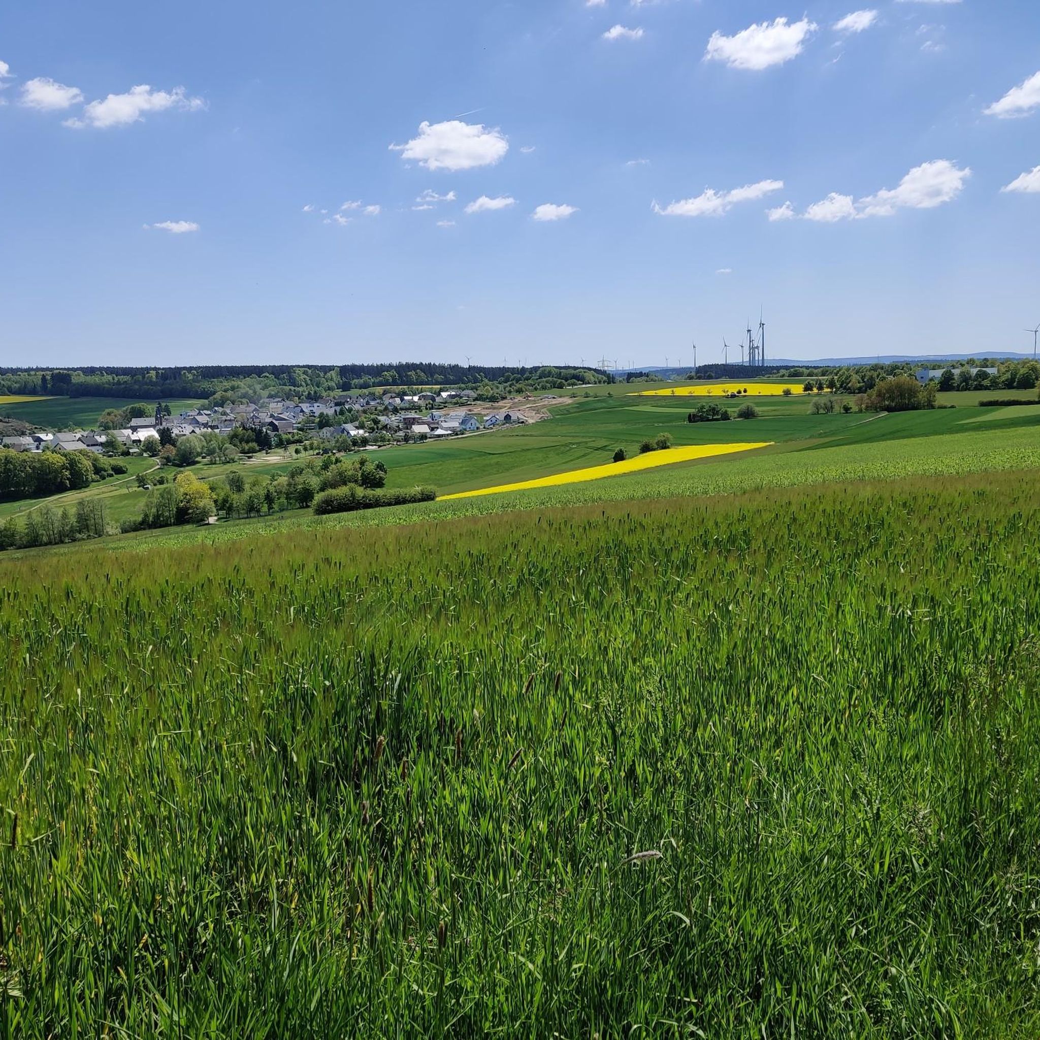
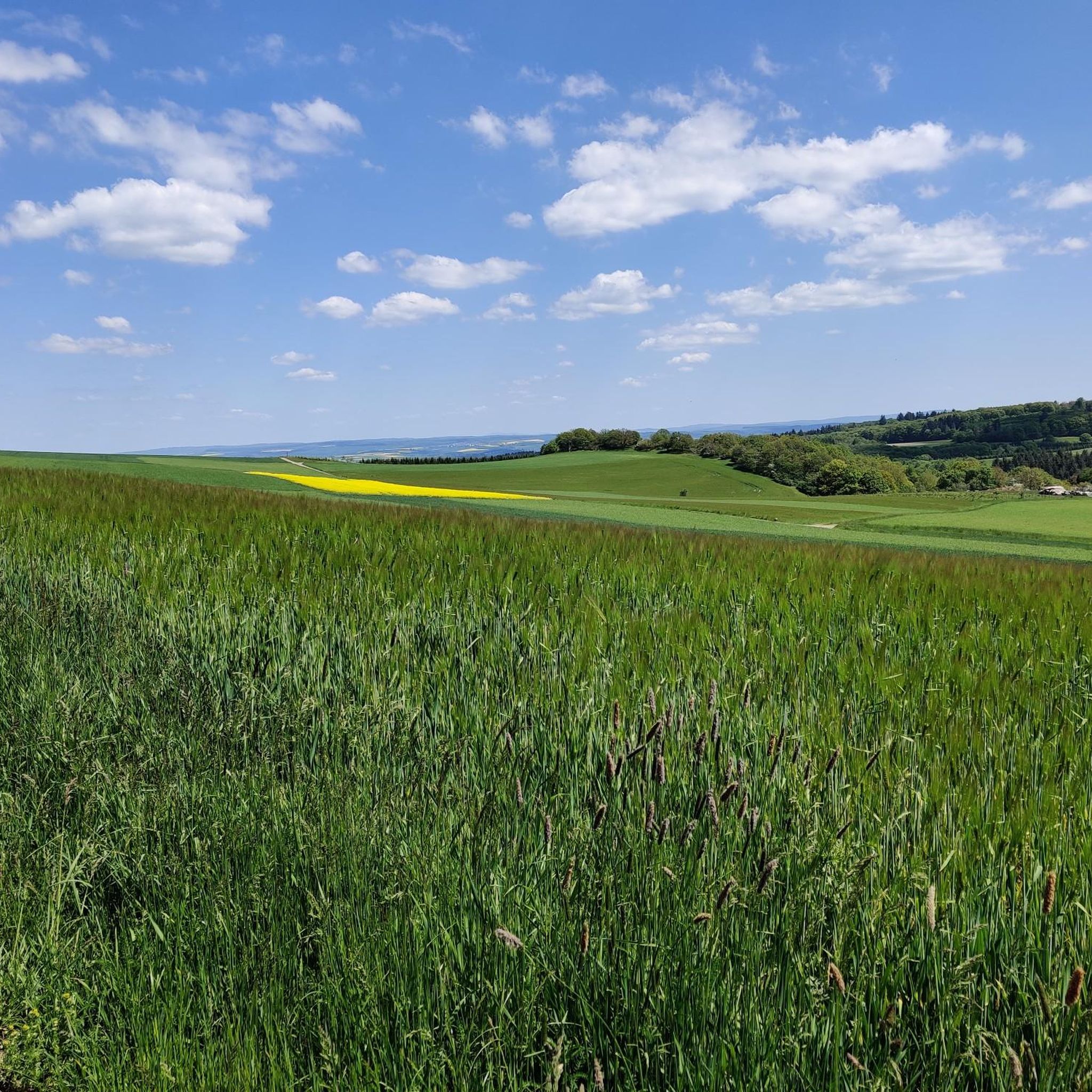
ヴィーベルスハイム周辺でのハイキングは、景色を満喫するのに最適な手段のひとつですが、適切なハイキングルートを見つけることは簡単ではありません。 ヴィーベルスハイム周辺の人気ハイキング&ウォーキングコースを参考にすれば、行きたいルートをすぐに見つけられます。
最終更新日: 11月 1, 2026
4.5
(4)
11
ハイカー
7.36km
02:00
110m
110m
中程度のハイキング. ある程度のフィットネスレベルが必要です。 歩きやすい道です。
4.0
(2)
8
ハイカー
6.92km
01:55
120m
120m
初級者向けハイキング. 歩きやすい道です。

4
ハイカー
5.75km
01:33
80m
80m
初級者向けハイキング. 歩きやすい道です。
4.4
(5)
9
ハイカー
10.1km
02:46
160m
160m
中程度のハイキング. ある程度のフィットネスレベルが必要です。 歩きやすい道です。
5.0
(1)
5
ハイカー
7.75km
02:06
100m
100m
中程度のハイキング. ある程度のフィットネスレベルが必要です。 歩きやすい道です。
さらに多くのルートや他のユーザーのおすすめ情報を確認できます。
すでにアカウントをお持ちですか?
おすすめのツアーは他のkomootユーザーが実際に経験した何千ものアクティビティに基づいています。
無料アカウントで今日から始めよう
次の冒険が待っています。
コミュニティからのヒント

Hello 🙋♂️, is the route from the motorway bridge (A 61) past here to Damscheid passable with a normal e-bike plus luggage in summer?
0
0

Very nice also for a short rest on the Aldegundis circular trail
0
0

This memorial was erected in memory of the chapel destroyed at the end of the 18th century
0
0


Cool place, here you will also find some trails in the forest
0
0

The Simmerbach shared Laudert not only politically, but also ecclesiastically. The Palatinate part originally belonged to the parish of Kisselbach-Schoenenberg founded by Boppard, after the dissolution as a branch of Rayerschied (1709) in the Kirner, later Simmerer country chapter (Archdiocese of Mainz). According to the visitation report from 1475, the Trier part of Laudert was directly subordinate to St. Martin in Oberwesel and has been mentioned since 1730 in the parish of Perscheid, and in 1786 as a branch of Damscheid. In the French organization charts of 1803, no distinction was made between the two parts of Laudert. In 1805 Laudert came to the newly founded parish of Lingerhahn. Efforts in 1824 and 1882 to found a separate parish with a branch in Wiebelsheim were unsuccessful. https://www.regionalgeschichte.net/mittelrhein/laudert/kulturdenkmaeler/katzer-kirche.html
0
0

Embedded in a natural world of experience with trees, rock gardens, meadows and a stream, there are facilities on the site such as a skate park, construction trailer (used as a youth room), zip line, campsite, barbecue area with weather protection, beach volleyball field, football field, climbing hill with tube tunnel, maze, landslide with a climbing tower, boule area, clicker area, large chess game, small children's playground with sand troughs, carousel or monkey swing. Built in 2003. Source: https://www.wiebelsheim.de/tourismus/naturnaher-erlebnisspielraum
0
0
The Königsfeld hiking car park near Wiebelsheim is somewhat hidden, but signposted along the road. An outdated map shows the local hiking trails, e.g. the Königsfeld loop. South-east beyond the district road K88 there is a whole row of burial mounds on the Gebück path north of the NSG Struth, which can be easily reached from here (can be read on the map on site or via https://maps.rlp.de/ )
0
0

komootモバイルアプリでインスピレーションを得よう


さらに探索
他の地域の最高のハイキングを見てみましょう。
