ビショフスホーフェンのおすすめウォーキング&ハイキングルート
4.5
(796)
3,757
ハイカー
96
ハイキング
ビショフスホーフェン周辺でのハイキングは、景色を満喫するのに最適な手段のひとつですが、適切なハイキングルートを見つけることは簡単ではありません。 ビショフスホーフェン周辺の人気ハイキング&ウォーキングコースを参考にすれば、行きたいルートをすぐに見つけられます。
最終更新日: 10月 11, 2026
4.7
(112)
449
ハイカー
11.6km
04:07
510m
510m
中程度のハイキング. ある程度のフィットネスレベルが必要です。 全般的に進みやすいルートです。安定して歩行できる技術が必要です。
4.6
(132)
503
ハイカー
7.28km
02:16
250m
250m
中程度のハイキング. ある程度のフィットネスレベルが必要です。 全般的に進みやすいルートです。安定して歩行できる技術が必要です。

4.9
(61)
202
ハイカー
7.69km
03:13
540m
540m
中程度のハイキング. ある程度のフィットネスレベルが必要です。 全般的に進みやすいルートです。安定して歩行できる技術が必要です。
4.5
(72)
303
ハイカー
4.83km
01:41
220m
220m
中程度のハイキング. あらゆるフィットネスレベルに適しています。 全般的に進みやすいルートです。安定して歩行できる技術が必要です。
4.9
(30)
170
ハイカー
8.71km
04:40
850m
850m
中程度のハイキング. ある程度のフィットネスレベルが必要です。 全般的に進みやすいルートです。安定して歩行できる技術が必要です。
さらに多くのルートや他のユーザーのおすすめ情報を確認できます。
すでにアカウントをお持ちですか?
おすすめのツアーは他のkomootユーザーが実際に経験した何千ものアクティビティに基づいています。
無料アカウントで今日から始めよう
次の冒険が待っています。
ビショフスホーフェン周辺で人気
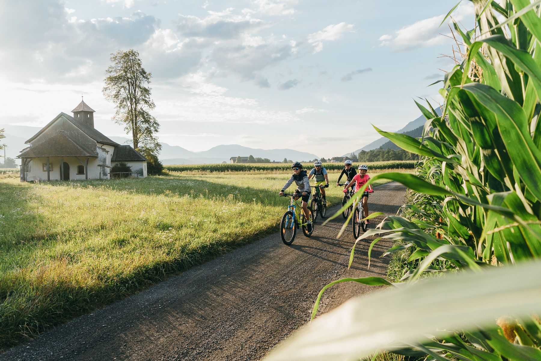
Pure enjoyment – over the Alps on the Alpe Adria cycle path
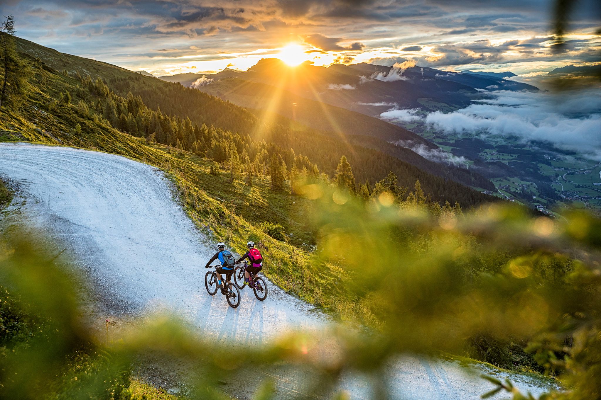
E-MTB – ワッツマン・ホーホケーニヒ・サーキットの高い場所
Top Tour tips from the bike hotels in Austria’s SalzburgerLand
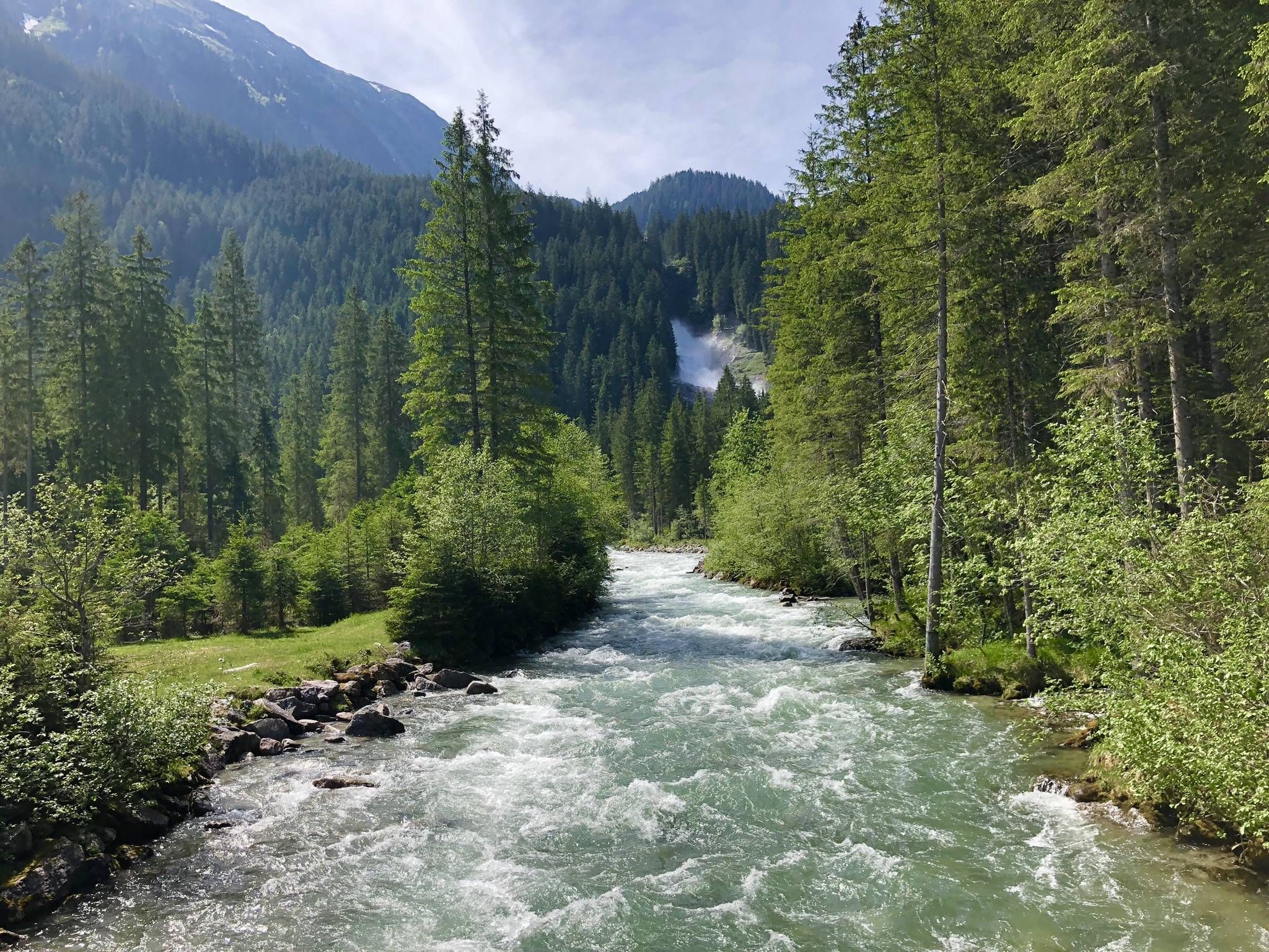
Alpine idyll と river romance - the Tauern CYCLE path
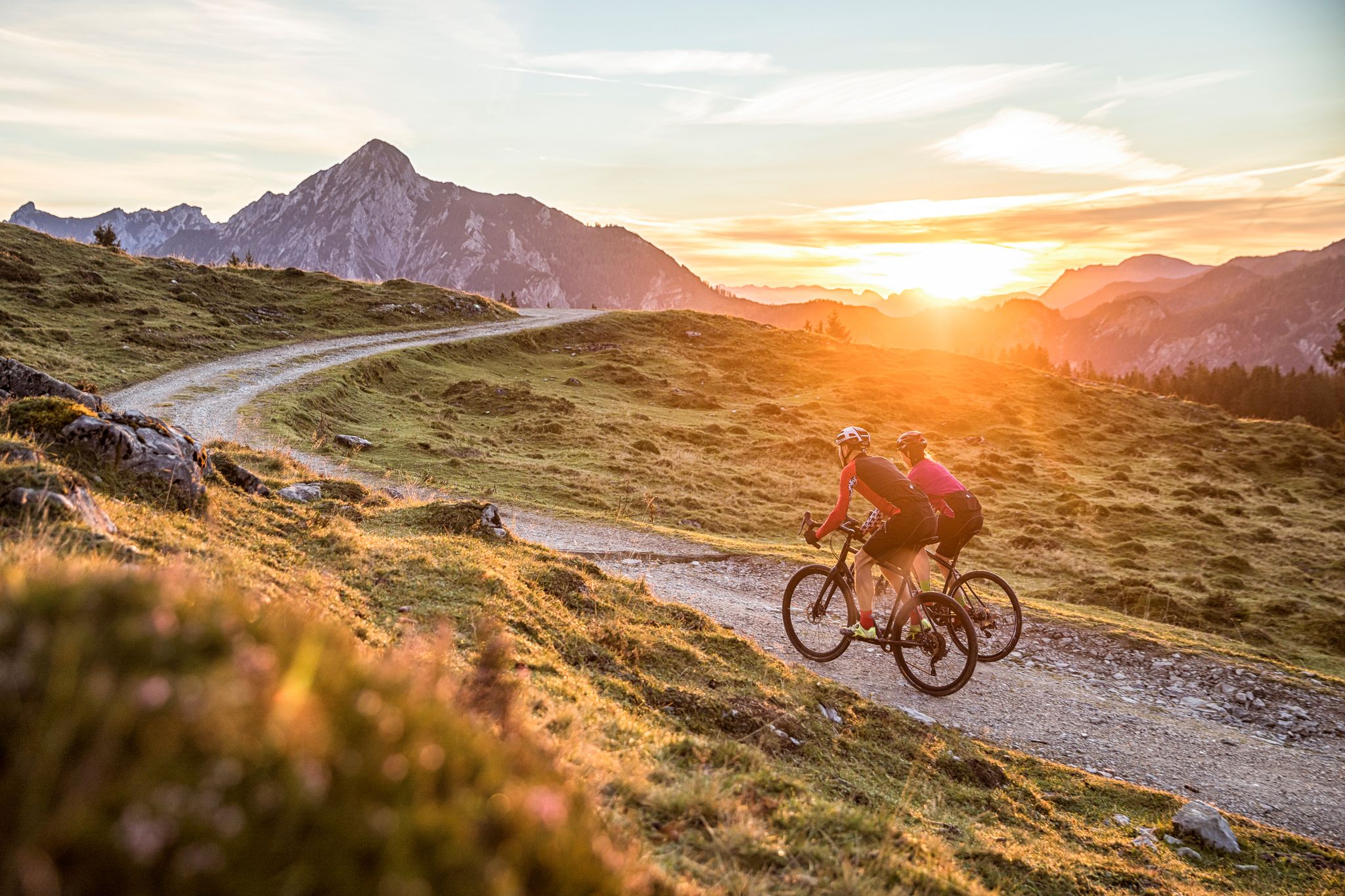
Bike Hotels im Salzburgerland
ビショフスホーフェンでのサイクリング
ビショフスホーフェンのMTBトレイル
ビショフスホーフェンのロードバイクルート
ビショフスホーフェンでののグラベルライド

ビショフスホーフェンでの登山&山歩き
ビショフスホーフェンでのの他の冒険


コミュニティからのヒント

これらの木製の柱(木製の杭やステラとも呼ばれます)は、Hochgründeckのアルペン牧草地にある自然競技場の観客席です。 頂上のすぐ下の鞍部(Heinrich-Kiener-Hausの近く)は、特に伝統的な「Ranggeln am Hochgründeck」のために、自然のスタジアムとして利用されています。Ranggelnは、アルプス地域(スイスのシュヴィンゲンに似ています)の伝統的な何世紀も前の格闘技で、ザルツブルク、チロル、バイエルンに深く根ざしており、ユネスコの無形文化遺産に登録されています。 毎年8月15日(聖母被昇天祭)には、何百人もの観客とラングラーが集まります。急な草の斜面であるため、地面に打ち込まれたこれらの木製の柱は、観客が斜面を滑り落ちることなく安定して座ったり立ったりできるように、足場、座席、および掴まる場所として機能します。
0
0

I arrived just in time to cool off in the water jet. I was a bit surprised by the relatively small spectator area; in Oberstdorf, it's considerably larger. I wonder how the spectators get up the mountain, given the steep and narrow road.
0
0

I was so looking forward to seeing the marmots. Unfortunately, I didn't spot any, but I did hear them 🙂. Nice, informative themed trail.
0
0
The Stegalm is located in the Hochkönig hiking area in Salzburger Land, below the Mittelfeldalm. It is a quiet, small hiking spot without any refreshment stops and is primarily used as a stopover on tours in the surrounding area – for example, towards the Mittelfeldalm or further to the Hochkeil. The alpine pasture offers a beautiful meadow landscape in the heart of the Berchtesgaden Alps. The Stegalm is particularly suitable for hikers who want to enjoy nature and the tranquility away from the staffed huts. From here, the path to the Mittelfeldalm leads steeply uphill.
0
0

After a short night at the Matras House and the descent from the Hochkönig, it was very good to replenish my reserves here.🍻
1
0

A great alternative to the final steep climb to the Mitterfeldalm. Sure footing is required, but it's less steep and less gravel.
2
0

The Mitterfeldalm welcomes you in a scenic location at the foot of the impressive almond walls. There are delicious, homemade specialties and a shady garden with a view of the Tennengebirge and the Hohe Tauern. There are 25 camping sites available for overnight stays. You can find more information at https://mitterfeldalm.at/index.php.
1
0

An easy snow hike from the Arthurhaus (300m). If you stop at the Arthurhaus, you don't have to pay for the parking space.
0
0

komootモバイルアプリでインスピレーションを得よう


さらに探索
他の地域の最高のハイキングを見てみましょう。
