ヘロイのおすすめウォーキング&ハイキングルート
4.6
(860)
4,667
ハイカー
33
ハイキング
ヘロイ周辺でのハイキングは、景色を満喫するのに最適な手段のひとつですが、適切なハイキングルートを見つけることは簡単ではありません。 ヘロイ周辺の人気ハイキング&ウォーキングコースを参考にすれば、行きたいルートをすぐに見つけられます。
最終更新日: 10月 21, 2026
4.8
(412)
1,866
ハイカー
6.52km
02:28
370m
370m
中程度のハイキング. ある程度のフィットネスレベルが必要です。 ほとんどが歩ける道です。足元への注意が必要です。
4.7
(33)
196
ハイカー
9.45km
04:07
620m
600m
中程度のハイキング. ある程度のフィットネスレベルが必要です。 ほとんどが歩ける道です。足元への注意が必要です。

4.9
(25)
74
ハイカー
6.37km
02:12
260m
260m
中程度のハイキング. ある程度のフィットネスレベルが必要です。 ほとんどが歩ける道です。足元への注意が必要です。
4.7
(3)
17
ハイカー
7.06km
02:26
190m
190m
中程度のハイキング. ある程度のフィットネスレベルが必要です。 ほとんどが歩ける道です。足元への注意が必要です。
4.8
(223)
1,389
ハイカー
3.67km
01:18
180m
180m
中程度のハイキング. ほとんどが歩ける道です。足元への注意が必要です。
さらに多くのルートや他のユーザーのおすすめ情報を確認できます。
すでにアカウントをお持ちですか?
おすすめのツアーは他のkomootユーザーが実際に経験した何千ものアクティビティに基づいています。
無料アカウントで今日から始めよう
次の冒険が待っています。
コミュニティからのヒント

ルンデ島の北西端、クヴァルネスに立つこの歴史的な灯台は、1767年から船を導いてきました。ノルウェーで最も古い灯台の一つであり、大西洋と島のドラマチックな海岸線を望むこの場所は、ハイカー、バードウォッチャー、そして夕日を求める人々にとって人気の目的地となっています。現在、かつての灯台守の家は、セルフサービスのDNTキャビンとして利用されています。
0
0

あなたは今、レモヤ島の最高地点に立っています。北には、ゴクソヤ島とヴァーデン山頂が見えます。
0
0
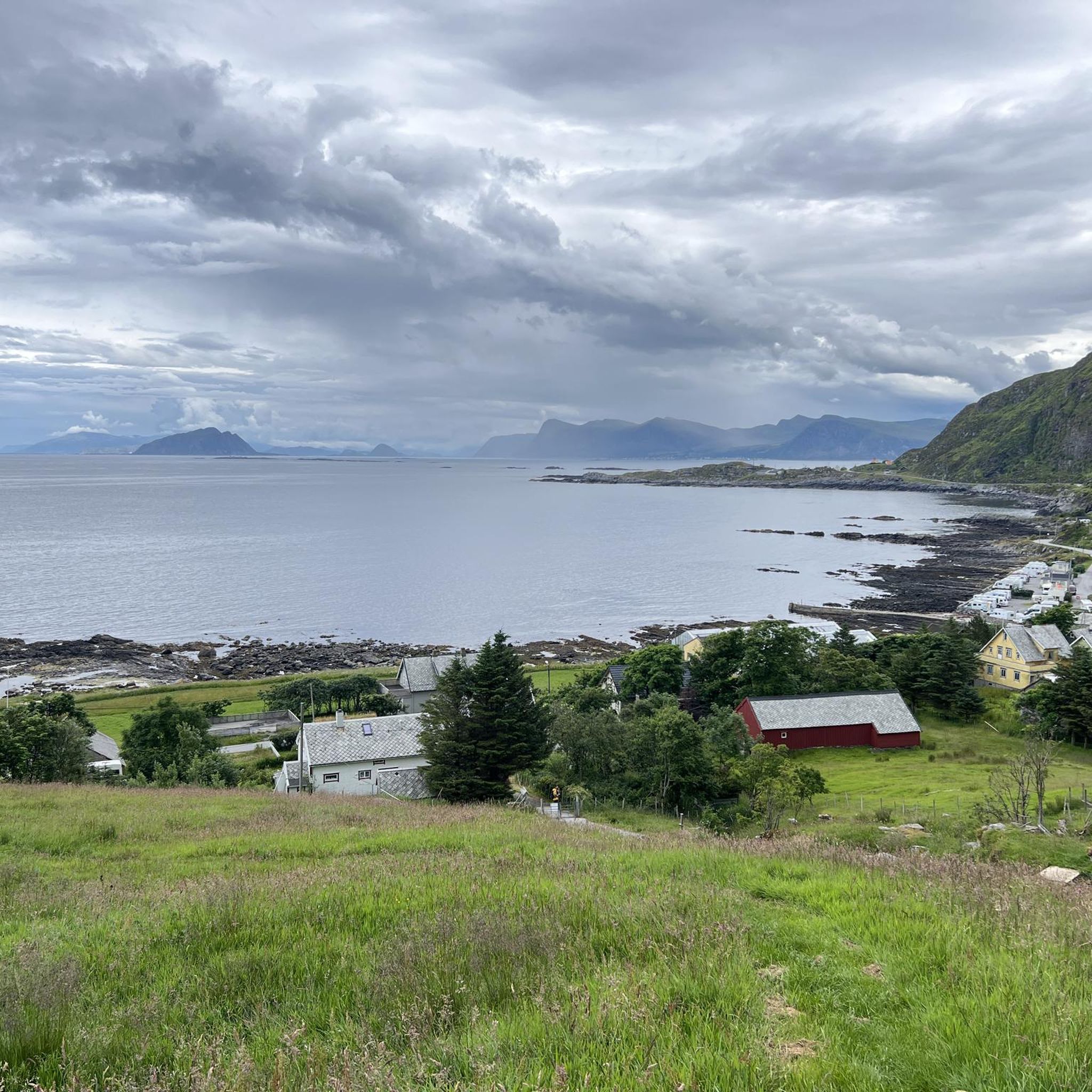
Remøya島では、水があらゆるところにあります。島を囲む海に加えて、この水辺の特性をさらに高める小さな湖があります。
0
0
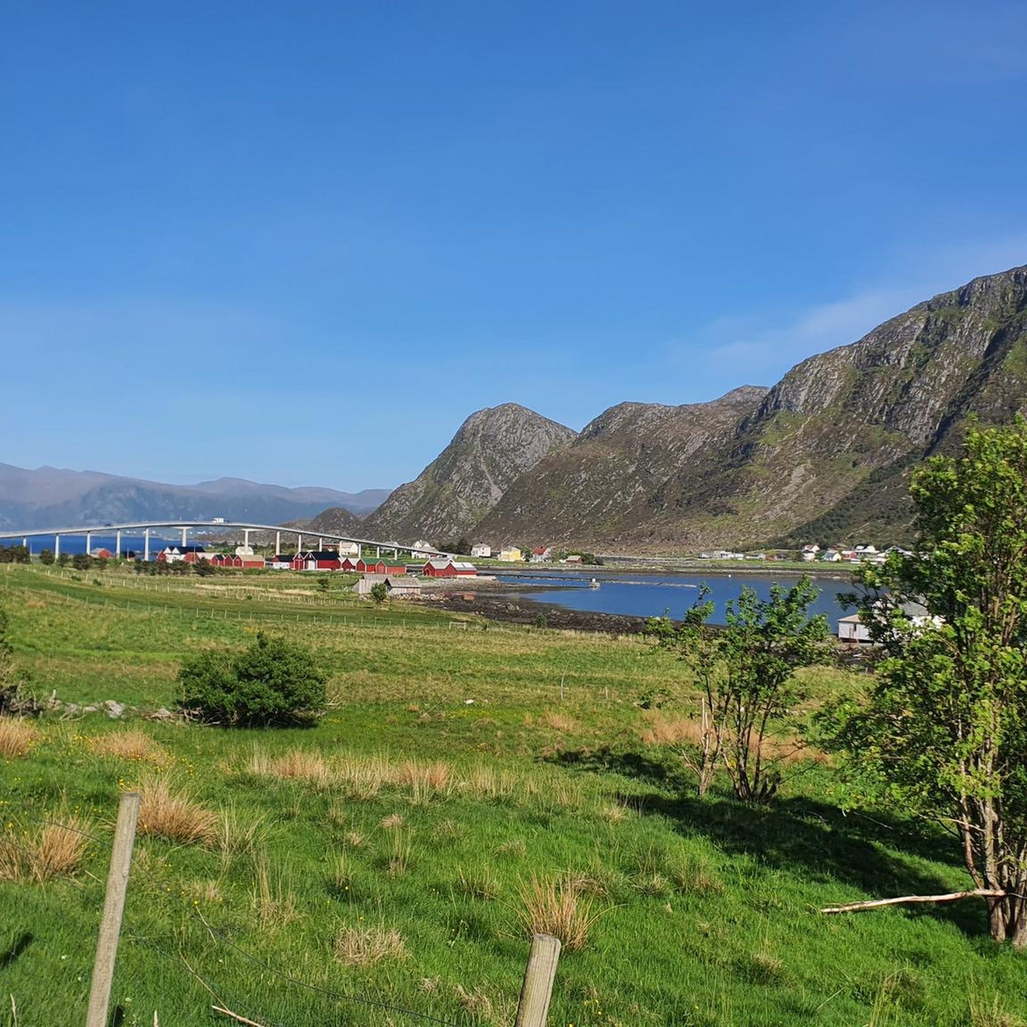
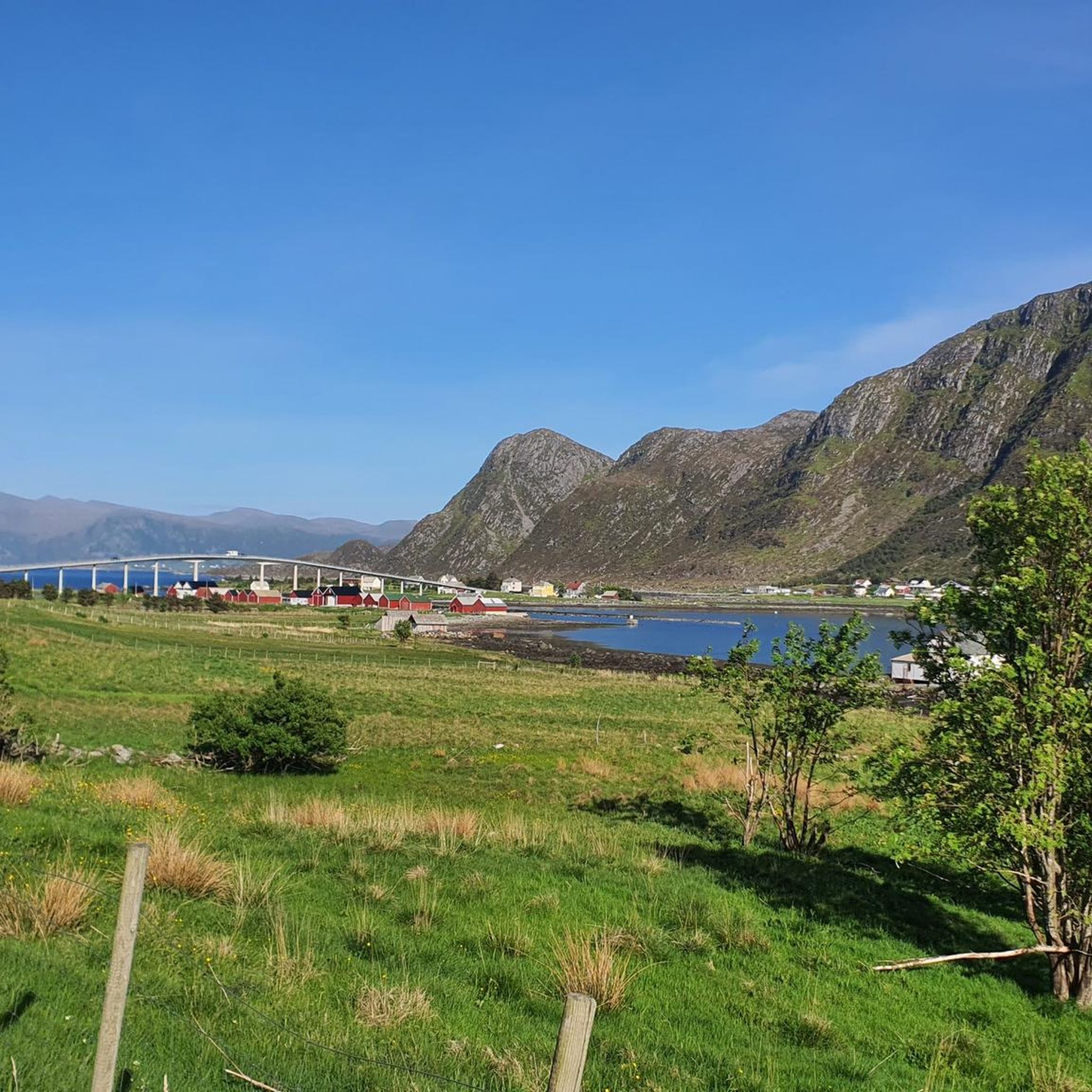
ここRemøya島からは、向かい合う様々な島々とそれらを構成する峰々を眺めることができます。Nerlandsøya島、Bergsøya島、そして何よりも橋の向こう側にあるLeinøya島と特徴的なLeinehornetを望むことができます。
0
0

This island is not a highly touristic spot so it is not crowded. You can still find many locals. Heavy uphill to reach the upper part. You can perform a 7km loop in the upper part of the island. Wild. Awesome view. Breathtaking view on the Norway Sea. Also, there is a nice camper spot at the arrival to the island. The area is not perfectly prepared for mountain bike, so be extremely respectful of hikers. We do not want this path to be banned for bikes.
0
0

Beautiful view on the way back at night
0
0
In the evening from 8 p.m. the puffins return from their hunt at sea
0
0

Beautiful hike to the bird cliff on Runde - the focus was on the puffins. After an extremely steep climb, which is paved, we follow a well-paved hiking trail to the bird cliff, where the puffins have their breeding grounds. The best time is from 6 p.m. onwards, as this is when they return from the sea and feed their young. We were able to observe several puffins with fish in their beaks.
1
0
ヘロイでのの人気ルート
ヘロイでのの人気観光スポット

komootモバイルアプリでインスピレーションを得よう


さらに探索
他の地域の最高のハイキングを見てみましょう。
