ランデンのおすすめウォーキング&ハイキングルート
4.2
(333)
2,134
ハイカー
219
ハイキング
ランデン周辺でのハイキングは、景色を満喫するのに最適な手段のひとつですが、適切なハイキングルートを見つけることは簡単ではありません。 ランデン周辺の人気ハイキング&ウォーキングコースを参考にすれば、行きたいルートをすぐに見つけられます。
最終更新日: 9月 10, 2026
4.3
(28)
114
ハイカー
13.5km
03:29
80m
80m
中程度のハイキング. ある程度のフィットネスレベルが必要です。 進みやすいルートです。あらゆるスキルレベルに適しています。
4.2
(13)
82
ハイカー
10.3km
02:40
50m
50m
中程度のハイキング. ある程度のフィットネスレベルが必要です。 進みやすいルートです。あらゆるスキルレベルに適しています。

4.7
(6)
40
ハイカー
6.22km
01:36
30m
30m
初級者向けハイキング. あらゆるフィットネスレベルに適しています。 進みやすいルートです。あらゆるスキルレベルに適しています。
3.8
(5)
43
ハイカー
9.11km
02:20
40m
40m
中程度のハイキング. ある程度のフィットネスレベルが必要です。 進みやすいルートです。あらゆるスキルレベルに適しています。
4.2
(11)
43
ハイカー
12.4km
03:11
50m
50m
中程度のハイキング. ある程度のフィットネスレベルが必要です。 進みやすいルートです。あらゆるスキルレベルに適しています。
さらに多くのルートや他のユーザーのおすすめ情報を確認できます。
すでにアカウントをお持ちですか?
おすすめのツアーは他のkomootユーザーが実際に経験した何千ものアクティビティに基づいています。
無料アカウントで今日から始めよう
次の冒険が待っています。

コミュニティからのヒント

BortombestraatとWezerenstraatの角にある道沿いの礼拝堂
4
0
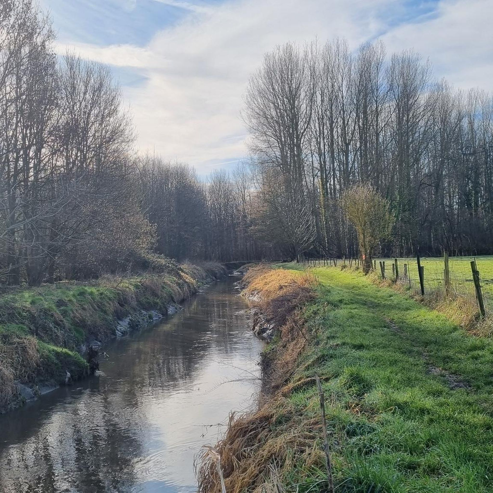
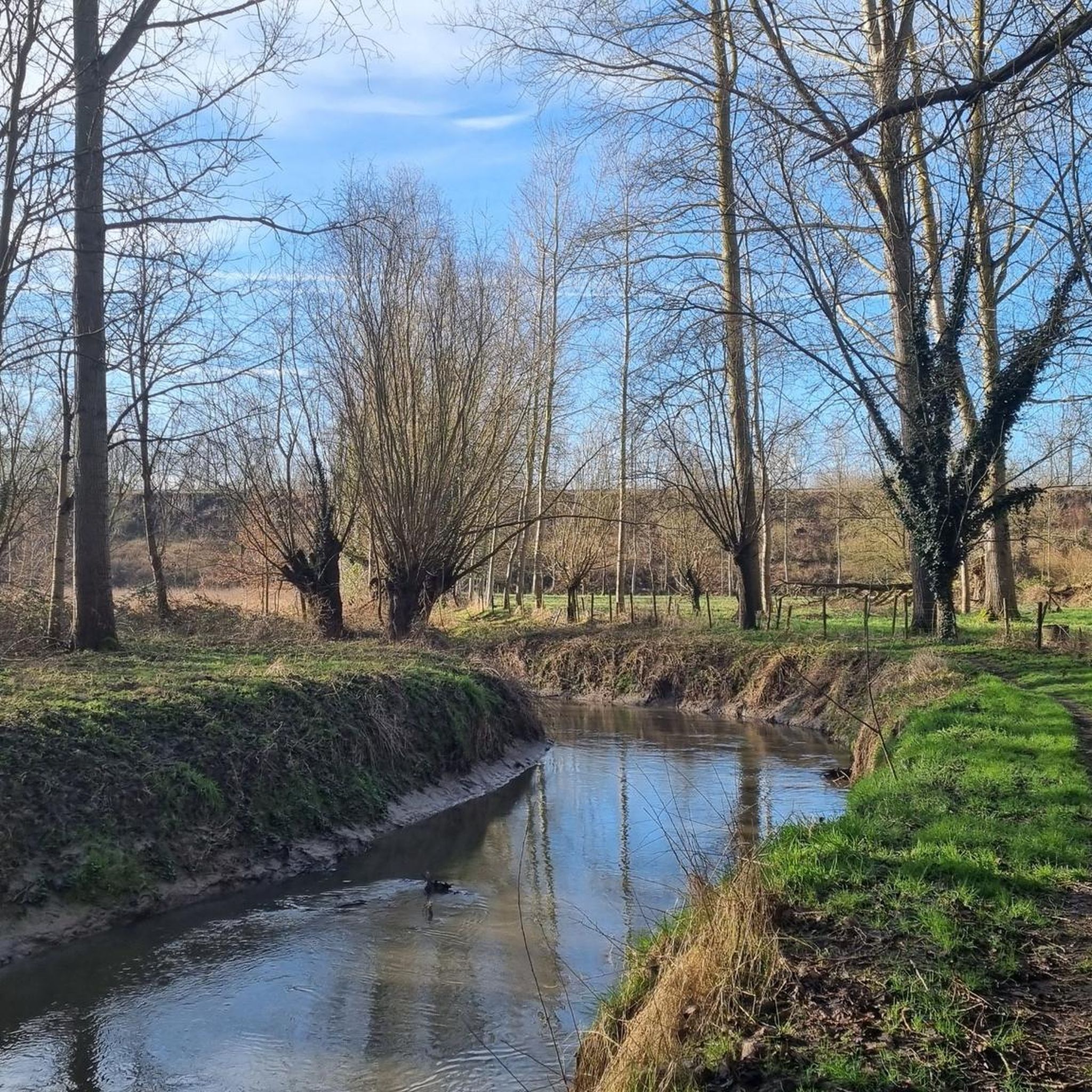
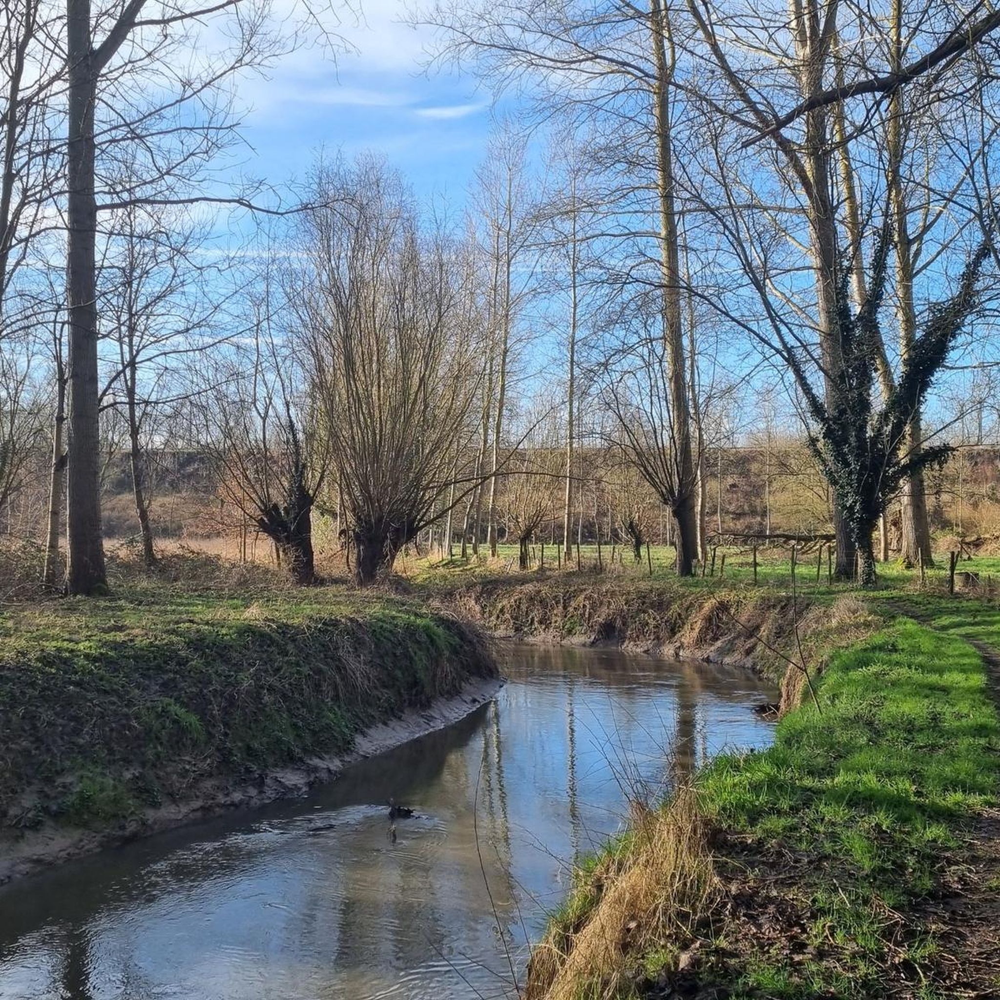
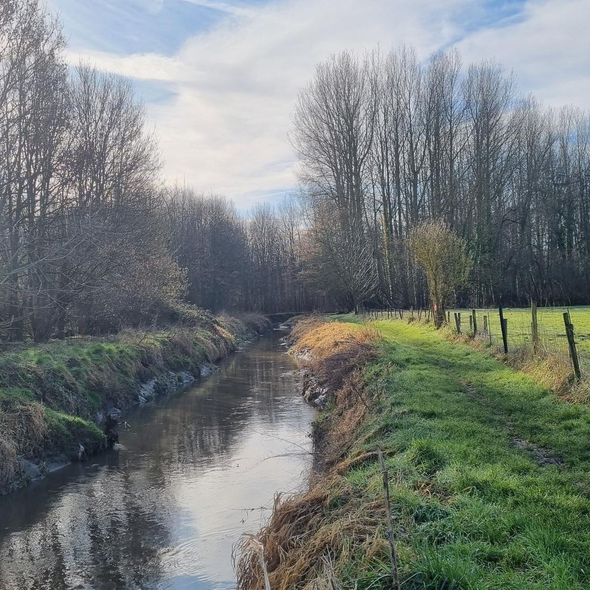
ドゥルメール川は、ウォルシャウトヘムの標高95メートルから源を発し、ランデンのいくつかの地区を蛇行しながら流れ、最終的にアウトレーウでクレイン・ヘテ川と合流します。
4
0
おそらく中世にはすでに、そして確実に17世紀からは、DormaalbeekとZeypの湿った谷はAttenhovenとRumsdorpの村人たちによって干草地として利用されており、それが「Beemden」という名前の由来です。第二次世界大戦後、土地利用に変化がありました。湿った地域は農業には採算が合わなくなり、放棄されました。干草地は排水され、牛や羊の放牧地として利用されました。一部の地域にはポプラが植えられました。あちこちに昔の干草地の痕跡がまだ見られますが、60年代以降、Beemdenの景観は根本的に変化し、現在では約7つの異なる生物群系が存在します。この豊かな多様性が、野生種の大きな多様性を生み出しています。湿った土地と乾いた土地、流れる水と止まった水、森と干草地の両方の生物がそこで快適に暮らしています。
4
0

19世紀後半の聖十字架礼拝堂またはワルホ礼拝堂。礼拝堂の木は白いセイヨウトチノキです。礼拝堂は、ボルマンス通りとワルホ通りの交差点によって形成された小さな広場にあります。 礼拝堂は1899年に建てられ、1780年の古い野外礼拝堂の古い壁の残骸の上に建てられたと言われています。礼拝堂の維持管理は、半世紀以上にわたりMuls-Menten-Petré家によって行われてきました。1924年の感謝の銘板を参照してください。 礼拝堂の木として、南側の聖歌隊席側に白いセイヨウトチノキが植えられています。 出典: INVENTARIS ONROEREND ERFGOED 2026: Heilige Kruiskapel met witte paardenkastanje als kapelboom [online], https://id.erfgoed.net/erfgoedobjecten/307449
3
0
The mill is known by several names, including Jeancour Mill, Janshoven Mill, and Grégoire Mill. Take a walk to the building, even if the mill itself is unused. You'll see the stream meandering beautifully, the buildings are all worth a visit, and you can greet the goats and other horses. It's worth the detour.
6
0
Tuff stone building, almost entirely constructed during the second half of the 13th century; massive tower, three naves of three bays each, and a rectangular choir flanked by sacristies. A closed tower with three stories, later fitted with strong corner buttresses; an inaccessible ground floor, covered with ribbed vaults featuring a beautiful keystone with a relief depicting the Paschal lamb; the upper floors are accessible via stairs in the east and south walls. The nave is connected to the aisles by distinctive round arches, the profile of which continues uniformly down to the floor; small, off-axis basket-arch windows under the flat ceiling. The aisles were rebuilt in 1925 on the foundations of the earlier ones, which were destroyed at the end of the 18th century; a Neo-Romanesque entrance portal. A two-bay deep choir in Gothic style, on a rectangular plan similar to that of Walsbets, with five simple two- or three-light windows. Restoration by architect Dehaies in 1925 (facade stone in the choir). Furniture. Two paintings in the choir (17th or 18th century); on the south side altar, a folkloric statue of Saint Amand (17th century). Block altar of sandstone decorated with geometric motifs, supposedly Merovingian but probably from the 10th century (?), baptismal font in Romanesque tradition (13th or 14th century). Inventory of Immovable Heritage: Parish Church of Saint Amand, https://id.erfgoed.net/erfgoedobjecten/43469
6
0
Also visible is the private driveway that begins on Wezerenstraat, near the former municipal school and teacher's residence. It is enclosed by a gate and can be seen between the photos.
7
0
There wasn't much to be found about this farm, but enough to warrant a comment. Because I think it's worth a highlight. One of the things that immediately stands out is that there's a chapel next to it. And thanks to the Lourdes Grotten website, we know who maintains it, that it's being renovated bit by bit, and that you can light a novena candle there—but you could find out for yourself. More at https://lourdesgrotten.com/2016/08/03/landen-wezeren-wezerenstraat-rechts-van-huis-nr-335-3-8-16/comment-page-1/ And what about the farm itself? That turned out to be a different story, even though it's still the most interesting one to me. Well, we know it's the Vandevelde enclosed square farm, and we know this because its ground plan was used as an illustration of "the enclosed square farm" in the extensive publication "Proud of the Farm from Here - Historical Farms in South Hageland" by the Center for Agricultural History at https://www.rlzh.be/assets/afbeeldingen/rl-zuidhageland/Publicaties/Fier%20op%20de%20hoeve%20van%20hier%20-%20Wetenschappelijk%20rapport.pdf This same drawing is also mentioned in other documents and reports. And then there's a thesis, "Analysis of the Development and Differentiation of the Landscape Along the Belgian Language Border. Case Study: Haspengouw: Landen and Hannut," which includes a photo of the farm gate, confirming its identity. Details about its history are always welcome. The farm at this address is registered to a farmer named Vandevelde. However, the previously mentioned record about the chapel lists a different name. Still, it seems highly unlikely that the chapel and farm are separate, as they are located next to each other with no adjacent buildings. And more importantly, the stone is identical.
7
0
ランデンでのの人気観光スポット

komootモバイルアプリでインスピレーションを得よう


さらに探索
他の地域の最高のハイキングを見てみましょう。
