アウト・ヘフェルレーのおすすめウォーキング&ハイキングルート
4.6
(2162)
11,388
ハイカー
326
ハイキング
アウト・ヘフェルレー周辺でのハイキングは、景色を満喫するのに最適な手段のひとつですが、適切なハイキングルートを見つけることは簡単ではありません。 アウト・ヘフェルレー周辺の人気ハイキング&ウォーキングコースを参考にすれば、行きたいルートをすぐに見つけられます。
最終更新日: 9月 12, 2026
4.5
(37)
163
ハイカー
26.7km
06:55
150m
160m
難しいハイキング. 標準以上のフィットネスレベルが必要です。 進みやすいルートです。あらゆるスキルレベルに適しています。
4.5
(213)
1,196
ハイカー
11.5km
03:02
100m
110m
中程度のハイキング. ある程度のフィットネスレベルが必要です。 進みやすいルートです。あらゆるスキルレベルに適しています。

4.6
(159)
854
ハイカー
18.6km
04:56
190m
190m
中程度のハイキング. ある程度のフィットネスレベルが必要です。 進みやすいルートです。あらゆるスキルレベルに適しています。
4.6
(127)
497
ハイカー
10.2km
02:39
70m
70m
中程度のハイキング. ある程度のフィットネスレベルが必要です。 進みやすいルートです。あらゆるスキルレベルに適しています。
4.6
(159)
845
ハイカー
15.4km
04:04
140m
140m
中程度のハイキング. ある程度のフィットネスレベルが必要です。 進みやすいルートです。あらゆるスキルレベルに適しています。
さらに多くのルートや他のユーザーのおすすめ情報を確認できます。
すでにアカウントをお持ちですか?
おすすめのツアーは他のkomootユーザーが実際に経験した何千ものアクティビティに基づいています。
無料アカウントで今日から始めよう
次の冒険が待っています。
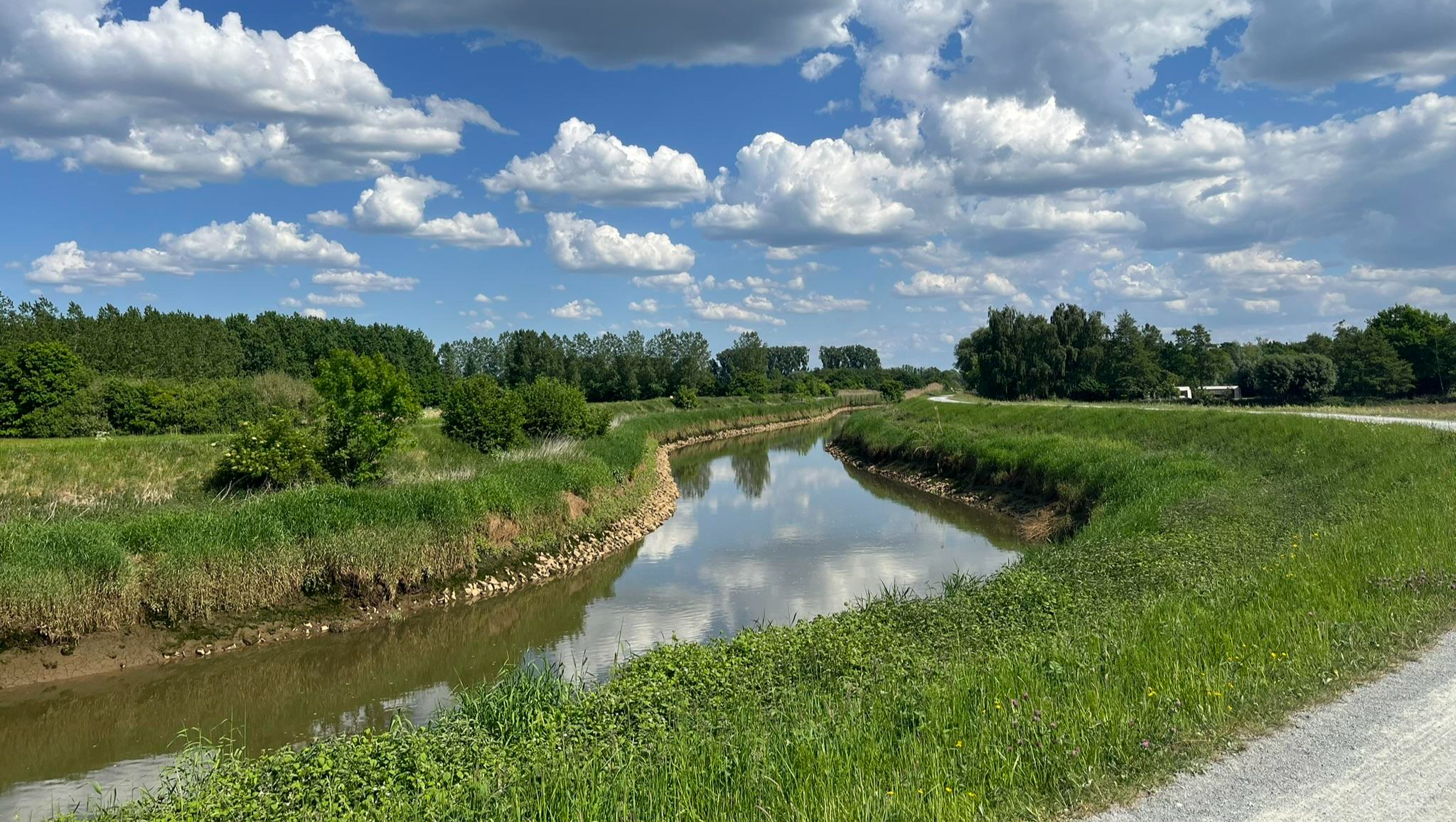
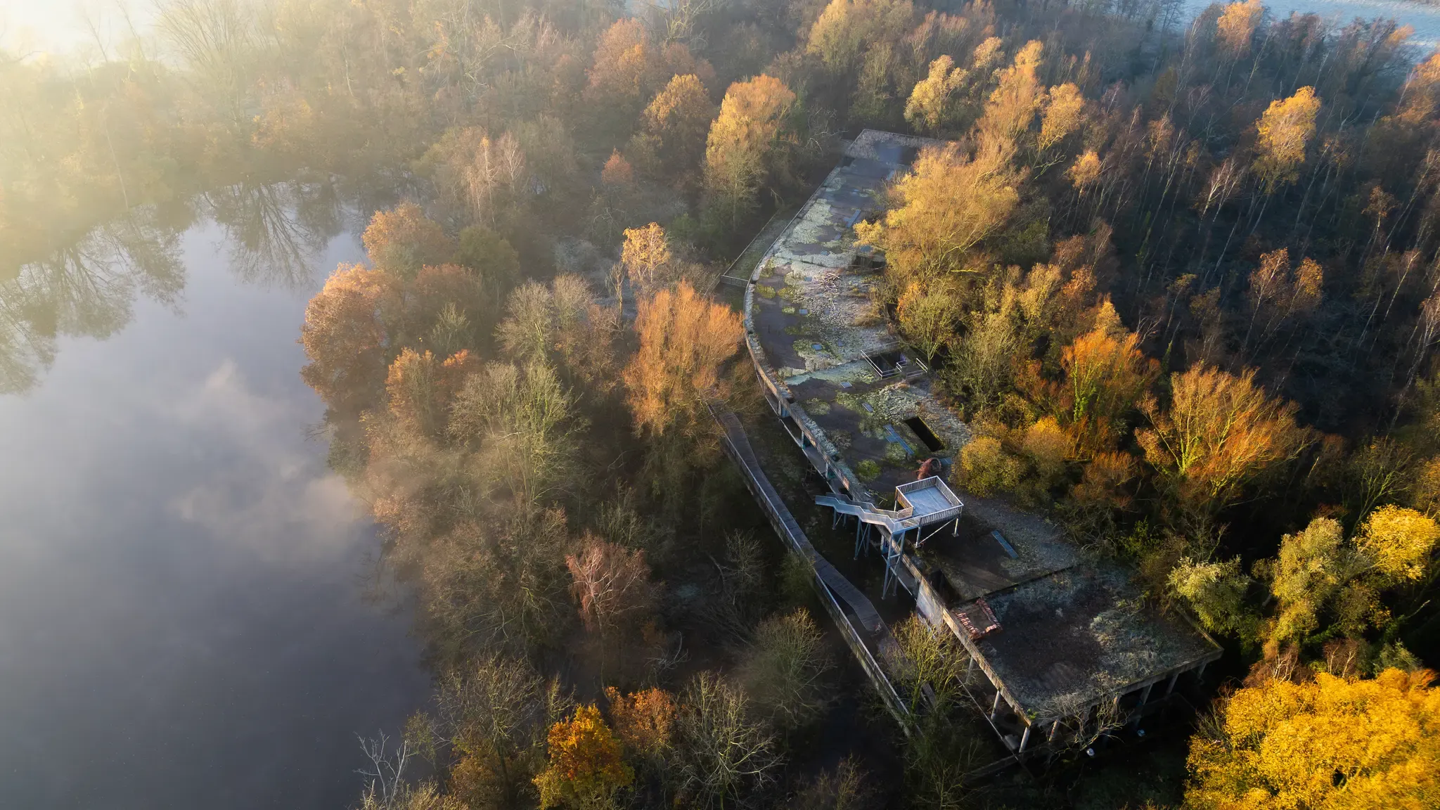
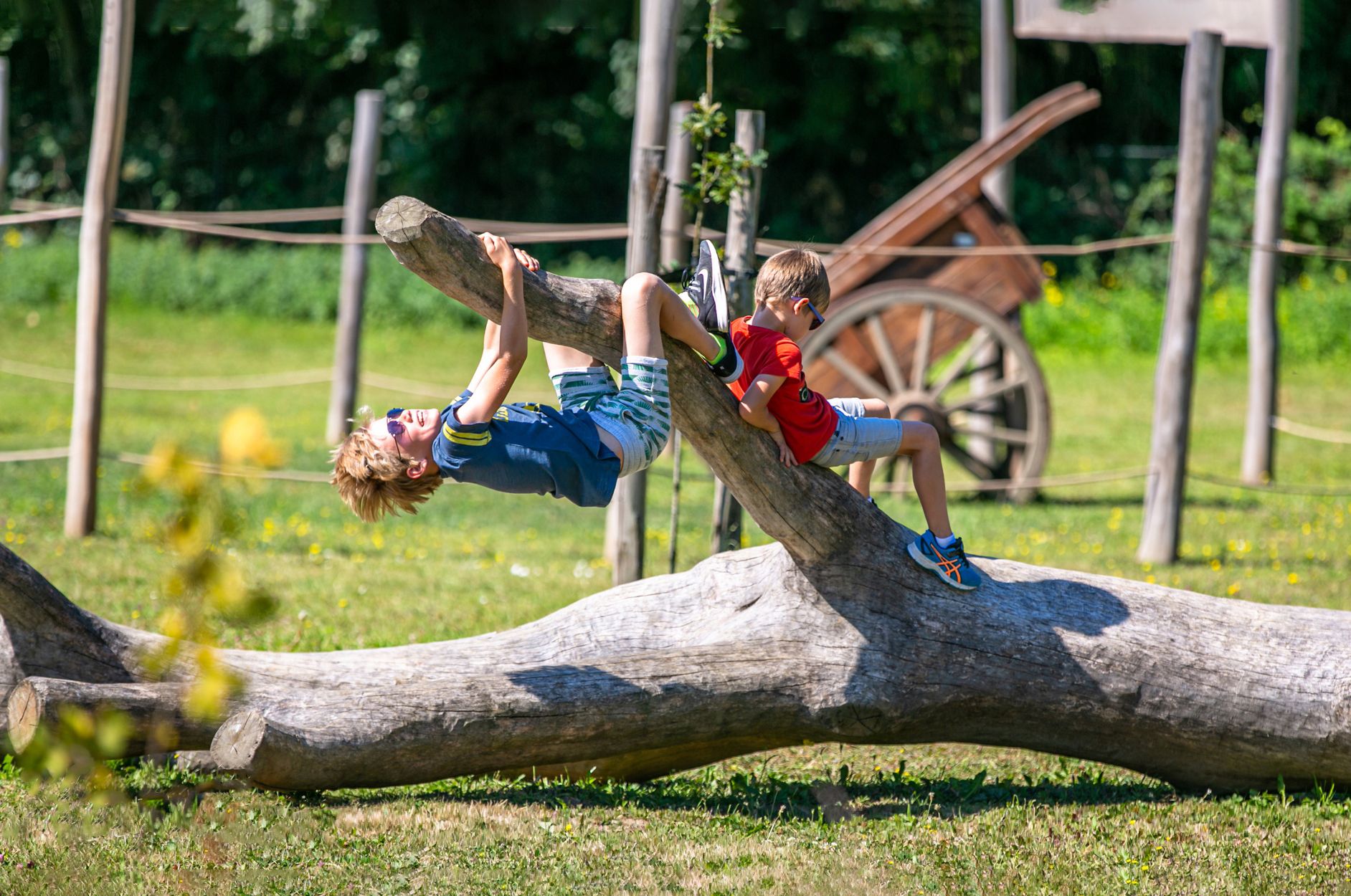
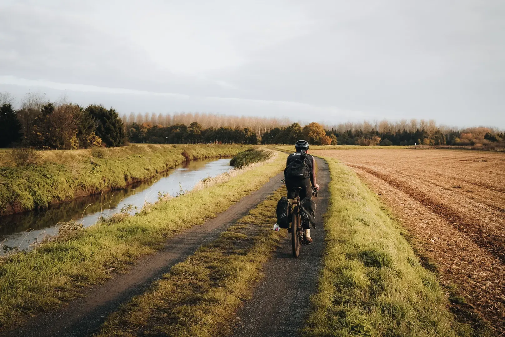
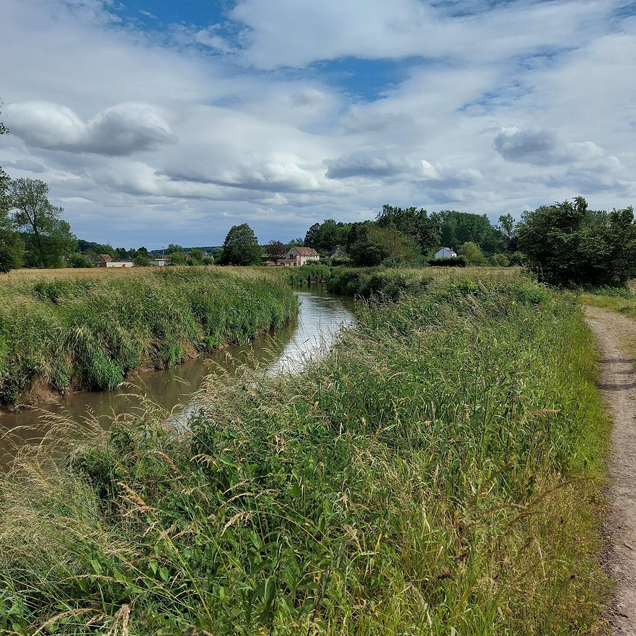
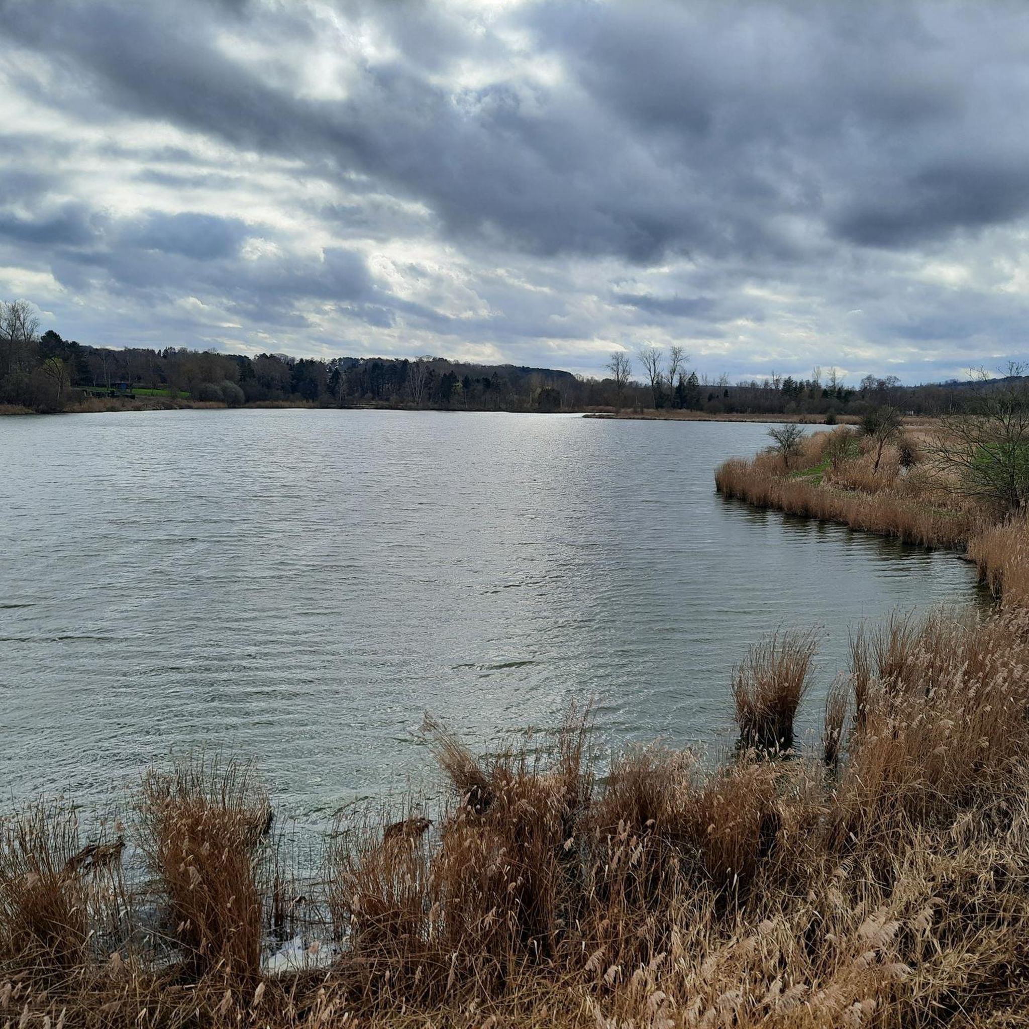
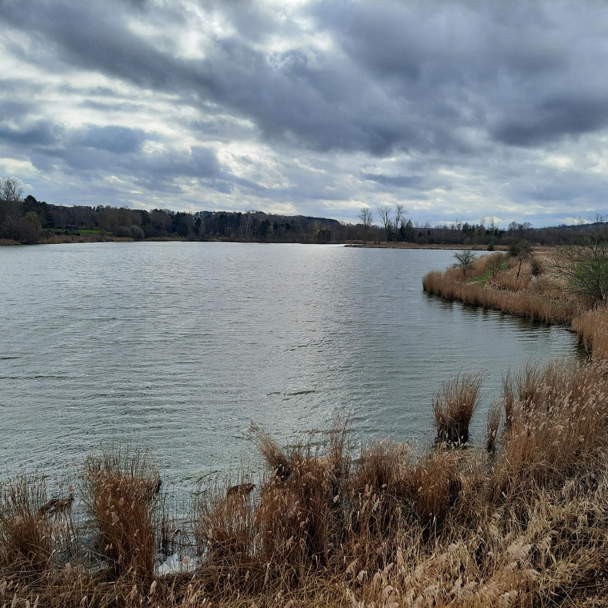
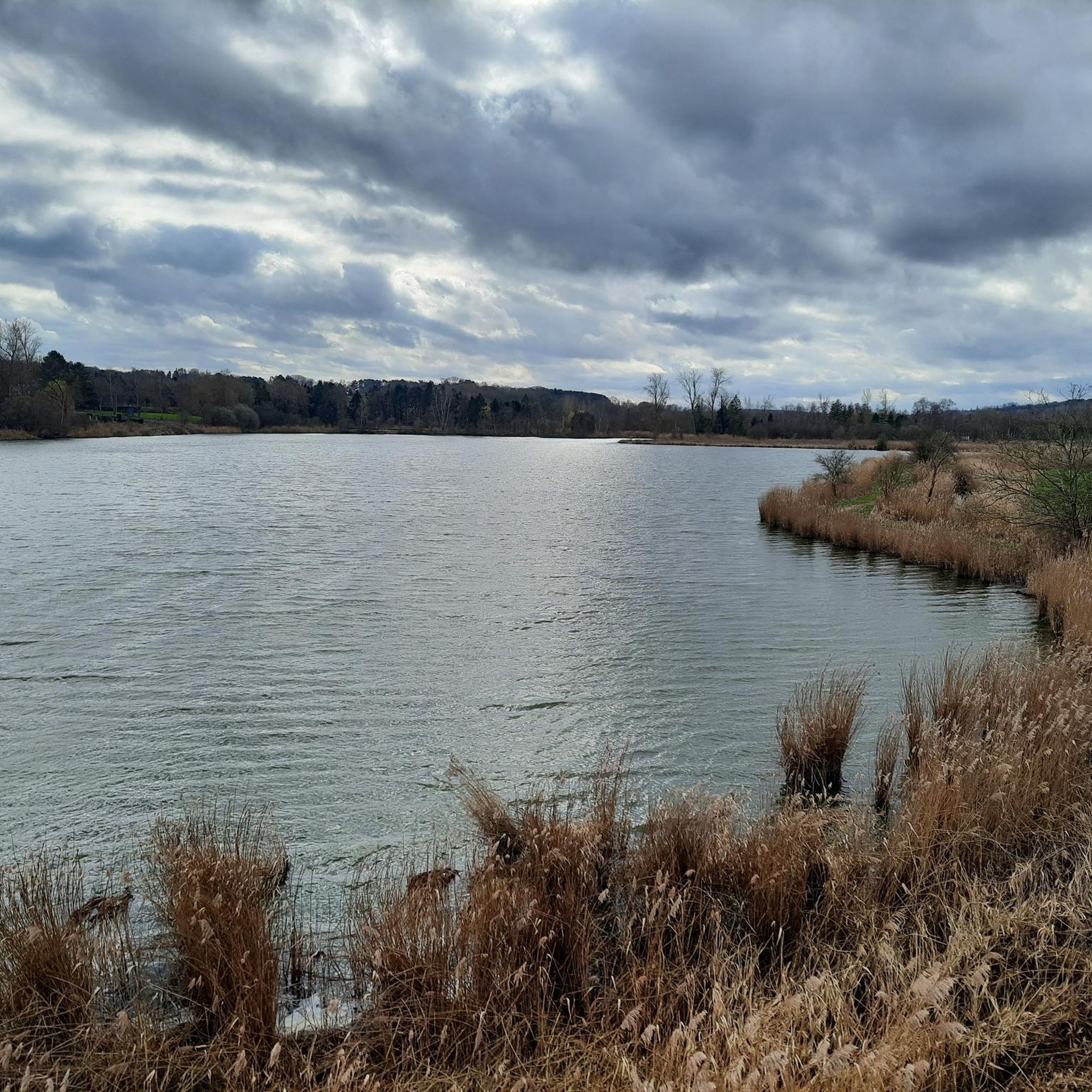

アウト・ヘフェルレーでのの他の冒険


コミュニティからのヒント

De Doode Bemde(ドゥーデ・ベムデ)は、決して死んだ場所ではありません。ディール川沿いにあるこの自然保護区は250ヘクタール以上あり、9キロメートルの遊歩道を備え、フランデレン・ブラバントで最もアクセスしやすい自然地域です。湿った草原、沼地の森、葦原、池、小さな畑がモザイクのように広がる中を散策します。川は元の蛇行を自由に流れ、定期的に氾濫が許されています。この水と陸の戯れが、多種多様な動植物を生み出しています。その名前は「利用不可能な草原」を指しますが、自然にとってはまさに楽園なのです。 (Visit Vlaams-Brabant)
5
0

近くには、非常に健康的な水が汲める泉があります。
1
0


The Warandevijver pond was built by order of the Duke of Arenberg some 300 years ago. At that time, Meerdaalwoud was the dukes' hunting grounds. A "warande" (warden) often refers to a (closed) hunting area and/or open space where game was kept. It's a lovely picnic bench where I used to picnic with my parents decades ago.
6
0

off the beaten track of the Meerdael forest
1
0

Beautiful nature (all wild flowers in bloom) - Not a living soul to be seen - Concluded with a visit to the Delvaux brewery - Top 💥💥
2
0
Duke Charles III de Croy (1560-1612) had the Arenberg Castle moated, the park laid out and the avenue to Leuven extended at the end of the 16th century. A memorial stone was built into the right side wall of the Cantine to commemorate the construction of the avenue to Leuven in 1596. In the 18th century, when the castle and the park were owned by the Arenberg family, the entire domain was enclosed by a wall. The moat around the castle was also filled in. This resulted in a significant change to the terrain, which was originally very marshy. Nevertheless, the structure that Charles III de Croy gave to the landscape around 1600 is still clearly recognisable. The whole of gardens, orchards and outbuildings was then arranged around two main axes, which corresponded to the axes of the castle: an (approximately) north-south avenue, from the Terbank leper colony to the Meerdaal forest that served the Croys as a private hunting domain, and an east-west avenue, which extended from the Celestine Priory, the Croys' family mausoleum, past the new stable buildings to the entrance gate right on the city walls, opposite the Namur Gate. The construction of these straight avenues, bordered by palisades, for kilometres long, had forced the Duke to purchase important land and then to carry out major earthworks: hills were dug away – such as the hill on which the old Romanesque Saint-Lambert church stood, which was desecrated as a result – and holes and pits were filled in. Duke Charles Marie Raymond of Arenberg had a ‘jardin anglois’ built in 1771 to his own design, with the Yellow House as the focal point of the picturesque garden, a pavilion on a hill to the southeast of the castle, and with many remarkable exotic tree species such as a Lebanon cedar (Cedrus libanii) that was brought over from Edingen. The historical value of the Arenberg Park is formed by the connection with the Arenberg Castle and the other buildings located there. Inventory of Immovable Heritage: Arenberg Park, https://id.erfgoed.net/erfgoedobjecten/302524
3
0

across the lawn you can see the castle of Arenberg Leuven
0
0
アウト・ヘフェルレーでのの人気観光スポット

komootモバイルアプリでインスピレーションを得よう


さらに探索
他の地域の最高のハイキングを見てみましょう。
