アンダンヌのおすすめウォーキング&ハイキングルート
4.4
(833)
4,290
ハイカー
195
ハイキング
アンダンヌ周辺でのハイキングは、景色を満喫するのに最適な手段のひとつですが、適切なハイキングルートを見つけることは簡単ではありません。 アンダンヌ周辺の人気ハイキング&ウォーキングコースを参考にすれば、行きたいルートをすぐに見つけられます。
最終更新日: 8月 30, 2026
4.2
(66)
240
ハイカー
15.5km
04:13
220m
210m
中程度のハイキング. ある程度のフィットネスレベルが必要です。 全般的に進みやすいルートです。安定して歩行できる技術が必要です。
4.2
(10)
39
ハイカー
4.32km
01:12
90m
80m
中程度のハイキング. あらゆるフィットネスレベルに適しています。 全般的に進みやすいルートです。安定して歩行できる技術が必要です。

無料新規登録
4.7
(29)
114
ハイカー
12.9km
03:33
220m
220m
中程度のハイキング. ある程度のフィットネスレベルが必要です。 全般的に進みやすいルートです。安定して歩行できる技術が必要です。
4.4
(18)
54
ハイカー
4.35km
01:14
90m
90m
初級者向けハイキング. あらゆるフィットネスレベルに適しています。 進みやすいルートです。あらゆるスキルレベルに適しています。
4.4
(8)
21
ハイカー
11.0km
03:00
160m
160m
中程度のハイキング. ある程度のフィットネスレベルが必要です。 全般的に進みやすいルートです。安定して歩行できる技術が必要です。
さらに多くのルートや他のユーザーのおすすめ情報を確認できます。
無料新規登録
すでにアカウントをお持ちですか?
おすすめのツアーは他のkomootユーザーが実際に経験した何千ものアクティビティに基づいています。



コミュニティからのヒント

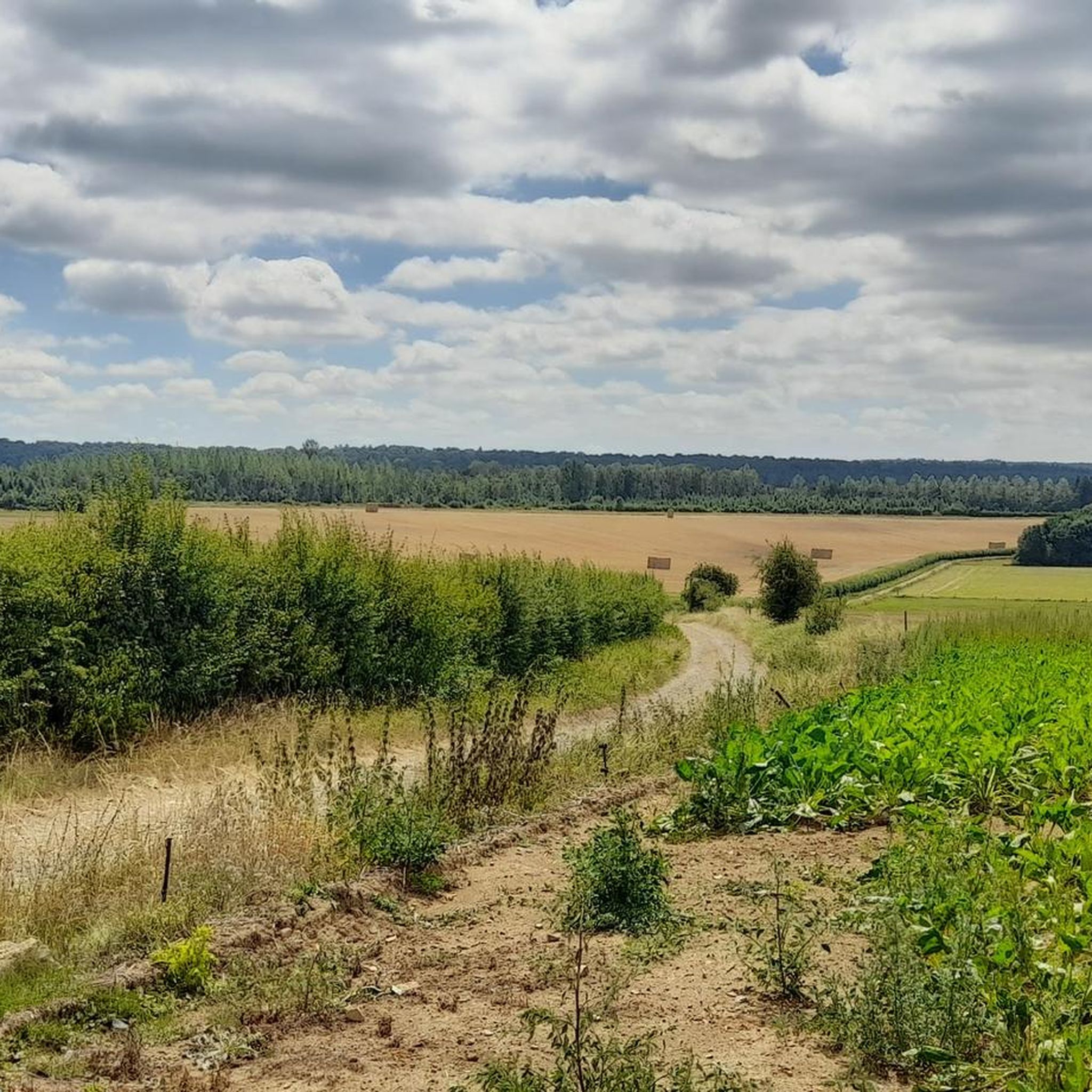
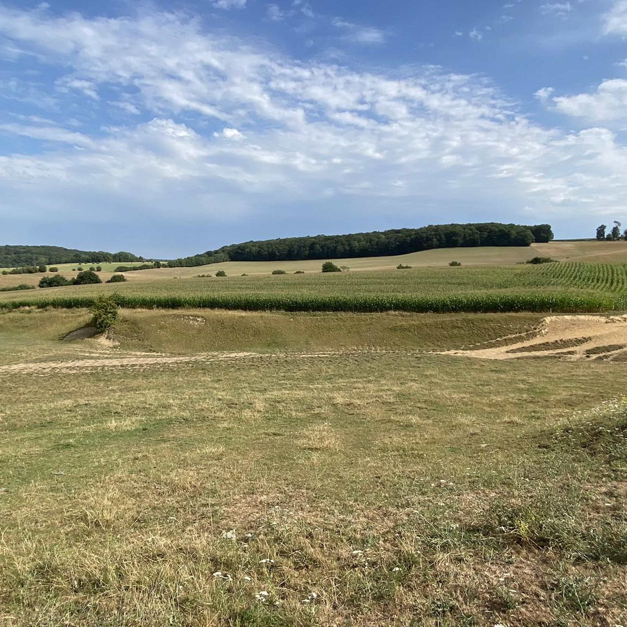
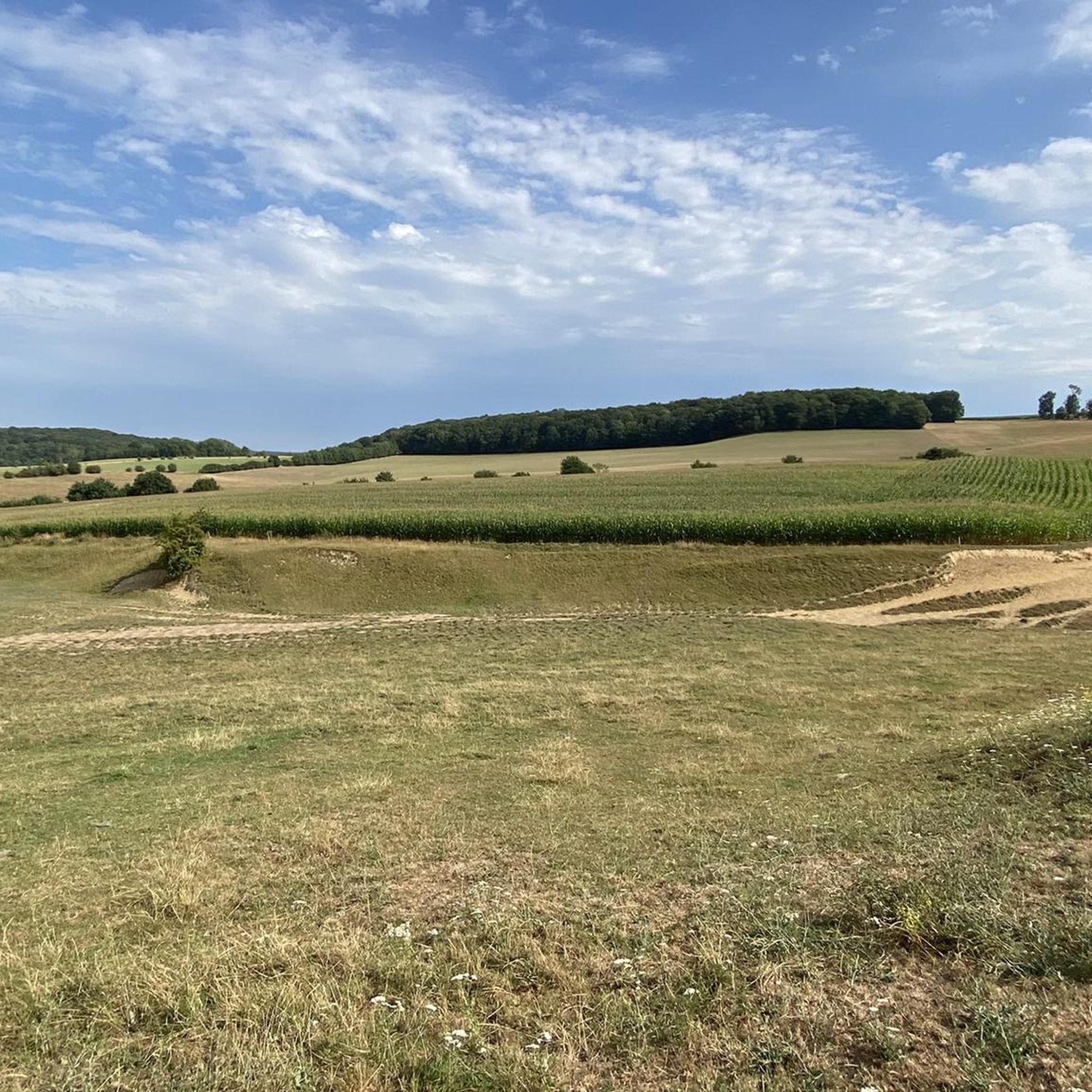
この道は、モゼ村の北端にある木立に沿って、ストルード(ハルティンヌ)とトン(アンドゥエンヌ)の間を走っています。掘割状の道の路盤の斜面にある木々や低木は、時折トンネル効果を生み出し、太陽が美しい光の戯れを作り出すことができます。
2
0

This location is an exceptional spot in Andenne. A fortified Merovingian position in the 3rd century, it constitutes a key historical landmark in the region.
1
0

Nice narrow path along the stream, slippery in places.
2
0
View of the deep quarry Carrière du Boltry with a light blue lake. The water at the bottom of the quarry is a kind of bright turquoise blue. You can't miss it. The color has everything to do with the type of stone that is mined there: limestone.
3
0


whatever the weather, the landscapes are inspiring
1
0

August 2024. The path is closed with a fence, boulders and the message DANGER ASSISE DE SENTIER INSTABLE RISQUE DE CHUTE MORTELLE
0
0

The remains of the fortress of Samson are the ruins of an ancient fortress perched on a rocky promontory overlooking the Samson and the Meuse. There you will find the remains of two towers and a wall which testify to the ancient prestige of this castle, which was one of the strongholds of the county of Namur and resisted attacks by the Normans in the 9th century. The fortress was demolished in 1691 on the orders of King Charles II of Spain and its stones were used to build many houses in the neighboring villages of Thon and Samson. You can admire the ruins from the valley entrance, but the site is not open to visitors. You can, however, enjoy the natural beauty of the region and discover the charming village of Thon-Samson, which is classified among the most beautiful villages in Wallonia.
3
0
アンダンヌでのの人気観光スポット

komootモバイルアプリでインスピレーションを得よう


さらに探索
他の地域の最高のハイキングを見てみましょう。
