ウェルヴィクのおすすめツーリングルート
4.5
(213)
2,068
ライダー
100
ライド
ウェルヴィク周辺でのおすすめのサイクリングルートを参考にして、このエリアを最大限に楽しみましょう。ここでご紹介するのは、ウェルヴィク周辺の人気バイクライドです。ぜひ、自分に合ったルートを見つけてください。
最終更新日: 10月 5, 2026
4.4
(23)
249
ライダー
53.5km
03:29
120m
120m
難しい自転車ライド. ある程度のフィットネスレベルが必要です。 ツアーの一部で自転車を押して歩く必要があるかもしれません。
4.8
(6)
106
ライダー
51.5km
03:29
100m
100m
中程度の自転車ライド. ある程度のフィットネスレベルが必要です。 全般的に舗装された状態です。あらゆるスキルレベルに適しています。

4.2
(14)
66
ライダー
52.9km
03:16
240m
240m
中程度の自転車ライド. ある程度のフィットネスレベルが必要です。 全般的に舗装された状態です。あらゆるスキルレベルに適しています。
4.8
(11)
70
ライダー
97.3km
05:44
500m
500m
難しい自転車ライド. 標準以上のフィットネスレベルが必要です。 全般的に舗装された状態です。あらゆるスキルレベルに適しています。
4.8
(6)
47
ライダー
72.3km
04:22
440m
440m
中程度の自転車ライド. ある程度のフィットネスレベルが必要です。 全般的に舗装された状態です。あらゆるスキルレベルに適しています。
さらに多くのルートや他のユーザーのおすすめ情報を確認できます。
すでにアカウントをお持ちですか?
おすすめのツアーは他のkomootユーザーが実際に経験した何千ものアクティビティに基づいています。
無料アカウントで今日から始めよう
次の冒険が待っています。

コミュニティからのヒント


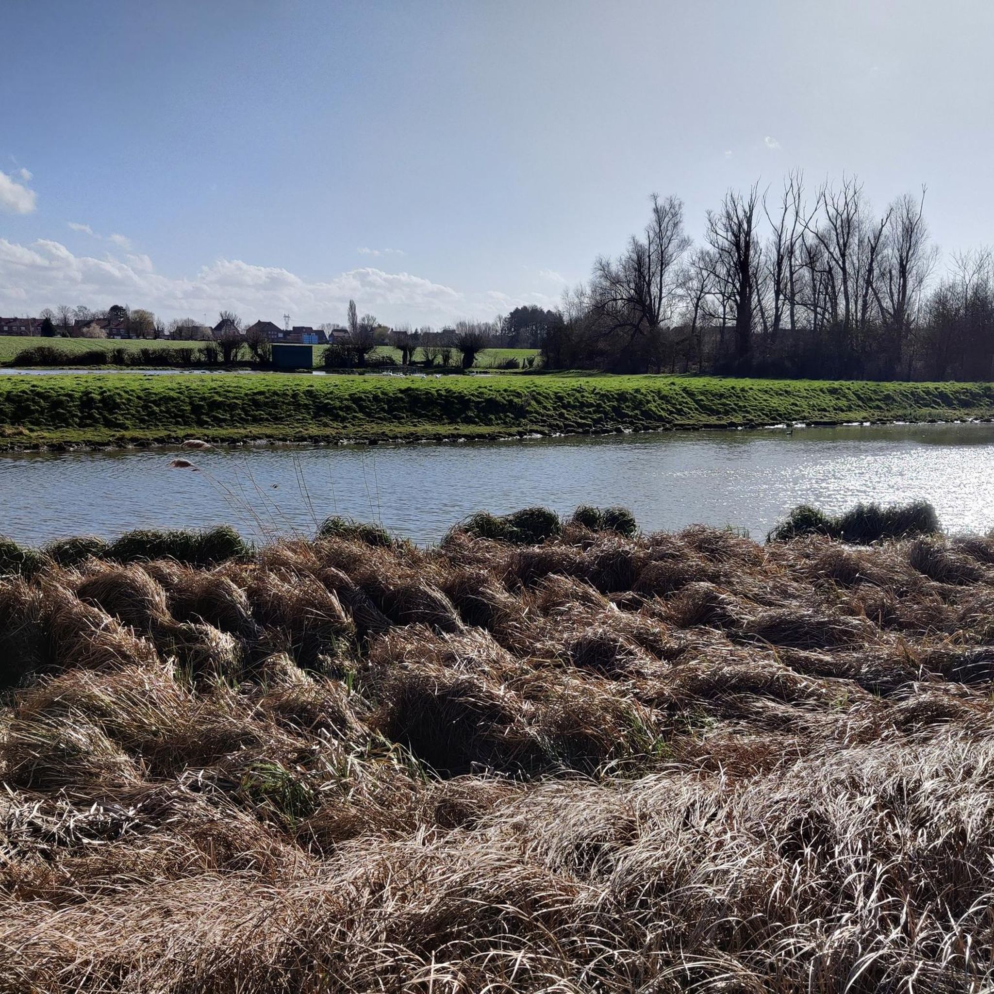
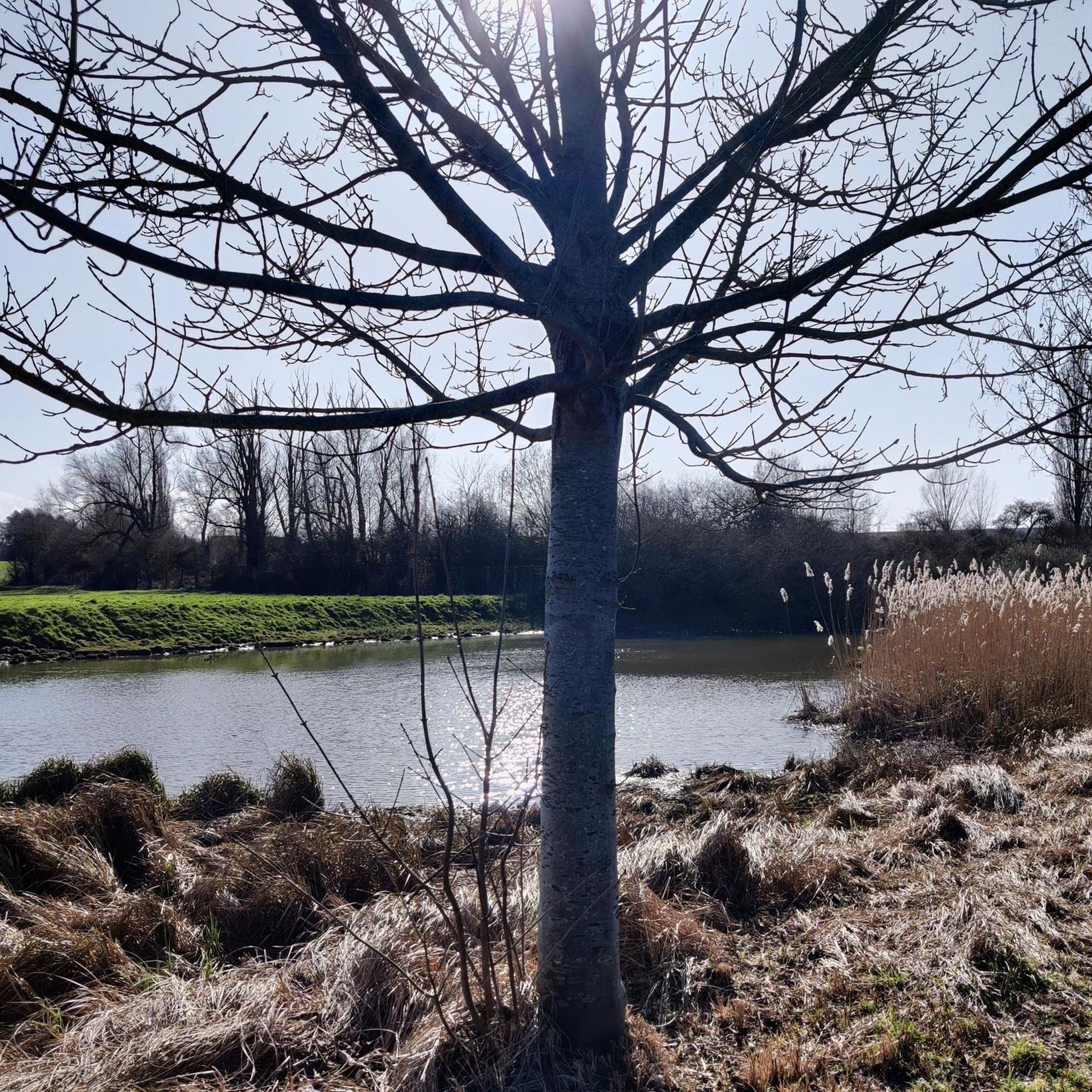
残念ながら、この近くには緑豊かな小道はもうほとんどありません。この小道をそのままにして、舗装しないでください。
0
0

asphalt cycle path.
0
0
Very smooth gravel path. No particular difficulty.
0
0

Of course, these are not the belfry and town hall of Tourcoing, as the name of the highlight initially indicated, but those of Menen. The belfry, incorporated into the town hall, is a UNESCO World Heritage Site, along with the Grote Markt. The historical function of this city tower was to warn of dangers such as fire with bells and to safely store important city documents. The foundation stone was laid in 1574 during the Wars of Religion. The building only acquired its current form in 1828. In the centuries before, the belfry was damaged several times. For example, during the siege of Menen in 1706, the spire was blown off. As a witness to a turbulent past, the 33-meter belfry still towers above the surrounding area today. It offers a magnificent view of Menen's city center and the border region. Beneath the belfry lies a bomb shelter from the Second World War. Source: information board on site
3
0

Hill 60 is an authentic area from the First World War. The artificial hill, built in 1850, stood at a height of approximately 60 meters, hence the name Hill 60. Between 1914 and 1918, fierce fighting took place here between the Germans and the Allies. Starting in 1915, both sides dug tunnels under the hill in which mines were detonated. The explosion of the deep mines on June 7, 1917, created the current landscape of Hill 60. Many soldiers are still buried beneath this hill.
0
0

Better tarmac on this side of the Lys than on the other side.
0
0
Bad tarmac for inline skaters or longboarders. It is so much better along the Lys.
0
0
ウェルヴィクでのの人気観光スポット

komootモバイルアプリでインスピレーションを得よう


さらに探索
他の地域の最高のサイクリングルートを見てみましょう。
