ウェルヴィクの天然記念物・トップ19
ウェルヴィクが誇る美しい風景を見てみたいなら、ウェルヴィクの素晴らしい天然記念物・トップ19
に行ってみましょう。あなたにぴったりの場所が見つかるよう、素晴らしい天然記念物を探索するために必要なすべての情報を集めました。次のアウトドアの冒険に出かける計画の参考にしましょう。
最終更新日: 10月 15, 2026
ザ・ブラフ記念碑とクレーター
ハイライト • 歴史的な場所
翻訳者 Google •
役立つ情報 は

ヒル60保存戦場(第一次世界大戦)
ハイライト • 歴史的な場所
翻訳者 Google •
役立つ情報 は

今すぐサインアップして、こんな場所を発見しよう
最高のシングルトラック、ピーク、その他のエキサイティングなアウトドアスポットのおすすめを受け取ろう。
キャタピラー・クレーター
ハイライト • 歴史的な場所
翻訳者 Google •
役立つ情報 は

カミング・ワールド・リメンバー・ミー彫刻
ハイライト • 記念碑
翻訳者 Google •
役立つ情報 は


無料アカウントで今日から始めよう
次の冒険が待っています。

コミュニティからのヒント

An interesting anecdote concerns the battles around the pond during the war. Soldiers used the pond as a natural barrier and shelter. There are stories of soldiers wading through the water at night to reach enemy lines, which gave the pond strategic significance.
7
0

some very beautiful works on the route
0
0

Strategic hill called Hill 60 in the First World War.
1
0

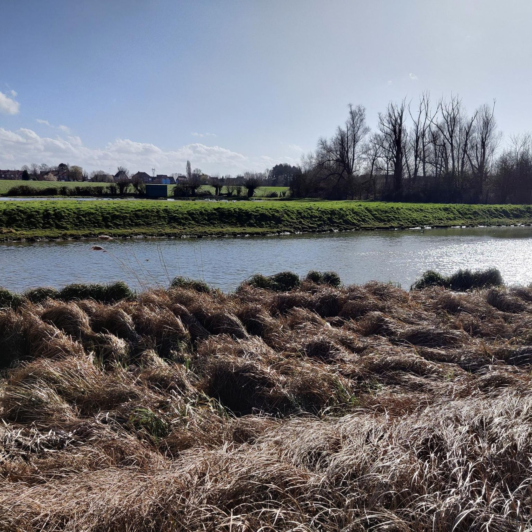
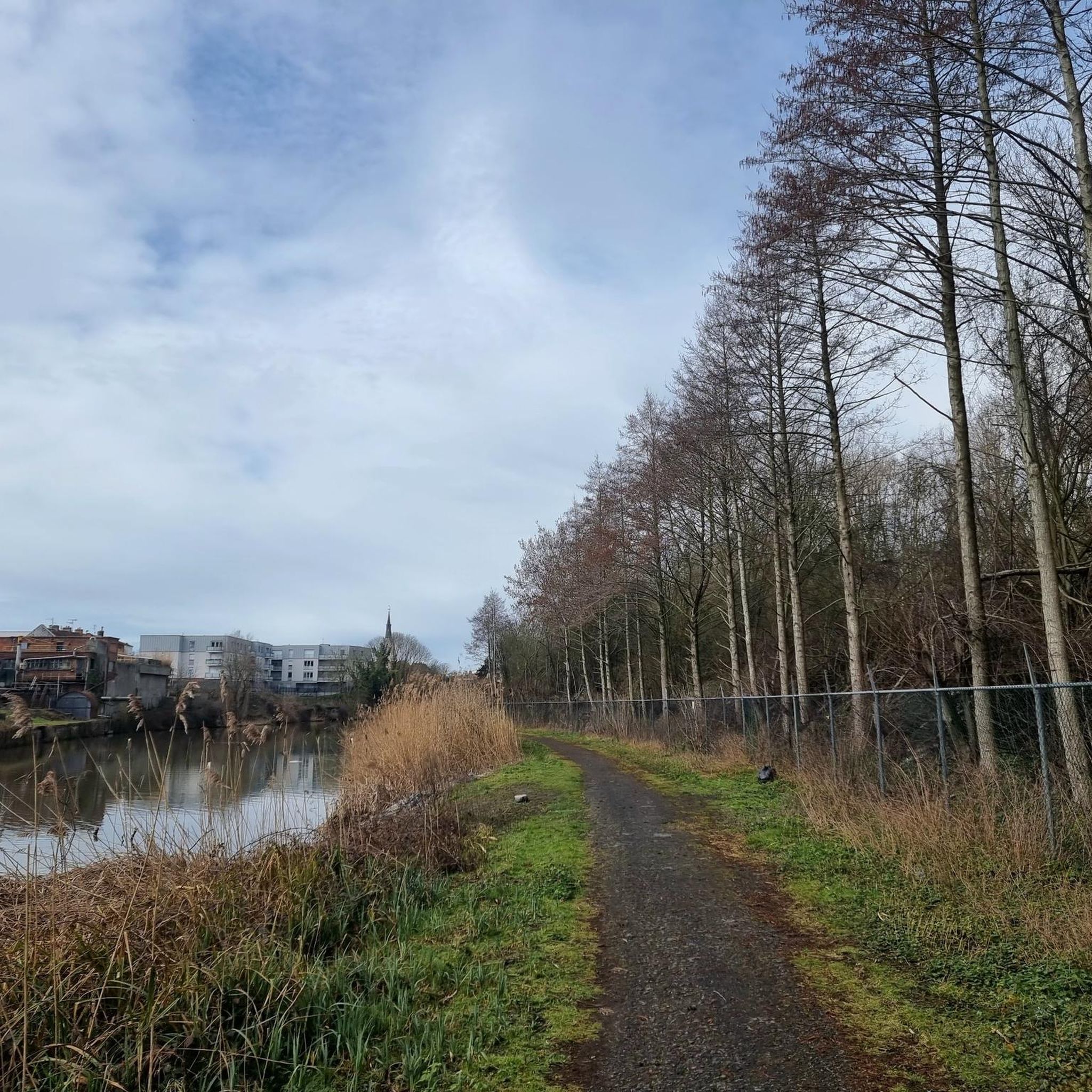
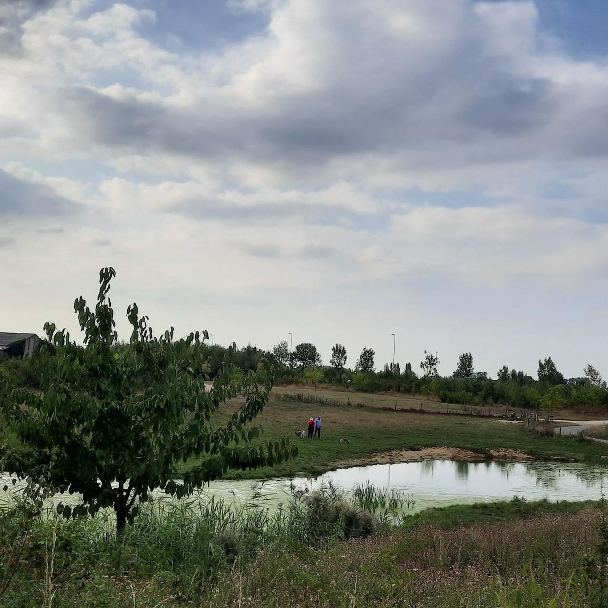
At the beginning of the 14th century, Ypres was a very prosperous and densely populated city. Two ponds were constructed for water supply: one in Dikkebus and one in Zillebeke, and these ponds still provide Ypres with drinking water today. The 28-hectare Zillebeke Pond is fed by the Zillebeek stream. On the western bank lies the pumping and treatment plant, which produces approximately four to five thousand cubic meters of drinking water daily. The pond is surrounded by a beautiful double row of trees. Fishing is permitted with a special permit. The pond is a valuable natural feature. The large fields of water lilies are particularly picturesque. A colony of grebes breeds there, but grey herons, coots, moorhens, mallards, and sandpipers also call the pond home. During the migration season, the pond is frequently visited by numerous bird species. You can cycle and walk around the pond. Source: knooppunter.com/zillebekevijver
2
0
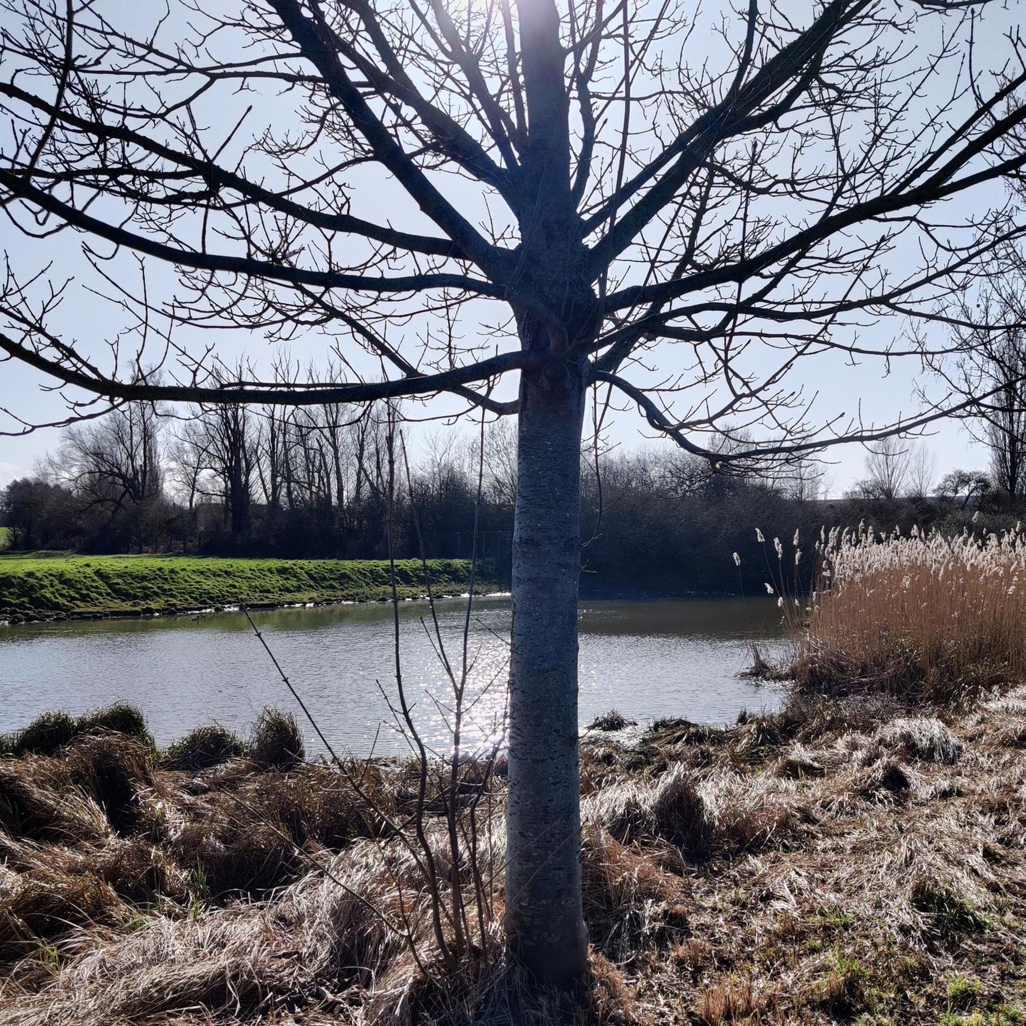
Old pond that supplies fresh water to the city of Ypres. Some explanation: The Dikkebus Pond is a pond near the village of Dikkebus, south of Ypres. On July 23, 1310, the City of Ypres received permission from the Count of Flanders to dig the pond, which, next to the Zillebeke Pond, was intended to ensure sufficient water in the city for fulling and dyeing cloth. The pond was created by damming the Kemmelbeek stream and was excavated on land belonging to the parishes of Vlamertinge, Dikkebus, and Voormezele. The expropriation of the necessary land was arranged by the city of Ypres and took about ten years. The thirty-six-hectare pond was not completed until around 1323. The pond supplied and still supplies Ypres with drinking water, initially via the Ypres canals and later via a system of oak pipes. Since 1926, this has been done via a modern pumping station. The Zillebeke Pond and Bellewaarde Pond were also created this way. Besides providing drinking water, the pond also serves a recreational purpose. Enjoy the shady banks at a moderate pace.
2
0
Old pond that supplies fresh water to the city of Ypres. Some explanation: The Dikkebusvijver is a pond near the village of Dikkebus, south of the city of Ypres. On July 23, 1310, the City of Ypres received permission from the Count of Flanders to dig the pond next to the Zillebeke pond to ensure that sufficient water was available in the city for fulling and dyeing sheets. The pond was created by damming the Kemmelbeek and was excavated on the grounds of the parishes of Vlamertinge, Dikkebus and Voormezele. The expropriation of the necessary land was arranged by the city of Ypres and took about ten years to complete. The pond of thirty-six hectares was not realized until around 1323. The pond provided and supplies Ypres with drinking water, formerly via the Ypres canals and then via a system of oak pipes. Since 1926 this has been done via a modern pumping station. The Zillebeke pond and Bellewaarde pond were also created in this way. In addition to the drinking water supply, the pond also has a recreational function. Enjoy the shaded banks at moderate speed.
4
0
ウェルヴィクでのの人気観光スポット

komootモバイルアプリでインスピレーションを得よう


さらに探索
これらのガイドで、最高の洞窟を探す範囲を広げましょうウェルヴィクでの:
