ディッケブス池のおすすめツーリングルート
4.5
(1080)
14,180
ライダー
446
ライド
ディッケブス池周辺にはバイクライド向きのルートがたくさんあるため、ルート選びも簡単ではありません。この湖の魅力をすぐに体験していただけるように、komootおすすめのルートをまとめました。 ページを下にスクロールしてディッケブス池周辺のサイクリングルートの詳細をご覧になり、気に入ったルートが見つかったら、さっそく冒険に出かけましょう。
最終更新日: 8月 25, 2026
7
ライダー
17.1km
01:03
60m
60m
初級者向けバイクライド. あらゆるフィットネスレベルに適しています。 全般的に舗装された状態です。あらゆるスキルレベルに適しています。
5
ライダー
18.7km
01:05
70m
80m
初級者向けバイクライド. あらゆるフィットネスレベルに適しています。 全般的に舗装された状態です。あらゆるスキルレベルに適しています。

無料新規登録
5
ライダー
15.8km
00:54
50m
50m
初級者向けバイクライド. あらゆるフィットネスレベルに適しています。 全般的に舗装された状態です。あらゆるスキルレベルに適しています。
2
ライダー
17.4km
01:09
100m
100m
初級者向けバイクライド. あらゆるフィットネスレベルに適しています。 全般的に舗装された状態です。あらゆるスキルレベルに適しています。
5
ライダー
59.0km
03:29
240m
240m
中程度の自転車ライド. ある程度のフィットネスレベルが必要です。 全般的に舗装された状態です。あらゆるスキルレベルに適しています。
さらに多くのルートや他のユーザーのおすすめ情報を確認できます。
無料新規登録
すでにアカウントをお持ちですか?
おすすめのツアーは他のkomootユーザーが実際に経験した何千ものアクティビティに基づいています。
無料アカウントで今日から始めよう
次の冒険が待っています。
ログインまたは登録

コミュニティからのヒント

So that every visitor becomes aware of the horror and hell of war in the past. That humanity learns nothing by slaughtering each other for nothing. But we are led by idiots and power-hungry people!!
0
0

asphalt cycle path.
0
0

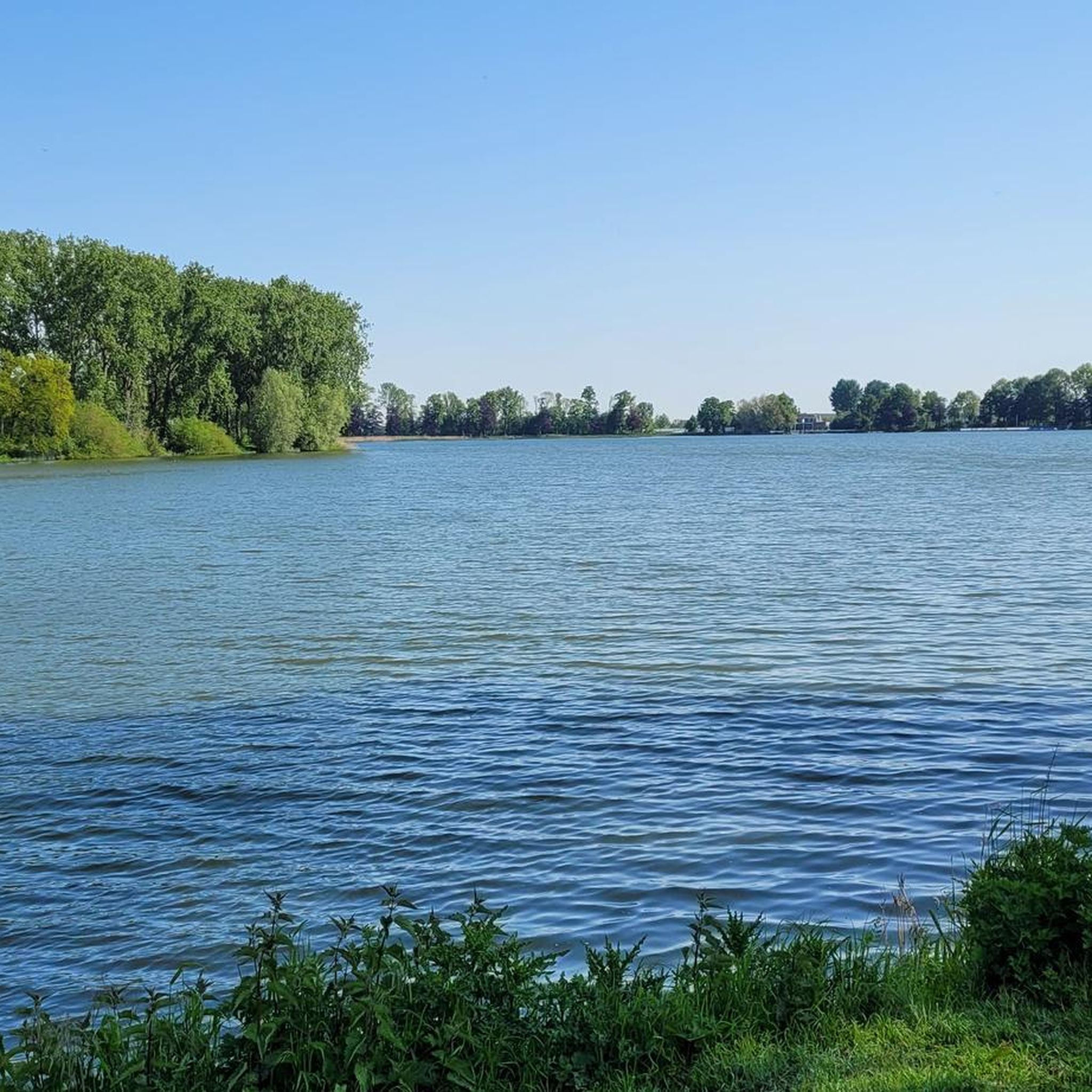
On July 23, 1310, the City of Ypres received permission from the Count of Flanders to dig the pond, which, next to the Zillebeke Pond, was intended to ensure sufficient water in the city for fulling and dyeing cloth. The pond was created by damming the Kemmelbeek stream and was excavated on land belonging to the parishes of Vlamertinge, Dikkebus, and Voormezele. The expropriation of the necessary land was arranged by the City of Ypres and took about ten years. The thirty-six-hectare pond was not completed until around 1323.[1] The pond provided and still provides Ypres with drinking water, initially via the Ypres canals and later through a system of oak pipes. Since 1926, this has been done via a modern pumping station. The Zillebeke Pond and Bellewaarde Pond were also created in this way. https://nl.wikipedia.org/wiki/Dikkebusvijver
3
0

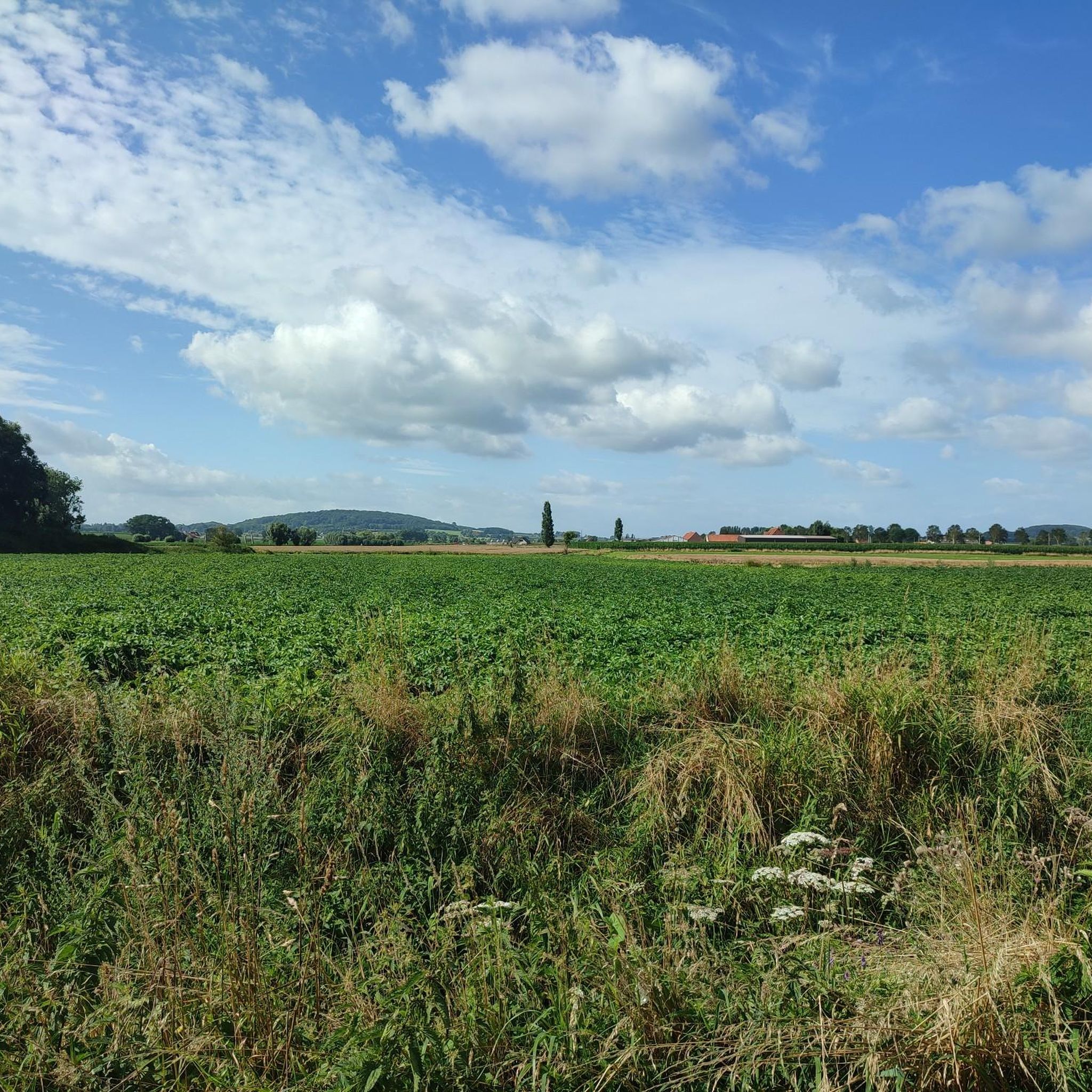
Dikkebusvijver is a historic pond near the village of Dikkebus, south of Ypres. The pond was dug on 23 July 1310 with permission from the Count of Flanders to ensure sufficient water for the cloth industry in Ypres. The pond was created by damming the Kemmelbeek and has a surface area of 36 hectares.
8
0
Hill 62, also known as Sanctuary Wood, is home to the Canadian Hill 62 Memorial, which commemorates the actions of the Canadian Corps in the defence of the southern sector of the Ypres Salient between April and August 1916. This memorial marks the first time that Canadian divisions were involved in planned offensive operations during the war.
8
0

Beautiful Ravel Trail along the canal connecting Ypres to Comines. Natura 2000 site!
1
0
An interesting anecdote concerns the explosion of one of the mines on 17 July 1955 by lightning. This mine had not been detonated during the war and was still underground. The explosion created a new crater and reminded the local population of the lasting impact of the war.
6
0
The Spanbroekmolen crater, also known as the Pool of Peace, is an impressive mine crater in Wijtschate. This crater was formed on June 7, 1917, during the Second Battle of Messines, when British troops detonated 19 underground mines. The explosion created a crater 27 meters deep and 129 meters in diameter. After nearly 100 years of erosion, the crater is now a peaceful pool 12 meters deep and 76 meters in diameter.
9
0
ディッケブス池でのの人気観光スポット

komootモバイルアプリでインスピレーションを得よう


さらに探索
他の地域の最高のサイクリングルートを見てみましょう。
