レームノートルダムの峠・トップ20
風景を楽しんだり、上りや下りを満喫したり、峠には楽しみ方がたくさんあります。レームノートルダムの素晴らしい峠の一覧を参照して、思い出に残るアドベンチャーに出かけましょう。コミュニティのメンバーがコミュニティのために投稿した峠のハイライトは、他のユーザーが実際におすすめする情報なので、どれも信頼できるものです。気に入った峠にさっそく向かってみましょう。
最終更新日: 9月 16, 2026
イゼラン峠
ハイライト • 山道
翻訳者 Google •
役立つ情報 は

コッレ・デル・ニヴォレ
ハイライト • 山道
翻訳者 Google •
役立つ情報 は

今すぐサインアップして、こんな場所を発見しよう
最高のシングルトラック、ピーク、その他のエキサイティングなアウトドアスポットのおすすめを受け取ろう。
イゼランのボネヴァル側
ハイライト • 山道
翻訳者 Google •
役立つ情報 は

ル・ポン(1920m)– グラン・パラディーゾ国立公園
ハイライト (セグメント) • 山道
翻訳者 Google •
役立つ情報 は

ラゴ・アニェルからコッレ・デル・ニヴォレへの登り
ハイライト (セグメント) • 山道
翻訳者 Google •
役立つ情報 は

無料でサインアップして、さらに多くの山道を発見しましょう レームノートルダムでの。
すでにアカウントをお持ちですか?
無料アカウントで今日から始めよう
次の冒険が待っています。
レームノートルダム周辺で人気
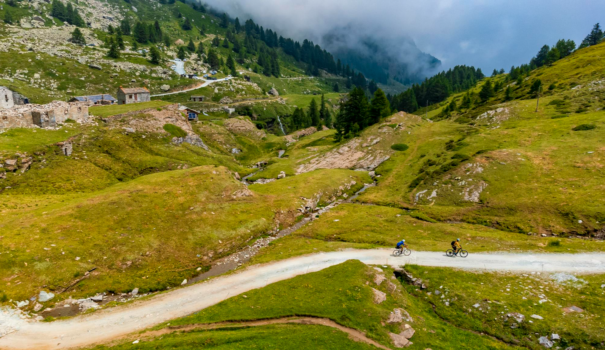
Must-do gravel routes in the Aosta Valley – the heart of the Italian Alps

Alta Via n. 2 of the Aosta Valley — high peaks and beautiful valleys in Italy
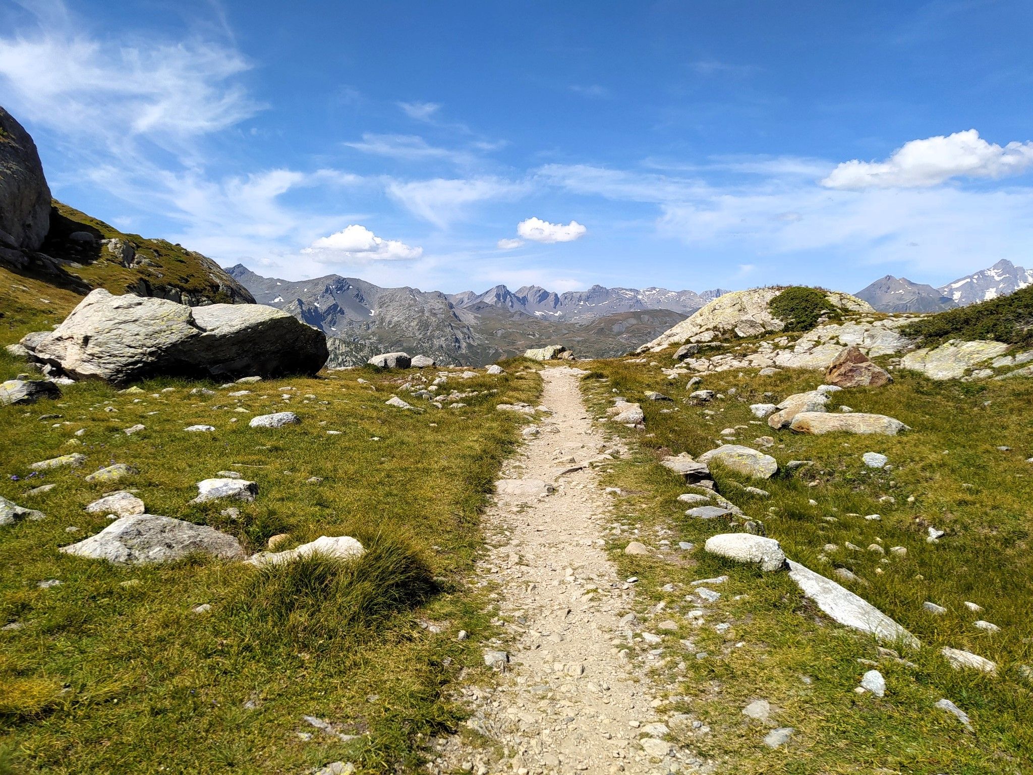
楽園でランニング - Valle d'Aosta の Alta Via 2
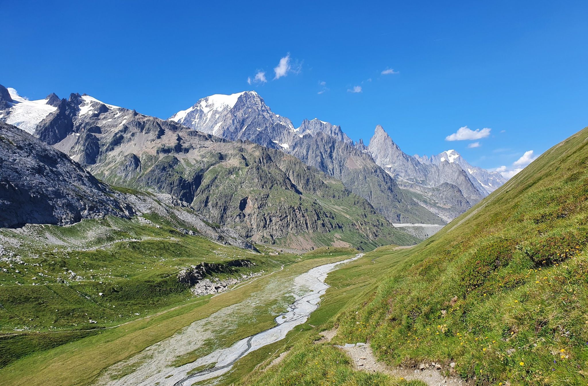
イタリアの高い峰と美しい谷間 - アオスタ谷のアルタ・ヴィア・トレイル
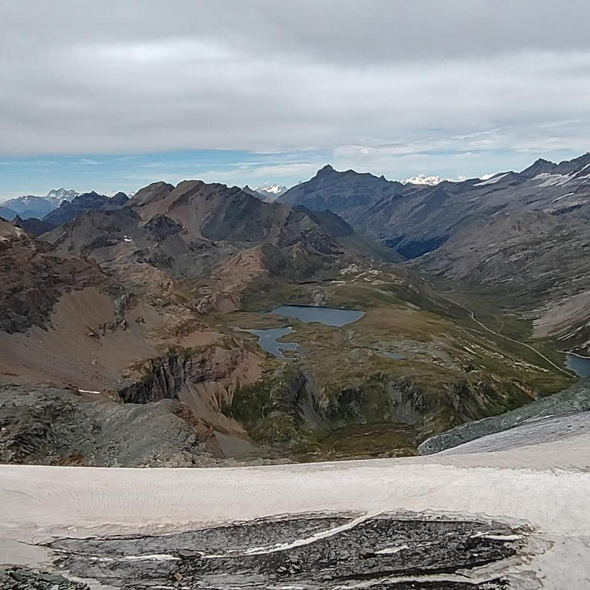
レームノートルダムでのハイキング
レームノートルダムのMTBトレイル

レームノートルダムでの登山&山歩き
レームノートルダムでのサイクリング
レームノートルダムのランニングコース
レームノートルダムのロードバイクルート
レームノートルダムでのの他の冒険


コミュニティからのヒント

登りは長いですが、アクセス可能です。景色はきれいで、交通量は最終的にかなり限られています(8月15日に行ったことを付け加えます) おすすめです!
0
0


The climb winds through a majestic valley (personally my favorite), never reaching excessive gradients; it's long but pedalable, allowing you to fully enjoy the natural surroundings. Apart from the peak season, there's almost no traffic, although you might encounter a few campers, which can be annoying on the way down. If you tackle the climb during periods of the year when there aren't too many tourists, you might, like me, have pleasant encounters with ibex and chamois that have come down to road level.
1
0

Challenging climb due to slopes and altitude. The most challenging part is the one between the two plateaus, it is worth saving money because the slope is there and after the second plateau the altitude also adds up. But the landscape is wonderful, especially in June, when it has just been cleared of snow and you can still cycle between the white walls.
0
0

At an altitude of 2625 metres, Colle del Nivolet marks the border between Piedmont and Valle d'Aosta. Going up from Ceresole Reale the road is entirely asphalted and therefore quite busy. Spectacular views 🤩🏔️
2
0

If the temperature allows it (in July it should be perfect) a dip in the lake is a fantastic emotion! The water is chilly (4 or 5°) but after the effort made to climb it gives a crazy charge!
0
0

Mineral and wild landscapes. Two welcome flats. Do not neglect the altitude (2700m)
0
0

Located at 2770 meters above sea level, the Col d'Iseran is the highest European asphalt pass. There are magnificent views of Val-d'Isère and the Maurienne. Egan Bernal won his Tour de France 2019 with tremendous action at this summit.
3
0
レームノートルダムでのの人気観光スポット

komootモバイルアプリでインスピレーションを得よう


さらに探索
これらのガイドでさらに壮大な山道を見てみましょうレームノートルダムでの:
