エトロウブレスの峠・トップ20
風景を楽しんだり、上りや下りを満喫したり、峠には楽しみ方がたくさんあります。エトロウブレスの素晴らしい峠の一覧を参照して、思い出に残るアドベンチャーに出かけましょう。コミュニティのメンバーがコミュニティのために投稿した峠のハイライトは、他のユーザーが実際におすすめする情報なので、どれも信頼できるものです。気に入った峠にさっそく向かってみましょう。
最終更新日: 9月 29, 2026
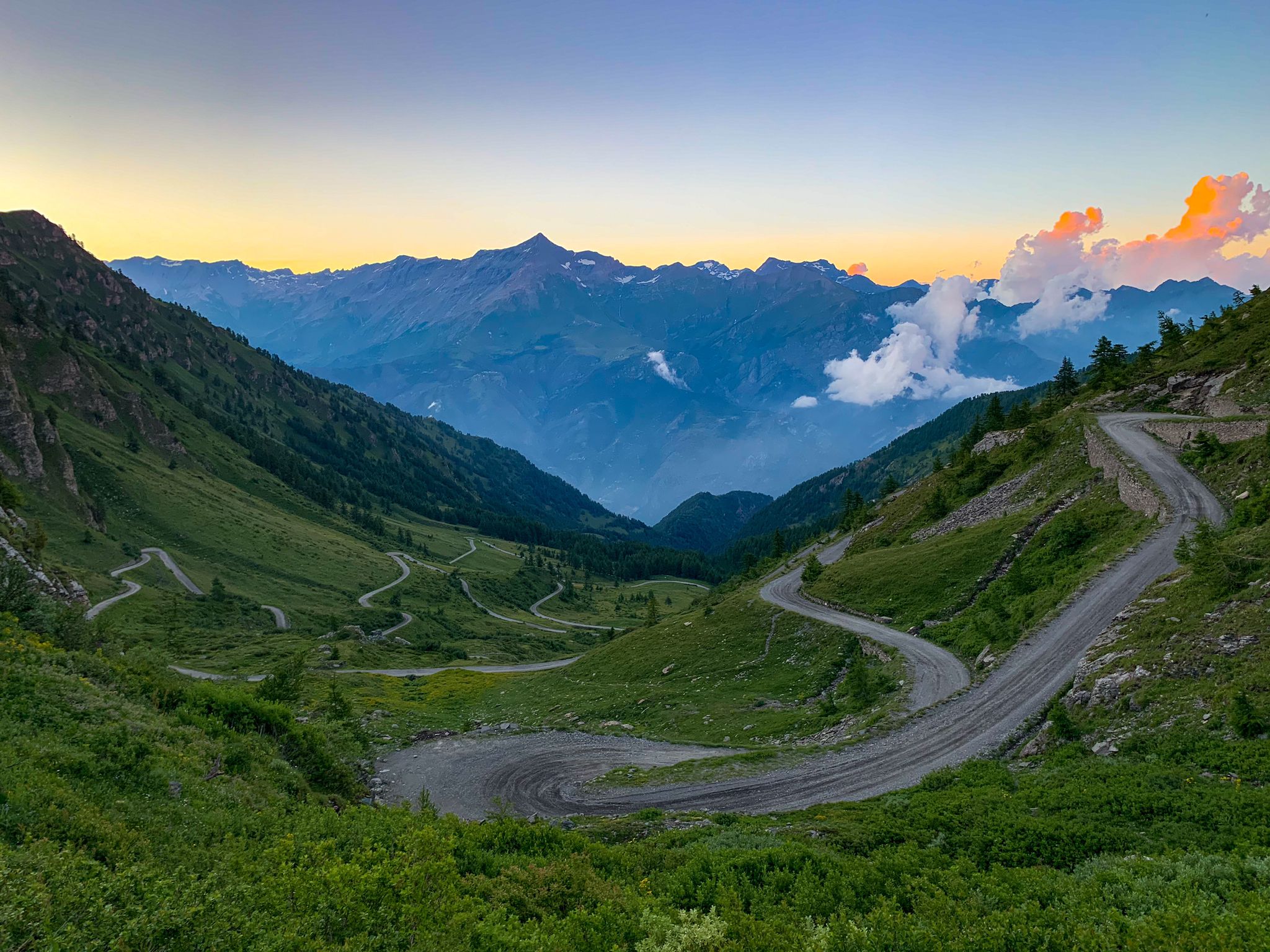
グラン・コル・フェレ(標高2,537 m)
ハイライト • 山道
翻訳者 Google •
役立つ情報 は

フェネートル・ド・フェレ
ハイライト • 山道
翻訳者 Google •
役立つ情報 は

今すぐサインアップして、こんな場所を発見しよう
最高のシングルトラック、ピーク、その他のエキサイティングなアウトドアスポットのおすすめを受け取ろう。
グラン=サン=ベルナールのホスピス
ハイライト • 山道
翻訳者 Google •
役立つ情報 は

コル・デ・マラトラ
ハイライト • 山道
翻訳者 Google •
役立つ情報 は


無料アカウントで今日から始めよう
次の冒険が待っています。


コミュニティからのヒント


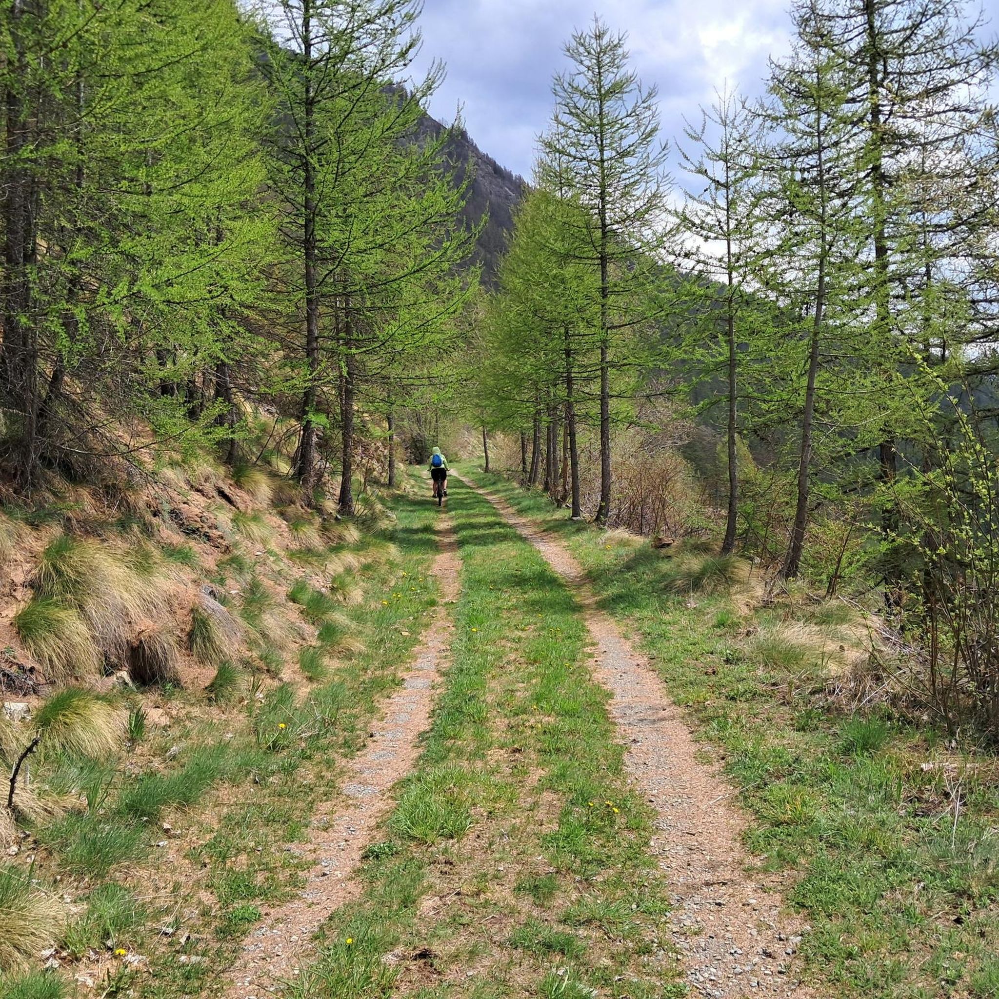
南から北へ来る場合はBockのセクションですが、下りは良いです。北から南へは永遠に押し上げるだけで、頂上付近は深い溝、石、水の排水のためにトレイルを横切るように配置された直立した石のために、ほとんど下りはありません。 https://youtu.be/tmoh7Z9TokQ?is=fje3AuQcRvHhyUTn
0
0

The pass between Switzerland and Italy connects Valais and the Aosta Valley (the smallest region in Italy with the black and red flag). "The Fenêtre de Durand is a 2,797-meter-high mountain pass in the Pennine Alps. The mule track connects the Swiss Rhône Valley via the Val de Bagnes with the Italian Aosta Valley. The gap between the 3,347-meter-high Mont Avril and the 3,518-meter-high Mont Gelé (Chanrion) is the only ice-free crossing over the main Alpine ridge east of the Grand Combin massif and west of the Monte Rosa massif. Immediately below the pass summit, on the Italian side, is the small Lac Fenêtre." Source: Wikipedia.
1
0

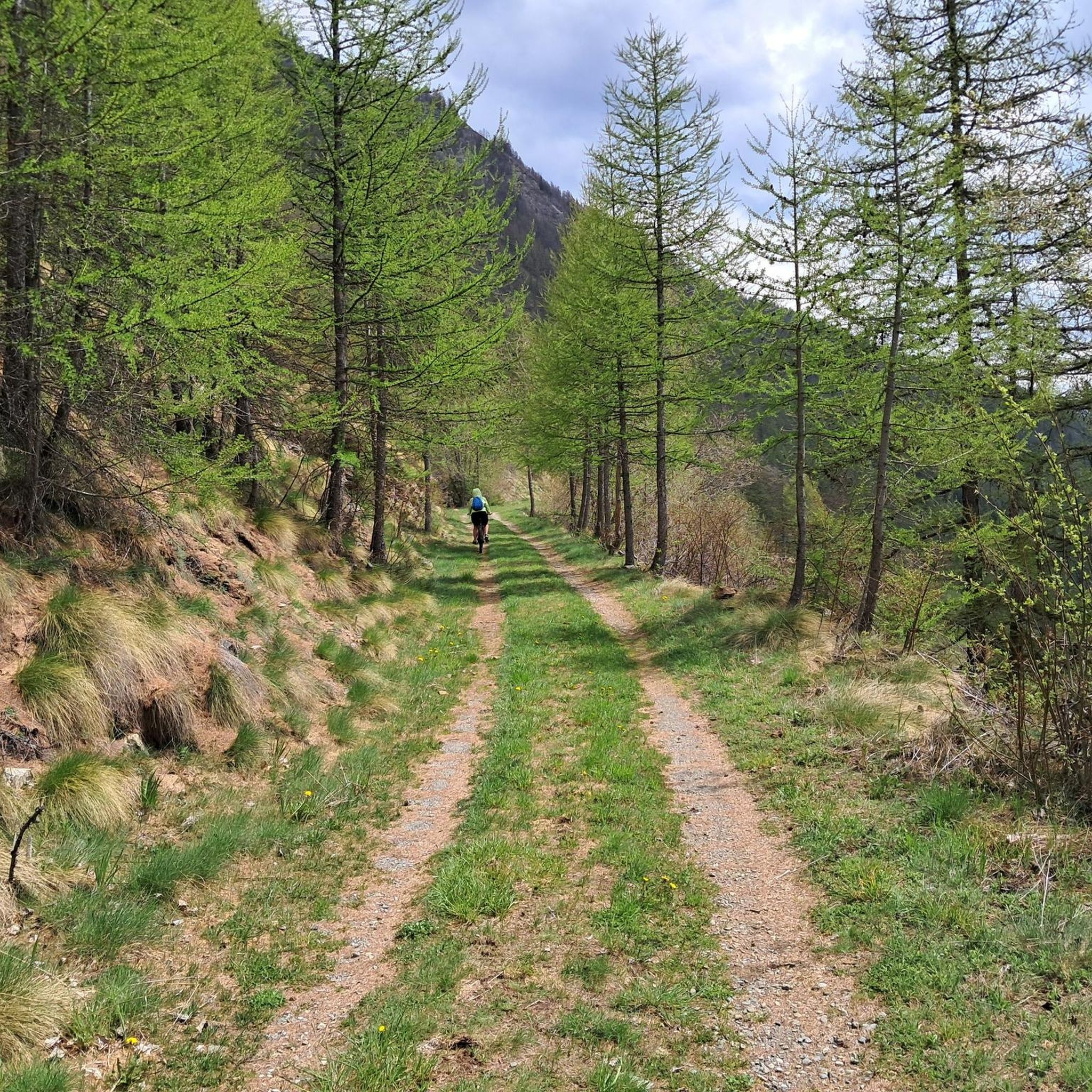
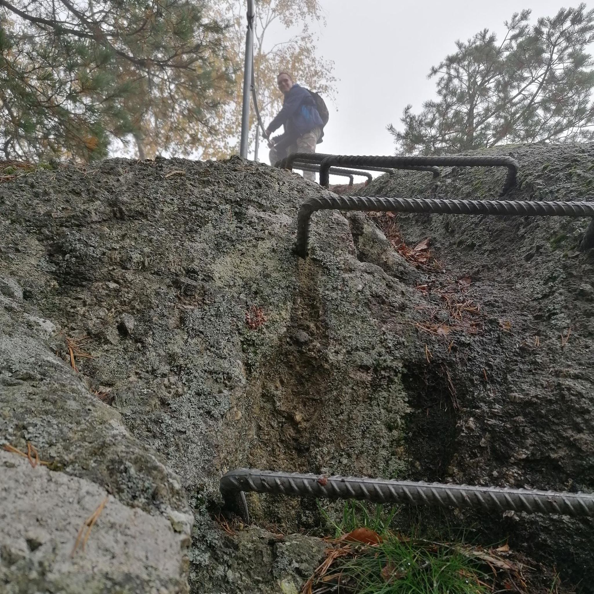
From the Italian side, you mostly have to carry the bike or use rails. Short sections are rideable. The descent into Val Ferret is mostly good, somewhere between S1 and S2. In some places, I had to carry/push the bike because it was too heavy. It took me about 25-30 minutes from the pass to Plan de la Chaux.
1
0


Great view of the Mont Blanc massif. You can drive to the refuge.
2
0
I recommend choosing the classic crossing via Col de Ferret. In contrast to the Fenetre de Ferret, the climb is partly rideable and the view of the Mont Blanc massif is much more spectacular.
1
0
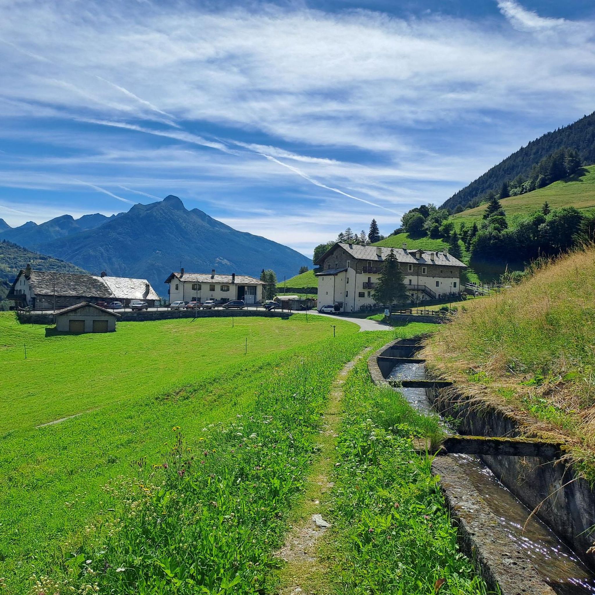
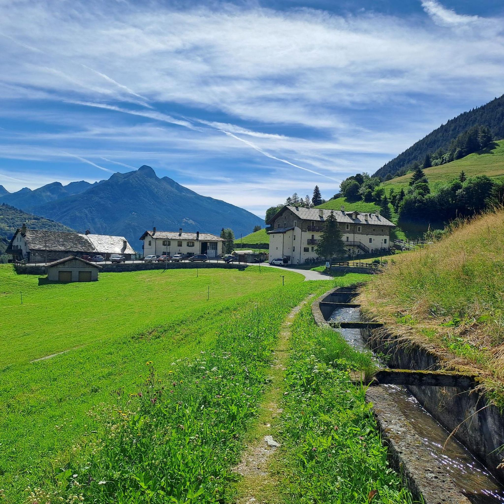
https://youtu.be/D352Ql5fMaY?feature=shared I also passed through here on the Tour du Combin. Crossing the lonely col is simply epic. The climb from Fionnay up to the reservoir through the many tunnels is an experience; the climb to the col is easy for a long time, but quite steep at the end. The descent across the lake into the valley is an absolutely fantastic trail, culminating in the Ru Neuf irrigation channel.
1
0
エトロウブレスでのの人気観光スポット

komootモバイルアプリでインスピレーションを得よう


さらに探索
これらのガイドでさらに壮大な山道を見てみましょうエトロウブレスでの:
