ティルナウのおすすめウォーキング&ハイキングルート
4.6
(661)
2,669
ハイカー
114
ハイキング
ティルナウ周辺でのハイキングは、景色を満喫するのに最適な手段のひとつですが、適切なハイキングルートを見つけることは簡単ではありません。 ティルナウ周辺の人気ハイキング&ウォーキングコースを参考にすれば、行きたいルートをすぐに見つけられます。
最終更新日: 10月 14, 2026
4.8
(39)
153
ハイカー
11.7km
03:19
230m
230m
中程度のハイキング. ある程度のフィットネスレベルが必要です。 歩きやすい道です。
4.5
(19)
69
ハイカー
7.62km
02:14
210m
210m
中程度のハイキング. ある程度のフィットネスレベルが必要です。 歩きやすい道です。

4.8
(15)
83
ハイカー
12.3km
03:31
280m
280m
中程度のハイキング. ある程度のフィットネスレベルが必要です。 歩きやすい道です。
4.8
(36)
116
ハイカー
9.50km
02:42
210m
210m
中程度のハイキング. ある程度のフィットネスレベルが必要です。 歩きやすい道です。
4.6
(49)
152
ハイカー
5.07km
01:31
140m
140m
初級者向けハイキング. 歩きやすい道です。
さらに多くのルートや他のユーザーのおすすめ情報を確認できます。
すでにアカウントをお持ちですか?
おすすめのツアーは他のkomootユーザーが実際に経験した何千ものアクティビティに基づいています。



コミュニティからのヒント

The entire crew (4 people) was killed in the crash on December 24, 1941.
3
0

Hötteuther Bach near Grafmühle, with steep singletrack.
0
1


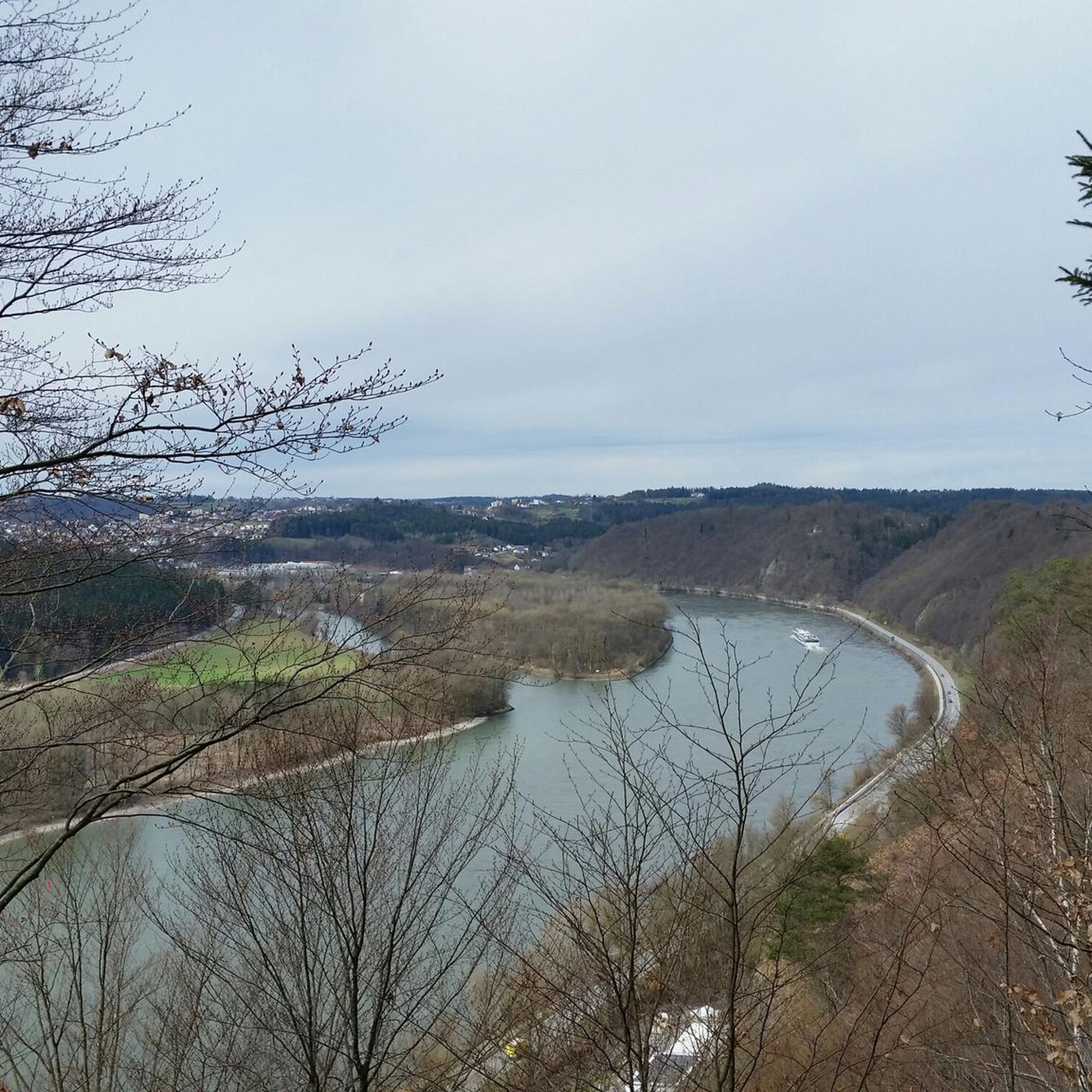
A special highlight is the viewing point on the Hochstein, which rewards you with a breathtaking view over the Danube Valley. There, comfortable benches invite you to take a relaxing break - perfect for enjoying the beauty of the landscape to the fullest.
6
0
In memory of the plane crash in 1941
5
0
beautiful park at the Prof. Schedel Clinic
0
0
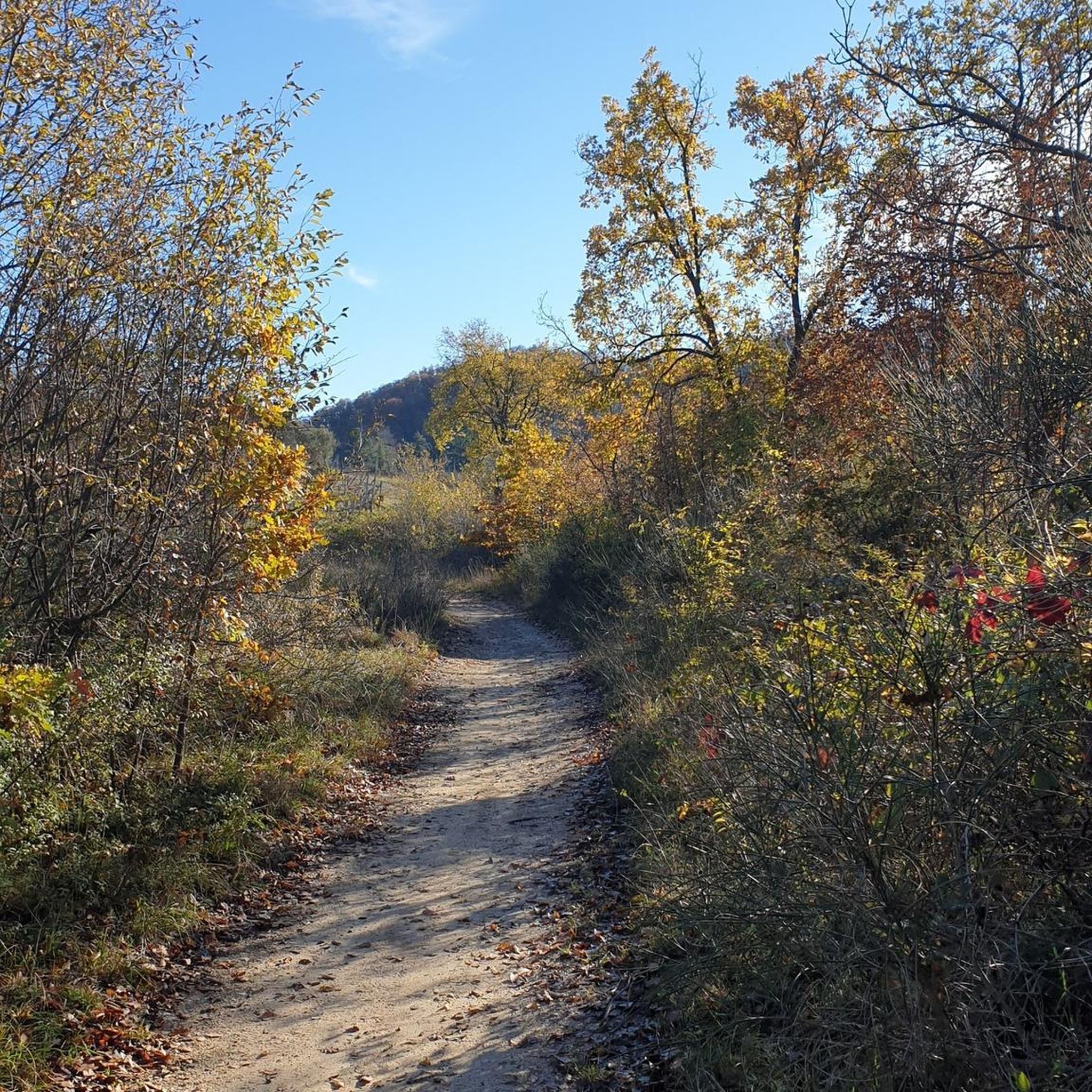
a well-secured hiking trail on the tame Erlau
0
1

komootモバイルアプリでインスピレーションを得よう


さらに探索
他の地域の最高のハイキングを見てみましょう。
