ゾンネンのおすすめウォーキング&ハイキングルート
4.6
(154)
548
ハイカー
44
ハイキング
ゾンネン周辺でのハイキングは、景色を満喫するのに最適な手段のひとつですが、適切なハイキングルートを見つけることは簡単ではありません。 ゾンネン周辺の人気ハイキング&ウォーキングコースを参考にすれば、行きたいルートをすぐに見つけられます。
最終更新日: 8月 21, 2026
4.4
(20)
64
ハイカー
4.63km
01:21
120m
120m
初級者向けハイキング. あらゆるフィットネスレベルに適しています。 進みやすいルートです。あらゆるスキルレベルに適しています。
4.5
(11)
27
ハイカー
15.4km
04:30
400m
400m
難しいハイキング. ある程度のフィットネスレベルが必要です。 安定して歩行できる技術、丈夫な靴、高標高地での登山経験が必要です。

無料新規登録
4.2
(5)
19
ハイカー
13.0km
03:41
280m
280m
中程度のハイキング. ある程度のフィットネスレベルが必要です。 進みやすいルートです。あらゆるスキルレベルに適しています。
4.4
(5)
17
ハイカー
6.48km
01:49
130m
130m
初級者向けハイキング. あらゆるフィットネスレベルに適しています。 進みやすいルートです。あらゆるスキルレベルに適しています。
4.3
(3)
15
ハイカー
10.2km
03:01
300m
300m
難しいハイキング. ある程度のフィットネスレベルが必要です。 安定して歩行できる技術、丈夫な靴、高標高地での登山経験が必要です。
さらに多くのルートや他のユーザーのおすすめ情報を確認できます。
無料新規登録
すでにアカウントをお持ちですか?
おすすめのツアーは他のkomootユーザーが実際に経験した何千ものアクティビティに基づいています。
無料アカウントで今日から始めよう
次の冒険が待っています。
ログインまたは登録
コミュニティからのヒント


Fine to medium-grained biotite granite was mined in the former quarry. The northern quarry wall opens up a dark "porphyrite" vein about 1 m thick. The "porphyrite" (andesite) weathers very lightly in places. The vein was only partially mined. Therefore, the strikingly different fracture behavior of granite (wide fracture network, large blocks) and "porphyrite" (close-meshed fracture network, small-block, sharp-edged rubble) is clearly visible on the wall. Bavarian State Office for the Environment (LfU). https://www.umweltatlas.bayern.de/standortauskunft/rest/reporting/sb_geotope/generate?additionallayerfieldvalue=275A034
3
0

On February 9, 2025, we enjoyed delicious Kaiserschmarrn 🥘 and coffee ☕️ outside on the sun terrace 🌞. A clear recommendation 👍 for the Sonnenalm 🤗.
1
0

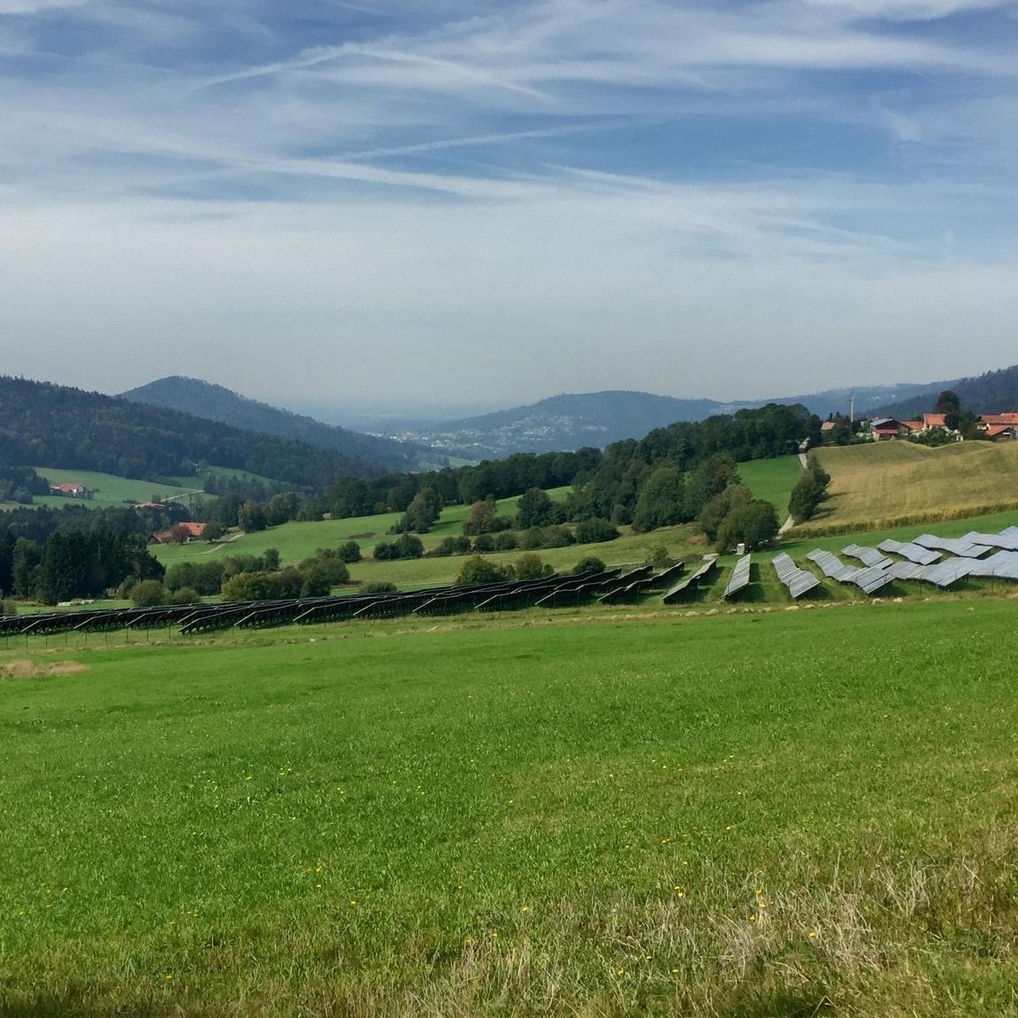
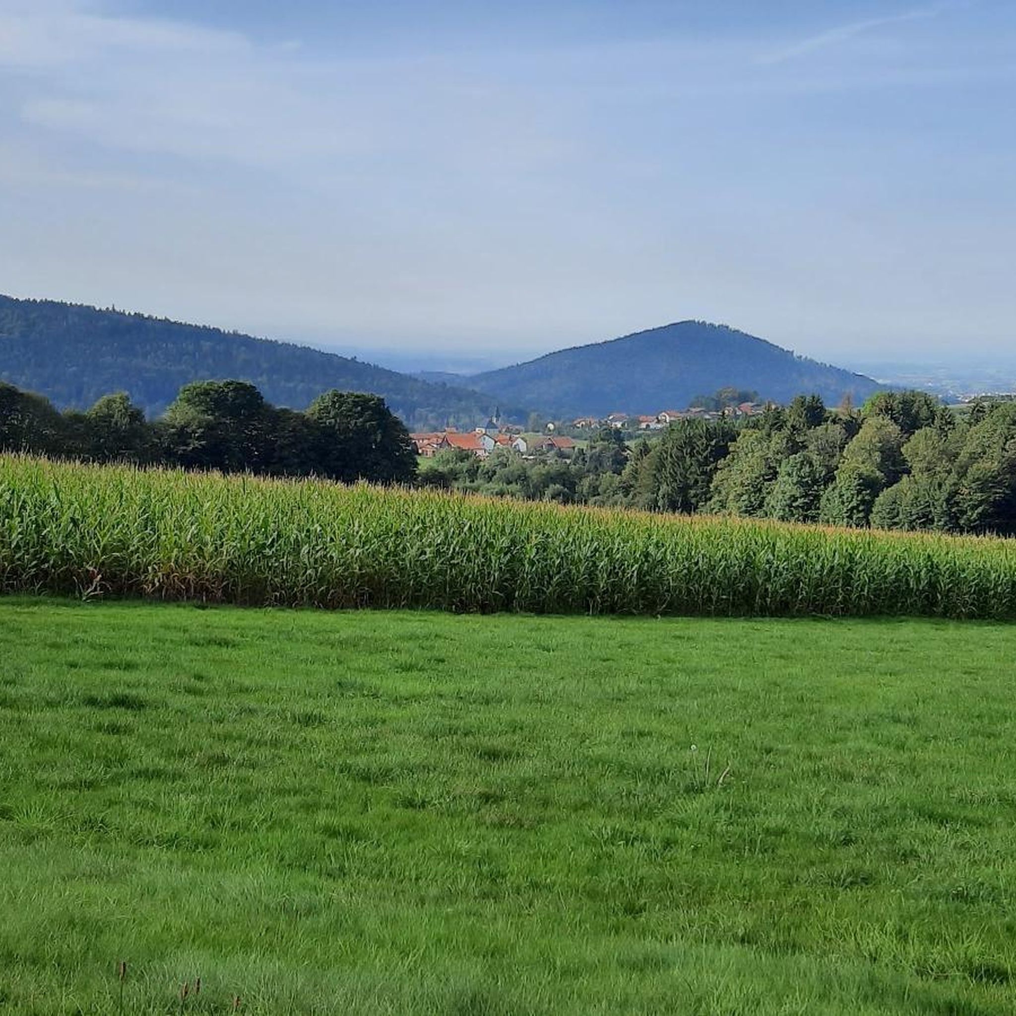
sometimes distant views as far as the Alps
2
0

Top view with good food and drink
1
0


komootモバイルアプリでインスピレーションを得よう


さらに探索
他の地域の最高のハイキングを見てみましょう。
