トイッチェンタールのおすすめウォーキング&ハイキングルート
4.5
(682)
6,563
ハイカー
110
ハイキング
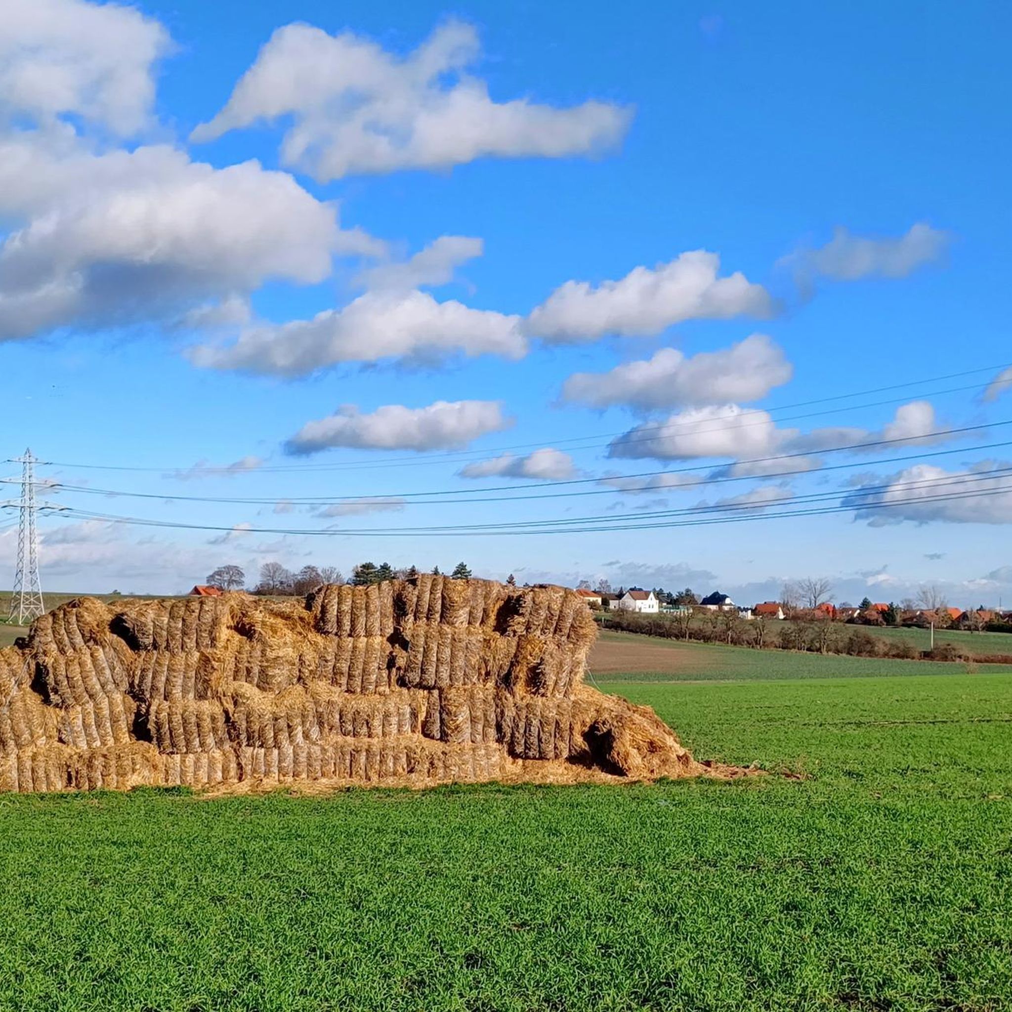
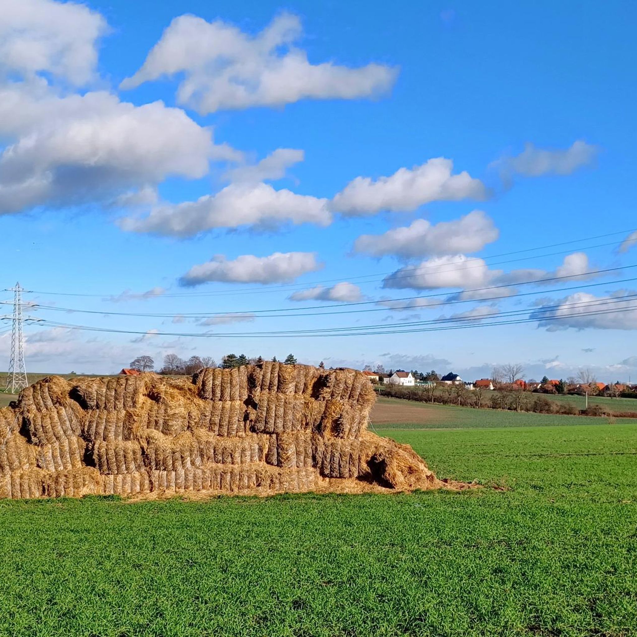
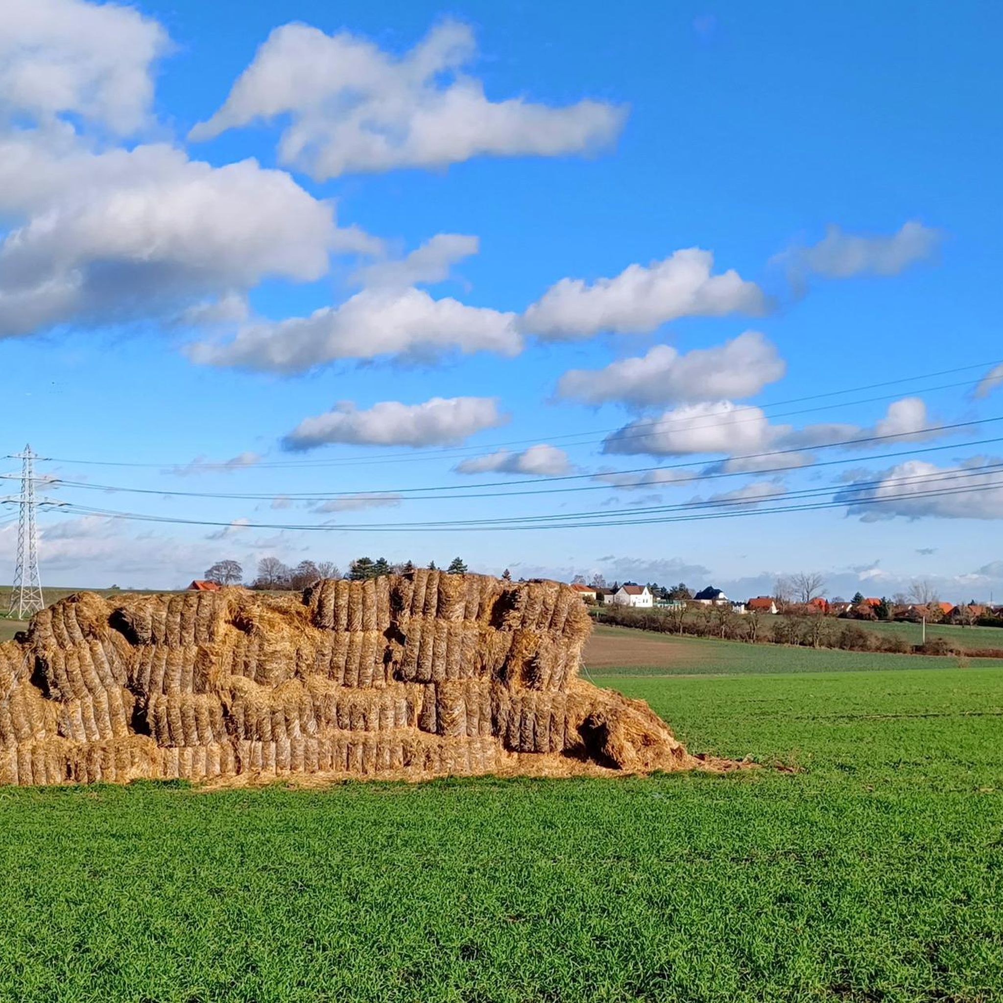
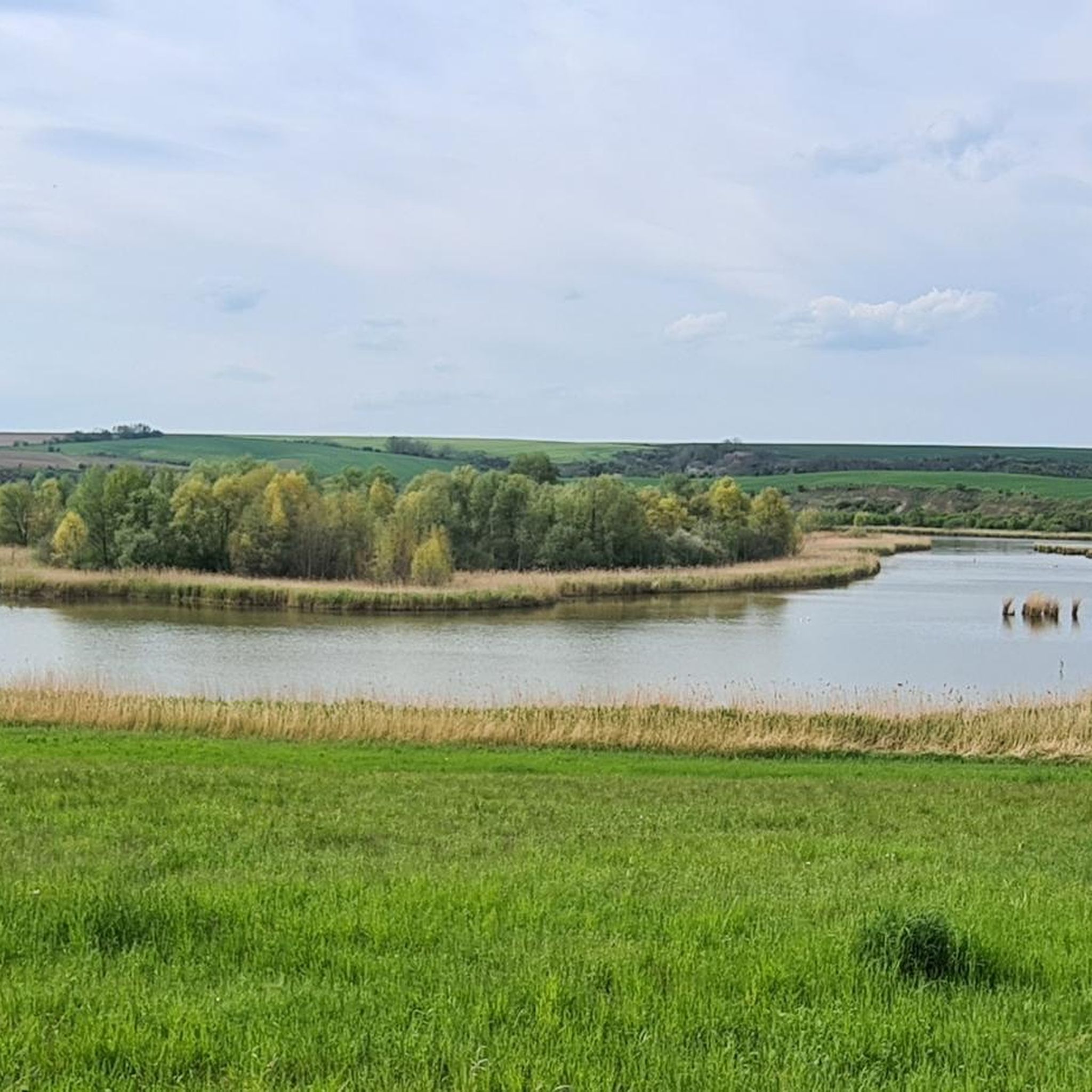
ハイキングは、なだらかな丘陵地帯、川の谷、そして農耕地帯を特徴とする景観を巡ります。この地域にはブドウ畑や小さな村があり、開けた畑と木々に覆われた区間が混在しています。標高は一般的に低いため、多くのルートは様々な体力レベルの方でもアクセス可能です。この地域はザーレ川沿いに位置しており、川岸に沿ってルートが伸びています。また、ガイゼルターゼー湖のような近くの湖も含まれています。
テューツェンタール周辺の最高のハイキングコース
- 最も人気のあるハイキングコースは、ヘンデルのブドウ畑 – ランゲンボーゲン発、ザーレ川沿いのループです。このコースは9.5km(5.9マイル)で、所要時間は2時間28分です。この適度な難易度のルートはザーレ川に沿って進み、ブドウ畑を通過します。
- 地元のハイカーに人気のもう一つのコースは、ホーレベン村教会 – プフィンクステンガー・バイ・ヴュルミッツ発、ルターの樫の木ループです。これは4.9km(3.0マイル)の簡単なコースです。この周回ウォーキングは、歴史的な村のランドマークを結んでいます。
- 地元のハイカーに愛されているのは、シュトラウスヴィルシャフ・アット・シュタイネック – ランゲンボーゲン発、ヴァイングート・フォルツのループです。この11.7km(7.3マイル)のコースは、ブドウ畑やなだらかな丘陵地帯を通り抜け、所要時間は約3時間8分です。
- テューツェンタール周辺のハイキングは、ブドウ畑、川の谷、村の小道によって特徴づけられます。このネットワークは、簡単なウォーキングからより適度な難易度のトレイルまで、様々なレベルのオプションを提供しています。
- テューツェンタールのルートは、komootコミュニティから高く評価されており、240件以上のレビューから平均4.4つ星を獲得しています。1,100人以上のハイカーがkomootを利用して、テューツェンタールの多様な地形を探索しています。
最終更新日: 9月 17, 2026
4.7
(40)
135
ハイカー
8.57km
02:17
90m
90m
中程度のハイキング. ある程度のフィットネスレベルが必要です。 進みやすいルートです。あらゆるスキルレベルに適しています。
4.4
(13)
43
ハイカー
11.7km
03:08
130m
130m
中程度のハイキング. ある程度のフィットネスレベルが必要です。 進みやすいルートです。あらゆるスキルレベルに適しています。

4.1
(7)
33
ハイカー
16.2km
04:20
190m
190m
中程度のハイキング. ある程度のフィットネスレベルが必要です。 進みやすいルートです。あらゆるスキルレベルに適しています。
3.0
(3)
13
ハイカー
12.2km
03:12
100m
100m
中程度のハイキング. ある程度のフィットネスレベルが必要です。 進みやすいルートです。あらゆるスキルレベルに適しています。
4.8
(8)
36
ハイカー
4.27km
01:06
20m
20m
初級者向けハイキング. あらゆるフィットネスレベルに適しています。 進みやすいルートです。あらゆるスキルレベルに適しています。
さらに多くのルートや他のユーザーのおすすめ情報を確認できます。
すでにアカウントをお持ちですか?
おすすめのツアーは他のkomootユーザーが実際に経験した何千ものアクティビティに基づいています。
無料アカウントで今日から始めよう
次の冒険が待っています。

コミュニティからのヒント

You can get to the shore in a few places, but nothing more.
7
0
The Salza gives its name to the valley and accompanies you along the beautiful paths.
6
0
A good starting point for a hike, with plenty of parking. And if you're lucky, you can even stop for a bite to eat afterward.
9
0
The church sits mystically in the village, with the mighty copper beech tree dominating the entire church square. A must-see.
7
0

The Great Castle Pond is a natural landscape that is not adequately maintained for hikers. According to the KOMOOT map, a walk around it is possible, but practically impossible because many areas are overgrown.
2
0
The route takes you through a tranquil landscape along the Salza.
3
0

If you visit all the wine taverns, there isn't much left for cycling ;-).
0
0

Bench with a view of Langenbogen. Behind it are two deep drains without lids. In the middle of nowhere. I wonder what that used to be!?
0
0

komootモバイルアプリでインスピレーションを得よう


さらに探索
他の地域の最高のハイキングを見てみましょう。
