ザルツァタールのおすすめウォーキング&ハイキングルート
4.5
(822)
6,659
ハイカー
192
ハイキング
ザルツァタール 周辺でおすすめのハイキングやウォーキングを楽しんでいただけるように、このエリアの小径やルートを集めたkomootコレクション全体を見直しました。 以下で各ルートの詳細をご覧になり、ザルツァタール周辺の大自然を満喫する際の参考にしてください。
最終更新日: 11月 2, 2026
4.4
(18)
48
ハイカー
5.05km
01:50
30m
30m
中程度のハイキング. ほとんどが歩ける道です。足元への注意が必要です。
4.5
(32)
106
ハイカー
13.2km
03:36
200m
200m
中程度のハイキング. ある程度のフィットネスレベルが必要です。 歩きやすい道です。

4.8
(34)
104
ハイカー
9.06km
02:29
140m
140m
中程度のハイキング. ある程度のフィットネスレベルが必要です。 歩きやすい道です。
4.7
(28)
91
ハイカー
8.49km
02:12
50m
50m
中程度のハイキング. ある程度のフィットネスレベルが必要です。 歩きやすい道です。
4.7
(24)
69
ハイカー
12.1km
03:23
180m
180m
中程度のハイキング. ある程度のフィットネスレベルが必要です。 ほとんどが歩ける道です。足元への注意が必要です。
さらに多くのルートや他のユーザーのおすすめ情報を確認できます。
すでにアカウントをお持ちですか?
おすすめのツアーは他のkomootユーザーが実際に経験した何千ものアクティビティに基づいています。
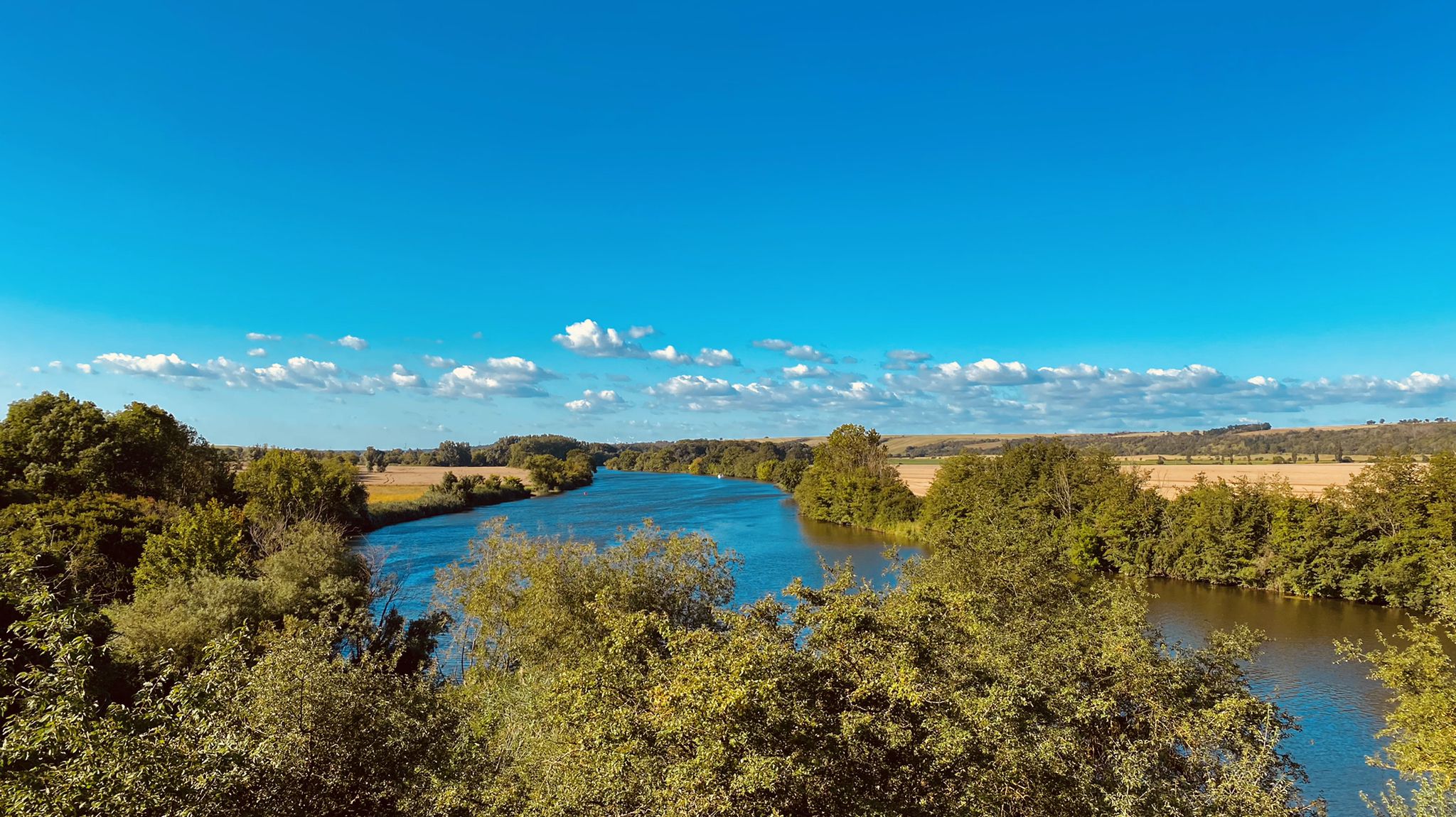
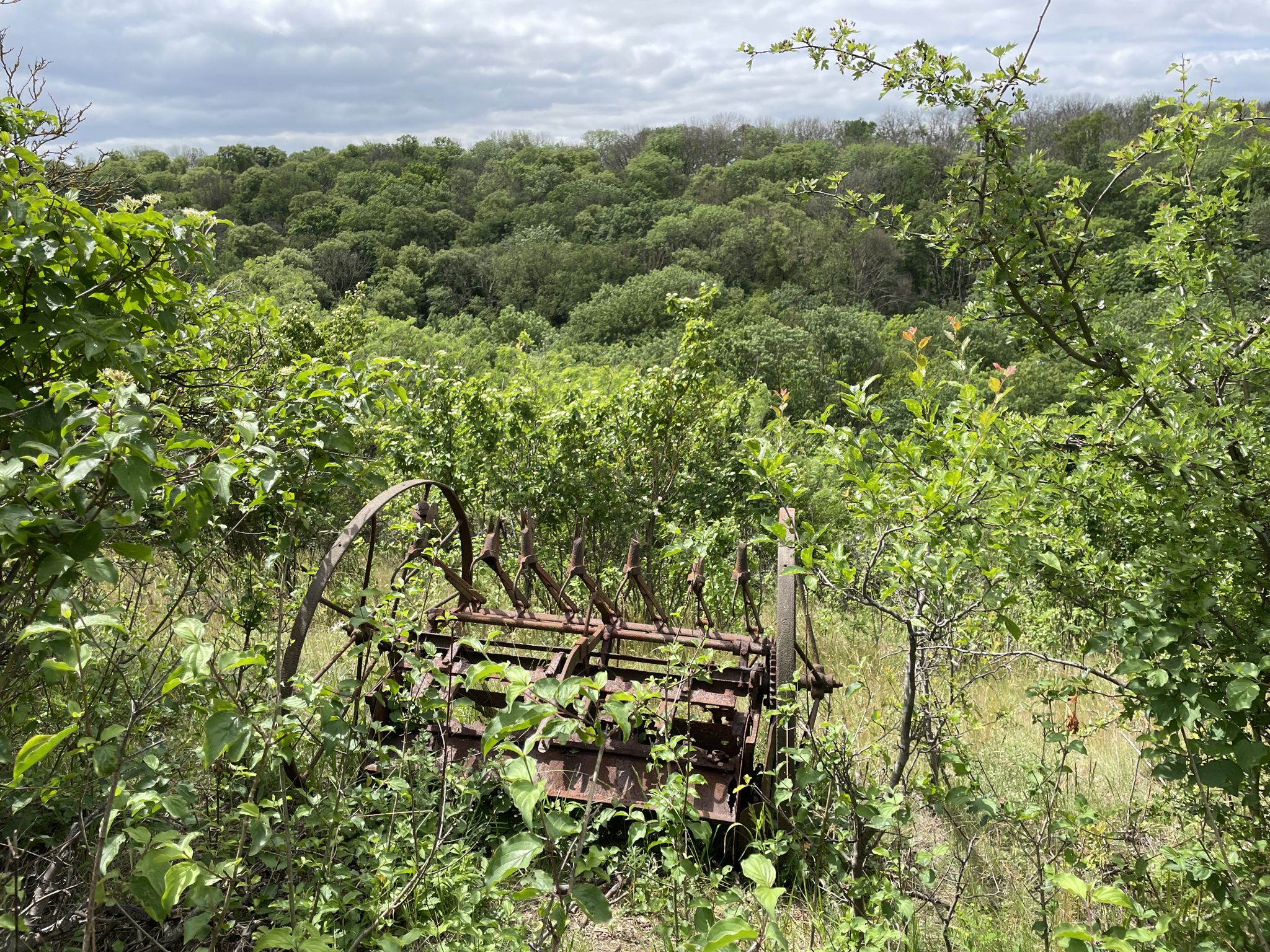
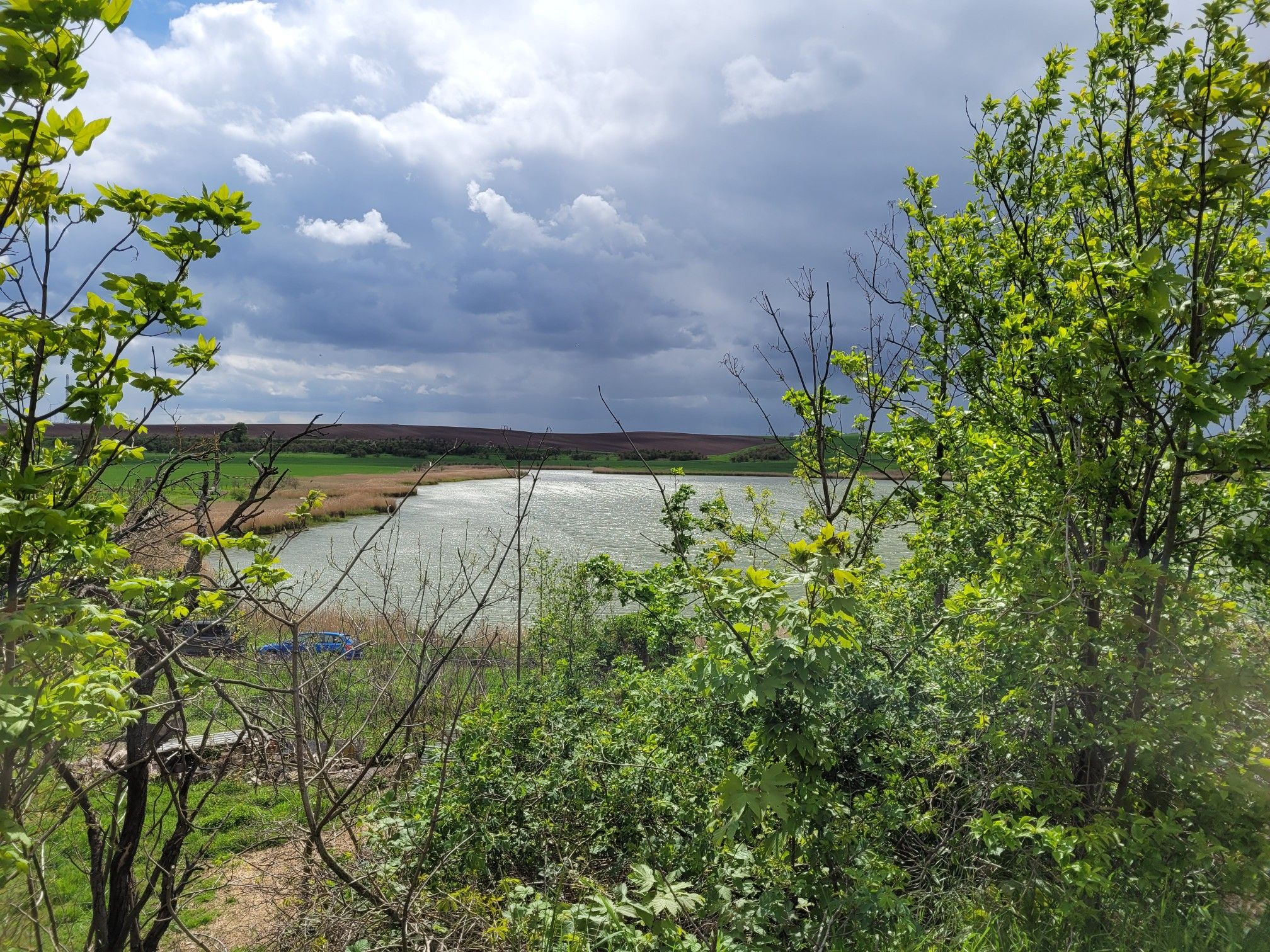
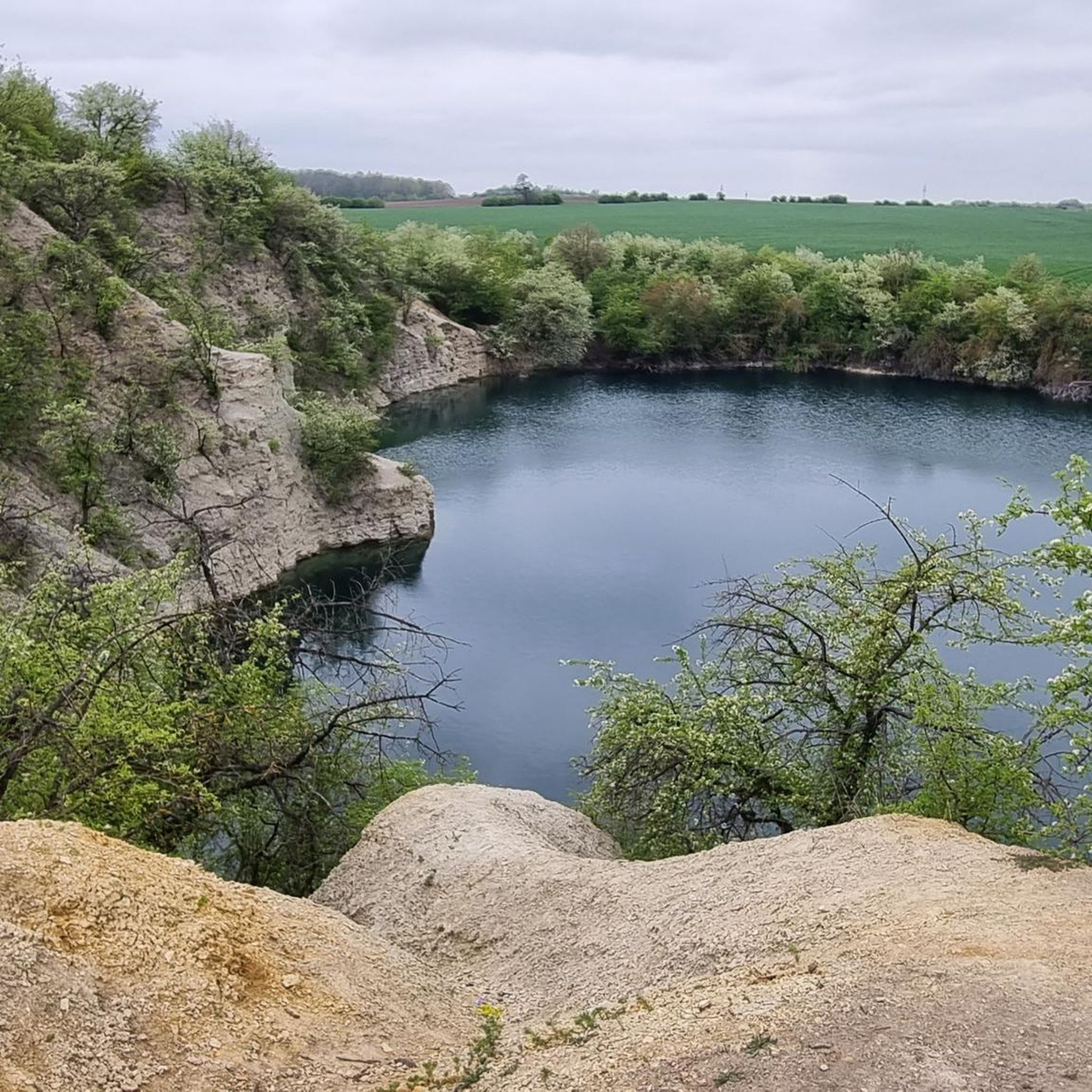
ザルツァタールでのの他の冒険

コミュニティからのヒント

ザクセン=アンハルト州のSeegebiet Mansfelder Land自治体のSeeburg地区にあるSüßer See湖畔の歴史的なSeeburg城。ルネサンス様式で建てられ、自然保護区の中心にある水辺のすぐそばにあります。人気の周回ルートが湖の周りを巡っています。
0
0

A beautiful 10 km walk between Langenbogen & Kölme.
7
2
You can get to the shore in a few places, but nothing more.
7
0
The Salza gives its name to the valley and accompanies you along the beautiful paths.
6
0
A good starting point for a hike, with plenty of parking. And if you're lucky, you can even stop for a bite to eat afterward.
9
0

The Great Castle Pond is a natural landscape that is not adequately maintained for hikers. According to the KOMOOT map, a walk around it is possible, but practically impossible because many areas are overgrown.
2
0
The route takes you through a tranquil landscape along the Salza.
3
0

komootモバイルアプリでインスピレーションを得よう


さらに探索
他の地域の最高のハイキングを見てみましょう。
