チェッロ・タナロのおすすめウォーキング&ハイキングルート
4.2
(154)
551
ハイカー
71
ハイキング
チェッロ・タナロ周辺でのハイキングは、景色を満喫するのに最適な手段のひとつですが、適切なハイキングルートを見つけることは簡単ではありません。 チェッロ・タナロ周辺の人気ハイキング&ウォーキングコースを参考にすれば、行きたいルートをすぐに見つけられます。
最終更新日: 10月 18, 2026
3.0
(2)
6
ハイカー
6.02km
01:40
110m
110m
Hike an easy 3.7-mile (6.0 km) woodland trail in Parco Naturale di Rocchetta Tanaro to discover Piedmont's monumental beech.
4.2
(6)
9
ハイカー
13.4km
03:29
90m
90m
Peaceful countryside walk through UNESCO-listed Monferrato vineyards on characteristic white gravel roads.

18.0km
04:48
190m
200m
Peaceful countryside trail connecting historic churches through Piedmont's timeless rural landscapes.
4.7
(22)
64
ハイカー
6.50km
01:49
120m
120m
初級者向けハイキング. あらゆるフィットネスレベルに適しています。 進みやすいルートです。あらゆるスキルレベルに適しています。
5.0
(6)
19
ハイカー
13.1km
03:31
150m
150m
中程度のハイキング. ある程度のフィットネスレベルが必要です。 進みやすいルートです。あらゆるスキルレベルに適しています。
さらに多くのルートや他のユーザーのおすすめ情報を確認できます。
すでにアカウントをお持ちですか?
おすすめのツアーは他のkomootユーザーが実際に経験した何千ものアクティビティに基づいています。
無料アカウントで今日から始めよう
次の冒険が待っています。

コミュニティからのヒント

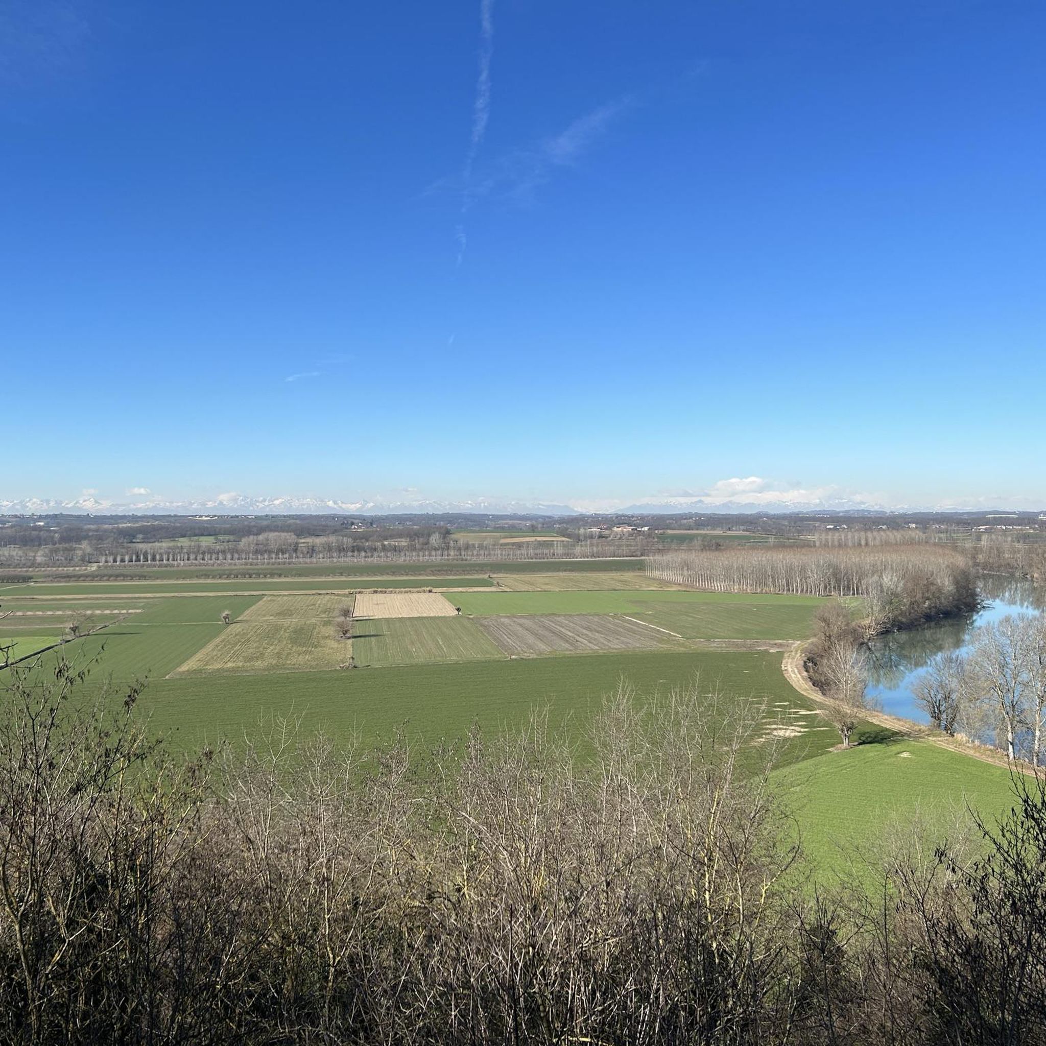
The bridge that crosses the Tanaro river with the town of Masio in the background. We are in a border area between the provinces of Asti and Alessandria and these are roads that I often travel and on which I feel very comfortable. The road in question is Provincial 247.
0
0
In the historic center of the town. The tower is the symbol of the community and visible from afar due to its grandeur. It is home to a museum.
0
0


Bridge over the Tanaro at Masion. Beautiful river and beautiful surroundings, lots of wine. More information: https://de.wikipedia.org/wiki/Masio and https://de.wikipedia.org/wiki/Tanaro
0
0
チェッロ・タナロでのの人気観光スポット

komootモバイルアプリでインスピレーションを得よう


さらに探索
他の地域の最高のハイキングを見てみましょう。
