スルツフェルダーの森のおすすめツーリングルート
4.5
(1410)
5,883
ライダー
371
ライド
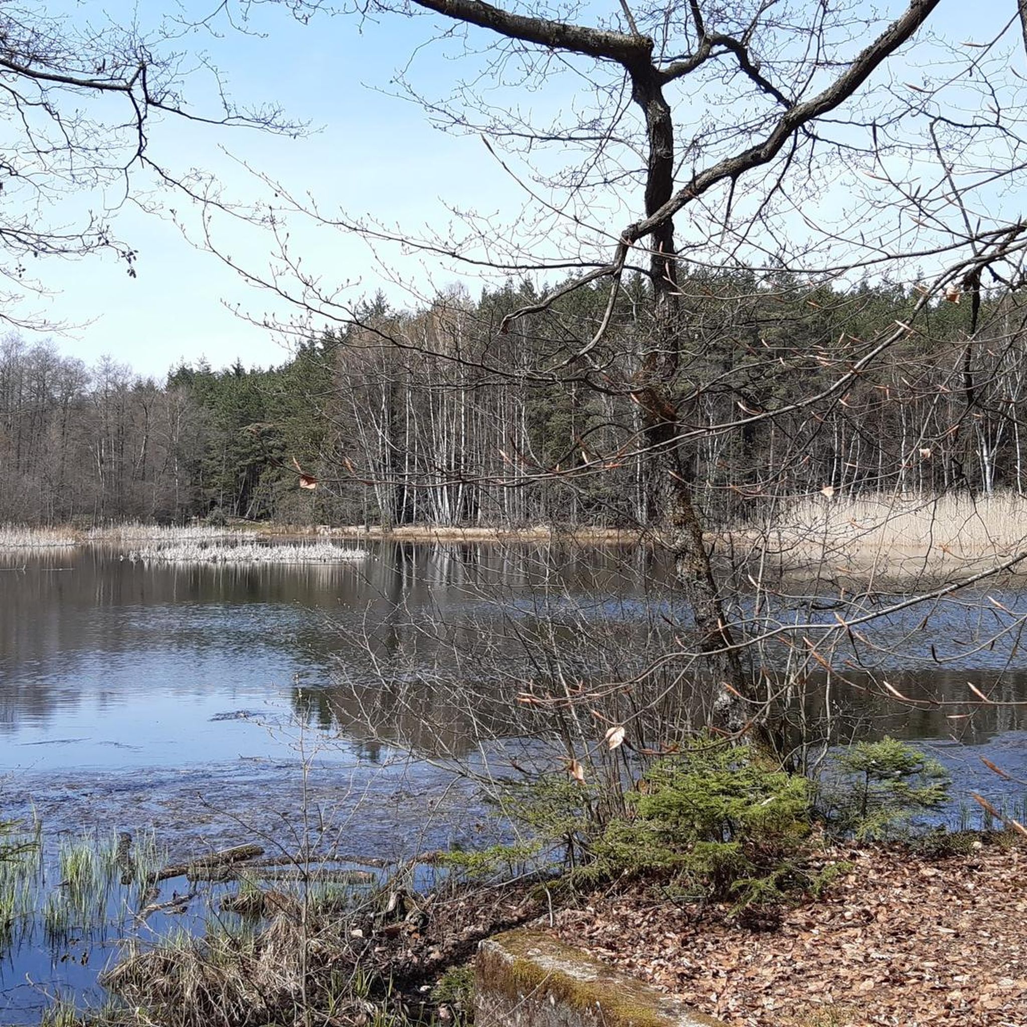
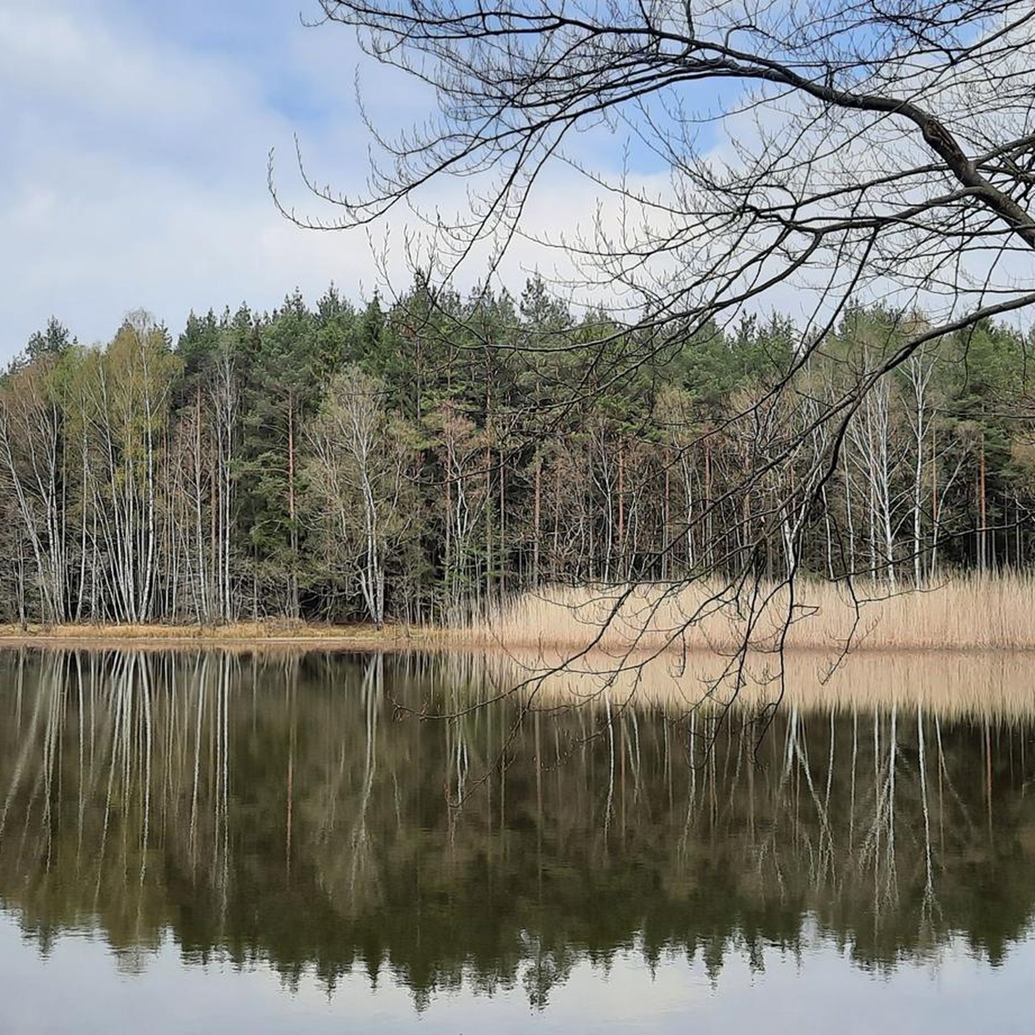
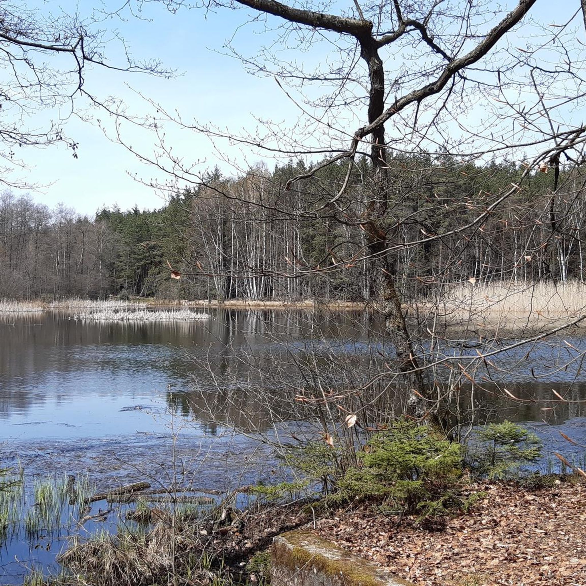
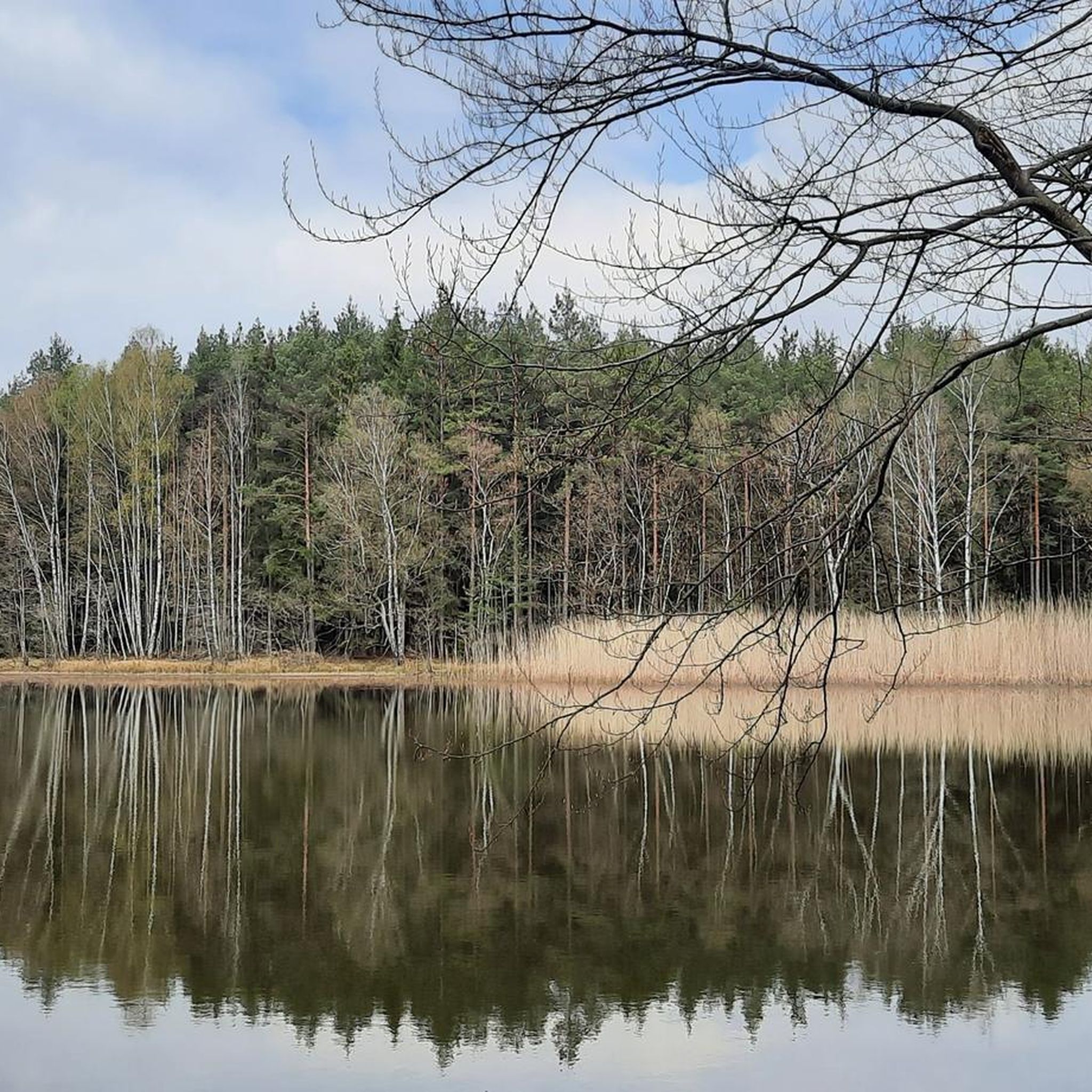
Sulzfelder Forst周辺のサイクリングは、ドイツ、バイエルン州のレーン山脈とハスベルゲ山脈の麓にある、緩やかに起伏する風景が特徴です。この地域は、緑豊かな森、風光明媚な川の谷、穏やかなブドウ畑など、多様な地形を特徴としています。サイクリストは、極端にきつい登り坂のない変化に富んだ地形を期待でき、特定の展望ポイントからはレーン山脈やテューリンゲン州の景色を眺めることができます。
Sulzfelder Forst周辺の最高のサイクリングルート
- 最も人気のあるサイクリングルートは、ズールツフェルトからのサイクリングパスループ上の「Die Anstalt Café」です。これは22.4マイル(36.1 km)のトレイルで、所要時間は2時間16分です。この適度な難易度のルートは、地元の田園地帯を巡る景色の良い旅を提供します。
- 地元のサイクリストに人気のもう一つのルートは、ザーレ橋、ホルシュタット – ビルンフェルトからのクロイツベルグループの眺めです。これは73.0マイル(117.5 km)の難易度の高いパスです。このルートは、レーン山脈とテューリンゲン州への広大な眺めを提供し、変化に富んだ地形を横断します。
- 地元のサイクリストに人気のもう一つのルートは、ズールツフェルトからのクラインバルドルフ休憩所ループです。これは11.7マイル(18.8 km)のトレイルで、緩やかに起伏する風景を通り抜け、通常約1時間5分で完了します。
- Sulzfelder Forst周辺のサイクリングは、緩やかに起伏する丘、レーン山脈とハスベルゲ山脈の眺め、そして手つかずの自然によって特徴づけられます。このネットワークは、簡単なパスからより挑戦的なルートまで、さまざまなレベルの能力に対応するオプションを提供します。
- Sulzfelder Forestのルートは、komootコミュニティから高く評価されており、1100件以上のレビューから平均4.6つ星を獲得しています。5400人以上のサイクリストがkomootを使用して、Sulzfelder Forestの多様な地形を探索しています。
最終更新日: 9月 7, 2026
4.8
(30)
89
ライダー
46.0km
02:55
310m
310m
難しい自転車ライド. ある程度のフィットネスレベルが必要です。 ツアーの一部で自転車を押して歩く必要があるかもしれません。
4.6
(7)
40
ライダー
23.3km
01:22
110m
110m
初級者向けバイクライド. あらゆるフィットネスレベルに適しています。 全般的に舗装された状態です。あらゆるスキルレベルに適しています。

25
ライダー
43.1km
02:36
340m
340m
中程度の自転車ライド. ある程度のフィットネスレベルが必要です。 全般的に舗装された状態です。あらゆるスキルレベルに適しています。
4.9
(9)
18
ライダー
32.9km
02:04
290m
290m
中程度の自転車ライド. ある程度のフィットネスレベルが必要です。 全般的に舗装された状態です。あらゆるスキルレベルに適しています。
4.8
(4)
18
ライダー
26.9km
02:04
240m
240m
中程度の自転車ライド. ある程度のフィットネスレベルが必要です。 全般的に舗装された状態です。あらゆるスキルレベルに適しています。
さらに多くのルートや他のユーザーのおすすめ情報を確認できます。
すでにアカウントをお持ちですか?
おすすめのツアーは他のkomootユーザーが実際に経験した何千ものアクティビティに基づいています。
無料アカウントで今日から始めよう
次の冒険が待っています。
コミュニティからのヒント

Very nice market square with lots of half-timbered houses
1
0


When crossing the Saale you have a beautiful view of the river.
13
0
The Roman Catholic parish church of the Holy Trinity is the village church of Saal an der Saale in the Rhön-Grabfeld district of Lower Franconia. The church is one of the listed buildings of Saal an der Saale and is registered in the Bavarian Register of Monuments under number D-6-73-160-13. Saal an der Saale is part of the parish community "Around the Findelberg." Source: https://de.m.wikipedia.org/wiki/Heilige_Dreifaltigkeit_(Saal_an_der_Saale)
10
0
Bridge as a possibility to cross the Franconian Saale, but a bit narrow.
14
0

The **Kleinbardorf Water Castle** is a fascinating historical building located on the northwest edge of the Haßberge in the Kleinbardorf district of **Sulzfeld** in the **Rhön-Grabfeld** district. Here is some interesting information about the castle: 1. **Location**: - **Address**: Am Wasserschloß 5, 97633 Sulzfeld - It is picturesquely situated in nature and is surrounded by contemporary art and a sculpture garden. 2. **History**: - The castle was built **in 1590** by Heinrich von Bibra and has a long history dating back to the **14th century**. It was damaged in the Peasants' War of **1525**. 3. **Condition**: - The water castle is in **good condition** and is still inhabited, making it a vibrant part of the region. 4. **Use**: - The castle can be rented for **weddings**, making it a romantic place for special occasions. 5. **Activities**: - There are numerous **hiking trails** in the area that allow you to explore the beauty of the Haßberge.
1
2
**Büffels Biergarten**, also known as **Büffel's Scheuer and Biergarten**, is a popular place in **Stadtlauringen**, especially appreciated by motorcyclists and locals. Here is some interesting information about this charming beer garden: 1. **Location**: - **Address**: Am Plan 2, 97488 Stadtlauringen - The central location makes it easily accessible and a popular meeting place. 2. **Opening times**: - The beer garden is open all year round, as the **Scheuer** with a cozy fireplace is available in bad weather. 3. **Ambience**: - Büffels Biergarten offers a welcoming atmosphere that is ideal for social gatherings. The area is especially popular with motorcyclists who like to stop here. 4. **Offer**: - In addition to a selection of beers, various dishes are also offered, making the visit a culinary experience.
1
1
**Oberlauringen** is a charming parish village and a part of the market town of **Stadtlauringen** in the Lower Franconian district of **Schweinfurt** in Bavaria. Here is some interesting information about Oberlauringen: 1. **Population**: - The village has a population of about **680 inhabitants**, making it a small but vibrant community. 2. **History**: - Oberlauringen has a rich history dating back to the 19th century, when the **Oberlauringen Castle** was built in the late classical style. This castle resembles a country villa and is a notable building in the region. 3. **Jewish Life**: - By 1800, around **20 percent** of Oberlauringen's population belonged to the Jewish community, which underlines the cultural diversity of the village. 4. **Activities**: - The area around Oberlauringen offers opportunities for **hiking** and **exploring nature**, such as the **Rückert circular trail**, which allows for a beautiful tour through the countryside. Oberlauringen is therefore a place with an interesting history and beautiful surroundings!
1
0
スルツフェルダーの森でのの人気観光スポット

komootモバイルアプリでインスピレーションを得よう


さらに探索
他の地域の最高のサイクリングルートを見てみましょう。
