サントステファノディカドーレのおすすめウォーキング&ハイキングルート
4.4
(485)
3,011
ハイカー
47
ハイキング
サントステファノディカドーレ周辺でのハイキングは、景色を満喫するのに最適な手段のひとつですが、適切なハイキングルートを見つけることは簡単ではありません。 サントステファノディカドーレ周辺の人気ハイキング&ウォーキングコースを参考にすれば、行きたいルートをすぐに見つけられます。
最終更新日: 8月 30, 2026
5.0
(1)
12
ハイカー
11.8km
05:54
1,070m
1,070m
難しいハイキング. 標準以上のフィットネスレベルが必要です。 全般的に進みやすいルートです。安定して歩行できる技術が必要です。
9
ハイカー
7.73km
03:12
640m
640m
中程度のハイキング. ある程度のフィットネスレベルが必要です。 進みやすいルートです。あらゆるスキルレベルに適しています。

無料新規登録
2.0
(1)
8
ハイカー
9.97km
05:28
960m
960m
難しいハイキング. 標準以上のフィットネスレベルが必要です。 安定して歩行できる技術、丈夫な靴、高標高地での登山経験が必要です。
5.0
(1)
9
ハイカー
7.34km
04:40
940m
940m
難しいハイキング. 標準以上のフィットネスレベルが必要です。 全般的に進みやすいルートです。安定して歩行できる技術が必要です。
5.0
(1)
11
ハイカー
15.3km
07:33
1,420m
1,420m
難しいハイキング. 標準以上のフィットネスレベルが必要です。 全般的に進みやすいルートです。安定して歩行できる技術が必要です。
さらに多くのルートや他のユーザーのおすすめ情報を確認できます。
無料新規登録
すでにアカウントをお持ちですか?
おすすめのツアーは他のkomootユーザーが実際に経験した何千ものアクティビティに基づいています。
無料アカウントで今日から始めよう
次の冒険が待っています。
ログインまたは登録

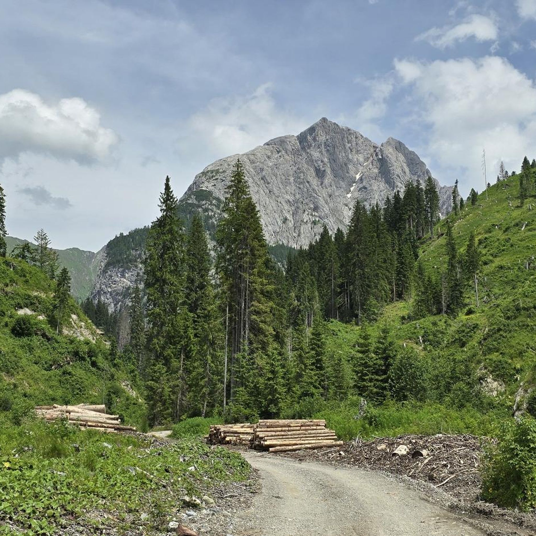
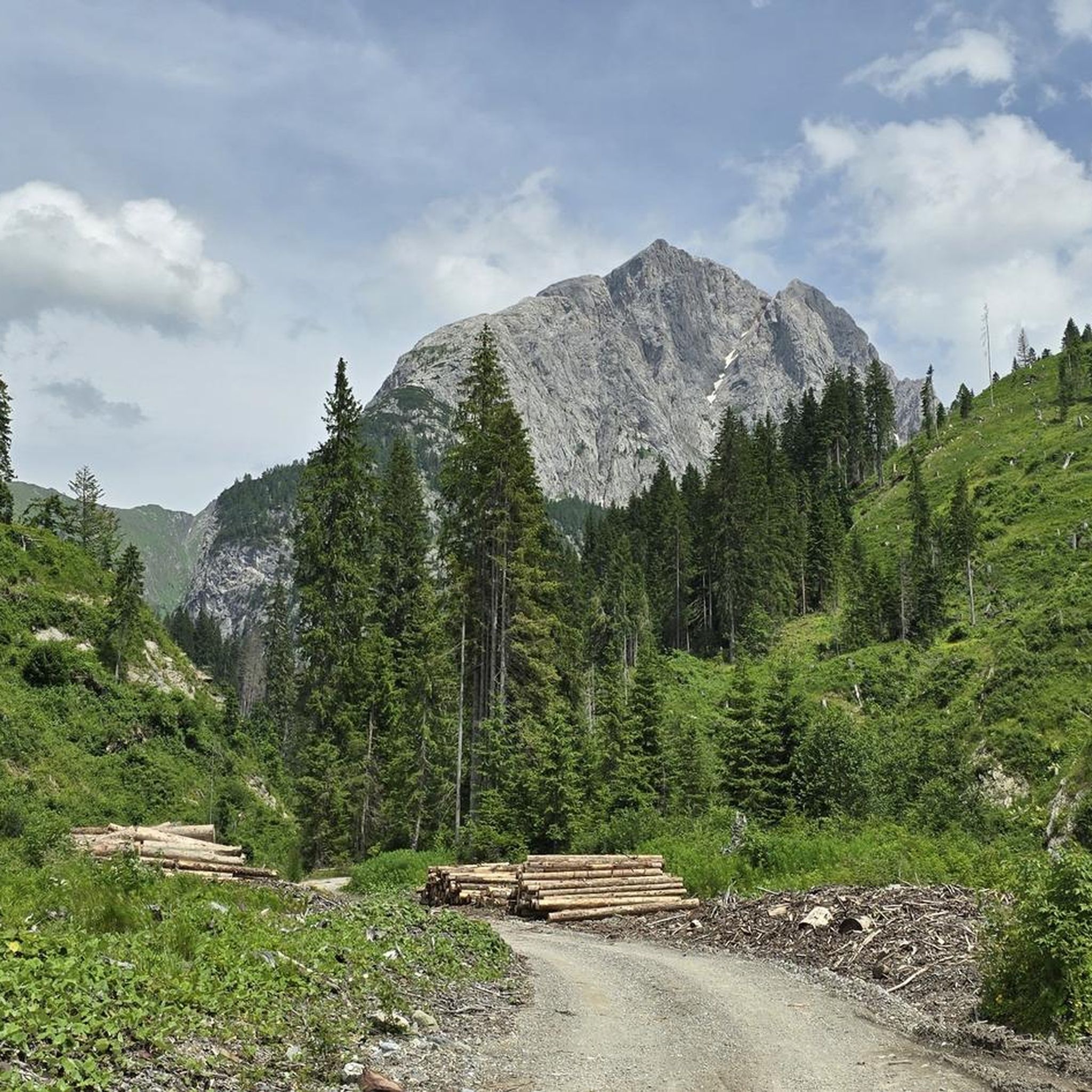
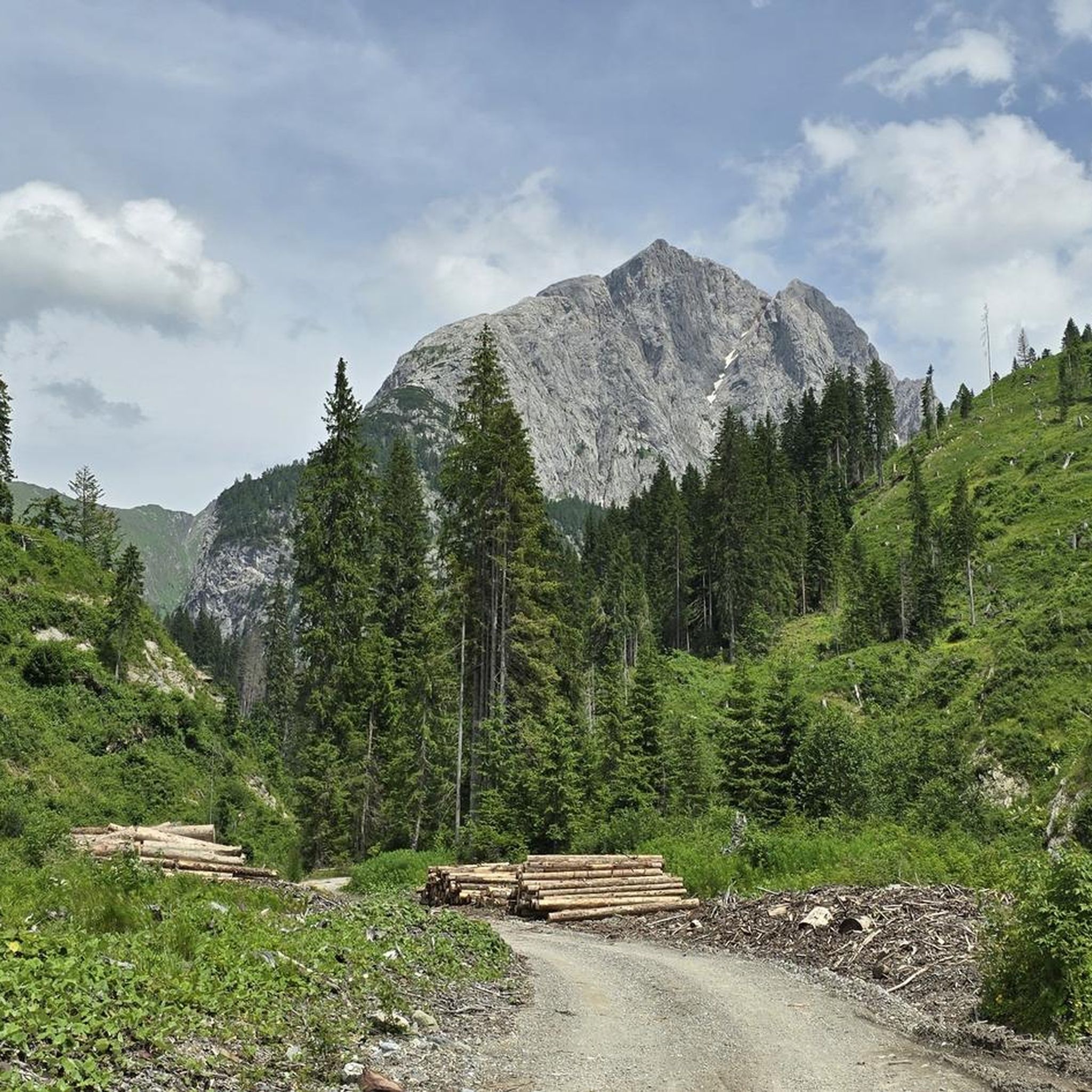

サントステファノディカドーレでのの他の冒険

コミュニティからのヒント

素晴らしいです!急な砂利の下りがあることに注意してください。経験の浅いハイカーには非常にスリリングに感じられるかもしれません。
0
0


The Mule pass is a ridge notch, located at 2,356 meters above sea level, between Mount Righile and Mount Lastroni, representing an important pass between Val Visdende and Sappada. Thanks to its strategic position, it was used as an outpost during the Great War. The pass took on its current name following a curious event that occurred in the summer of 1916: on a day of thick fog, the Austrians, having approached the Italian positions, joined a group of Alpine troops with their mules. Unnoticed, they unhitched the last mule and took it with them across the fork, which has since been called Mule Pass. The terrain is characterized by a steep climb on the north side and routes of varying difficulty on the south side. It's fun to climb up the northern escarpment and then quickly descend south.
2
0
サントステファノディカドーレでのの人気観光スポット

komootモバイルアプリでインスピレーションを得よう


さらに探索
他の地域の最高のハイキングを見てみましょう。
