カラスコのおすすめランニングルート
4.4
(122)
8,137
ランナー
199
ランニング
Jogging around Carasco, located in Italy's Liguria region, offers a diverse landscape for runners. The area is situated within the Val Fontanabuona, characterized by the confluence of the Sturla and Graveglia valleys, providing riverine environments with flatter sections. Surrounding hills and the Ligurian Apennines offer more challenging routes with elevation. This combination ensures a range of running experiences from gentle riverside paths to more demanding ascents.
Best jogging routes around Carasco
- The most popular jogging route is Entella River loop…
最終更新日: 10月 2, 2026
4.7
(7)
291
ランナー
11.4km
01:14
50m
50m
中程度のジョギング. ある程度のフィットネスレベルが必要です。 全般的に舗装された状態です。あらゆるスキルレベルに適しています。
70
ランナー
21.3km
02:16
90m
90m
難しいジョギング. 標準以上のフィットネスレベルが必要です。 全般的に舗装された状態です。あらゆるスキルレベルに適しています。

114
ランナー
20.0km
02:08
100m
100m
難しいジョギング. 標準以上のフィットネスレベルが必要です。 全般的に舗装された状態です。あらゆるスキルレベルに適しています。
33
ランナー
6.20km
00:42
30m
30m
中程度のジョギング. ある程度のフィットネスレベルが必要です。 全般的に舗装された状態です。あらゆるスキルレベルに適しています。
15
ランナー
12.0km
01:59
700m
700m
難しいジョギング. 標準以上のフィットネスレベルが必要です。 安定して歩行できる技術、丈夫な靴、高標高地での登山経験が必要です。
さらに多くのルートや他のユーザーのおすすめ情報を確認できます。
すでにアカウントをお持ちですか?
おすすめのツアーは他のkomootユーザーが実際に経験した何千ものアクティビティに基づいています。
無料アカウントで今日から始めよう
次の冒険が待っています。

コミュニティからのヒント

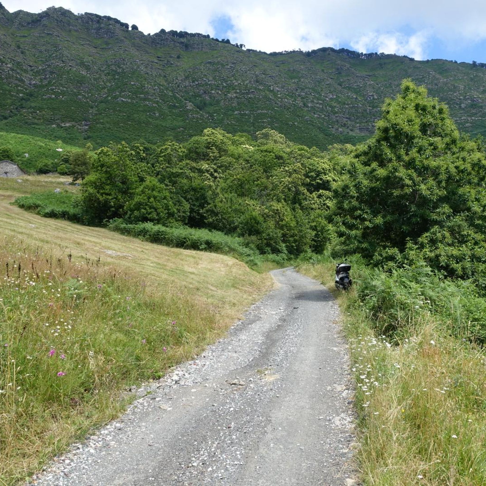
Above the municipality of Cogorno, in the metropolitan city of Genoa, walking on the ridge of Mount Le Rocchette is certainly one of the best experiences that those who walk in these areas can have. In ancient times, slate, a metamorphic rock of sedimentary origin, was extracted in these areas.
1
1


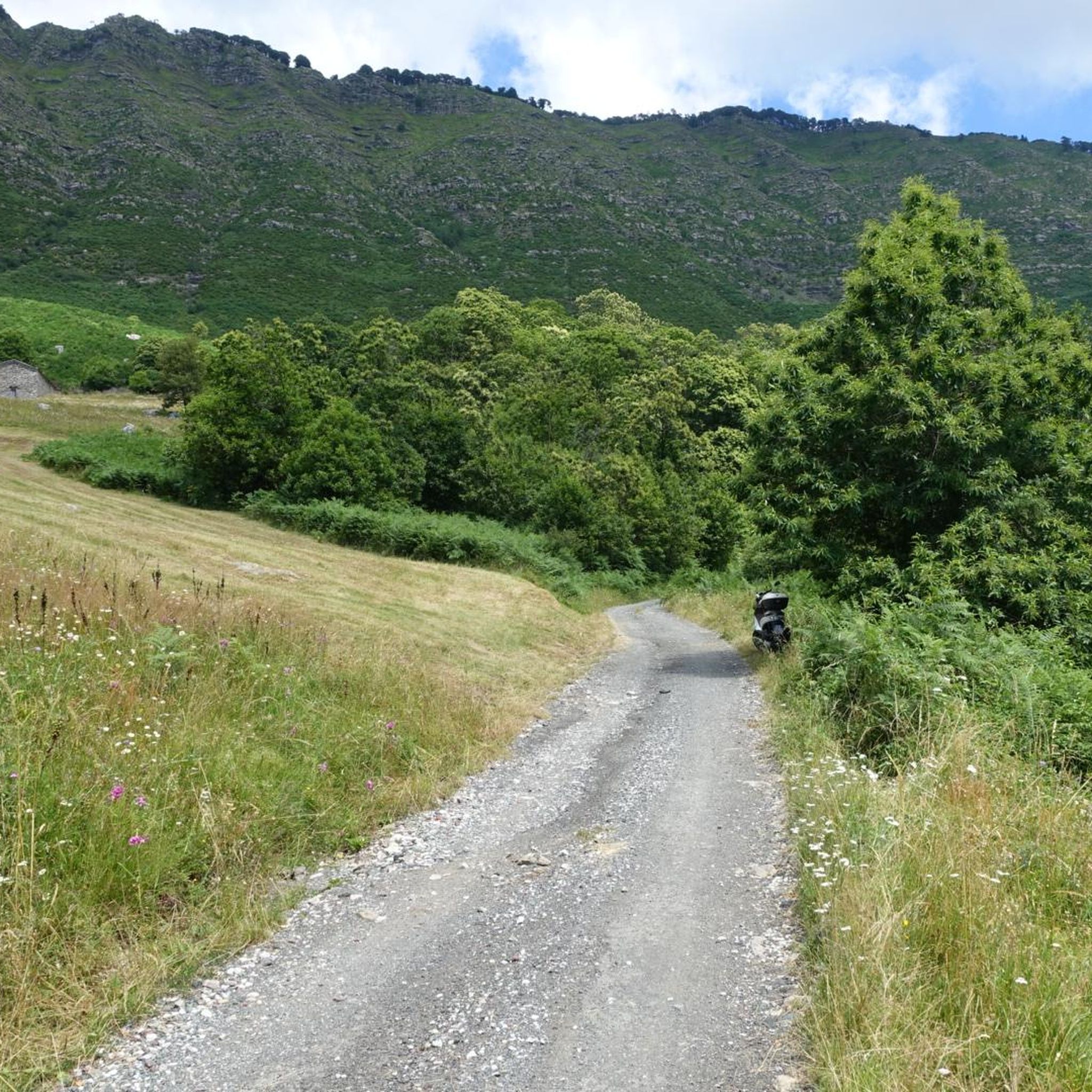
Climbing Monte San Giacomo, despite being only 530 m above sea level and a few km of climb, is never trivial from any of the three sides. One for the other they have slopes of up to 15% and decidedly narrow streets, in particular the one from Via Renda. Furthermore, the one from Tolceto has a decidedly bad surface. The descents are more difficult than the climbs: it is easy to find damp and treacherous curves and cars in narrow passages!
0
0


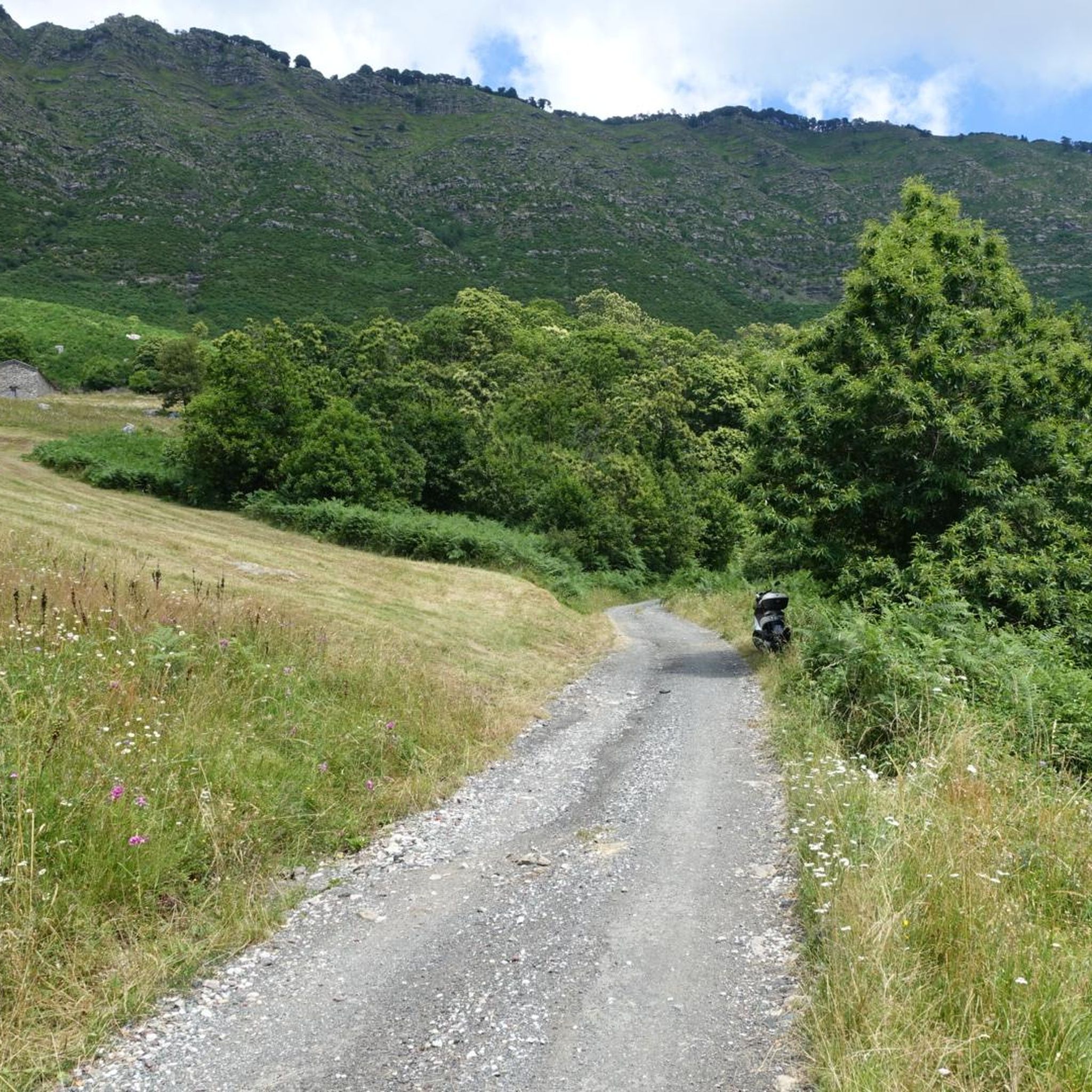
The Entella river is a watercourse that originates from the Sturla, Graveglia and Lavagna streams at the height of Carasco. The river bed divides the municipality of Chiavari from that of Lavagna. Along its banks you can see gulls, geese, ducks, swans, mallards, coots and many other species of sedentary or passing birds. For this reason, since 1988 the Entella River has been a protected Oasis by the Province of Genoa and has become part of the Natura 2000 Network of the European Union.
0
0
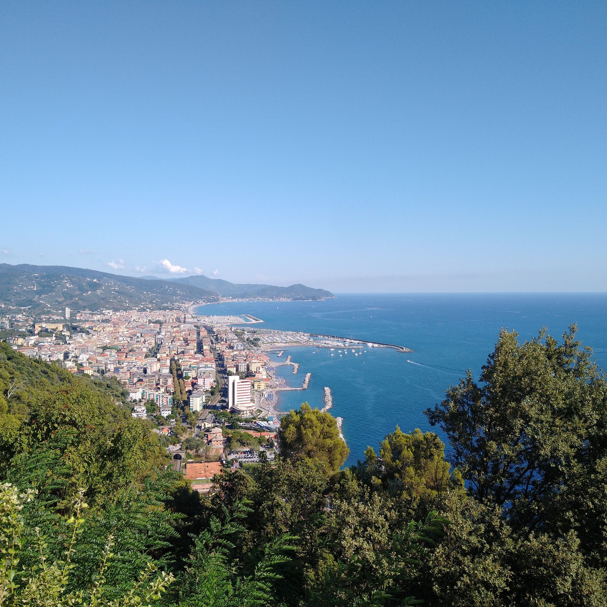
The Chapel of San Giacomo is a Catholic place of worship built on the homonymous mountain at a height of 538 meters above sea level. Here starts the path that leads to the top of Monte Capenardo along which you can enjoy a broad view of the Gulf of Tigullio.
0
0

The fountains on the Chiavari promenade are beautiful especially at sunset. Right nearby there is a nice bar where you can eat or drink something. Photographic Pinto!
0
0

komootモバイルアプリでインスピレーションを得よう


さらに探索
他の地域の最高のランニングトレイル & ルートを見てみましょう。
