シュタイナウアンデアシュトラーセのおすすめウォーキング&ハイキングルート
4.6
(1507)
4,954
ハイカー
350
ハイキング
シュタイナウアンデアシュトラーセ周辺でのハイキングは、景色を満喫するのに最適な手段のひとつですが、適切なハイキングルートを見つけることは簡単ではありません。 シュタイナウアンデアシュトラーセ周辺の人気ハイキング&ウォーキングコースを参考にすれば、行きたいルートをすぐに見つけられます。
最終更新日: 9月 30, 2026
4.7
(150)
398
ハイカー
12.6km
03:37
300m
300m
中程度のハイキング. ある程度のフィットネスレベルが必要です。 進みやすいルートです。あらゆるスキルレベルに適しています。
4.5
(58)
155
ハイカー
7.64km
02:09
160m
160m
中程度のハイキング. ある程度のフィットネスレベルが必要です。 進みやすいルートです。あらゆるスキルレベルに適しています。

4.6
(495)
1,511
ハイカー
7.78km
02:01
40m
40m
中程度のハイキング. ある程度のフィットネスレベルが必要です。 進みやすいルートです。あらゆるスキルレベルに適しています。
4.5
(53)
153
ハイカー
8.99km
02:29
160m
160m
中程度のハイキング. ある程度のフィットネスレベルが必要です。 進みやすいルートです。あらゆるスキルレベルに適しています。
4.4
(16)
69
ハイカー
13.0km
03:38
250m
250m
中程度のハイキング. ある程度のフィットネスレベルが必要です。 進みやすいルートです。あらゆるスキルレベルに適しています。
さらに多くのルートや他のユーザーのおすすめ情報を確認できます。
すでにアカウントをお持ちですか?
おすすめのツアーは他のkomootユーザーが実際に経験した何千ものアクティビティに基づいています。
無料アカウントで今日から始めよう
次の冒険が待っています。
シュタイナウアンデアシュトラーセ周辺で人気
Relaxed hiking in the Spessart – short trails of discovery
Pleasure hiking in the Spessart: trails that taste as good as they look

Onto the train, out into the snow – winter hiking for all ages in the Rhine-Main
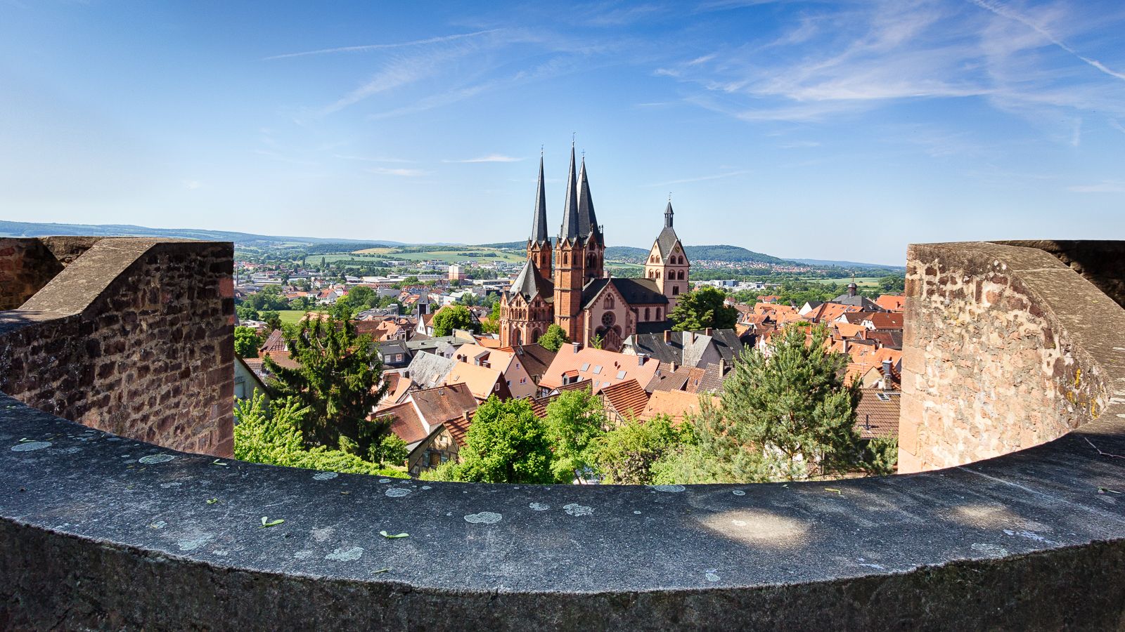
On the Way of St. James through Hesse – from the Fulda to the Main
Culture, nature and good food in Hessen – gourmet Tours in the RMV region
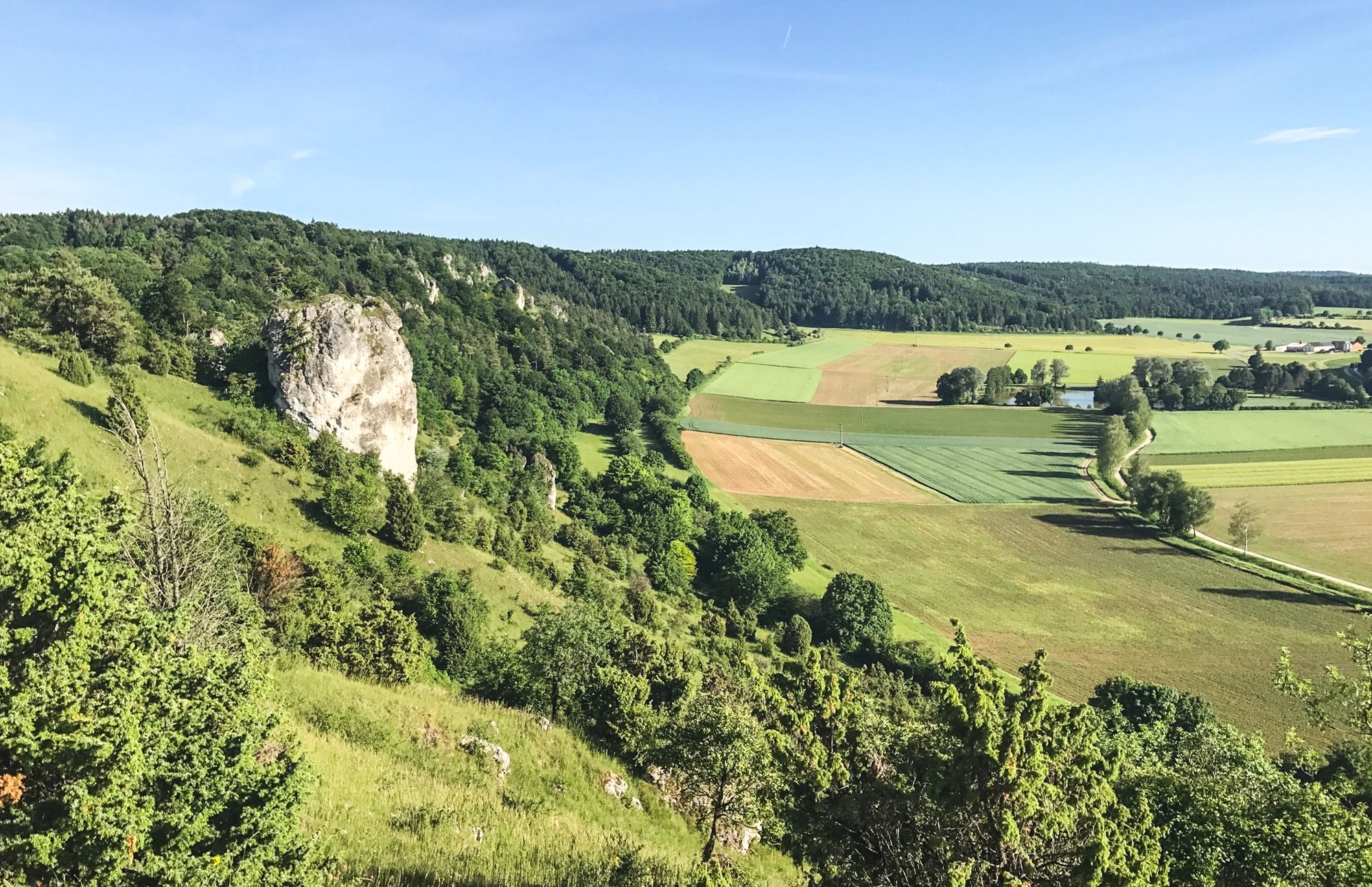
Between Altmühltal & Spruce Mountains – hiking in Franconia
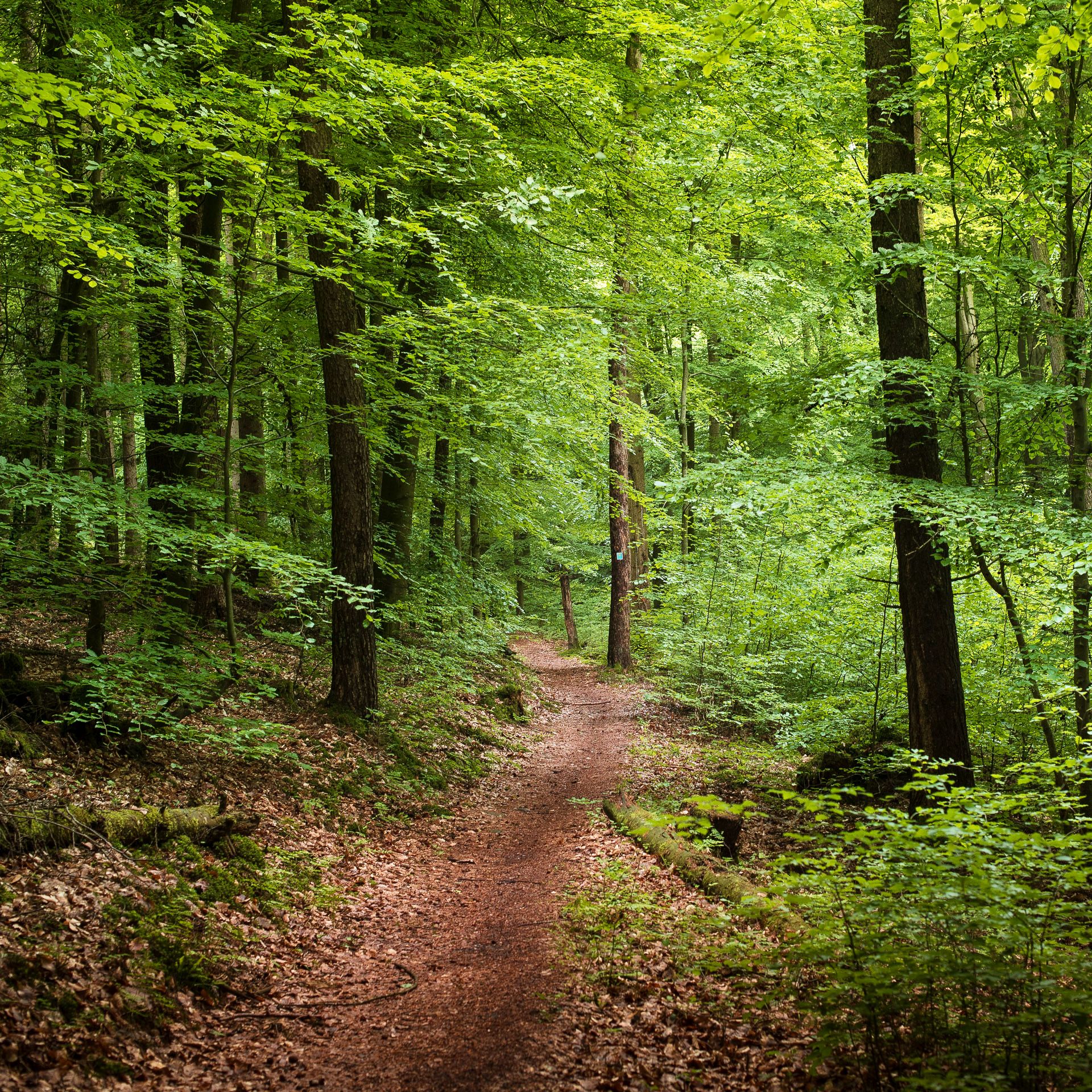
Endless forests, flowing trails – MTB in Germany’s Spessart region
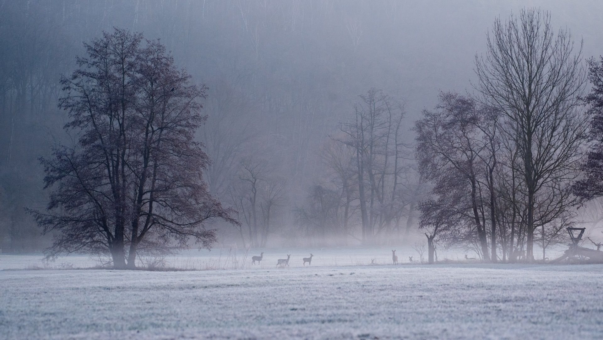
Die schönsten Winterwanderungen im Spessart
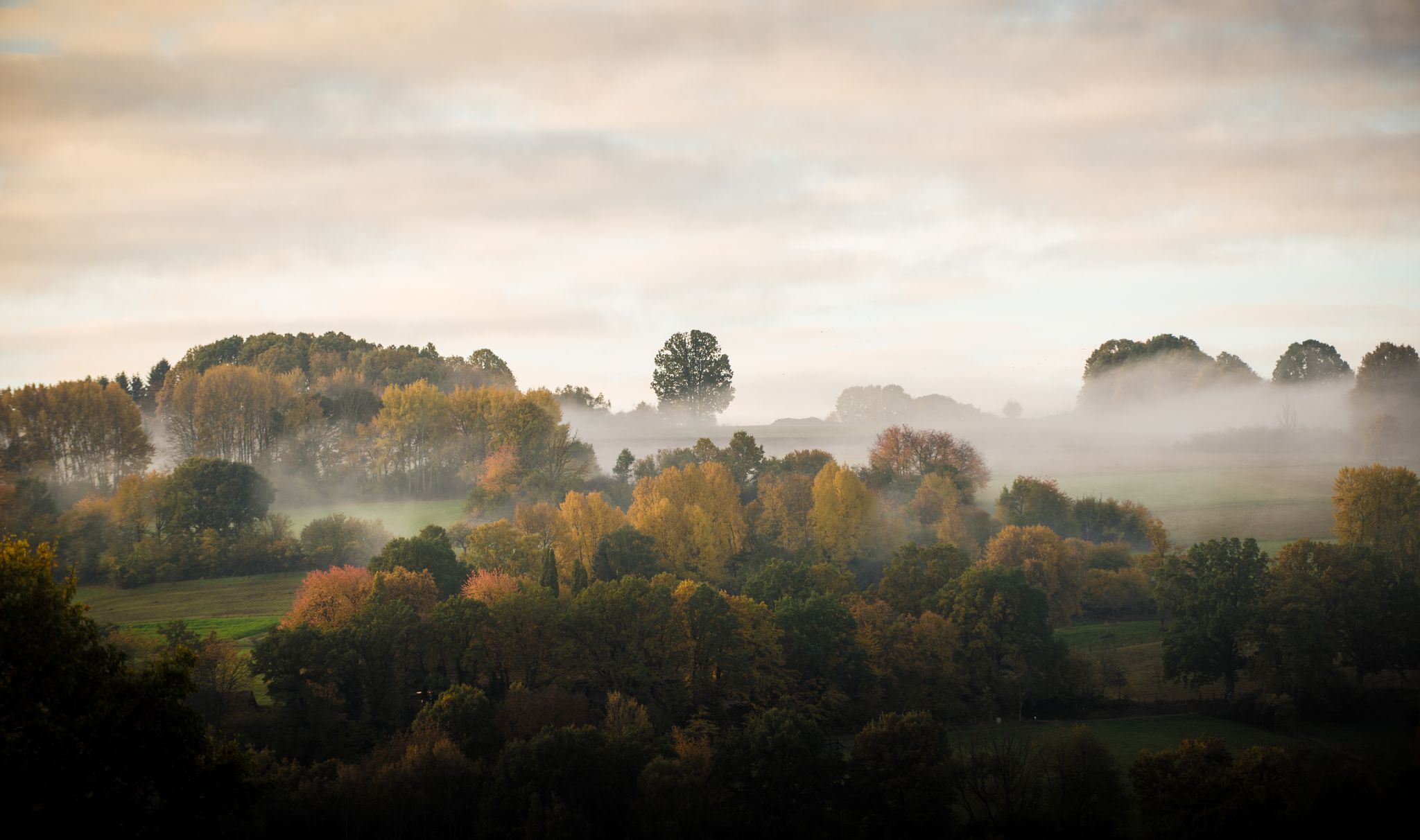
Die schönsten Herbstwanderungen im Spessart
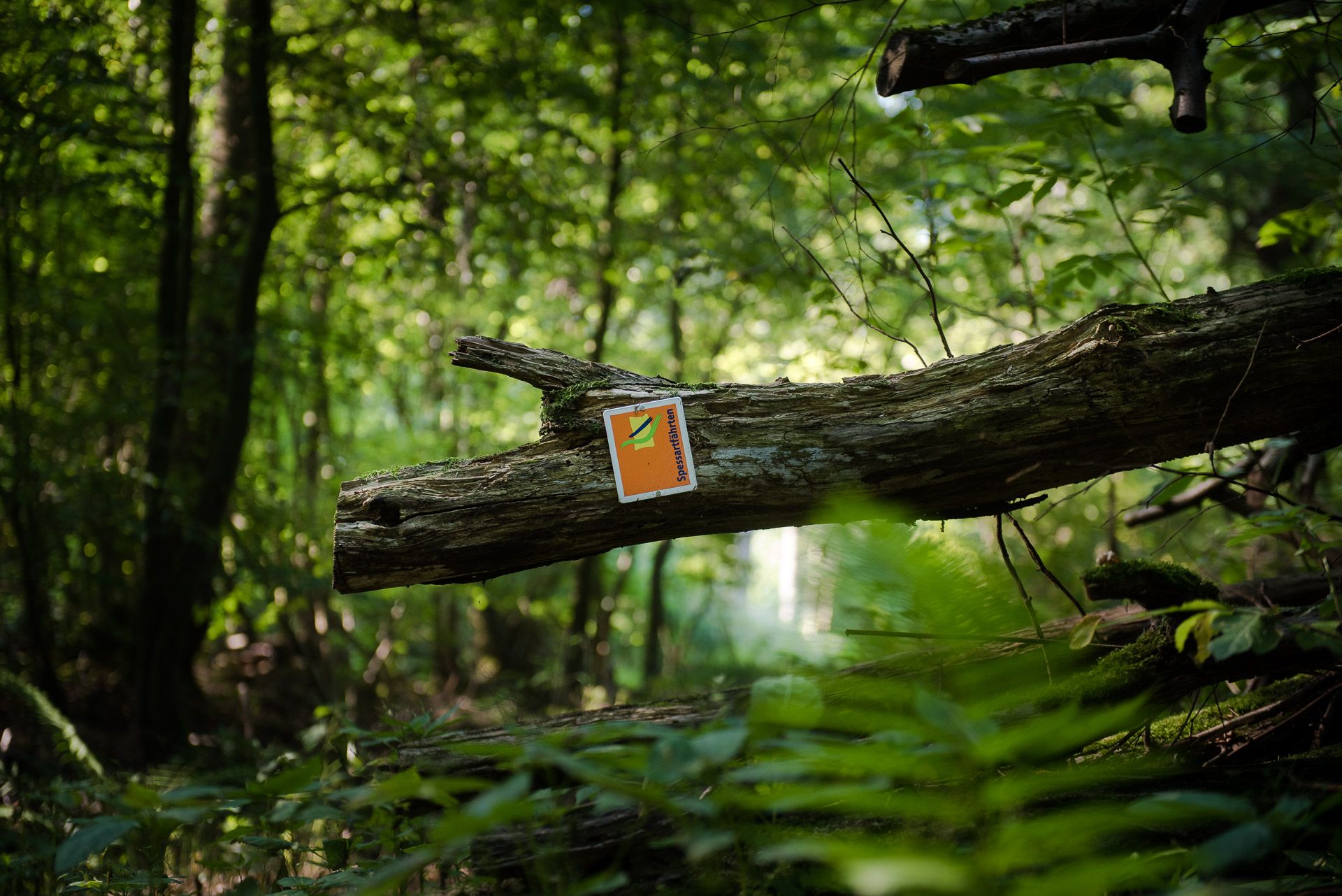
Die Spessartfährten: Sanfte Tageswanderungen durch den hessischen Spessart
シュタイナウアンデアシュトラーセでのの他の冒険


コミュニティからのヒント

残念ながら現在閉鎖されています。 そのため、ここからツアーを再計画し、本来のルートに戻るために交通量の多い州道を通って町を通過しなければなりませんでした。
1
0

ここでリラックスして休憩できます。
1
0

Rathausplatzと素晴らしい噴水、そしてシュタイナウ城への入り口は、ただただ愛らしく美しいです。そしてここには美味しいアイスクリームもあります。
0
0
The sheep bridge, hidden in the woods, was once used to drive sheep from one mountain across the stream to the other. 🐑🏞️ #SheepBridge #Forest #History #Sheep #Mountain #Stream
0
0
Hell isn't open all the time, unfortunately 😔, only at certain times, which you have to check online 💻. #Hell #OpeningHours #Internet
0
0

The food here is prepared with great care, and it shows. A sweet little café full of charm and heart.
1
0

The Kinzig is a river approximately 86 kilometers long. It rises in Sterbfritz, flows southwest through the Main-Kinzig district of Hesse, and flows into the Main from the right in Hanau. The Kinzig is a second-order river in low mountain ranges. It overcomes an elevation of 301 meters and has a bed gradient of 3.5 per thousand. The Kinzig's catchment area covers 1,058 square kilometers, and the calculated mean discharge (MQ) at the mouth of the Kinzig is 10.97 cubic meters per second. The Kinzig was first documented in 796 as "iuxta fluvium Kincihen." In 815, the name was written as "Chinzicha," around 900 as "Kincicha"/"Kinzicham," in 1364 as "Kinzige," in 1584 as "Kintzig," in 1607 as "Bintz," in 1681 as "Kintz," in 1716 as "Kins," in 1769 as "Kinzing," and in 1802 as "Kinzig." In the river's headwaters, there was the now-defunct village of Kinzig, mentioned in 815 as "Chirizichheimero." The village and river were often confused by monastery scribes at that time with "Chizzicha" (now Bad Kissingen), both of which were described as being located in the Saalegau. The name presumably derives from the ancient Celtic *ku̯anti̯o- meaning "flat hill, valley." The name was therefore derived from the mountainous region from which the Kinzig flows. Source: Wikipedia
1
0

Beautiful old town hall with fountain square in front
0
0
シュタイナウアンデアシュトラーセでのの人気観光スポット

komootモバイルアプリでインスピレーションを得よう


さらに探索
他の地域の最高のハイキングを見てみましょう。
