ルート

プランナー

機能

アップデート

App

ログインまたはサインアップ

アプリを入手

ログインまたはサインアップ

ルート
サイクリングルート
イタリア
南チロル

ラチーネス-ラチーネス

ラチーネス-ラチーネスのおすすめツーリングルート

4.7

(184)

3,767

ライダー

59

ライド

ラチーネス-ラチーネス周辺でのおすすめのサイクリングルートを参考にして、このエリアを最大限に楽しみましょう。ここでご紹介するのは、ラチーネス-ラチーネス周辺の人気バイクライドです。ぜひ、自分に合ったルートを見つけてください。

最終更新日: 7月 8, 2026

4.6

(5)

695

ライダー

#1.

Jaufenpass - Passo di Monte Giovoから出発する ヨーフェン峠の眺め – ヨーフェン峠の眺め ループコース

50.7km

04:25

1,880m

1,880m

難しい自転車ライド. 標準以上のフィットネスレベルが必要です。 全般的に舗装された状態です。あらゆるスキルレベルに適しています。

デバイスでナビ

スマートフォンに送信

保存

難しい

難しい自転車ライド. 標準以上のフィットネスレベルが必要です。 ツアーの一部で自転車を押して歩く必要があるかもしれません。

難しい
guide_signup
私たちがkomootモバイルアプリで道を示します
無料の komoot アカウントがあれば、無限のアウトドアコースを簡単に見つけてカスタマイズし、ナビで案内できます。

無料新規登録

難しい自転車ライド. 標準以上のフィットネスレベルが必要です。 全般的に舗装された状態です。あらゆるスキルレベルに適しています。

難しい

難しい自転車ライド. 標準以上のフィットネスレベルが必要です。 全般的に舗装された状態です。あらゆるスキルレベルに適しています。

難しい

難しい自転車ライド. 標準以上のフィットネスレベルが必要です。 全般的に舗装された状態です。あらゆるスキルレベルに適しています。

難しい
無料新規登録すると、ラチーネス-ラチーネスでのでのライドをさらに55件ご覧いただけます。

さらに多くのルートや他のユーザーのおすすめ情報を確認できます。

無料新規登録

すでにアカウントをお持ちですか?

おすすめのツアーは他のkomootユーザーが実際に経験した何千ものアクティビティに基づいています。

無料アカウントで今日から始めよう

次の冒険が待っています。
ログインまたは登録

ラチーネス-ラチーネス周辺で人気

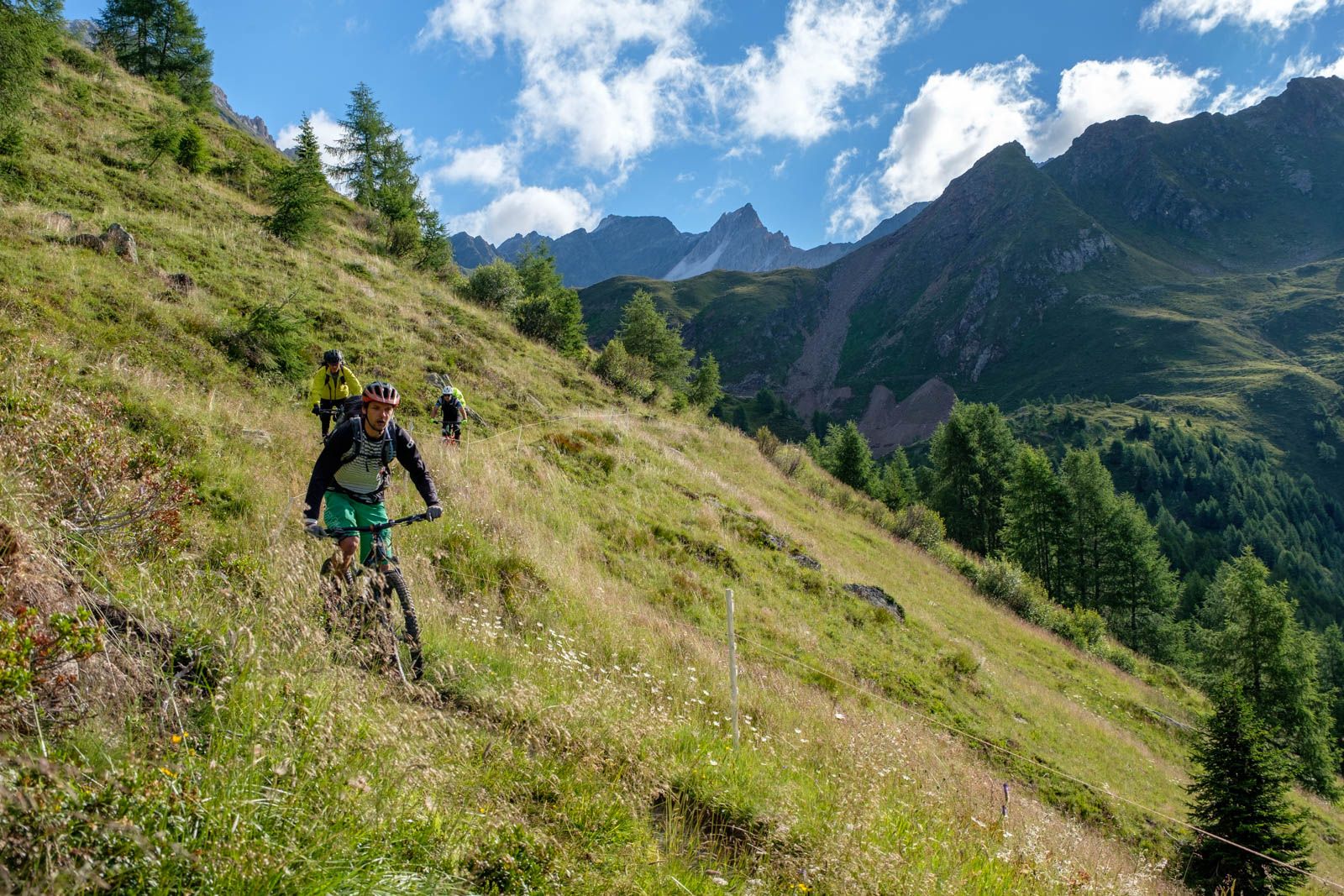
オフロードで南タイロルを通る - オーストリアとイタリアの間のバイクパッキング

Ötzi Transalp - StubaiおよびÖtztalアルプスのバイクパッキング

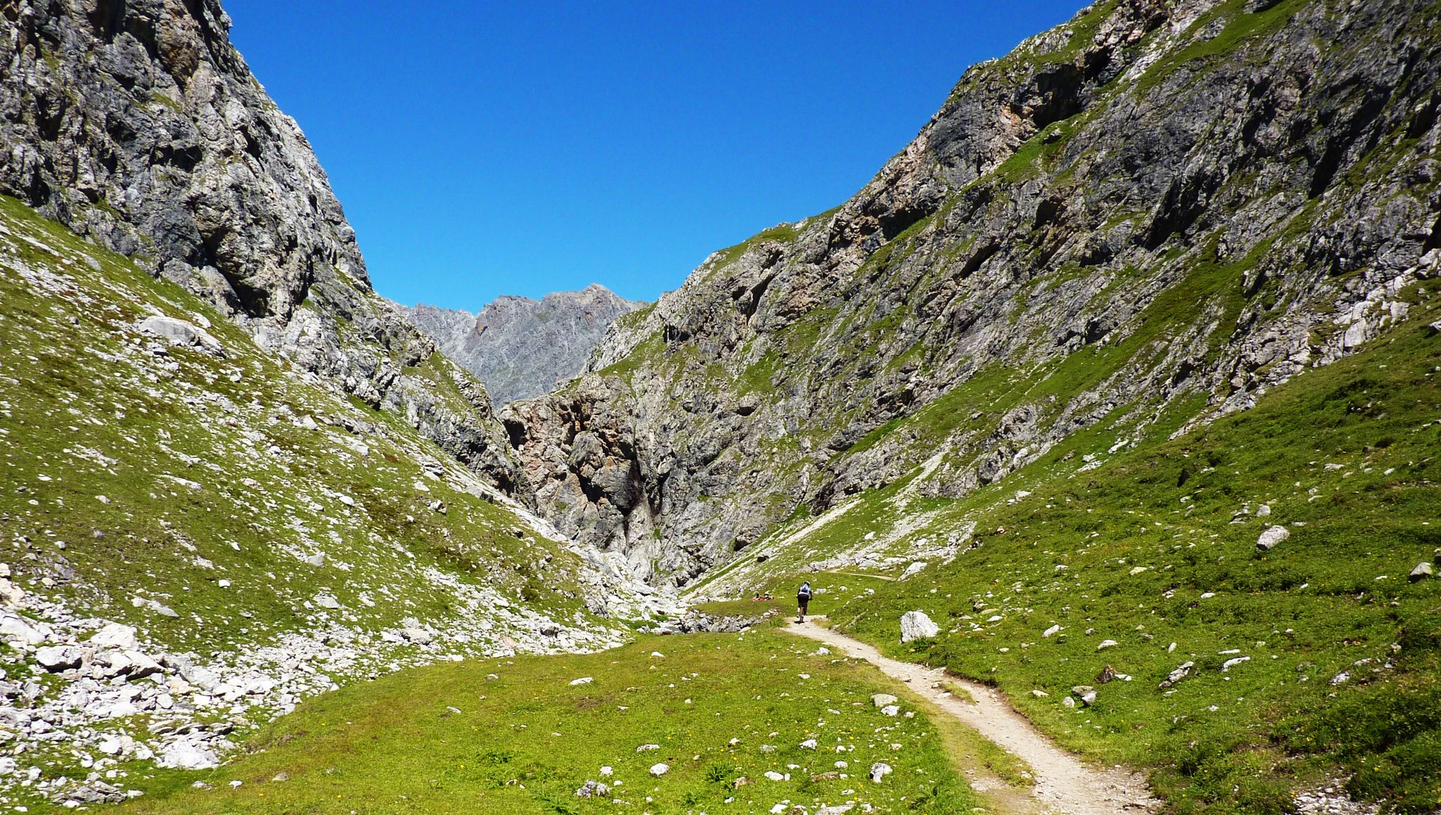
Alpine passes — 10 classics for you and your bike

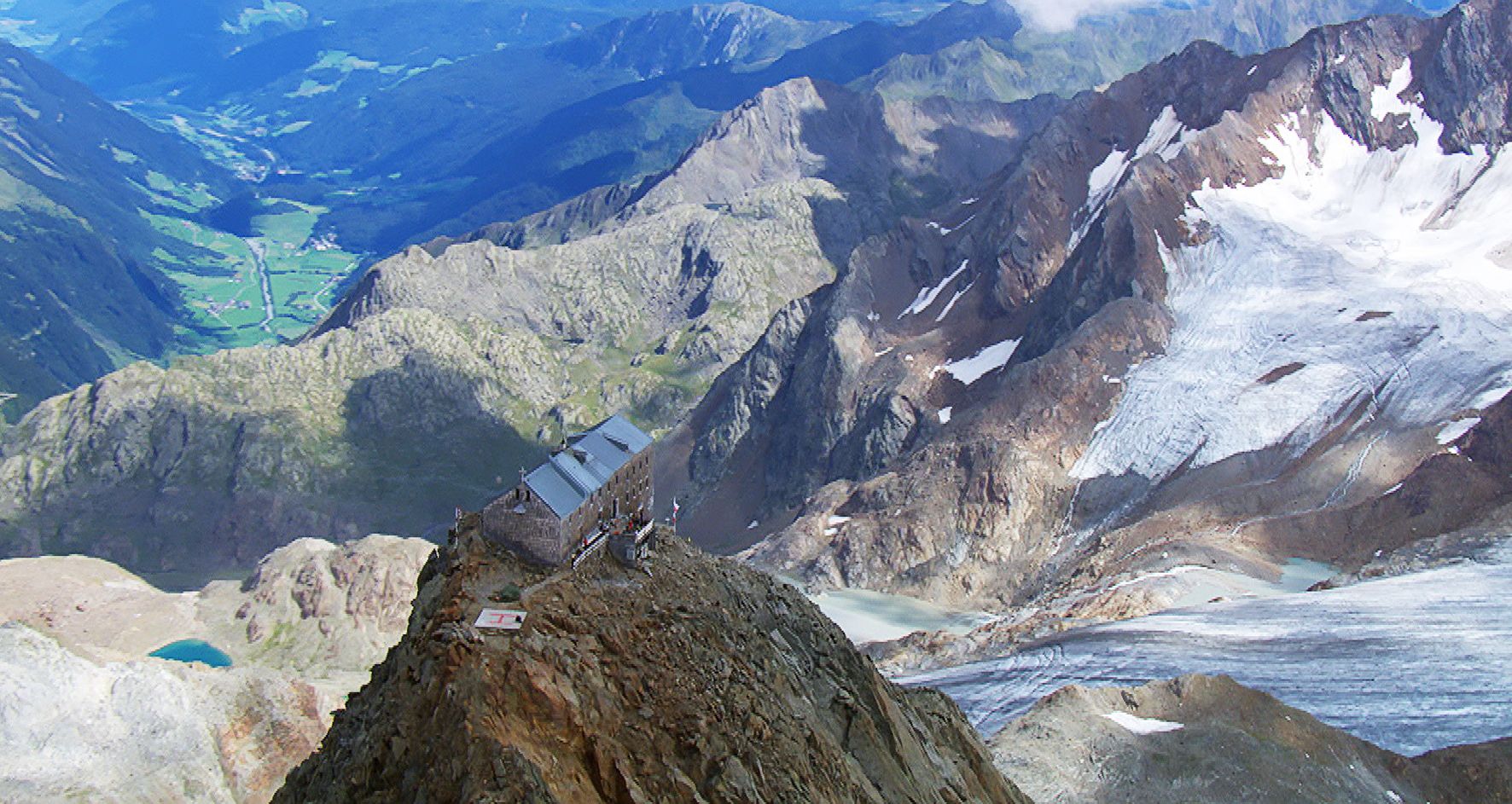
3000メートル以上で眠る

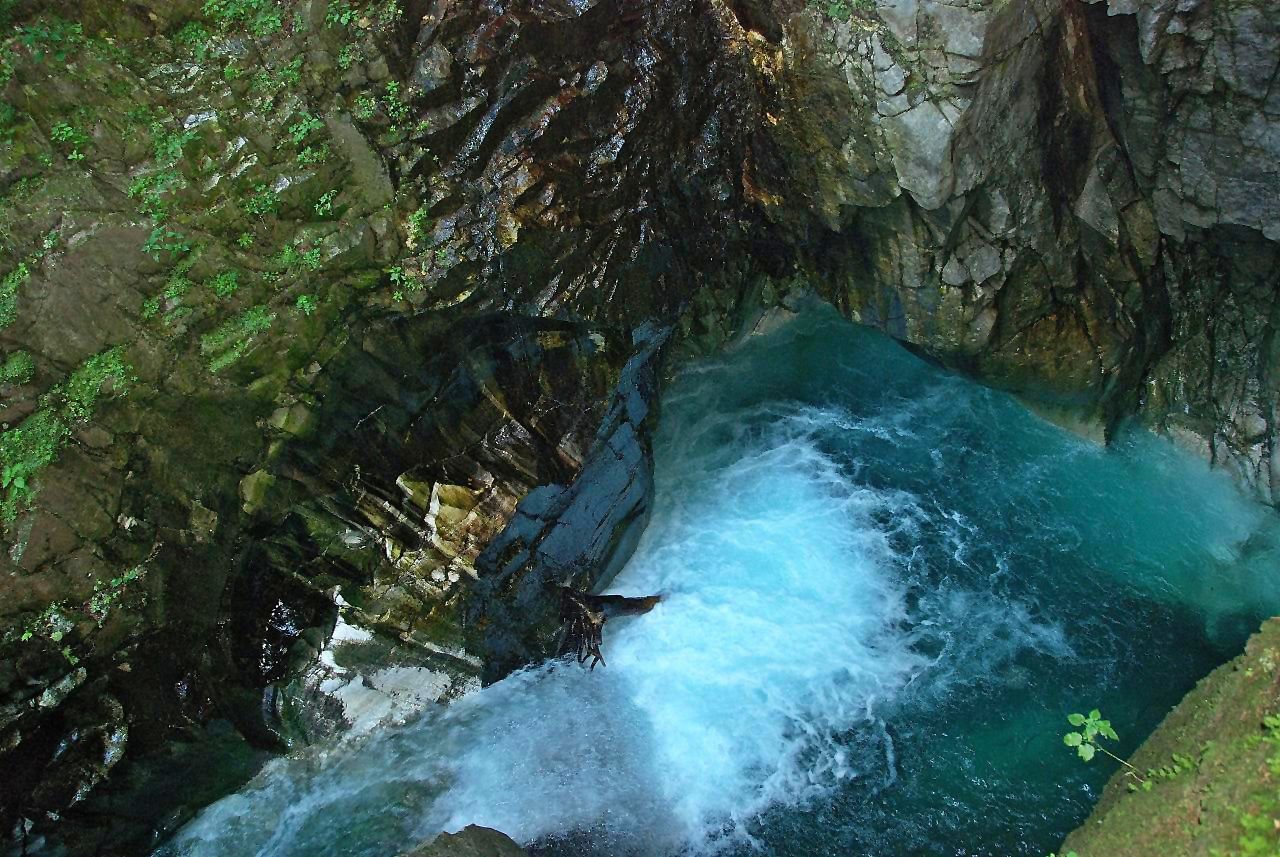
Die schönsten Klammen Tirols

ラチーネス-ラチーネスでのハイキング

ラチーネス-ラチーネスのMTBトレイル

ラチーネス-ラチーネスのランニングコース

ラチーネス-ラチーネスのロードバイクルート

ラチーネス-ラチーネスでの登山&山歩き

ラチーネス-ラチーネスでのの他の冒険

オフロードで南タイロルを通る - オーストリアとイタリアの間のバイクパッキング

サイクリングのコレクション によって

CyrilC

コミュニティからのヒント

Peter Kurz 🥾🏃
3月 23, 2026, Zwölferturm

街の中心にある美しい塔 / 少なくとも一時的に見学可能。

Google翻訳による翻訳

0

0

The Twelve Tower was built between 1468 and 1472 above the town's main entrance and served as the upper town gate, at a time when the nearby silver mine in Ridnaun brought prosperity to the region and Sterzing experienced its rise as a Fugger town. Two marble plaques above the archway still commemorate the laying of the foundation stone by Duke Sigismund of Austria in 1469. In 1867, the Gothic spire burned down and was subsequently replaced by the current stone stepped gable.

Google翻訳による翻訳

5

0

From here you have a beautiful view of the Ridnaun Valley.

Google翻訳による翻訳

2

0

Opening hours, admission prices and further information about the Mining Museum can be found here: https://www.bergbaumuseum.it/de/ridnaun/preise-oeffnungszeiten-1009.html#content

Google翻訳による翻訳

2

0

Very nice cycle path with a great panorama of the mountains.

Google翻訳による翻訳

0

1

Profile of what was once the world's largest surface ore conveyor system on rails on the Schneeberg. The system was built in the 1870s by the Imperial and Royal Mining Administration and served to transport silver, lead, and zinc ore from the mines on the Schneeberg to the train station in Sterzing. The total length was 27.249 km, with an elevation difference of approximately 1,900 m to overcome. This required the construction of two "water barrel elevators" and six "brake hills" on which the ore was pulled up over the steepest slopes and braked down. Transport only worked with a counterweight, with the elevators using water barrels, while the brake hills were used to load counter-cargo, primarily food or other consumables needed on the Schneeberg. "Flat roller tracks" led from one brake hill to the next. These are almost level tracks on which horses pulled the ore wagons. Massive ore boxes were built at ingenious locations along the line for temporary storage of the ore. This meant that only parts of the entire transport system could be operated, depending on the season. The abandoned system today represents a unique monument and is still clearly visible from Seemoos to Mareit. Before the construction of the described system, ore was transported for centuries by pack animals and wagons, later by cable cars and trucks. The entire surface conveyor system was constructed in impressive dry-stone masonry and was in operation until around 1925. Only the Seemoos water barrel elevator remained in operation until 1967.

Google翻訳による翻訳

0

0

Profile of what was once the world's largest surface ore conveyor system on rails on the Schneeberg. The system was built in the 1870s by the Imperial and Royal Mining Administration and served to transport silver, lead, and zinc ore from the mines on the Schneeberg to the train station in Sterzing. The total length was 27.249 km, with an elevation difference of approximately 1,900 m to overcome. This required the construction of two "water barrel elevators" and six "brake hills" on which the ore was pulled up over the steepest slopes and braked down. Transport only worked with a counterweight, with the elevators using water barrels, while the brake hills were used to load counter-cargo, primarily food or other consumables needed on the Schneeberg. "Flat roller tracks" led from one brake hill to the next. These are almost level tracks on which horses pulled the ore wagons. Massive ore boxes were built at ingenious locations along the line for temporary storage of the ore. This meant that only parts of the entire transport system could be operated, depending on the season. The abandoned system today represents a unique monument and is still clearly visible from Seemoos to Mareit. Before the construction of the described system, ore was transported for centuries by pack animals and wagons, later by cable cars and trucks. The entire surface conveyor system was constructed in impressive dry-stone masonry and was in operation until around 1925. Only the Seemoos water barrel elevator remained in operation until 1967.

Google翻訳による翻訳

0

0

The Moarerbergalm, at 2,113 meters, is one of the largest alpine farms in Vipiteno-Ratschings. The alpine pasture produces grey cheese and butter, as well as various other dairy products such as yogurt, cream cheese, and buttermilk. The pasture was named "South Tyrol's Most Popular Alpine Hut" in 2021.

Google翻訳による翻訳

0

0

ラチーネス-ラチーネスでのの人気ルート

ラチーネス-ラチーネスでのハイキング

ラチーネス-ラチーネスでのの人気観光スポット

Places to see

Store rating

komootモバイルアプリでインスピレーションを得よう

無料のkomootアカウントがあれば、無限のアウトドアコースを簡単に見つけてカスタマイズし、ナビで案内できます。

または

今すぐkomootに参加しよう

Store rating

さらに探索

他の地域の最高のサイクリングルートを見てみましょう。

ボーゼンTexelgruppeメラン-メラーノノイマルクト-エグナドッビアーコ-ドッビアーコブリクセン-ブレッサノーネKalternAnDerWeinstraße-CaldaroSullaStrada Del Vinoナトゥルンス-ナトゥルノグロレンツァ-グロレンツァドッビアーコ湖-ドッビアーコ湖Innichen-サンカンディドEppanAnDerWeinstraße-AppianoSullaStrada Del Vinoブルニコ-ブルニコBiotop Kalterer See - Biotopo Lago Di Caldaroカルターロ湖-カルダーロ湖Ciastel-カステルロット-Castelrottoクローン・ヴェノスタTraminAnDerWeinstraße-TermenoSullaStrada Del Vinoセルヴァ-ウォルケンシュタイン-セルヴァディヴァルガーデナブラーイエス-ブレイセントマーチンインパッセイアー-サンマルティーノインパッシリアラーチェス-レースNaturparkPuez-Gaisler-パルコナチュラーレプエツ-Odleテルラーノ-テルラーノマルス-マレスベノスタプエツガイスラー自然公園モンターニャ-モンターニャPfitsch-Val Di Vizzeバディア-アブテイマーリング-マーレンゴヴァルダーオラ-ヴァルダーオラプラウスミュルバッハ-リオディプステリーラナニーダードルフ-ビジャバッサセントレオンハルトインパッセイエ-サンレオナルドインパッシリアブロンツォーロ-ブランゾルParco naturale dello Sciliar-Catinaccioラグンド-ラグンドセスト-セストオーラ-オラFanes-Sennes-Prags Nature Parkズルデルノ-Sludernoポスタル-郵便スリーピークス自然公園レジア湖-レジア湖シェーナ-シーンParco naturale Vedrette diRies-オーリナブレンネロ-ブレネロカンポ・トゥーレス-カンポ・トゥーレスサンロレンツォ-サンロレンツォディセバトランドロ湖-ランドロ湖Naturpark Fanes-Sennes-Prags-Parco Naturale Fanes-Sennes-BraiesVölsAmSchlern-FiéAlloSciliarテクセルグルッペ自然公園Naturpark Texelgruppe-Parco naturale Gruppo di Tessaリフィアーノ-リフィアーノロデンゴ-ロデンゴバディアのコルヴァーラ-コルヴァーラアンドリアーノ-アンドリアーノナツ・シャーヴェス-ナツ・シャーヴェスヴァーデナ-Pfattenパルチーネス-Parcinesマレッベ-エネベルク-マレッベKurtinigAnDerWeinstraße-CortinaSullaStrada Del Vinoオレンジャー湖-ヴァルダーオラ湖カイネス-ケインズサロルノ-サロルノチェルメス-セルメスステルヴィオ-ステルヴィオWelsberg-Taisten-Monguelfo-Tesidoライヴェス-ライファーRasen-Antholz-Rasun-Anterselvaノーヴァポネン-ノヴァポネンテサンパンクラーツィオ-サンパンクラーツィオサンパンクラーツィウルティモ-ウルティモBosch De ResciesaMontiggler Wald-Bosco di Monticoloアヴェレンゴ-アヴェレンゴトルドナーホーン自然公園GroßerMontigglerLake-モンティコロ湖Prad Am Stilfser Joch-Prato Allo StelvioAnterivo-AltreiKurtatschAnDerWeinstraße-CortacciaSullaStrada Del VinoUnsere Liebe Frau ImWalde-St。フェリックス-セナーレ-サンフェリーチェシランドロ-SilandroSchnals-セナーレスUrtijëi-GrödenのSt.Ulrich-OrtiseiGaisAhrntal-Valle AurinaBiotop Seikofel-Nemes - Biotopo Monte Covolo-Nemesバルビアーノ-バルビアーノリッテン-レノンラーザ-ラーザペルカ-ペルカSantaCristinaGherdëina-GrödenのSt.Christina-Santa Cristina Valgardenaポンテガルデ-ポンテガルデナトローデナイムナチュアパーク-トロデナネルパルコナチュラーレフォルテッツァ湖-フォルテッツァ湖メルティナ-メルティナテレント-テレントProveis-証明ヴェラーノ-ベラノハイダーゼー-ムタ湖Lajen-LaionMagrèSullaStradaDelVinoヴァンドー-ヴァンドーイエスキエーネス-キエーネスKastelbell-Tschars-Castelbello-Ciardesフォルテッツァ-フォルテッツァビピテノ-ビピテノイェーネジーン-SanGenesio Atesinoナッレス-ナレスKarneid-Cornedo All'IsarcoLüsen-LusonTisens-テシモGsies-Valle Di Casiesサレンティーノ-サレンティーノVillnöß-Funesファルツェス-ファルツェスキューザ-キウサフライエンフェルト-カンポディトレンスヴィッランドロ-ヴィッランドロガルガッツォーネ-ガルガッツォーネヴァルナ-ヴァルナウェルシュノフェン-ノヴァレヴァンテアルディーノ-アルディーノTaufersImMünstertal-Tubreヴェルトゥルノ-Velturnoサンマルティーノデトル-バディアのサンマルティーノ-サーンのセントマーチンチロル-ティロロミュールヴァルト-SelvaDei Moliniラウレーニョ-ラウレーニョプレドーイ-プレドーイZoggler-Stausee-ゾッコロ湖人工湖ラヴァッレ-ウェンゲン-ラヴァッレNaturpark Rieserferner-Ahrn - Parco Naturale Vedrette Di Ries-Aurinaグリューンゼー-ヴェルデ湖ネヴェス湖-ネヴェス湖ティア-タイヤモーゾ・イン・パッセイアー-モーゾ・イン・パッシリアDurnholzer Lake-Lake di Valdurnaマルテル-マルテッロPankrazer Stausee-Lake di AlboreloWeißbrunnsee-フォンタナビアンカ湖Zufritt-Stausee-Lake di Gioverettoヴェルナゴ湖-ヴェルナークト湖

近くのアドベンチャーガイド

セントレオンハルトインパッセイエ-サンレオナルドインパッシリアでやるべきこと

background

新しいピークを征服する準備をしよう

無料でサインアップ

探検する
ルートルートプランナー機能ハイキングMTBトレイルロードバイクルートバイクパッキングサイトマップ
アプリをダウンロード
SNSでフォローする

© komoot GmbH

プライバシーポリシー