ルート

プランナー

機能

アップデート

App

ログインまたはサインアップ

アプリを入手

ログインまたはサインアップ

ルート
ハイキング
ドイツ
ノルトラインヴェストファーレン州
ルール地方
Ennepe-Ruhr-Kreis

ウィッテン

ウィッテンのおすすめウォーキング&ハイキングルート

4.5

(7660)

26,196

ハイカー

455

ハイキング

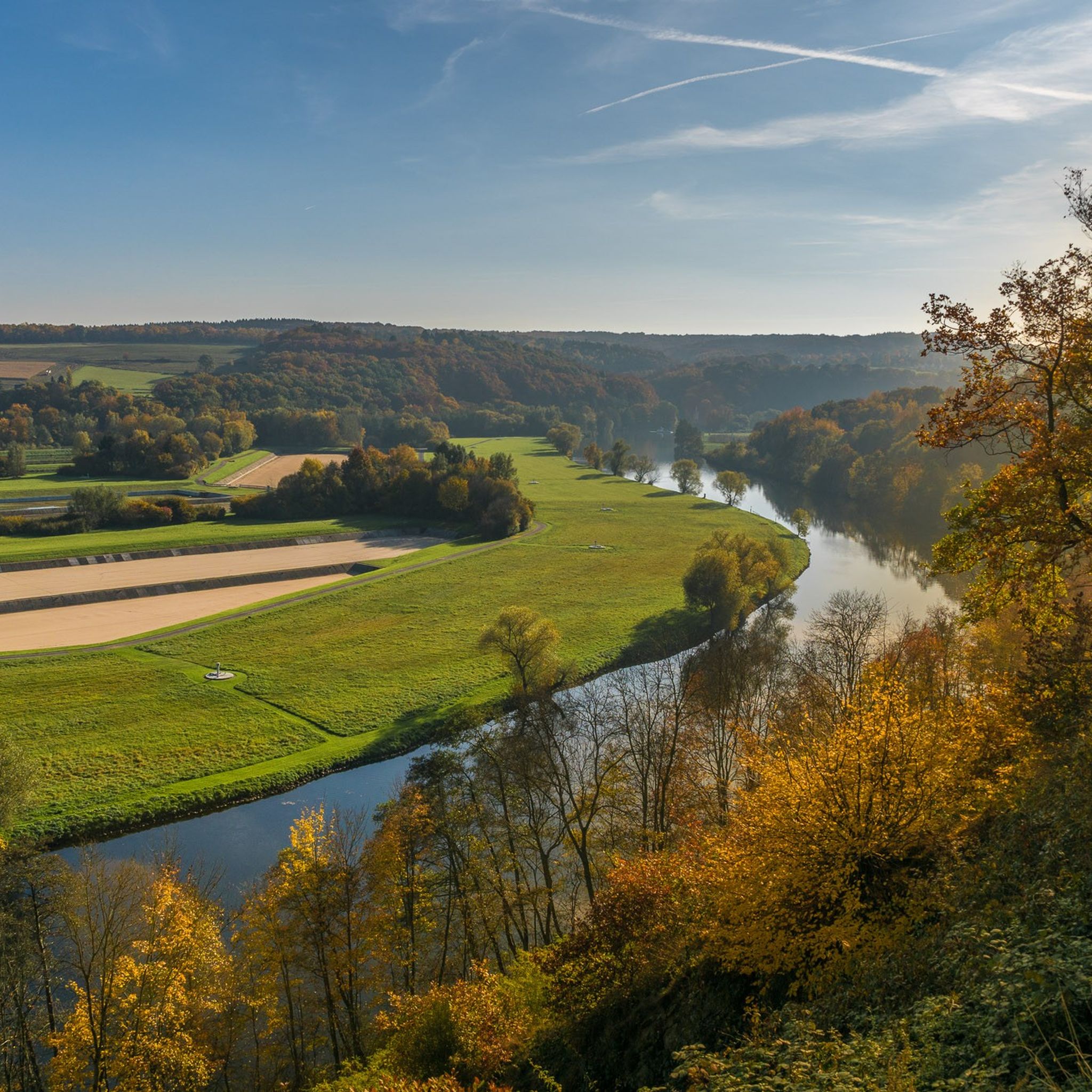
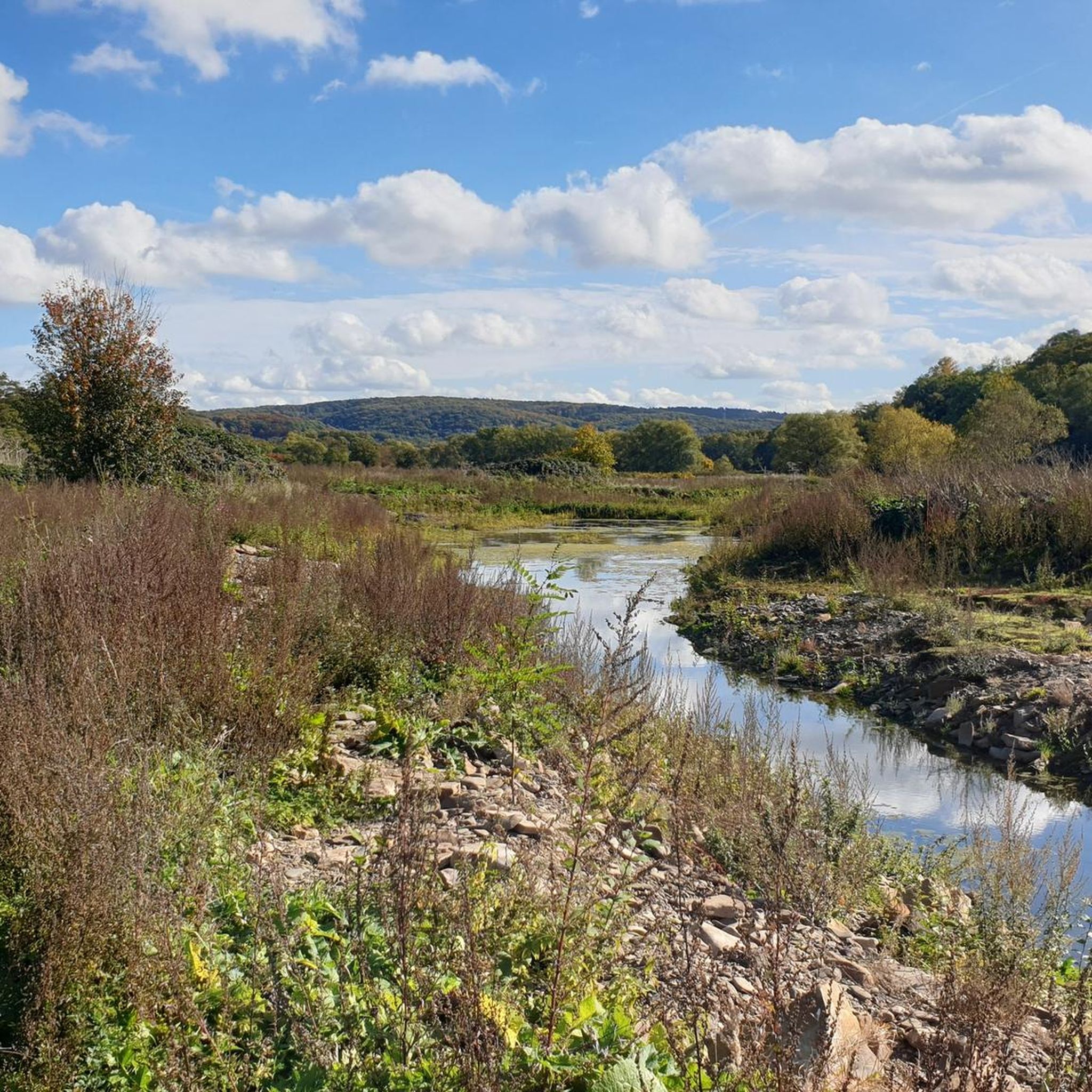
ウィッテン 周辺でおすすめのハイキングやウォーキングを楽しんでいただけるように、このエリアの小径やルートを集めたkomootコレクション全体を見直しました。 以下で各ルートの詳細をご覧になり、ウィッテン周辺の大自然を満喫する際の参考にしてください。

最終更新日: 8月 23, 2026

4.7

(403)

1,145

ハイカー

#1.

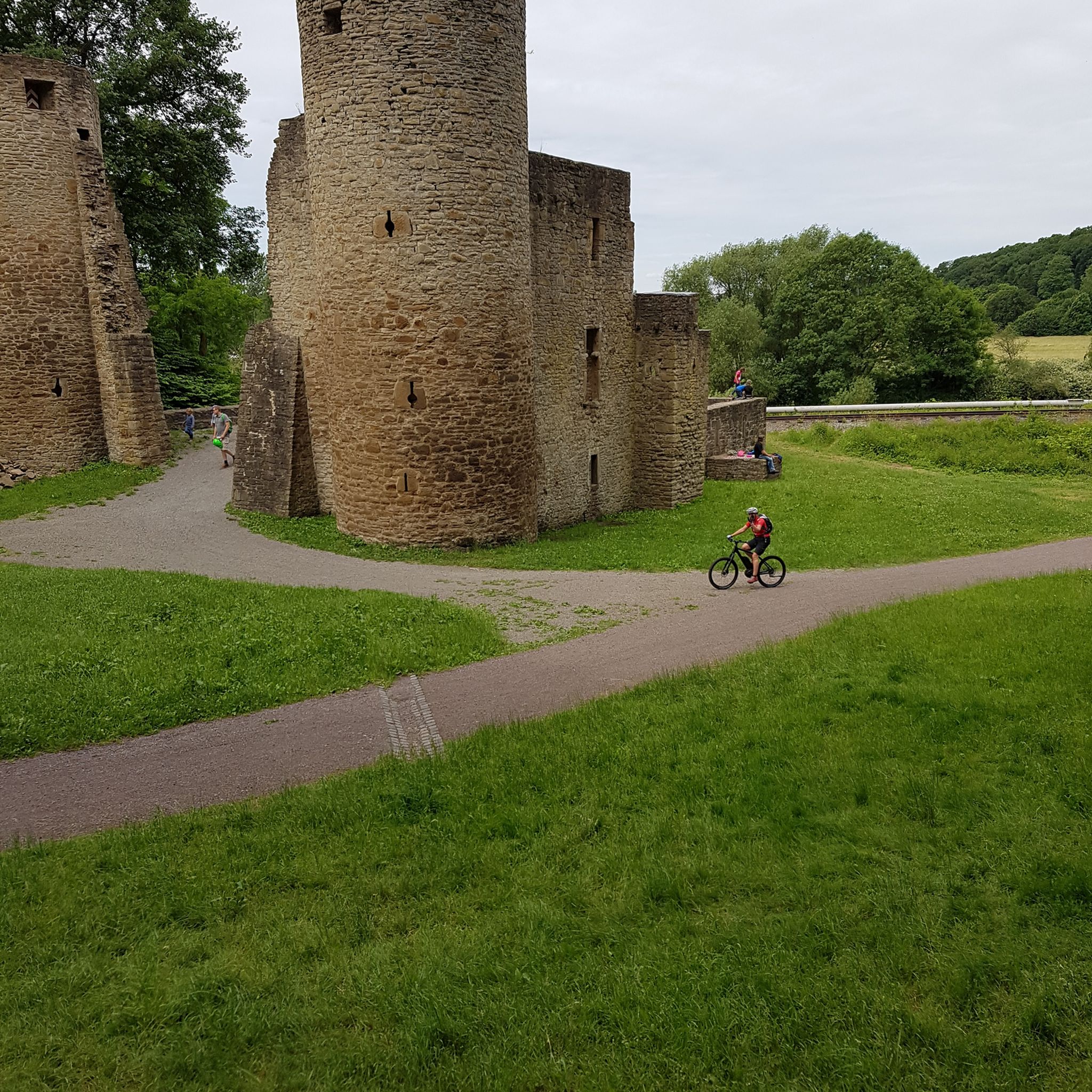
Drei-Türme-Weg Witten

13.5km

03:48

290m

290m

中程度のハイキング. ある程度のフィットネスレベルが必要です。 進みやすいルートです。あらゆるスキルレベルに適しています。

デバイスでナビ

スマートフォンに送信

保存

中程度

4.6

(228)

642

ハイカー

初級者向けハイキング. あらゆるフィットネスレベルに適しています。 進みやすいルートです。あらゆるスキルレベルに適しています。

初級
guide_signup
私たちがkomootモバイルアプリで道を示します
無料の komoot アカウントがあれば、無限のアウトドアコースを簡単に見つけてカスタマイズし、ナビで案内できます。

無料新規登録

中程度のハイキング. ある程度のフィットネスレベルが必要です。 進みやすいルートです。あらゆるスキルレベルに適しています。

中程度

難しいハイキング. ある程度のフィットネスレベルが必要です。 安定して歩行できる技術、丈夫な靴、高標高地での登山経験が必要です。

難しい

中程度のハイキング. ある程度のフィットネスレベルが必要です。 進みやすいルートです。あらゆるスキルレベルに適しています。

中程度
無料新規登録すると、ウィッテンでのでのハイキングをさらに451件ご覧いただけます。

さらに多くのルートや他のユーザーのおすすめ情報を確認できます。

無料新規登録

すでにアカウントをお持ちですか?

おすすめのツアーは他のkomootユーザーが実際に経験した何千ものアクティビティに基づいています。
無料アカウントで今日から始めよう

次の冒険が待っています。

ログインまたは登録

ウィッテン周辺で人気

ドイツのルール地域の歴史を追いながらハイキング – WestfalenWanderWeg

秋季のトップハイキングコース – ルール地区とデュッセルドルフ周辺

ドイスブルクからドールムントまでのトレイル楽しみ – ルールポットクロス2.0

ルールポット 夕べのエクスプレス – かたい夕べのルート

炭鉱に流れを追いかけて

ウィッテンでのサイクリング

ウィッテンのランニングコース

ウィッテンのロードバイクルート

ウィッテンのMTBトレイル

ウィッテンでののグラベルライド

ウィッテンでのの他の冒険

ドイツのルール地域の歴史を追いながらハイキング – WestfalenWanderWeg

ハイキングのコレクション によって

Tim S.

コミュニティからのヒント

ZimplyGe
5月 24, 2026, Elbschebach Nature Reserve

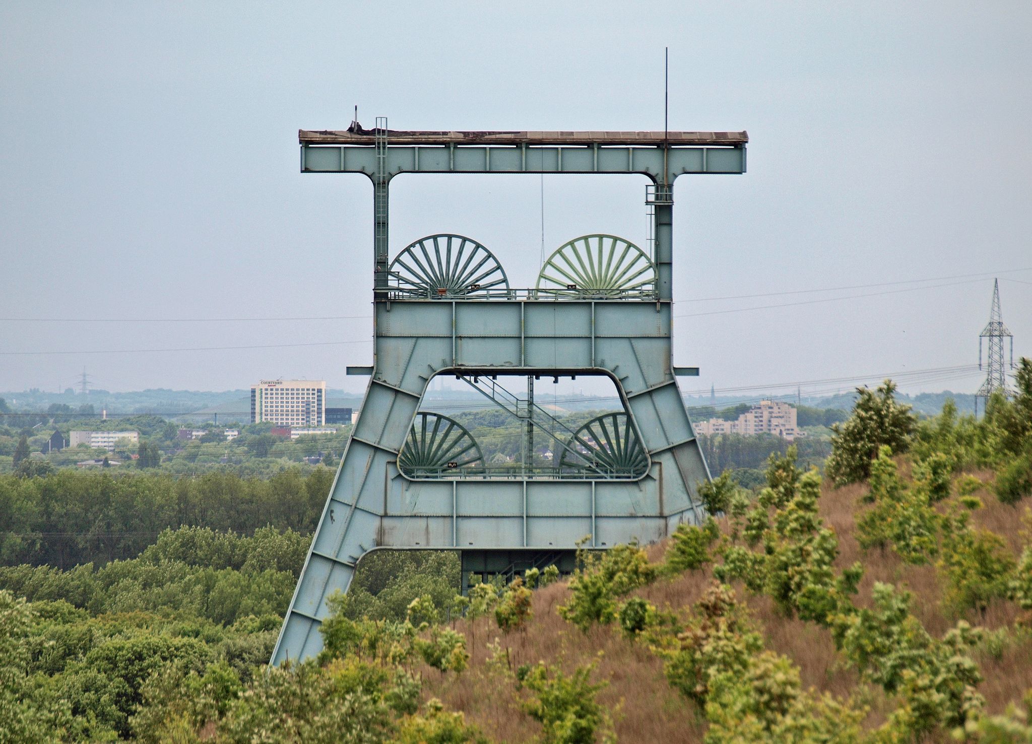
Külpm採石場の石塔

Google翻訳による翻訳

0

0

このハイキングの地図はどこにありますか?どのくらいの長さですか?

Google翻訳による翻訳

0

0

A coal mine that was not registered in the post-war period.

Google翻訳による翻訳

1

0

Attractively designed tower. It would be nice if someone would open a restaurant in the small neighboring building.

Google翻訳による翻訳

2

0

Landmark and milestone on the 3 Towers Trail.

Google翻訳による翻訳

2

0

Manu
8月 14, 2025, Bull Sculpture

There's something for everyone 😜

Google翻訳による翻訳

0

0

https://www.ruhrgebiet-industriekultur.de/muttental This mining hiking trail was designed between 1972 and 1977

Google翻訳による翻訳

1

0

In 1783, the two brothers Henrich Johann and Henrich Oberste Frielinghaus mined a coal bank that stretched from the Muttenbach eastwards beneath the Dickenberg in the Muttental. The mining area, which had been expanded to include another seam, was granted the name Jupiter in 1789. A mining tunnel was driven into the mountain, through which the two seams Jupiter 1 and 2 were mined. However, this operation was also suspended for a long time because the transport route to the Ruhr was too complicated. But after the Fortuna tunnel resumed operations in 1830, the two mines were connected by a crosscut. The Jupiter 1 mine sunk the Juno shaft in 1847. At first, the coal was mined in the 20 meter deep shaft using a hand winch. The Juno shaft was sunk a further 21 meters to the St. Johannes Erbstollen floor in 1856. A horse-drawn sledgehammer was also built on the shaft. The sledgehammer shaft was in use for many years and was the last of its kind in this area until it was temporarily closed in 1887. Many years later, the small Jupiter mine operated gleaning mining at various locations in the Muttental. Its first mining site in May 1934 was east of the Muttenbach. The entrepreneur Georg Horst had coal residues mined there, which he transported to the surrounding area and sold. The mine was put back into operation on January 1, 1954. A ton-long shaft was available for mining; this was about 60 meters deep and reached into the Finefrau seam. The shaft was equipped with a new wooden frame. Mining also took place in the Renate mine shaft for a time. In the same year, 68 miners mined 11,151 tons of hard coal. On July 11, 1955, a mining accident occurred at the mine, after which the Jupiter II mine was closed down. The relics from the gleaning mining are still there and can be visited at any time. The remains of the coal loading station shown here consist of a cable winch, a rotary tipper and the tunnel entrance of the old Jupiter mine. It was restored in 1979 and is now station 10 on the mining hiking trail. Source and link to the full article: https://www.kdwupper.de/wiege_des_bergbaus_muttental.html

Google翻訳による翻訳

0

0

ウィッテンでのの人気ルート

ウィッテンのファミリーハイキング

ウィッテンでのの人気観光スポット

Places to see

Store rating

komootモバイルアプリでインスピレーションを得よう

無料のkomootアカウントがあれば、無限のアウトドアコースを簡単に見つけてカスタマイズし、ナビで案内できます。

または

今すぐkomootに参加しよう

Store rating

さらに探索

他の地域の最高のハイキングを見てみましょう。

ハッティンゲンエネペータールヴェッター(ルール地方)ヴェッター(ルール地方)シュヴェルムシュプロックヘーベルヘルデッケKreiswaldブレッカーフェルトゲーヴェルスベルクホーエンシュタインEnnepetalsperreGlörtalsperreN.S.G. Gevelsberger StadtwaldStadtForest Muttental

近くのアドベンチャーガイド

StadtForest Muttentalでやるべきこと

background

新しいピークを征服する準備をしよう

無料でサインアップ

探検する
ルートルートプランナー機能バウチャーを利用ハイキングMTBトレイルロードバイクルートバイクパッキングサイトマップ
アプリをダウンロード
SNSでフォローする

© komoot GmbH

プライバシーポリシー