ゼーハウゼンのおすすめMTBライド
4.4
(63)
206
ライダー
32
ライド
ゼーハウゼン周辺でのマウンテンバイクは、その地形を最大限に楽しむのに最適なスポーツですが、ライドのスタート地点を探すのが難しいこともあります。ゼーハウゼン周辺でおすすめのルートが見つかるように、人気マウンテンバイクルートをご紹介します。
最終更新日: 11月 11, 2026
4.7
(13)
31
ライダー
46.8km
02:29
100m
100m
中程度のマウンテンバイクライド. ある程度のフィットネスレベルが必要です。
4.3
(4)
16
ライダー
42.7km
02:55
70m
70m
中程度のマウンテンバイクライド. ある程度のフィットネスレベルが必要です。

4.6
(7)
21
ライダー
66.6km
04:03
90m
90m
中程度のマウンテンバイクライド. ある程度のフィットネスレベルが必要です。
4.6
(5)
16
ライダー
31.9km
01:48
70m
70m
初級者向けMTBライド.
5.0
(1)
10
ライダー
50.5km
02:45
80m
80m
中程度のマウンテンバイクライド. ある程度のフィットネスレベルが必要です。
さらに多くのルートや他のユーザーのおすすめ情報を確認できます。
すでにアカウントをお持ちですか?
おすすめのツアーは他のkomootユーザーが実際に経験した何千ものアクティビティに基づいています。
無料アカウントで今日から始めよう
次の冒険が待っています。
ゼーハウゼンでのの他の冒険

コミュニティからのヒント


ヴィッテンベルゲ近郊の新しいB189橋は、A14高速道路の拡幅工事の一部であり、その北側に隣接する老朽化した旧橋(1978年建設、最長のDDR道路橋)です。2026年半ばから交通が開始される予定の新橋は、エルベ川の横断を近代化し、古い構造に取って代わるための大規模なインフラプロジェクトの一部として建設されています。
4
0
Hitzacker-Wittenberge区間では、ユネスコ生物圏保護区「エルベ川流域」に組み込まれた自然と歴史が、エルベ自転車道(Elberadweg)の興味深いツアー区間を提供しています。町々の間の静けさと、コウノトリ、ツル、ビーバー、羊などのカラフルな野生生物は、この景観の原生性を物語っています。春と秋には特徴づけられます。
4
0

The observation tower on the Elbe Cycle Path near Bälow is situated in the heart of the Elbe floodplains and offers a panoramic view of the river landscape, dikes, and meadows of the Prignitz region. It primarily serves as a rest stop and viewpoint for cyclists on the Elbe Cycle Path, as well as an observation point for the diverse birdlife of the Elbe River Landscape Biosphere Reserve. From the elevated platform, numerous water birds and meadow birds can be observed, especially during migration seasons, thus combining landscape observation with a nature experience.
0
0
The Gnevsdorf drainage canal is an approximately eleven-kilometer-long, artificially constructed canal between the Havel and Elbe rivers, serving as an additional outlet into the Elbe. Its design aimed to shift the Elbe's backwater level downstream to a lower level, thus effectively relieving pressure on the Lower Havel during floods. Simultaneously, the canal improves the flow of Havel water to the Elbe, which has a steeper gradient. The Gnevsdorf drainage canal is part of a comprehensive flood protection system that also includes several weirs and the Havelberg lock.
0
0
The village church of Bälow, a striking brick building, dominates the village landscape. It was erected in 1914/15 according to plans by the Royal Building Councilor Georg Büttner, reusing building materials from the older church dating back to 1661. The rectangular structure with its projecting tower and spire was built after several relocations of the village due to Elbe River floods, as well as the fire and subsequent demolition of the earlier timber-framed church. Now a listed historical monument, the church stands today as a testament to the eventful history of the village and the religious life of the Prignitz region along the Elbe River.
0
0
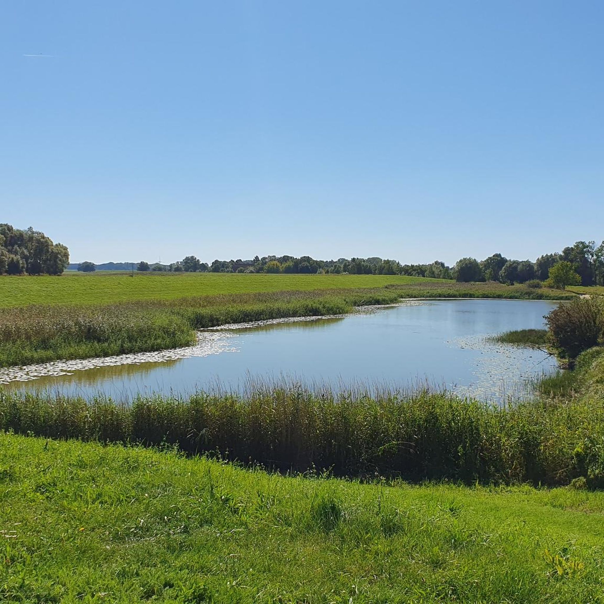
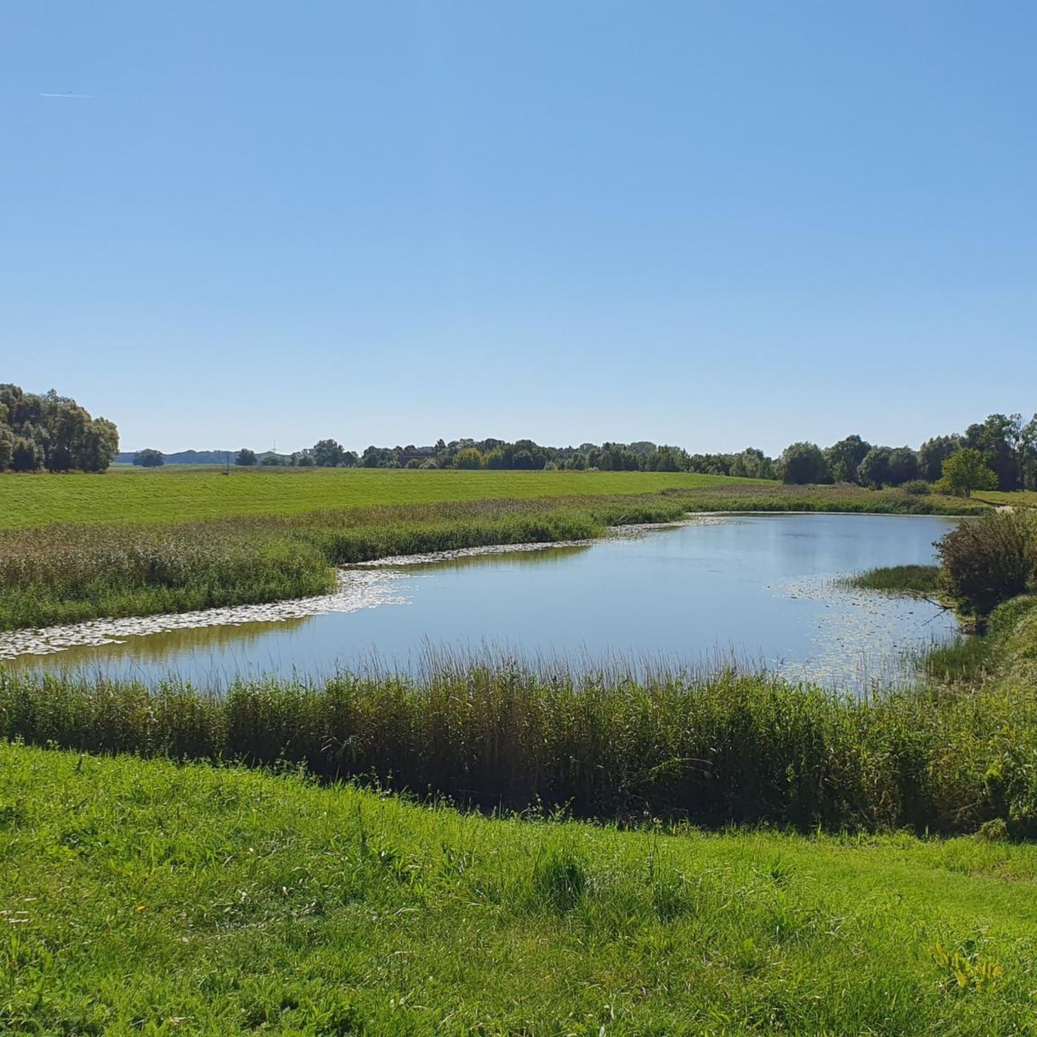
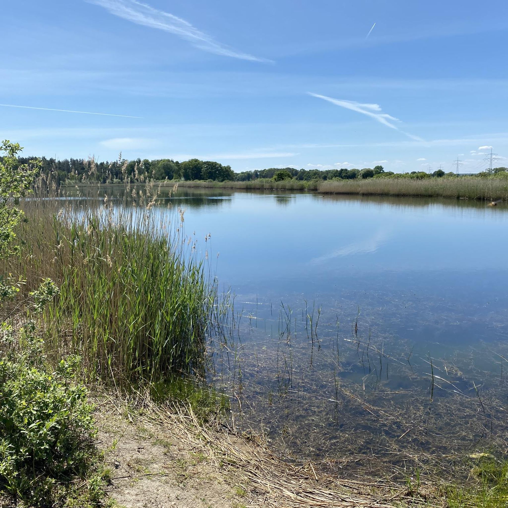
A sprawling, flat river landscape characterized by waterways, meadows, and groups of trees. The lowlands serve as a natural floodplain and change their appearance depending on the water level and season. Open vistas are characteristic, making the area a typical example of a near-natural Elbe floodplain landscape.
0
0
ゼーハウゼンでのの人気観光スポット

komootモバイルアプリでインスピレーションを得よう


さらに探索
他の地域の最高のMTBトレイルを見てみましょう。
