マデージモのおすすめウォーキング&ハイキングルート
4.4
(1092)
6,095
ハイカー
141
ハイキング
マデージモ周辺でのハイキングは、景色を満喫するのに最適な手段のひとつですが、適切なハイキングルートを見つけることは簡単ではありません。 マデージモ周辺の人気ハイキング&ウォーキングコースを参考にすれば、行きたいルートをすぐに見つけられます。
最終更新日: 8月 30, 2026
4.5
(61)
190
ハイカー
7.06km
03:35
530m
520m
難しいハイキング. ある程度のフィットネスレベルが必要です。 安定して歩行できる技術、丈夫な靴、高標高地での登山経験が必要です。
4.5
(59)
187
ハイカー
7.09km
03:37
530m
530m
難しいハイキング. ある程度のフィットネスレベルが必要です。 安定して歩行できる技術、丈夫な靴、高標高地での登山経験が必要です。

無料新規登録
4.7
(52)
285
ハイカー
11.5km
03:46
340m
340m
中程度のハイキング. ある程度のフィットネスレベルが必要です。 全般的に進みやすいルートです。安定して歩行できる技術が必要です。
4.3
(18)
90
ハイカー
5.37km
02:52
490m
490m
中程度のハイキング. ある程度のフィットネスレベルが必要です。 全般的に進みやすいルートです。安定して歩行できる技術が必要です。
4.7
(23)
131
ハイカー
11.6km
05:24
730m
730m
難しいハイキング. 標準以上のフィットネスレベルが必要です。 安定して歩行できる技術、丈夫な靴、高標高地での登山経験が必要です。
さらに多くのルートや他のユーザーのおすすめ情報を確認できます。
無料新規登録
すでにアカウントをお持ちですか?
おすすめのツアーは他のkomootユーザーが実際に経験した何千ものアクティビティに基づいています。
無料アカウントで今日から始めよう
次の冒険が待っています。
ログインまたは登録
マデージモ周辺で人気
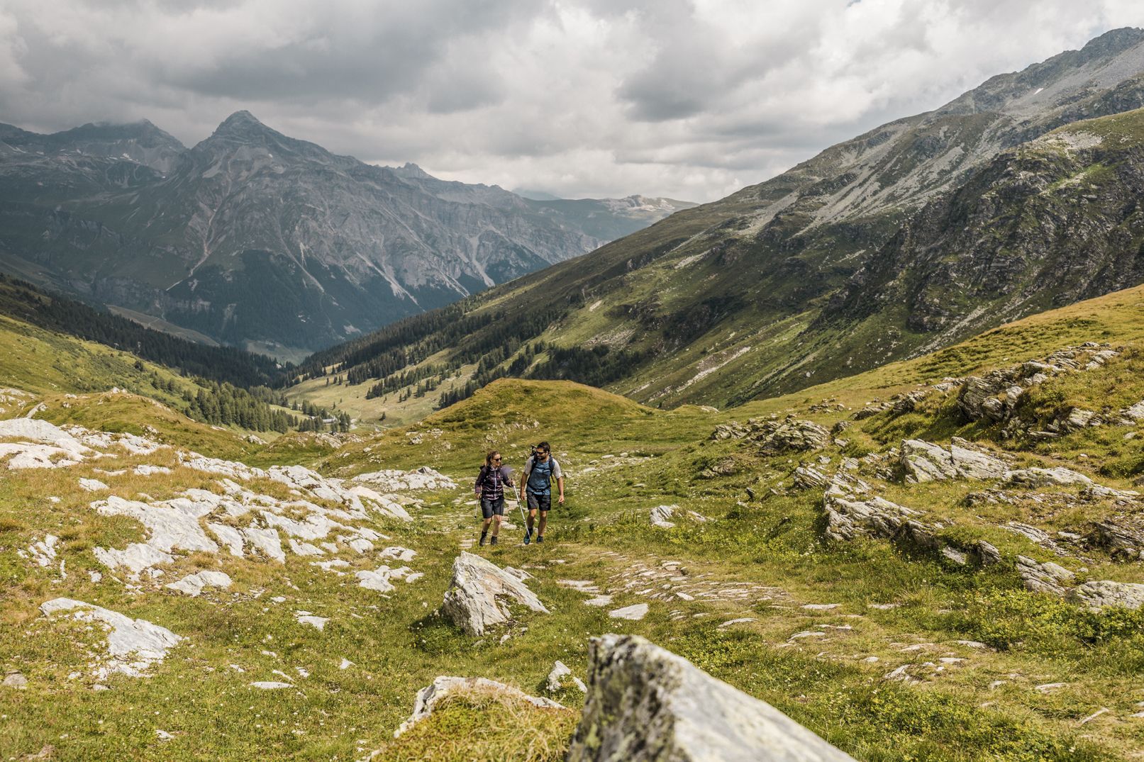
深い峡谷、滝とターコイズブルーの湖の間 - ヴィア・スプラーガ
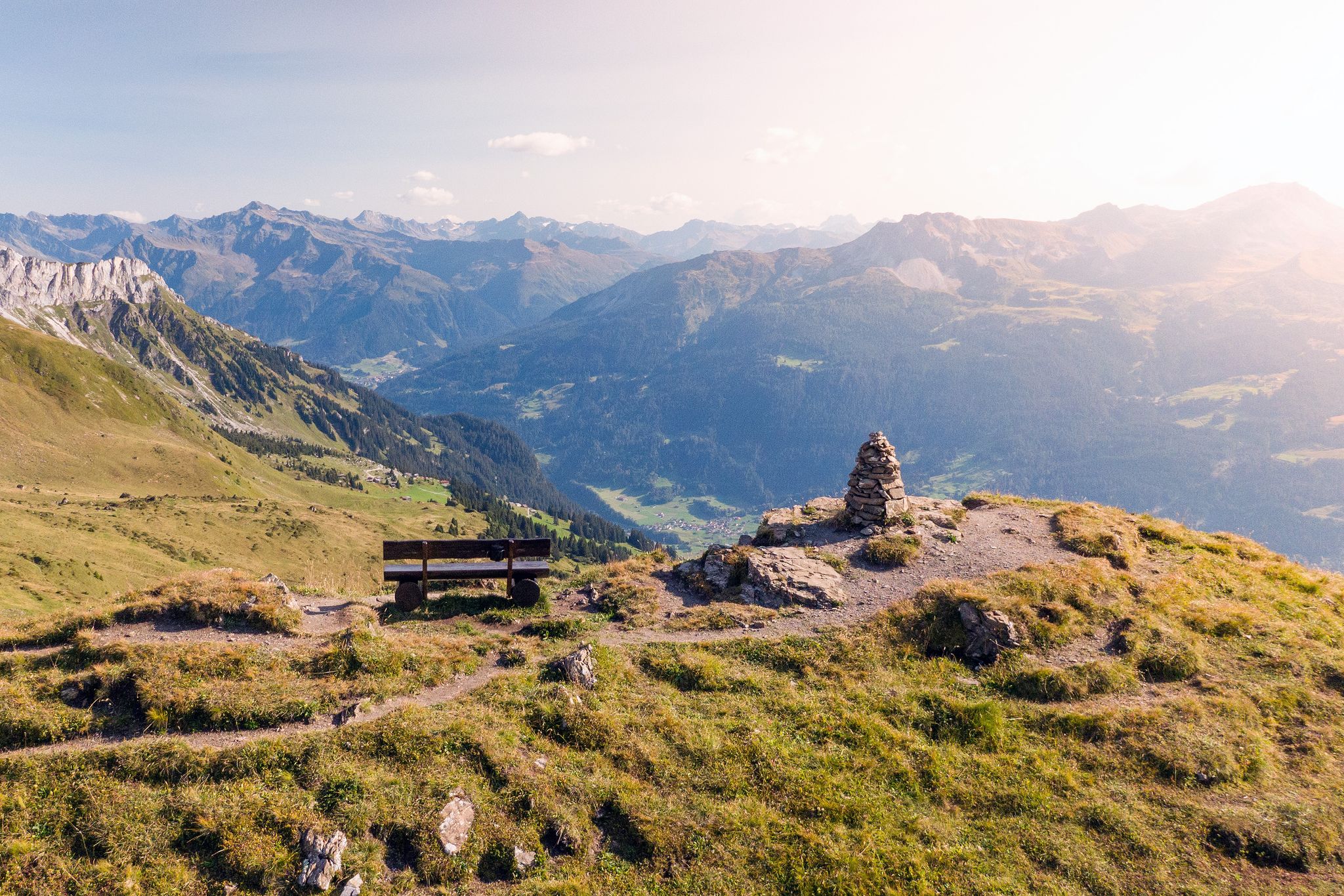
Long-distance hiking in the Grisons — 3 routes in Switzerland
On the viaSpluga from Thusis to Chiavenna
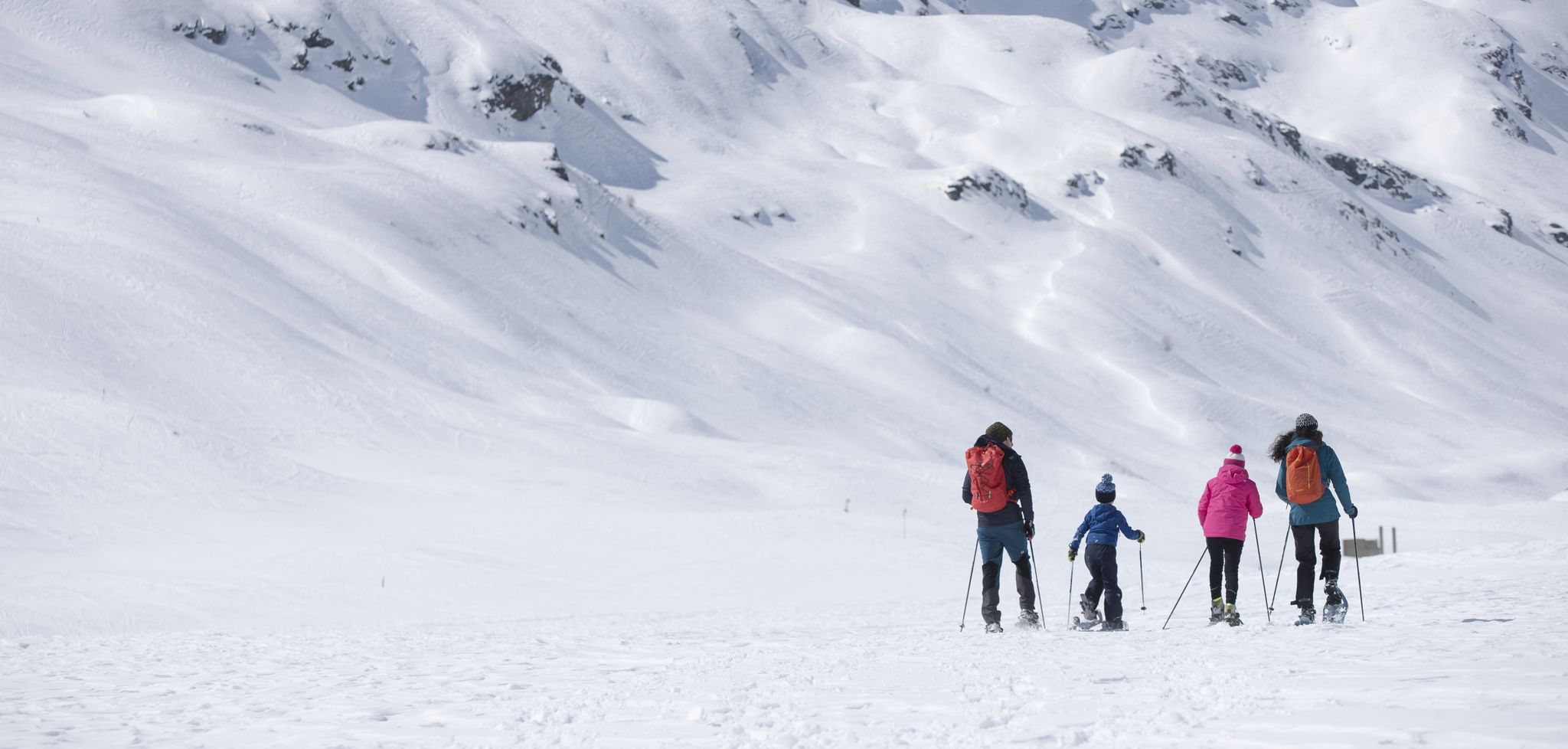
Inverno in Valtellina, a passo lento sulla neve
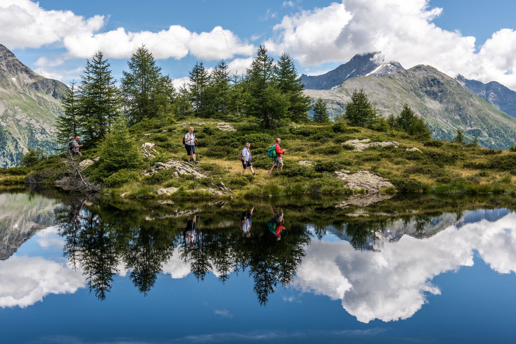
Oasi di tranquillità alpina – 5 laghi da non perdere in Valchiavenna
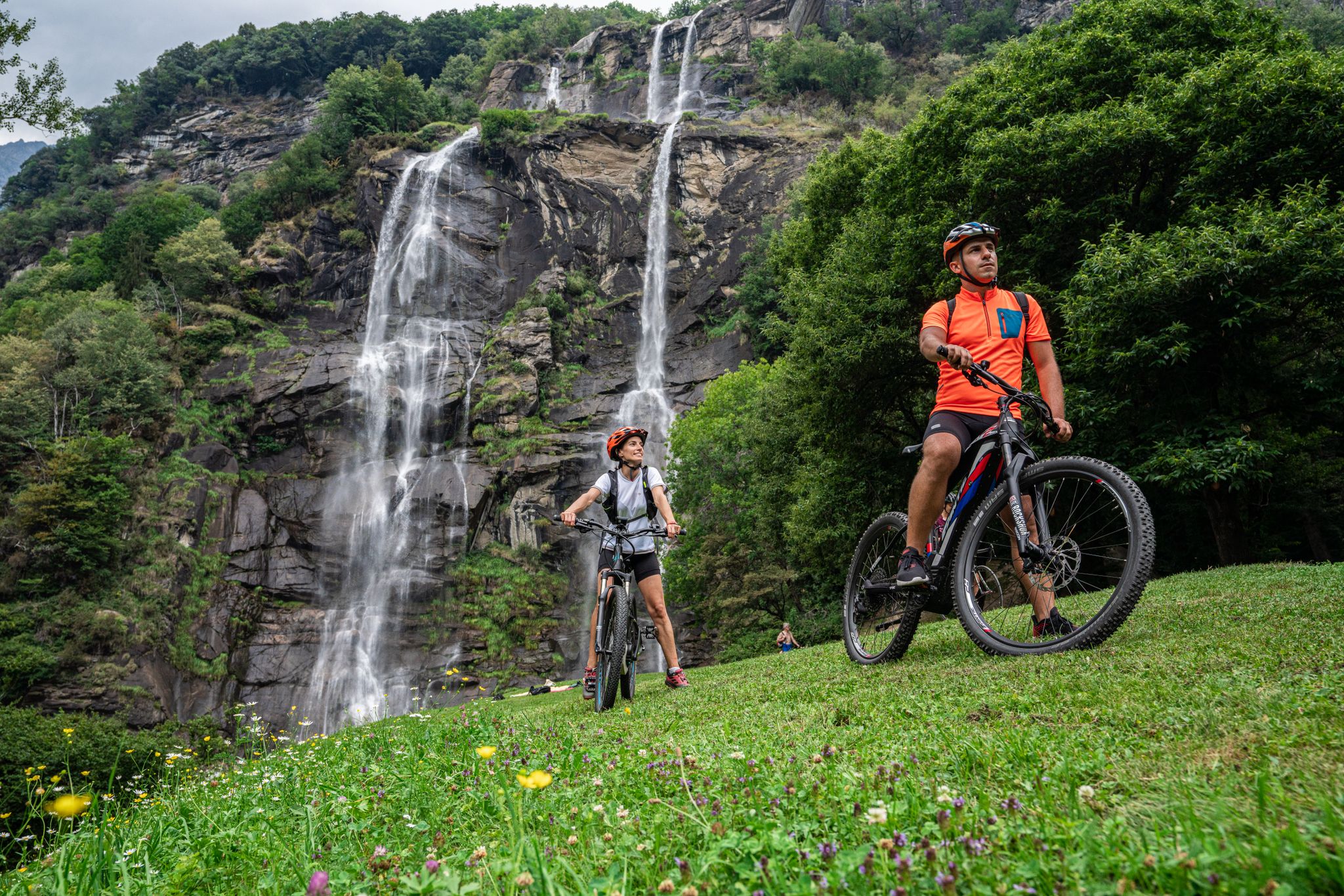
La Valchiavenna in MTB – itinerari da non perdere
マデージモでのサイクリング
マデージモのMTBトレイル
マデージモのロードバイクルート
マデージモのランニングコース
マデージモでのの他の冒険


コミュニティからのヒント

絶え間ない、しかし子供連れでも可能な登りの後、私たちの目的地はここにあります:「ヨーロッパの聖母」
0
0

必見の場所です。料理は地元のものですが信じられないほど美味しく、スタッフは親切で山に親しみやすく、エメット湖とすべてのピーク(スパドラッツォ、タンボ'、ピッツォ・クアドロなど)の景色は息をのむほど素晴らしいです。
0
0

Been there today. It doesn’t get much better than this!!!
0
1

Sometimes there is also good food here, if there is no private event going on
1
0

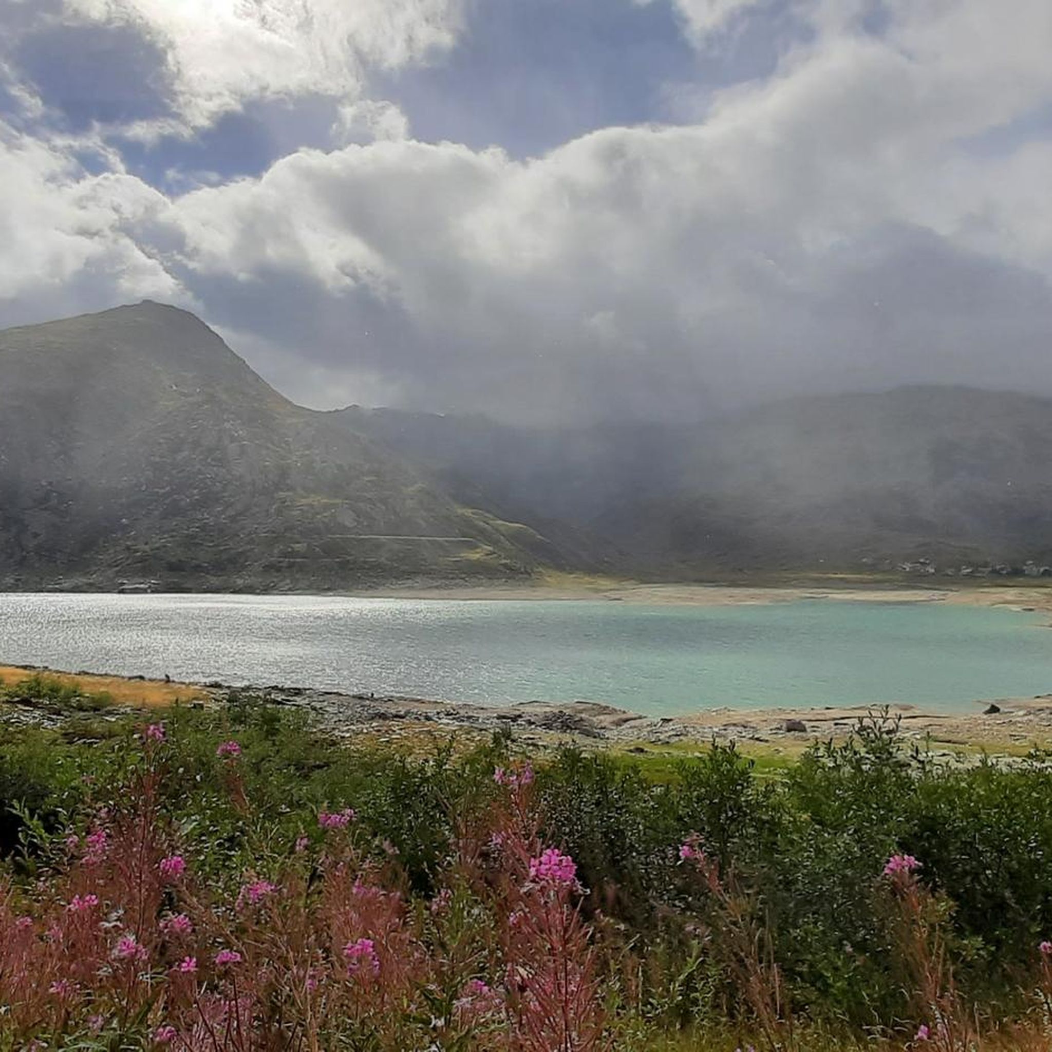
モンテスプルガ SO モンテスプルガの山村は、標高1908mに位置し、ヴァル・サン・ジャコモ(ヴァッレ・スプルガとも呼ばれる)の始まりにあり、スプルガ峠の峠から約3kmの地点にあります。この場所は、ピッツォ・タンボのようなこの地域の国境の頂の近く、ヴァル・サン・ジャコモとヴァル・ロガが出会う、水と牧草が豊富な盆地に形成されました。1927年、モンテスプルガの約2km南に位置するダムの建設により、トリエンテ・リロが村の下にあるモンテスプルガ湖にせき止められました。 峠道沿いの数軒の家、レストラン、ホテル、店、そして古い税関の建物「ラ・カーサ」があるこの村は、ほとんど変わっていません。1841年まで、ここにはスプルガ峠唯一の宿場と、唯一の礼拝堂であるサン・フランチェスコ・ダッシジ礼拝堂がありました。後者は、1822年のスプルガ峠の新道路完成後、1832年に奉献されました。すでに1767年には、スイスにおける教皇大使であり、後の枢機卿であるルイージ・ヴァレンティ・ゴンザーガが、宿場に小さな礼拝堂を設置する許可を与えていました。 サン・ベルナルディーノ・トンネルが開通して以来、峠は冬の間は閉鎖されています。3つの通り(ヴィア・ドガーナ、ヴィア・フェッレ、ヴィア・ヴァル・ロガ)で構成されるこの村は、イタリアとスイスの両方から孤立する可能性があります。 モンテスプルガは、周辺の山々への数多くのハイキング、登山、スキーツアーの出発点であり、国境を越える長距離遊歩道ヴィア・スプルガの通過地点でもあります。 テキスト/出典: wikipedia.org https://de.wikipedia.org/wiki/Montespluga
11
0
Splügen Pass / Passo dello Spluga The Splügen Pass has been proven to have been used since prehistoric times. There are also references to this in Roman times, e.g. the Itinerarium Antonini, a Roman road map from around 300 AD. The very close connections between the bishoprics of Chur and Como ran over the Splügen Pass. As early as 1396, there was evidence of significant customs revenues at Splügen. The expansion of the Viamala Gorge promoted its boom. The movement of goods was carried almost exclusively by packhorses, which meant frequent reloading. Transit traffic formed an important part of the flourishing economy. As late as 1798, the Austrian Field Marshal von Bellegarde wrote: "The largest train of goods from Milan to Germany goes over this pass, but mostly on horses and mules." Between 1818 and 1823, the first road that was passable for freight wagons and stagecoaches was built at the same time as the San Bernardino, and to a large extent it still follows the same route as it was then. After that, freight volumes and international passenger traffic over the Splügen increased several times over and reached their peak in the mid-1850s. The opening of the Alpine railways (1867 Brenner, 1872 Mont Cenis) had already reduced transit traffic over the Splügen. The opening of the Gotthard Railway in 1882 brought Graubünden transit traffic to a virtual standstill. A large wave of emigration was a direct result. The decades-long efforts to build a Splügen railway ultimately failed. The construction of the national road with a car tunnel at the San Bernardino opened up new perspectives. The Splügen Pass has been closed in winter since World War II. Text / Source: Interest Group for Alpine Passes IAP, PO Box 11, 6491 Realp https://www.alpen-paesse.ch/de/alpenpaesse/spluegenpass/
11
0
Splügen Pass (Alpine crossing (2113 m) Alpine crossing (2113 m) on the border between the Rheinwald in the Hinterrhein valley and the Italian Val San Giacomo (St. Jakobstal). The village of Splügen at the northern starting point, mentioned around 840 as cella in speluca, gave the pass its name. Italian Passo dello Spluga, Romanesque Pass dal Spleia. In the Middle Ages, the Splügen Pass was also known as Colmen d'Orso and Urschler. At the same time as the San Bernardino, the first road that was open to freight wagons and carriages was built between 1818 and 1823. After the Simplon and before the Gotthard, the Lower Road was thus the second Swiss "artificial road" across the Alps. For the route from Chur over the San Bernardino to Bellinzona, the Kingdom of Sardinia-Piedmont was responsible for a large part of the costs, in addition to the canton of Graubünden. The The Lombardo-Venetian Kingdom saw this as a threat to the volume of traffic over the Splügen Pass and in return had a road built at its own expense across the national border to the village of Splügen. This road essentially corresponded to the route still used at the beginning of the 21st century. On the north side, according to the plans of engineer Carlo Donegani, the road no longer led through the avalanche slope of the Altberg. On the south side, an almost completely new route was chosen below Monte Spluga to Campodolcino, bypassing the Cardinell Gorge. Many galleries and refuge houses were built at regular intervals, especially on the south side. After the devastating flood damage of 1834, the road was rebuilt in some places. In 1841, the first mountain house with the customs station was built on the north side (2022 m). Text / Source: Historical Dictionary of Switzerland (HLS) https://hls-dhs-dss.ch/de/articles/008823/2013-01-10/
14
0

komootモバイルアプリでインスピレーションを得よう


さらに探索
他の地域の最高のハイキングを見てみましょう。
