トレメッツィーナのおすすめ登山&山歩きルート
5.0
(3)
22
ハイカー
6
ハイキング
コモの山々をもっと探索しませんか?このガイドでご紹介するのは、komootがトレメッツィーナでの登山&山歩きのコレクション全体を評価して選び抜いた、このエリアの人気ルートです。あなたに合ったルートを見つけるには、他のユーザーがアップロードした役立つ情報や写真を閲覧し、クリック操作で簡単に表示できる詳細なデータを参考にしましょう。トレメッツィーナでの次の冒険にぴったりの登山&山歩きルートが見つかるはずです。
最終更新日: 8月 28, 2026
5.0
(1)
4
ハイカー
6.07km
02:22
410m
410m
中程度の登山ルート. ある程度のフィットネスレベルが必要です。 全般的に進みやすいルートです。安定して歩行できる技術が必要です。
5.0
(2)
4
ハイカー
9.15km
03:40
570m
570m
中程度の登山ルート. ある程度のフィットネスレベルが必要です。 全般的に進みやすいルートです。安定して歩行できる技術が必要です。

無料新規登録
5
ハイカー
8.70km
05:11
940m
940m
難しい登山ルート. 標準以上のフィットネスレベルが必要です。 安定して歩行できる技術、丈夫な靴、高標高地での登山経験が必要です。
5
ハイカー
14.3km
06:41
1,200m
1,200m
難しい登山ルート. 標準以上のフィットネスレベルが必要です。 安定して歩行できる技術、丈夫な靴、高標高地での登山経験が必要です。
4
ハイカー
6.14km
04:27
920m
920m
難しい登山ルート. 標準以上のフィットネスレベルが必要です。 安定して歩行できる技術、丈夫な靴、高標高地での登山経験が必要です。
おすすめのツアーは他のkomootユーザーが実際に経験した何千ものアクティビティに基づいています。
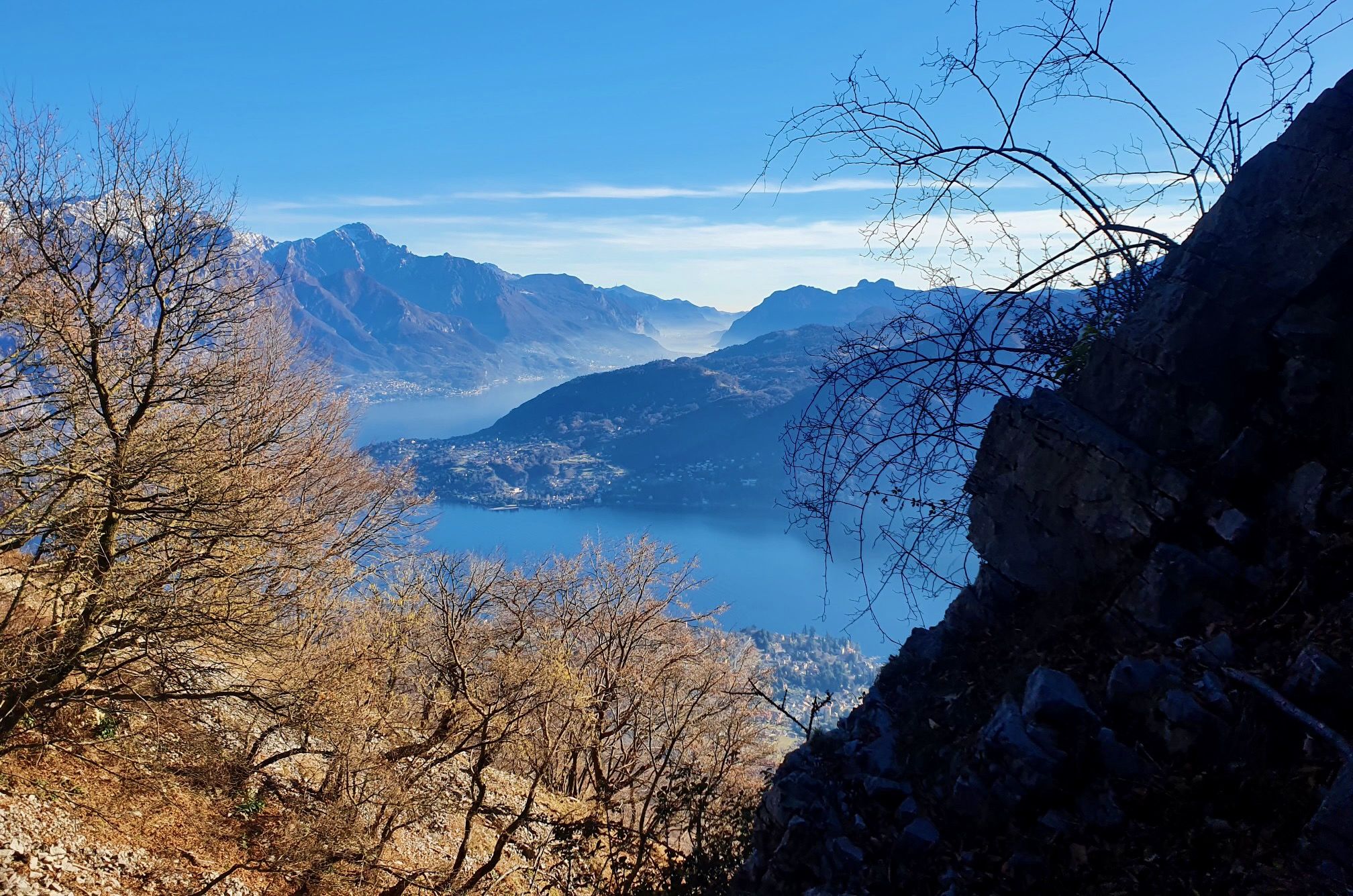
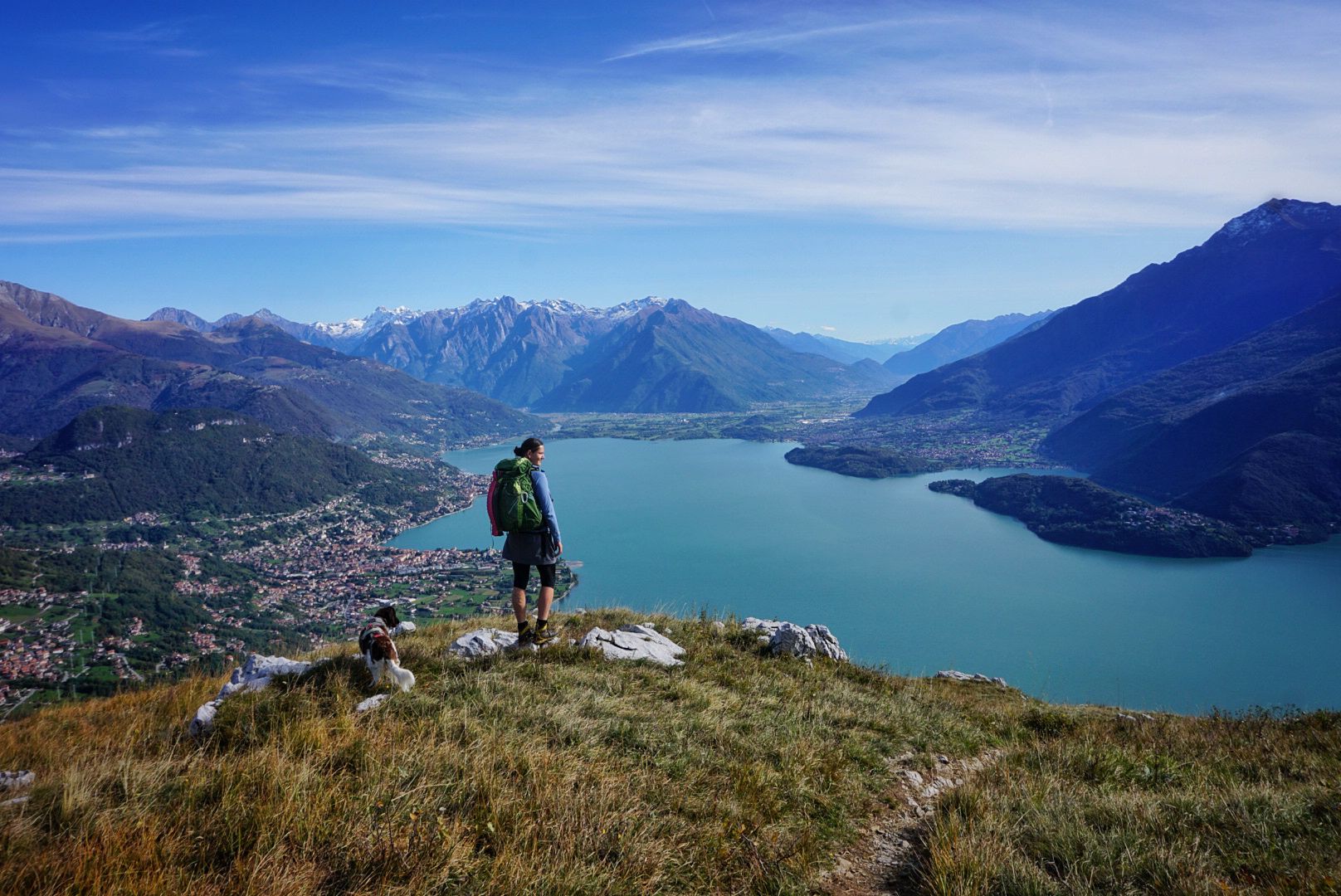
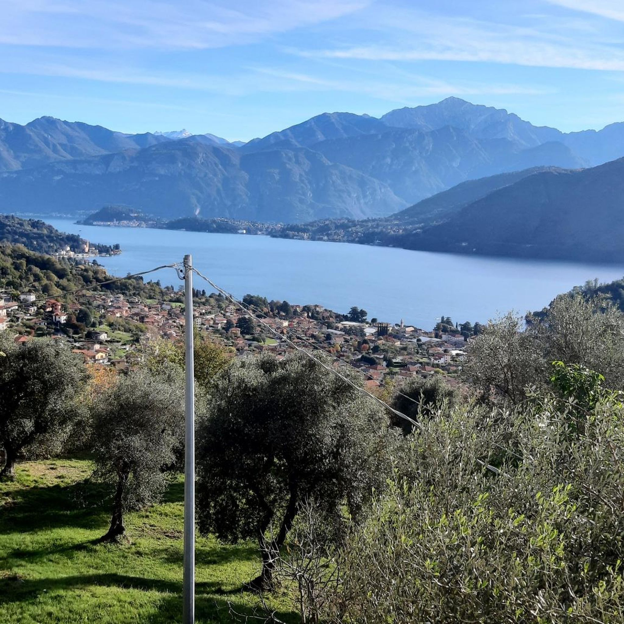
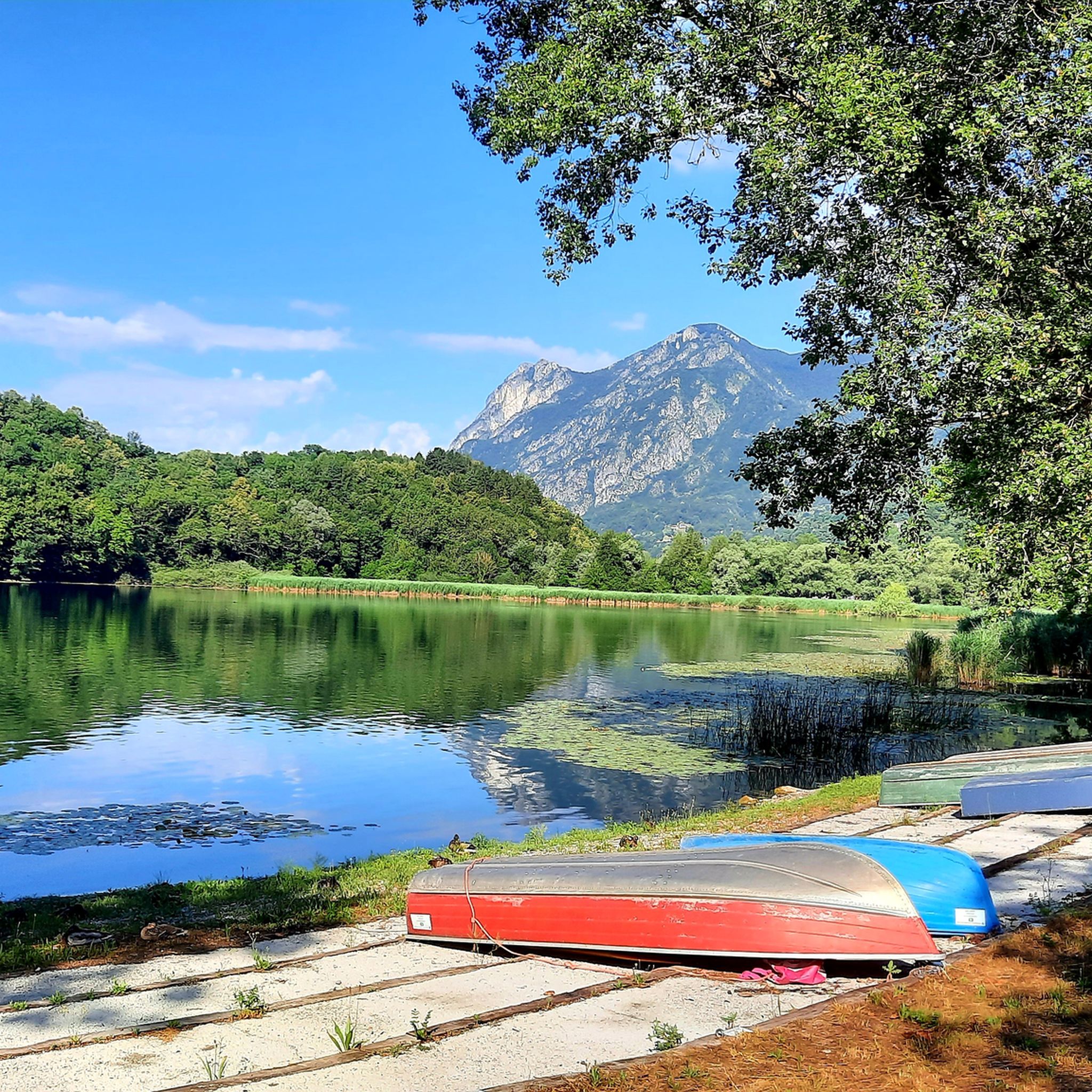
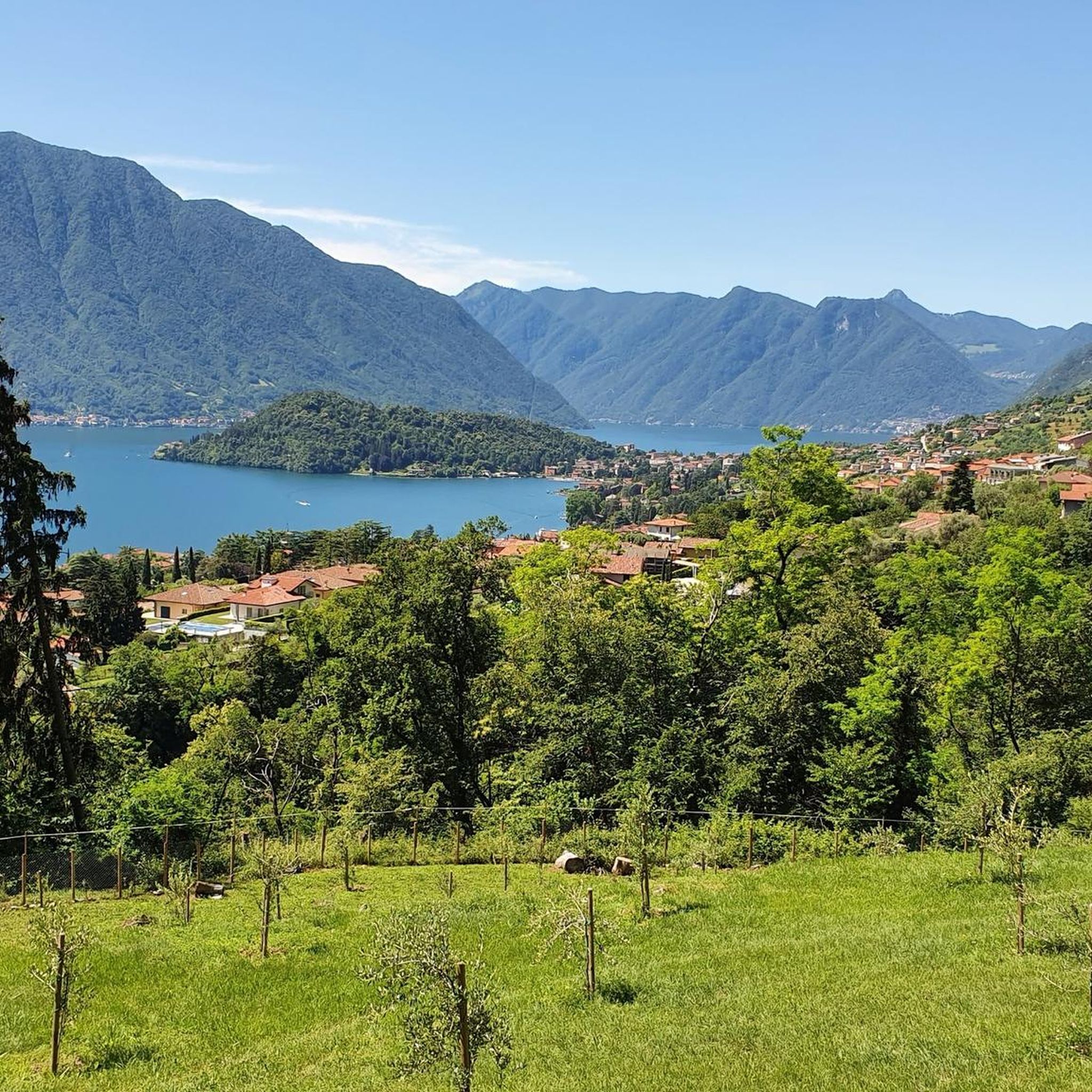
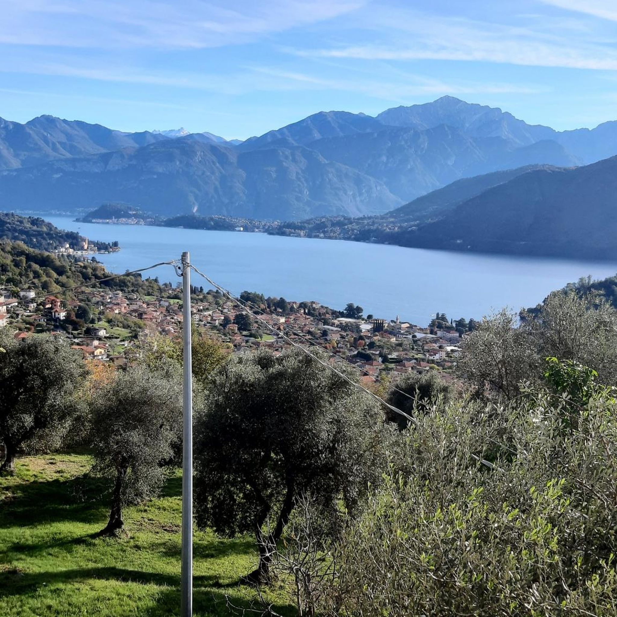
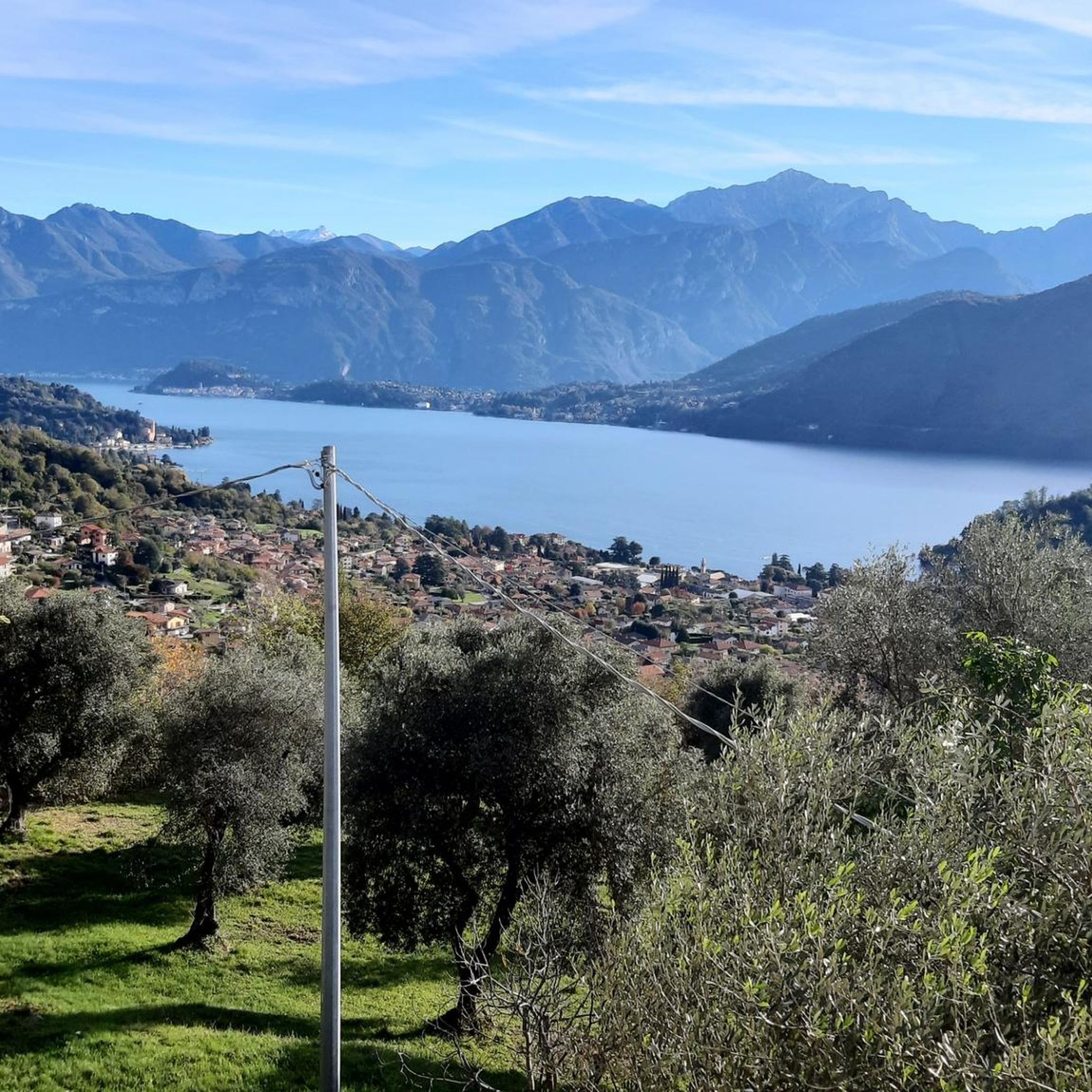



コミュニティからのヒント


A jewel overlooking the valley. A little corner of history
0
0

Rifugio Menaggio, located at 1383 m, offers unique views of Lake Como. It is the ideal base for climbing Monte Grona, with via ferratas or challenging trails. It is a panoramic and welcoming point for every hiker, it is managed by the CAI and offers refreshments and overnight stays in the summer season.
3
1

One of the three peaks (together with Sertore and Pasquella) that separates the valley that descends to the lake towards Colonno from the valley that descends towards Ponna and towards Val d'Intelvi. Reachable via an easy path from the Colonno alp (where there is a large parking lot and a refuge), and that in less than an hour leads to a magnificent view of Lake Como and Galbiga. A few meters down from the peak there is a practical table with two wooden benches.
1
0

From here the path becomes increasingly steep and narrow, slippery in wet weather in winter and autumn. Difficult climb to the top. Then also very difficult descent over narrow rocky paths, then wide but steep descent to the city
0
0

great ridge views
0
0


komootモバイルアプリでインスピレーションを得よう


さらに探索
他の地域の最高の登山ハイキング & ルートを見てみましょう。
